2000s (21st Century) Maps of Bloomfield Township, Michigan
Explore 20 historic maps of Bloomfield Township from the 2000s (21st Century). These maps offer a rare glimpse into what life looked like during the 2000s — showing old roads, neighborhoods, homes, and landmarks that have changed or disappeared over time.
Whether you're researching your family's past, planning a metal detecting trip, or studying how Bloomfield Township's landscape evolved across the 2000s, these high-resolution maps are a powerful tool for exploring the history of this region.
- Focus on a specific era: All maps on this page are from the 2000s, giving you a focused view of this time period.
- See what’s changed: Compare century-old streets, trails, and buildings to today's modern landscape using overlays and satellite layers.
- Research with precision: Use these maps for genealogy, historical research, land use analysis, or educational projects.
- View, download, or print: Maps are fully viewable online in high resolution, and can be downloaded or printed for your own records.
Start exploring Bloomfield Township's history through authentic maps from the 2000s. This is your window into the past.
Bloomfield Township, MI maps
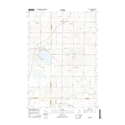
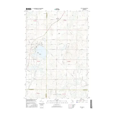
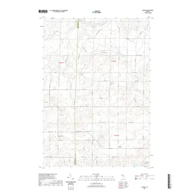
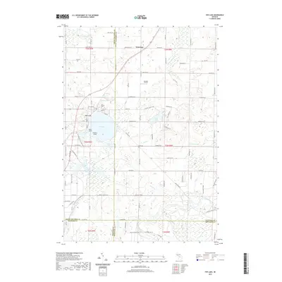
(20)- 2011 Map of Fife Lake, 2011 Print
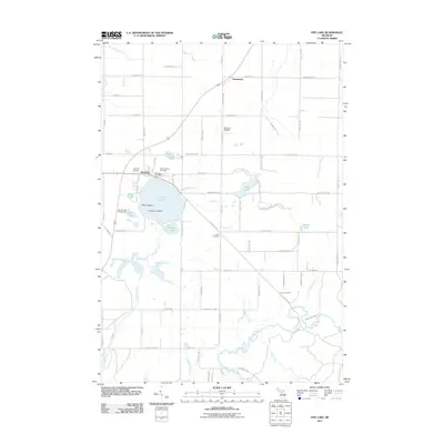 2011 Fife Lake2011 Print · USGSCovers Bloomfield Township, including Fife Lake Township, Union Township, and other nearby areas
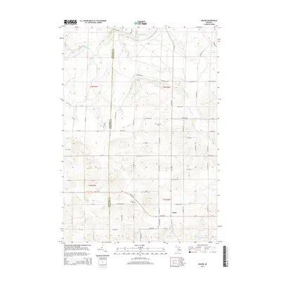
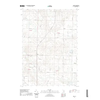
 - 2011 Map of Arlene, 2011 Print
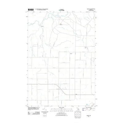 2011 Arlene2011 Print · USGSCovers Bloomfield Township, including Caldwell Township, Liberty Township, and other nearby areas
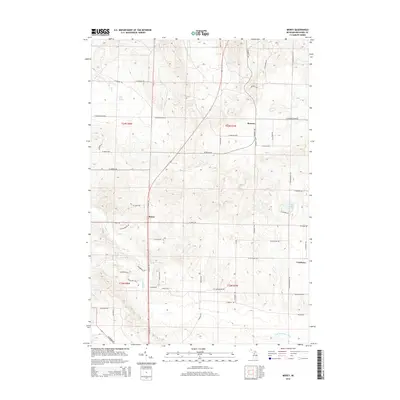
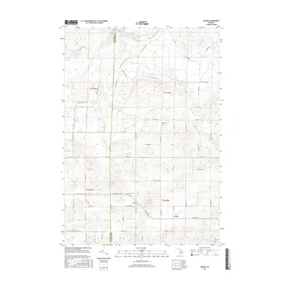
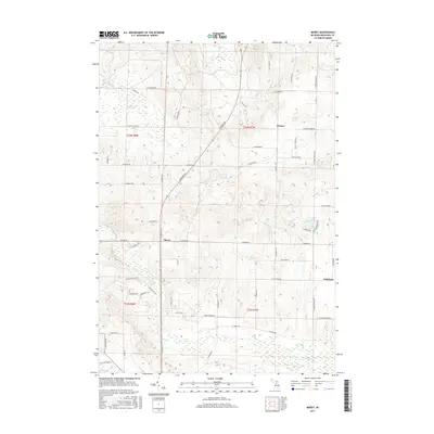
 - 2011 Map of Morey, 2011 Print
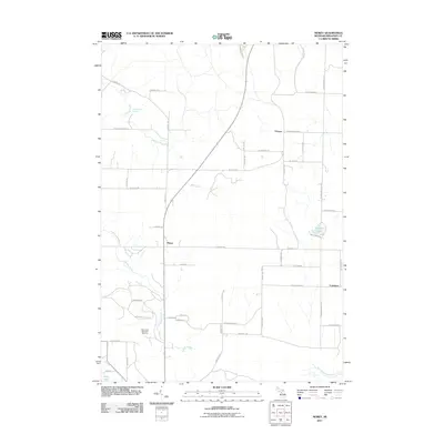 2011 Morey2011 Print · USGSCovers Bloomfield Township, including Pioneer, Caldwell Township, and other nearby areas
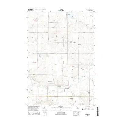
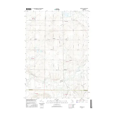
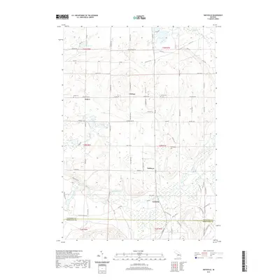
 - 2011 Map of Smithville, 2011 Print
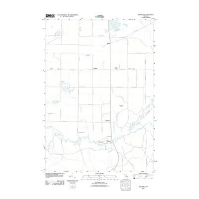 2011 Smithville2011 Print · USGSCovers Bloomfield Township, including Boardman Township, Garfield Township, and other nearby areas
 - 2014 Map of Fife Lake, 2014 Print
 2014 Fife Lake2014 Print · USGSCovers Bloomfield Township, including Fife Lake Township, Union Township, and other nearby areas
 - 2014 Map of Arlene, 2014 Print
 2014 Arlene2014 Print · USGSCovers Bloomfield Township, including Caldwell Township, Liberty Township, and other nearby areas
 - 2014 Map of Morey, 2014 Print
 2014 Morey2014 Print · USGSCovers Bloomfield Township, including Pioneer, Caldwell Township, and other nearby areas
 - 2014 Map of Smithville, 2014 Print
 2014 Smithville2014 Print · USGSCovers Bloomfield Township, including Boardman Township, Garfield Township, and other nearby areas
 - 2017 Map of Fife Lake, 2017 Print
 2017 Fife Lake2017 Print · USGSCovers Bloomfield Township, including Fife Lake Township, Union Township, and other nearby areas
 - 2017 Map of Arlene, 2017 Print
 2017 Arlene2017 Print · USGSCovers Bloomfield Township, including Caldwell Township, Liberty Township, and other nearby areas
 - 2017 Map of Smithville, 2017 Print
 2017 Smithville2017 Print · USGSCovers Bloomfield Township, including Boardman Township, Garfield Township, and other nearby areas
 - 2017 Map of Morey, 2017 Print
 2017 Morey2017 Print · USGSCovers Bloomfield Township, including Pioneer, Caldwell Township, and other nearby areas
 - 2019 Map of Arlene, 2019 Print
 2019 Arlene2019 Print · USGSCovers Bloomfield Township, including Caldwell Township, Liberty Township, and other nearby areas
 - 2019 Map of Fife Lake, 2019 Print
 2019 Fife Lake2019 Print · USGSCovers Bloomfield Township, including Fife Lake Township, Union Township, and other nearby areas
 - 2019 Map of Morey, 2019 Print
 2019 Morey2019 Print · USGSCovers Bloomfield Township, including Pioneer, Caldwell Township, and other nearby areas
 - 2019 Map of Smithville, 2019 Print
 2019 Smithville2019 Print · USGSCovers Bloomfield Township, including Boardman Township, Garfield Township, and other nearby areas
 - 2023 Map of Smithville, 2023 Print
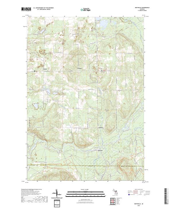 2023 Smithville2023 Print · USGSKalkaska and Missaukee Counties are documented here in the early 2020s, showcasing the rural landscape along the upper reaches of the Manistee River. Genealogists can locate family landmarks like Deibert Cem, Garfield Cem, and the old settlement of Taffeltown.
 - 2023 Map of Arlene, 2023 Print
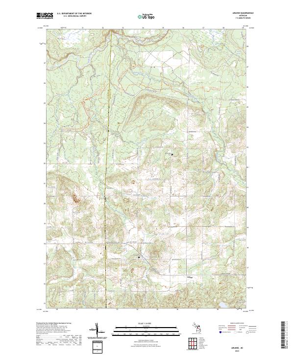 2023 Arlene2023 Print · USGSMissaukee County's rural townships are documented here during the early 2020s, showing a landscape defined by the Manistee River and long-standing farmstead grids. Genealogists and local historians can locate Bloomfield Cem, Caldwell Cem, and the settlement of Arlene.
 - 2023 Map of Fife Lake, 2023 Print
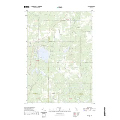 2023 Fife Lake2023 Print · USGSFife Lake and the surrounding woodlands of Grand Traverse County are shown here in the 2020s, highlighting the area's complex water systems and small-town infrastructure. Genealogists and local historians can trace family roots at Saint Aloysius Cem or explore the route of the Great Lakes Central RR.
 - 2023 Map of Morey, 2023 Print
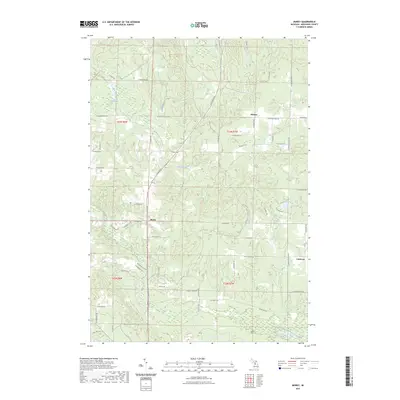 2023 Morey2023 Print · USGSMissaukee County in the early 2020s shows a landscape of quiet settlements and forested trails through the Missaukee Hills. Researchers can trace old property boundaries near Pioneer, locate the Pioneer Cem, or follow the West Branch Muskegon River.
End of results
Showing maps 1-20 of 20
Top cities near Bloomfield Township
- East Bay Township historical maps
- Cadillac historical maps
- Paradise Township historical maps
- Haring Charter Township historical maps
- Haring Township historical maps
- Whitewater Township historical maps
See more
Frequently asked questions
- What are the different types of historical maps available for Bloomfield Township?
- What is the oldest map of Bloomfield Township?
- Where can I purchase historical maps of Bloomfield Township for my home or office?
- Where can I download high-res historical maps of Bloomfield Township?
- Are there historical topographic maps available for Bloomfield Township?
- Is there historical aerial imagery available for Bloomfield Township?
- Where are historical maps of Bloomfield Township sourced from?