2000s (21st Century) Maps of Tuscola County, Michigan
Explore 28 historic maps of Tuscola County from the 2000s (21st Century). These maps offer a rare glimpse into what life looked like during the 2000s — showing old roads, neighborhoods, homes, and landmarks that have changed or disappeared over time.
Whether you're researching your family's past, planning a metal detecting trip, or studying how Tuscola County's landscape evolved across the 2000s, these high-resolution maps are a powerful tool for exploring the history of this region.
- Focus on a specific era: All maps on this page are from the 2000s, giving you a focused view of this time period.
- See what’s changed: Compare century-old streets, trails, and buildings to today's modern landscape using overlays and satellite layers.
- Research with precision: Use these maps for genealogy, historical research, land use analysis, or educational projects.
- View, download, or print: Maps are fully viewable online in high resolution, and can be downloaded or printed for your own records.
Start exploring Tuscola County's history through authentic maps from the 2000s. This is your window into the past.
Tuscola County, MI maps
(28)- 2023 Map of New Greenleaf, 2023 Print
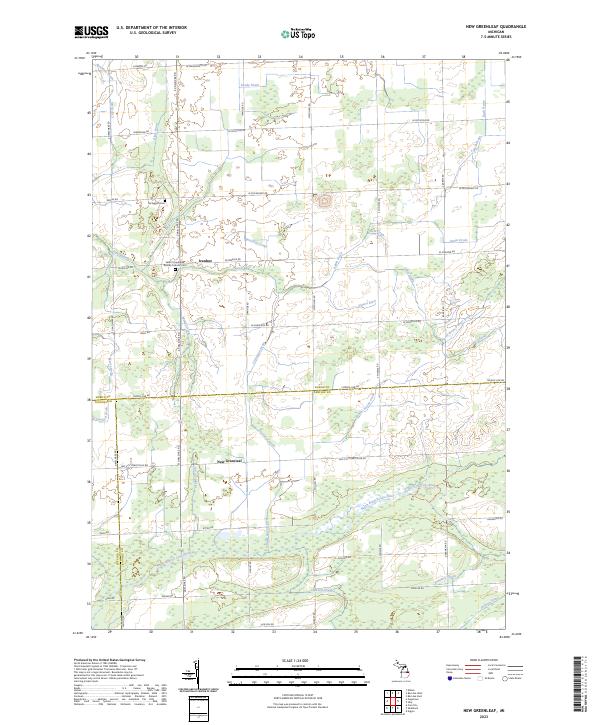 2023 New Greenleaf2023 Print · USGSCovers Tuscola County, including Ivanhoe, Greenleaf Township, and other nearby areas
 - 2023 Map of Columbiaville, 2023 Print
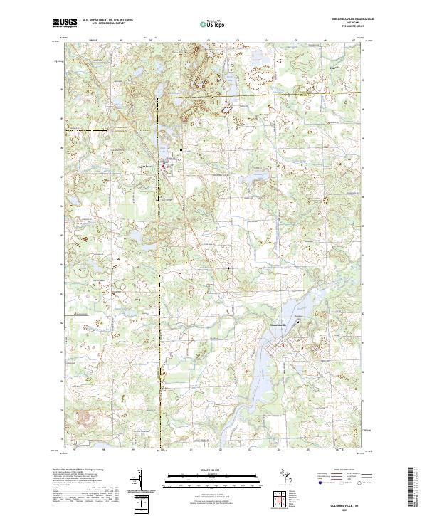 2023 Columbiaville2023 Print · USGSCovers Tuscola County, including Columbiaville, Otter Lake, and other nearby areas
 - 2023 Map of East Dayton, 2023 Print
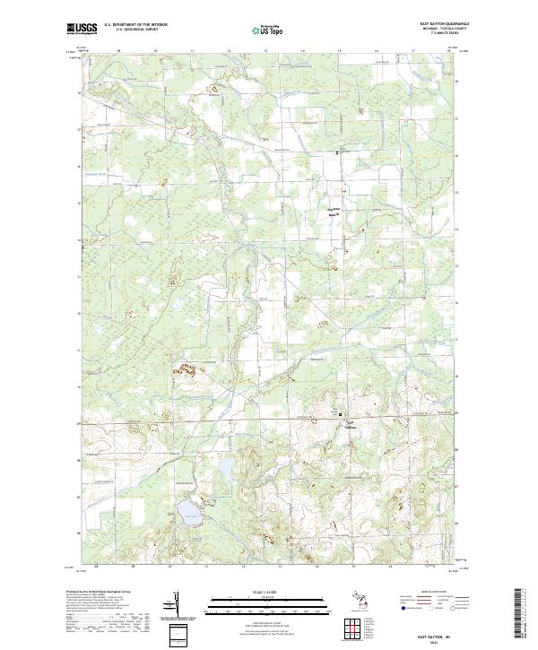 2023 East Dayton2023 Print · USGSCovers Tuscola County, including Dayton, Dayton Township, and other nearby areas
 - 2023 Map of Colling, 2023 Print
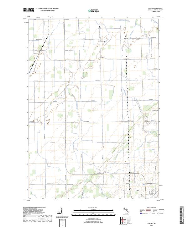 2023 Colling2023 Print · USGSCovers Tuscola County, including Caro, Columbia Township, and other nearby areas
 - 2023 Map of Frankenmuth, 2023 Print
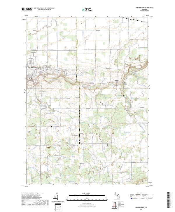 2023 Frankenmuth2023 Print · USGSCovers Tuscola County, including City of Frankenmuth, Frankenmuth, and other nearby areas
 - 2023 Map of Barnes Lake, 2023 Print
 2023 Barnes Lake2023 Print · USGSCovers Tuscola County, including Marathon Township, Mayfield Township, and other nearby areas
 - 2023 Map of Clio, 2023 Print
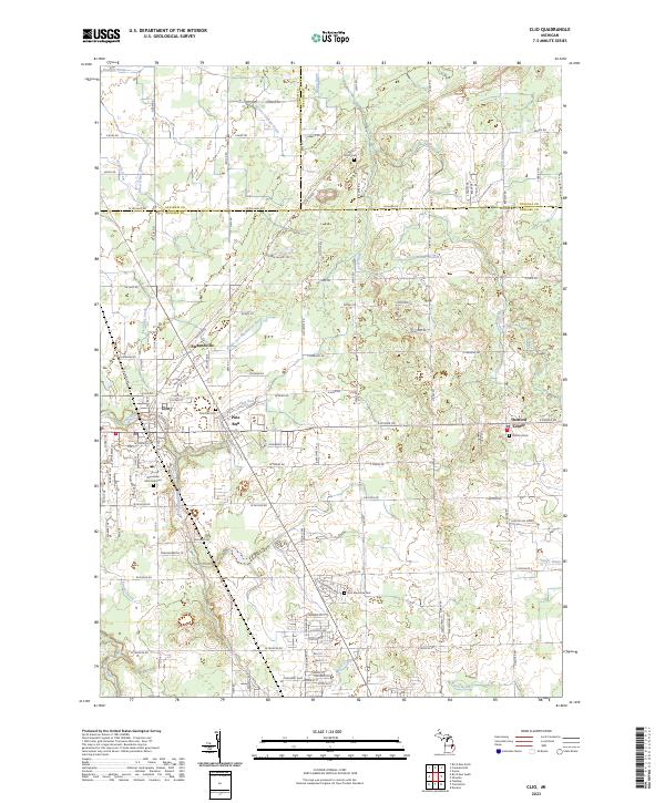 2023 Clio2023 Print · USGSCovers Tuscola County, including Mount Morris, Clio, and other nearby areas
 - 2023 Map of Sebewaing, 2023 Print
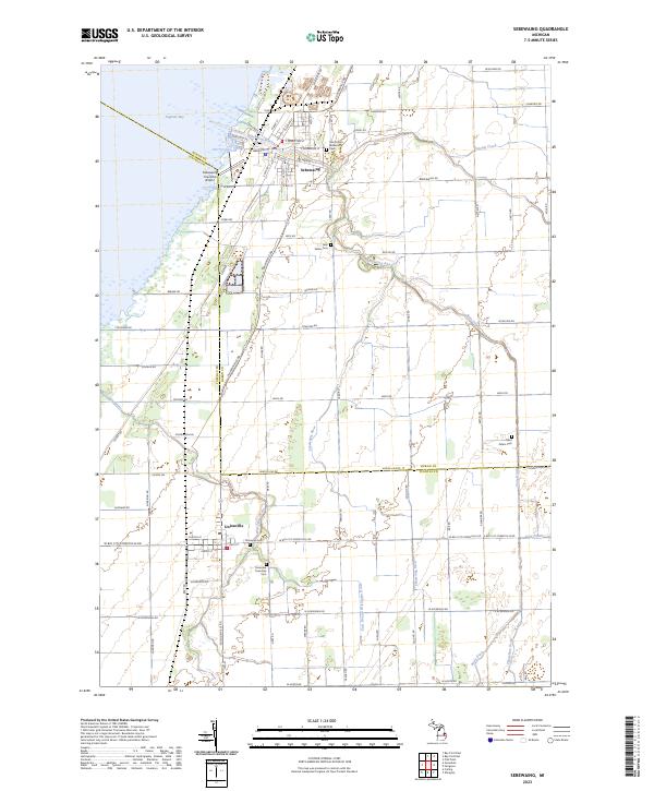 2023 Sebewaing2023 Print · USGSCovers Tuscola County, including Sebewaing, Unionville, and other nearby areas
 - 2023 Map of Vassar, 2023 Print
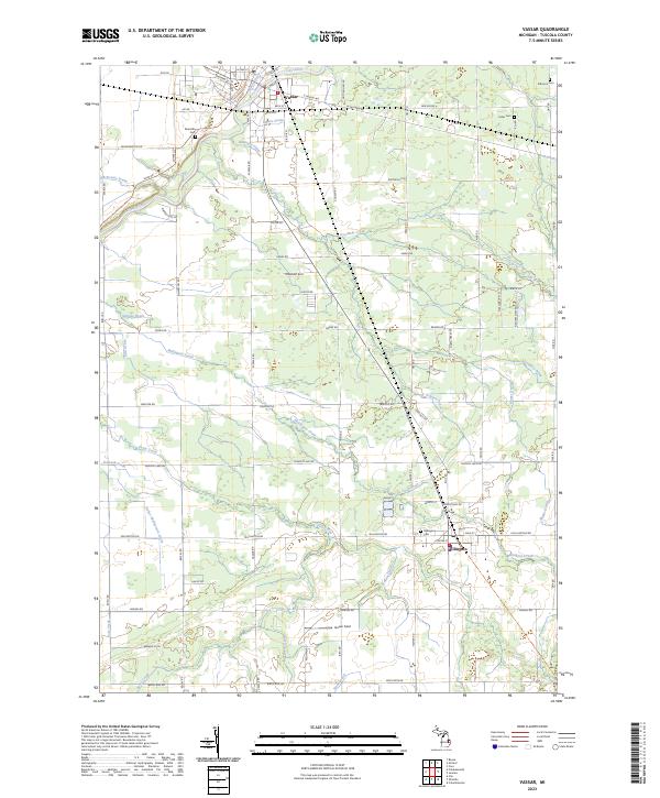 2023 Vassar2023 Print · USGSCovers Tuscola County, including Vassar, Millington, and other nearby areas
 - 2023 Map of Clifford, 2023 Print
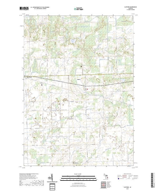 2023 Clifford2023 Print · USGSCovers Tuscola County, including Clifford, Burlington Township, and other nearby areas
 - 2023 Map of Fairgrove, 2023 Print
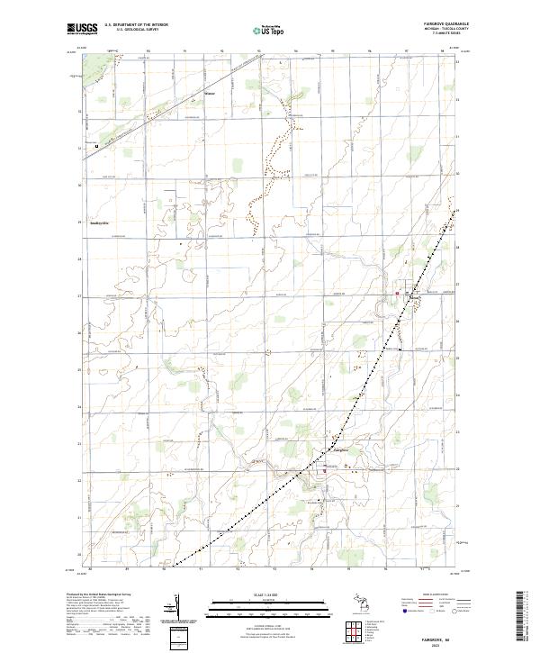 2023 Fairgrove2023 Print · USGSCovers Tuscola County, including Fairgrove, Wisner, and other nearby areas
 - 2023 Map of Mayville, 2023 Print
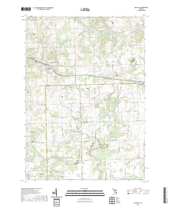 2023 Mayville2023 Print · USGSCovers Tuscola County, including Mayville, Dayton Township, and other nearby areas
 - 2023 Map of Fish Point, 2023 Print
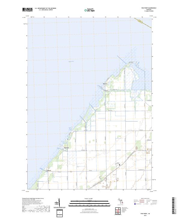 2023 Fish Point2023 Print · USGSCovers Tuscola County, including Wisner Township, Akron Township, and other nearby areas
 - 2023 Map of Quanicassee OE N, 2023 Print
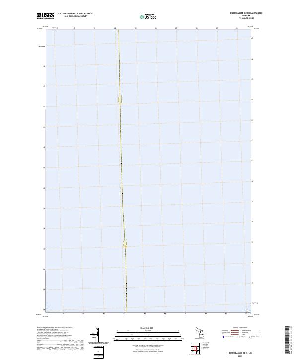 2023 Quanicassee OE N2023 Print · USGSCovers Tuscola County, including Hampton Township, Wisner Township, and other nearby areas
 - 2023 Map of Juniata, 2023 Print
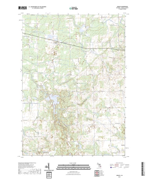 2023 Juniata2023 Print · USGSCovers Tuscola County, including Juniata, Watertown Township, and other nearby areas
 - 2023 Map of Shabbona, 2023 Print
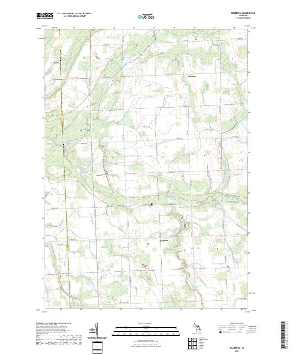 2023 Shabbona2023 Print · USGSCovers Tuscola County, including Greenleaf Township, Elkland Township, and other nearby areas
 - 2023 Map of Gagetown, 2023 Print
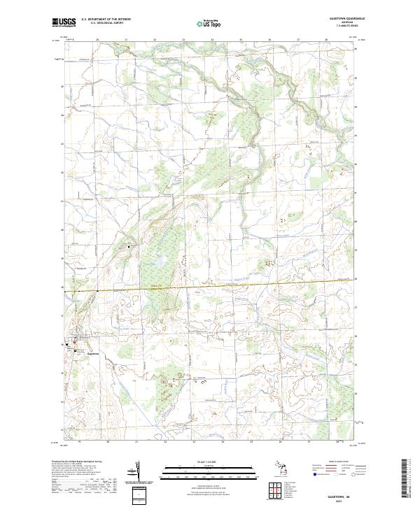 2023 Gagetown2023 Print · USGSCovers Tuscola County, including Gagetown, Elkland Township, and other nearby areas
 - 2023 Map of Caro, 2023 Print
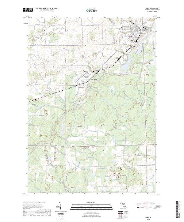 2023 Caro2023 Print · USGSCovers Tuscola County, including Caro, Fremont Township, and other nearby areas
 - 2023 Map of Kingston, 2023 Print
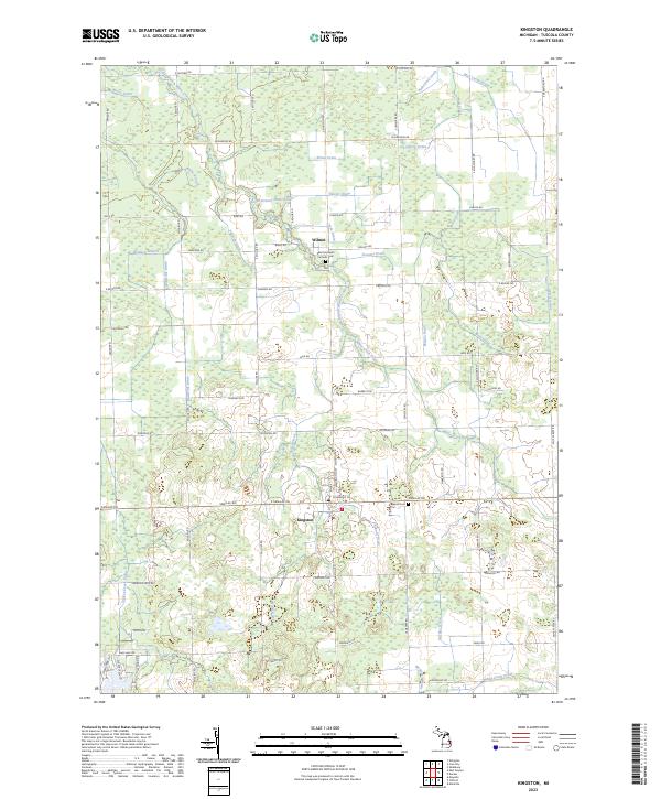 2023 Kingston2023 Print · USGSCovers Tuscola County, including Kingston, Dayton Township, and other nearby areas
 - 2023 Map of Owendale, 2023 Print
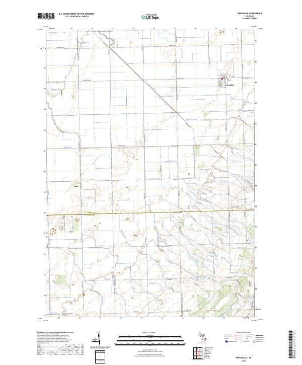 2023 Owendale2023 Print · USGSCovers Tuscola County, including Gagetown, Owendale, and other nearby areas
 - 2023 Map of Reese, 2023 Print
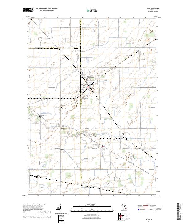 2023 Reese2023 Print · USGSCovers Tuscola County, including Reese, Denmark Township, and other nearby areas
 - 2023 Map of Otisville, 2023 Print
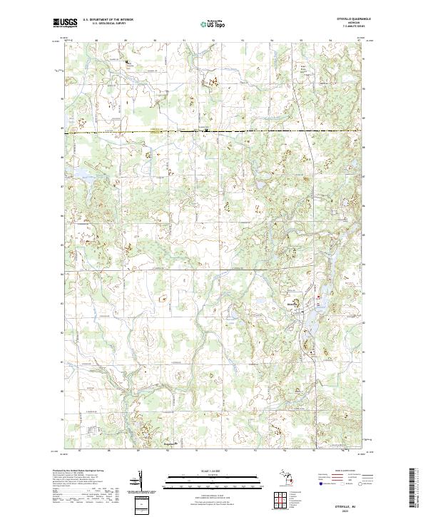 2023 Otisville2023 Print · USGSCovers Tuscola County, including Otisville, Forest Township, and other nearby areas
 - 2023 Map of Quanicassee, 2023 Print
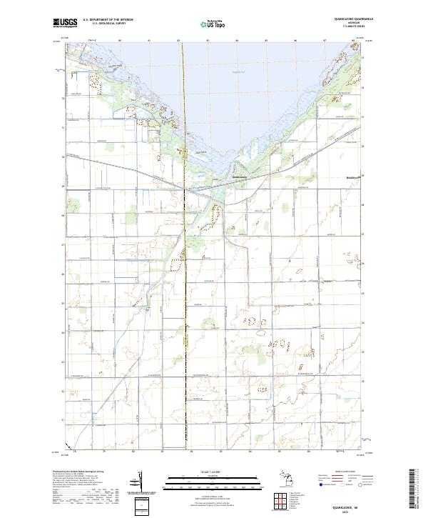 2023 Quanicassee2023 Print · USGSCovers Tuscola County, including Hampton Township, Wisner Township, and other nearby areas
 - 2023 Map of Decker, 2023 Print
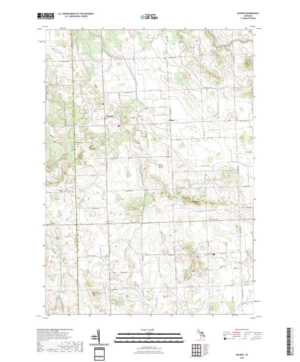 2023 Decker2023 Print · USGSCovers Tuscola County, including Marlette Township, Kingston Township, and other nearby areas
 - 2023 Map of Ellington, 2023 Print
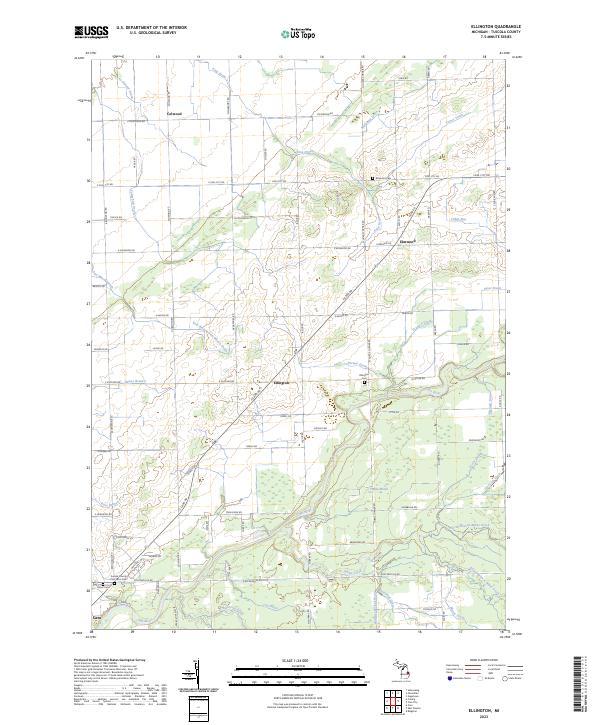 2023 Ellington2023 Print · USGSCovers Tuscola County, including Caro, Ellington, and other nearby areas
Showing maps 1-25 of 28
Top cities of Tuscola County
Frequently asked questions
- What are the different types of historical maps available for Tuscola County?
- What is the oldest map of Tuscola County?
- Where can I purchase historical maps of Tuscola County for my home or office?
- Where can I download high-res historical maps of Tuscola County?
- Are there historical topographic maps available for Tuscola County?
- Is there historical aerial imagery available for Tuscola County?
- Where are historical maps of Tuscola County sourced from?