2010s Maps of Tuscola County, Michigan
Explore 112 historic maps of Tuscola County from the 2010s. These maps offer a rare glimpse into what life looked like during the 2010s — showing old roads, neighborhoods, homes, and landmarks that have changed or disappeared over time.
Whether you're researching your family's past, planning a metal detecting trip, or studying how Tuscola County's landscape evolved across the 2010s, these high-resolution maps are a powerful tool for exploring the history of this region.
- Focus on a specific era: All maps on this page are from the 2010s, giving you a focused view of this time period.
- See what’s changed: Compare century-old streets, trails, and buildings to today's modern landscape using overlays and satellite layers.
- Research with precision: Use these maps for genealogy, historical research, land use analysis, or educational projects.
- View, download, or print: Maps are fully viewable online in high resolution, and can be downloaded or printed for your own records.
Start exploring Tuscola County's history through authentic maps from the 2010s. This is your window into the past.
Tuscola County, MI maps
(112)- 2011 Map of Fish Point, 2011 Print
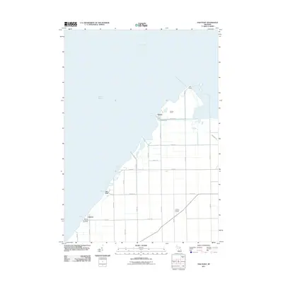 2011 Fish Point2011 Print · USGSCoastal Tuscola County meets the bay at the start of the twenty-first century, showing a landscape defined by maritime recreation and drainage engineering. Genealogists and local researchers can locate Hickory Highland Cemetery and trace the shorefront settlements of Bay Park and Oakhurst.
 - 2011 Map of Quanicassee OE N, 2011 Print
 2011 Quanicassee OE N2011 Print · USGSSaginaw Bay and the open waters of the Great Lakes are the focus of this maritime study from the early twenty-first century. Researchers can chart the aquatic boundaries of Saginaw Bay and Lake Huron as they were defined by the USGS in this era.
 - 2011 Map of Fairgrove, 2011 Print
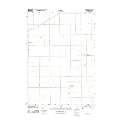 2011 Fairgrove2011 Print · USGSTuscola County at the start of the 2010s shows a landscape defined by small-town hubs and rural oil production. Researchers can trace local history through cemeteries like Wisner and Perkins, or locate post offices in Fairgrove and Akron.
 - 2011 Map of Colling, 2011 Print
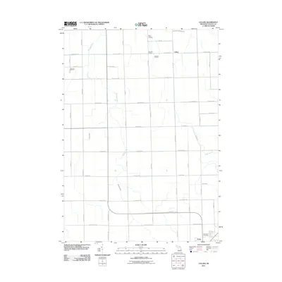 2011 Colling2011 Print · USGSTuscola County farmland is mapped here in the early twenty-first century as the city of Caro expands toward the northern plains. Local history researchers can trace rural burial sites at Demorest Cemetery or explore the drainage networks of Wiscoggin Drain and Colling.
 - 2011 Map of Vassar, 2011 Print
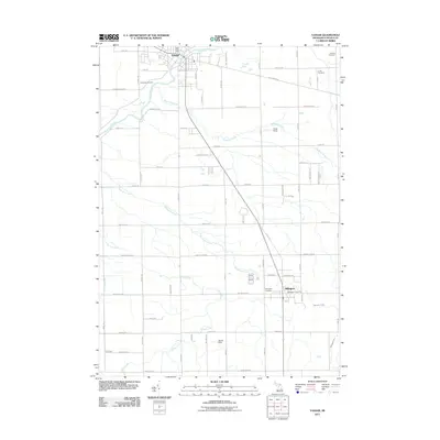 2011 Vassar2011 Print · USGSTuscola County at the start of the twenty-first century shows a well-defined agricultural and residential landscape between Vassar and Millington. Genealogists and local historians can trace several burial sites like Riverside Cemetery and Fuller Cemetery or locate the old Depot in the heart of town.
 - 2011 Map of Ellington, 2011 Print
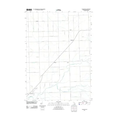 2011 Ellington2011 Print · USGSTuscola County at the start of the 2010s reveals a quiet landscape of rural crossroads and historic cemeteries. Genealogists and local historians can trace family ties at the Tuscola County Poor Farm Cemetery and explore the legacy of settlements like Ellington and Colwood.
 - 2011 Map of Juniata, 2011 Print
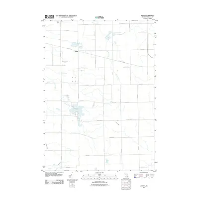 2011 Juniata2011 Print · USGSJuniata and the surrounding Tuscola County farm country are captured here in the early twenty-first century. Researchers can trace the rural infrastructure of Vassar Township through family-named landmarks like Letts Field Airport and Miller Field, or the waterfront developments around Murphy Lake.
 - 2011 Map of Kingston, 2011 Print
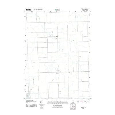 2011 Kingston2011 Print · USGSTuscola County agriculture and rural settlement patterns are on full display in this early 21st-century study of eastern Michigan. Researchers can locate family landmarks like Kingston Cemetery, the Kingston Post Office, and the nearby settlement of Wilmot.
 - 2011 Map of Gagetown, 2011 Print
 2011 Gagetown2011 Print · USGSGagetown and the surrounding rural townships are captured here in the early twenty-first century, showcasing a landscape of structured farmsteads and small communities. Genealogists can trace family plots at Saint Agatha's Cemetery or follow the paths of the Pigeon River near the tiny settlement of Rescue.
 - 2011 Map of Sebewaing, 2011 Print
 2011 Sebewaing2011 Print · USGSHuron County's shoreline and agricultural heartland come into focus in the early twenty-first century as industrial and rural life intersect. Researchers can trace family sites at Saint John's Lutheran Cemetery or locate regional landmarks like the Michigan Sugar Company.
 - 2011 Map of Shabbona, 2011 Print
 2011 Shabbona2011 Print · USGSSanilac County’s rural landscape is captured here in the early twenty-first century, showing a network of agricultural roads and river branches. Genealogists and local historians can locate the Nicol Family Cemetery, the settlement of Shabbona, and the Evergreen Cemetery.
 - 2011 Map of Decker, 2011 Print
 2011 Decker2011 Print · USGSThis rural portion of the Michigan Thumb was still dominated by its agricultural grid and creek branches in the early twenty-first century. Genealogists and local historians can trace family-named roads and sites like Moshier Cemetery, Decker, and the Innes Acres Airport.
 - 2011 Map of Clifford, 2011 Print
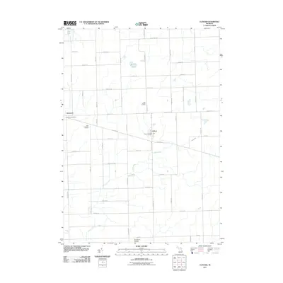 2011 Clifford2011 Print · USGSThe village of Clifford and the settlement of Silverwood are captured here in the early twenty-first century. Genealogists can locate several local burial grounds, including Saint Patricks Cemetery and West Burlington Cemetery, alongside the banks of Indian Creek.
 - 2011 Map of Caro, 2011 Print
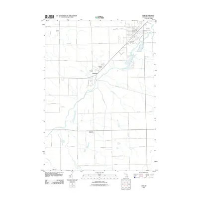 2011 Caro2011 Print · USGSCaro and the settlement of Wahjamega appear here alongside the winding Cass River in the early twenty-first century. Genealogists and local historians can locate several burial grounds, including Indianfields Cemetery and Sacred Heart Catholic Cemetery.
 - 2011 Map of Otisville, 2011 Print
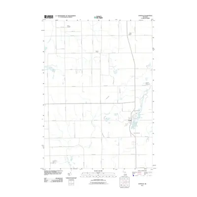 2011 Otisville2011 Print · USGSOtisville and its surrounding township are captured here at the start of the 2010s, showing a landscape defined by small lakes and rural cemeteries. Genealogists can locate Arbela Township Cemetery and Smith Hill Cemetery, or trace Butternut Creek through the countryside.
 - 2011 Map of East Dayton, 2011 Print
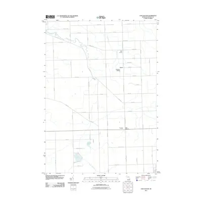 2011 East Dayton2011 Print · USGSTuscola County farmland and lakeside terrain are captured here in the early twenty-first century. Genealogists can locate family plots at North Wells Cemetery and trace the drainage patterns of Sucker Creek and Harmon Lake.
 - 2011 Map of Quanicassee, 2011 Print
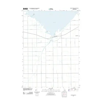 2011 Quanicassee2011 Print · USGSCoastal Tuscola County is captured here in the early twenty-first century as it meets the waters of the Saginaw Bay. Researchers can trace the drainage of the Quanicassee River and locate local landmarks such as Coryeon Point and the settlement of Bradleyville.
 - 2011 Map of Columbiaville, 2011 Print
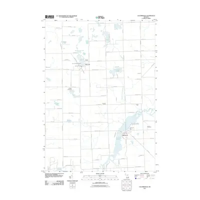 2011 Columbiaville2011 Print · USGSLapeer County's lake-filled landscape is captured here in the early twenty-first century, centered on the historic villages of Columbiaville and Otter Lake. Genealogists and local researchers can trace local landmarks like Woodlawn Cemetery, Hollenbeck Cemetery, and the banks of the Holloway Reservoir.
 - 2011 Map of Gilford, 2011 Print
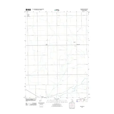 2011 Gilford2011 Print · USGSTuscola County farmland and river bottoms are captured here in the early twenty-first century. Genealogists can locate family names and burial sites at Gilford Township Cemetery or trace the drainage systems near Watrousville and the Cass River.
 - 2011 Map of Barnes Lake, 2011 Print
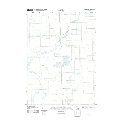 2011 Barnes Lake2011 Print · USGSLapeer County's lake-dotted interior is revealed in this early 21st-century study of the Flint River's forks. Genealogists and historians can locate West Deerfield Cemetery or trace recreational history at Sutter's Recreation Area and Barnes Lake.
 - 2011 Map of Mayville, 2011 Print
 2011 Mayville2011 Print · USGSTuscola County farm country and rural villages are captured here in the early twenty-first century. Genealogists and local researchers can locate numerous family burial grounds like Rich Cemetery and Fremont Cemetery or trace the early paths of Evergreen Creek.
 - 2011 Map of Marlette, 2011 Print
 2011 Marlette2011 Print · USGSMarlette serves as the central pulse of this Sanilac County farming district during the early twenty-first century. Researchers can locate numerous local burial sites including McLeish and Siple Cemetery, and trace the rural reach of the South Branch Cass River.
 - 2011 Map of Cass City, 2011 Print
 2011 Cass City2011 Print · USGSCass City and the surrounding township lands are captured here in the early twenty-first century, showing the area's transition into a modern residential and recreational hub. Local researchers can trace family landmarks and cemeteries like Novesta Church Cemetery or follow the waters of the Cass River and North Branch White Creek.
 - 2011 Map of Frankenmuth, 2011 Print
 2011 Frankenmuth2011 Print · USGSFrankenmuth and its rural surroundings are seen here in the early 2000s, centered on the winding Cass River and the local cemetery network. Genealogists and historians can locate family plots at Tuscola Cemetery or trace landmarks like the Frankenmuth Post Office.
 - 2011 Map of Clio, 2011 Print
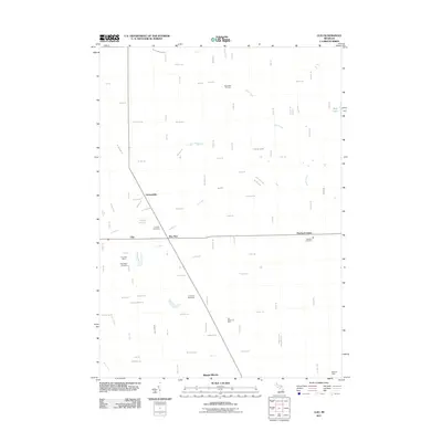 2011 Clio2011 Print · USGSThe community of Clio and the neighboring settlement of Pine Run are captured here during a period of steady residential and industrial growth. Genealogists and local historians can trace the locations of Woodlawn Cemetery, the Birch Bela Oil Field, and Auto City Speedway.
Showing maps 1-25 of 112
Top cities of Tuscola County
Frequently asked questions
- What are the different types of historical maps available for Tuscola County?
- What is the oldest map of Tuscola County?
- Where can I purchase historical maps of Tuscola County for my home or office?
- Where can I download high-res historical maps of Tuscola County?
- Are there historical topographic maps available for Tuscola County?
- Is there historical aerial imagery available for Tuscola County?
- Where are historical maps of Tuscola County sourced from?