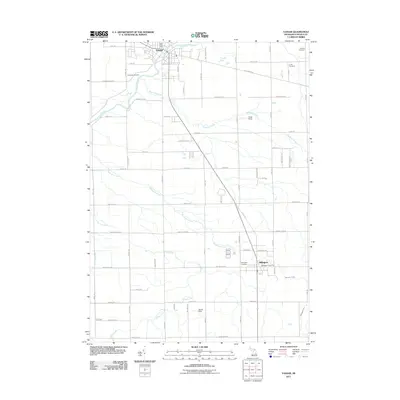
2011 Map of Vassar
USGS Topo · Published 2011About this map
The Cass River winds through the northern reach of this Tuscola County landscape, anchoring the settlement of Vassar. This agricultural corridor, documented in the early twenty-first century, is defined by a dense network of country roads such as Frankenmuth Rd and Murphy Lake Rd that connect the small hubs of Vassar and Millington. The presence of several established burial grounds, including Riverside Cemetery, Kilbourn Cemetery, and Fuller Cemetery, suggests a long-settled community with deep genealogical roots.
Find a feature on this map
66 named features on this map. Tap any name to fly to it.
Don’t see what you’re looking for? This feature index may not catch every label — zoom into the map to look around manually.
Map Details
Editions of this 2011 Vassar Map
This is the sole edition of this map. No revisions or reprints were ever made.
Other maps of this area

1920 · Flint
USGS Topo · 1:62,500

1922 · Flint
USGS Topo · 1:62,500

1943 · Flint
USGS Topo · 1:62,500

1954 · Flint
USGS Topo · 1:250,000

1958 · Flint
USGS Topo · 1:250,000

1963 · Reese
USGS Topo · 1:24,000

1963 · Columbiaville
USGS Topo · 1:24,000

1963 · Gilford
USGS Topo · 1:24,000

1963 · Caro
USGS Topo · 1:24,000

1963 · Frankenmuth
USGS Topo · 1:24,000