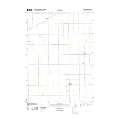
2011 Map of Fairgrove
USGS Topo · Published 2011About this map
Agricultural fields and oil production define this portion of Tuscola County, where the regular grid of section roads is punctuated by small villages and local landmarks. Fairgrove and Akron serve as the primary hubs, each maintaining its own post office to support the surrounding rural community. The landscape is a study in 21st-century Michigan farming, though the presence of the Akron Oil Field and Wisner Oil Field indicates the subsurface industrial activity that exists alongside the harvest.
Find a feature on this map
47 named features on this map. Tap any name to fly to it.
Don’t see what you’re looking for? This feature index may not catch every label — zoom into the map to look around manually.
Map Details
Editions of this 2011 Fairgrove Map
This is the sole edition of this map. No revisions or reprints were ever made.
Other maps of this area

1954 · Flint
USGS Topo · 1:250,000

1958 · Flint
USGS Topo · 1:250,000

1963 · Quanicassee
USGS Topo · 1:24,000

1963 · Fish Point
USGS Topo · 1:24,000

1963 · Fairgrove
USGS Topo · 1:24,000

1963 · Reese
USGS Topo · 1:24,000

1963 · Gilford
USGS Topo · 1:24,000

1963 · Caro
USGS Topo · 1:24,000

1963 · Colling
USGS Topo · 1:24,000

1963 · Sebewaing
USGS Topo · 1:24,000