Old Maps of Breezy Point, Minnesota for Genealogy
Trace your family roots with 23 historic maps of Breezy Point. These high-res maps reveal old neighborhoods, homesites, landmarks, and streets — helping you uncover where your ancestors lived and how the area evolved over time.
- Explore historic neighborhoods: Identify where your relatives may have lived in the 1800s or 1900s.
- Compare maps over time: Trace the changes in streets, buildings, and landmarks for multi-generational research.
- Perfect for genealogy & ancestry research: Used by family historians and researchers to map out lineage and migration.
These maps are an incredible resource for exploring your personal connection to Breezy Point's past.
Breezy Point, MN maps
(23)- 1953 Map of Brainerd, 1966 Print
 1953 Brainerd1966 Print · USGSCentral Minnesota's lake country and iron ranges are detailed in the mid-fifties, showing the intersection of industry and wilderness. Researchers can locate specific local landmarks like the Crow Wing County Courthouse or trace the early paths of the Soo Line Railroad and the Cuyuna Range Iron Mines.3 unique versions available
 - 1957 Map of Brainerd
 1957 Brainerd1957 Print · USGSNorth-central Minnesota's lake-rich landscape is captured in the mid-1950s as a crossroads of rail, river, and forest. Genealogists and historians can trace the paths of the Great Northern and Soo Line railroads through hubs like Brainerd, Wadena, and Detroit Lakes.
 - 1958 Map of Brainerd
 1958 Brainerd1958 Print · USGSCentral Minnesota in the late fifties is a landscape of dense lake chains, rail hubs, and sprawling state forests. Genealogists and local historians can trace old property alignments near the Mississippi River or locate family sites in Brainerd, Little Falls, and Detroit Lakes.
 - 1959 Map of Pelican Lake, 1960 Print
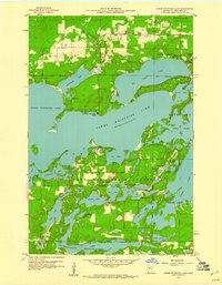
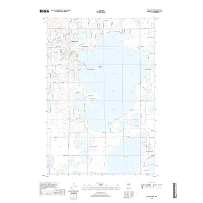
 1959 Pelican Lake1960 Print · USGSThe Crow Wing County lake country is captured here during the late fifties, showcasing the expansive timberlands of the Crow Wing State Forest. Genealogists and local historians can locate the Ossipee Sch, the local Town Hall, and the winding Pelican Lakes Village Bdy.5 unique versions available
 - 1959 Map of Nisswa, 1960 Print
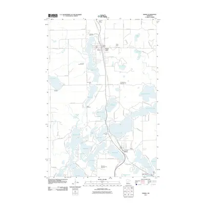
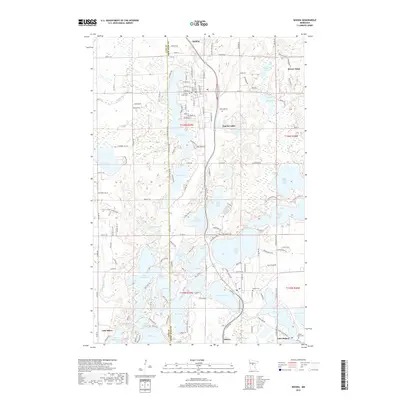
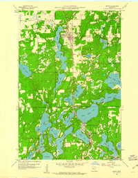 1959 Nisswa1960 Print · USGSNisswa and the Brainerd Lakes region are captured in the late fifties, showcasing a landscape of dense state forests and interconnected waterways. Genealogists and local historians can locate the Portview Sch, the Nisswa Cem, and the historic Northern Pacific rail line.4 unique versions available
 - 1959 Map of Lower Whitefish Lake, 1960 Print
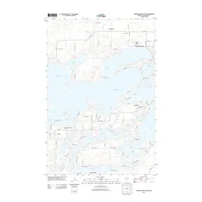
 1959 Lower Whitefish Lake1960 Print · USGSCrow Wing County's lake country is captured here in the late fifties, showing the early growth of lakeside communities before modern development. Genealogists and local historians can trace family roots around Swanburg, Cross Lake Village, and the Swanburg Cem.3 unique versions available
 - 1965 Map of Brainerd
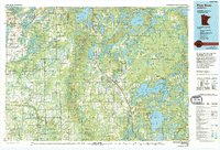
 1965 Brainerd1965 Print · USGSNorth-central Minnesota in the mid-fifties presents a complex landscape of sprawling lake systems and established rail corridors. Genealogists and historians can trace the growth of timber towns along the Northern Pacific RR and explore early borders of the White Earth Indian Reservation or Tamarac National Wildlife Refuge.
 - 1976 Map of Pine River, 1994 Print
 1976 Pine River1994 Print · USGSNorthern Minnesota's lake country is captured here during the mid-seventies, showing the expansion of recreation around Pequot Lakes and Nisswa. Researchers can trace the Burlington Northern rail line and locate forest landmarks within the Paul Bunyan State Forest and Chippewa National Forest.
 - 2010 Map of Pelican Lake, 2010 Print
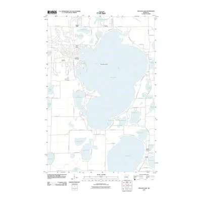 2010 Pelican Lake2010 Print · USGSCovers Breezy Point, including Crow Wing County, United States, and other nearby areas
 - 2010 Map of Lower Whitefish Lake, 2010 Print
 2010 Lower Whitefish Lake2010 Print · USGSCovers Breezy Point, including Fifty Lakes, Manhattan Beach, and other nearby areas
 - 2011 Map of Nisswa, 2011 Print
 2011 Nisswa2011 Print · USGSCovers Breezy Point, including Nisswa, Pequot Lakes, and other nearby areas
 - 2013 Map of Lower Whitefish Lake, 2013 Print
 2013 Lower Whitefish Lake2013 Print · USGSCovers Breezy Point, including Fifty Lakes, Manhattan Beach, and other nearby areas
 - 2013 Map of Pelican Lake, 2013 Print
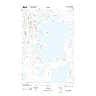 2013 Pelican Lake2013 Print · USGSCovers Breezy Point, including Crow Wing County, United States, and other nearby areas
 - 2013 Map of Nisswa, 2013 Print
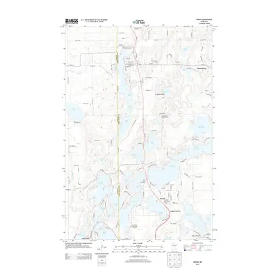 2013 Nisswa2013 Print · USGSCovers Breezy Point, including Nisswa, Pequot Lakes, and other nearby areas
 - 2016 Map of Lower Whitefish Lake, 2016 Print
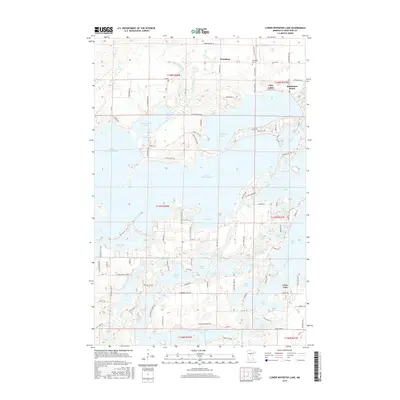 2016 Lower Whitefish Lake2016 Print · USGSCovers Breezy Point, including Fifty Lakes, Manhattan Beach, and other nearby areas
 - 2016 Map of Nisswa, 2016 Print
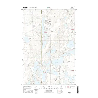 2016 Nisswa2016 Print · USGSCovers Breezy Point, including Nisswa, Pequot Lakes, and other nearby areas
 - 2016 Map of Pelican Lake, 2016 Print
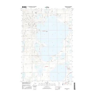 2016 Pelican Lake2016 Print · USGSCovers Breezy Point, including Crow Wing County, United States, and other nearby areas
 - 2019 Map of Lower Whitefish Lake, 2019 Print
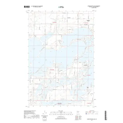 2019 Lower Whitefish Lake2019 Print · USGSCovers Breezy Point, including Fifty Lakes, Manhattan Beach, and other nearby areas
 - 2019 Map of Pelican Lake, 2019 Print
 2019 Pelican Lake2019 Print · USGSCovers Breezy Point, including Crow Wing County, United States, and other nearby areas
 - 2019 Map of Nisswa, 2019 Print
 2019 Nisswa2019 Print · USGSCovers Breezy Point, including Nisswa, Pequot Lakes, and other nearby areas
 - 2022 Map of Lower Whitefish Lake, 2022 Print
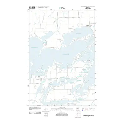
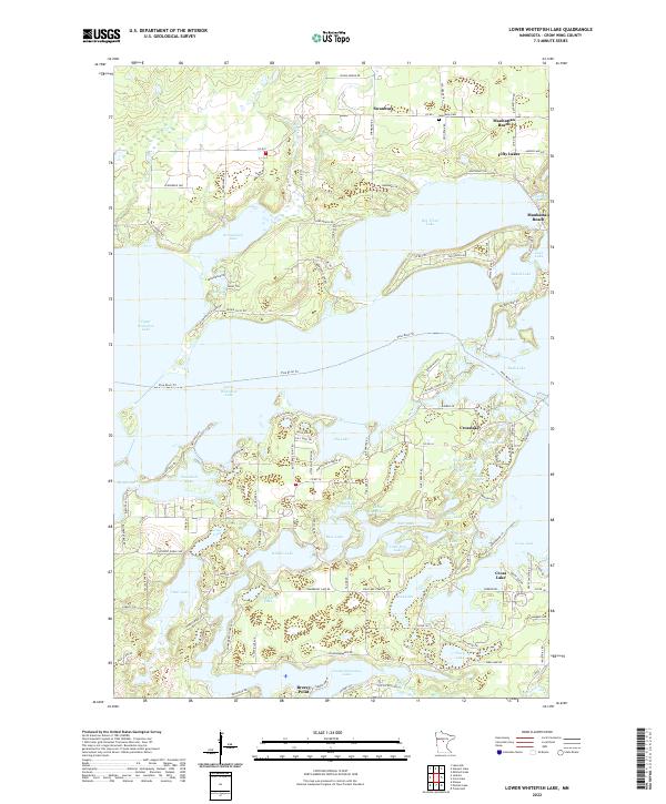 2022 Lower Whitefish Lake2022 Print · USGSThe interconnected waters of the Brainerd Lakes area are shown here in the 2020s, revealing a landscape defined by seasonal and permanent lakeside communities. You can trace the development around Crosslake and Breezy Point or locate the Swanburg Cem and Pine River Trl.
 - 2022 Map of Nisswa, 2022 Print
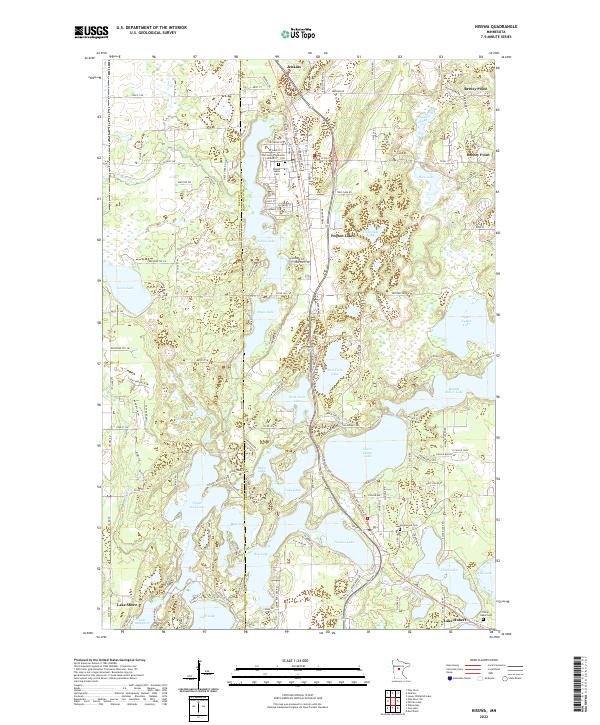 2022 Nisswa2022 Print · USGSCrow Wing County's lake country is captured here in the early 2020s, showing the dense settlement patterns around the Cullen and Gull Lake chains. Researchers can trace local genealogy at Greenwood Cem or locate community landmarks like Our Saviors Lutheran and Pequot Lakes Cem.
 - 2022 Map of Pelican Lake, 2022 Print
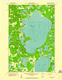
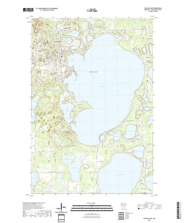 2022 Pelican Lake2022 Print · USGSThe lakeside community of Breezy Point and its namesake Pelican Lake define this central Minnesota landscape in the early 2020s. Researchers can trace the modern development of local shorelines and find landmarks like Breezy Point Airport and Gooseberry Island.
End of results
Showing maps 1-23 of 23
Top cities near Breezy Point
- Brainerd historical maps
- Baxter historical maps
- Nisswa historical maps
- Pequot Lakes historical maps
- Lake Shore historical maps
- East Gull Lake historical maps
See more
Frequently asked questions
- What are the different types of historical maps available for Breezy Point?
- What is the oldest map of Breezy Point?
- Where can I purchase historical maps of Breezy Point for my home or office?
- Where can I download high-res historical maps of Breezy Point?
- Are there historical topographic maps available for Breezy Point?
- Is there historical aerial imagery available for Breezy Point?
- Where are historical maps of Breezy Point sourced from?