Old Maps of Sciota Township, Minnesota for Metal Detecting
Plan your next treasure hunt with 17 historic maps of Sciota Township. Find old homesites, ghost towns, trails, and gathering spots that may be lost to time — perfect for identifying promising metal detecting locations.
- Locate forgotten sites: Uncover places like long-lost settlements, abandoned rail lines, or gathering spots.
- Plan better hunts: Use map overlays combined with LiDAR or satellite views to narrow in on historically rich areas.
- Made for detectorists: Thousands of hobbyists use these maps to discover relics, coins, and hidden history.
Use these historic maps to boost your research and find new opportunities beneath the surface of Sciota Township.
Sciota Township, MN maps
(17)- 1953 Map of Saint Paul, 1964 Print
 1953 Saint Paul1964 Print · USGSThe Twin Cities and the Mississippi River valley are captured here at a mid-century turning point. Trace the early growth of Minneapolis and Saint Paul alongside landmarks like Lake Minnetonka and the St Croix River.4 unique versions available
 - 1957 Map of Farmington, 1958 Print
 1957 Farmington1958 Print · USGSDakota County in the late fifties shows a landscape of busy rail junctions and transitioning rural schools. You can trace family roots through sites like Christiania Church or locate vanished landmarks like Southport Landing Field and School No 55.2 unique versions available
 - 1959 Map of Saint Paul
 1959 Saint Paul1959 Print · USGSThe Twin Cities and southeastern Minnesota appear here in the late fifties, showing the peak of the rail era and post-war suburban growth. Genealogists can trace family footprints near Lake Minnetonka, the Univ Of Minn Rosemount Research Center, or the growing neighborhoods of Richfield.2 unique versions available
 - 1960 Map of Dennison, 1961 Print
 1960 Dennison1961 Print · USGSSoutheast Minnesota's agricultural heartland is documented here at the start of the 1960s. Family historians and researchers can trace the rail-side growth of Dennison and Stanton, locate the Prairie Creek Cem, and find landmarks like Carleton Airport.
 - 1974 Map of Randolph, 1976 Print
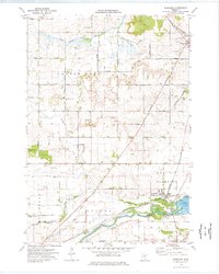 1974 Randolph1976 Print · USGSDakota and Goodhue Counties come alive in this mid-seventies survey, featuring the agricultural heartland during a period of steady rural development. Genealogists can trace family footprints through numerous local sites like Redrose Cem, Castle Rock, and the rail junction at Randolph.
 - 1985 Map of Saint Paul
 1985 Saint Paul1985 Print · USGSThe Twin Cities metropolitan area and its southern suburbs are captured here in the mid-eighties as the urban landscape expanded toward the Minnesota River. Researchers can trace the layout of the Fort Snelling Military Reservation, find local landmarks like St Benedict Church, and study the rail routes of the Soo Line.2 unique versions available
 - 1985 Map of Faribault, 1986 Print
 1985 Faribault1986 Print · USGSThe Minnesota River valley and the glacial lake country of Rice and Le Sueur counties are shown here in the mid-1980s. Researchers can trace the academic grounds of St Olaf College or find old crossroads like Trondhjem and Little Chicago.2 unique versions available
 - 2010 Map of Randolph, 2010 Print
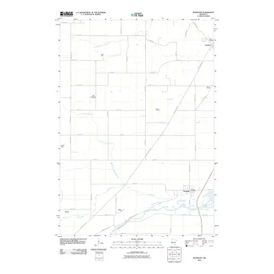 2010 Randolph2010 Print · USGSDakota County at the start of the 2010s shows a landscape of steady agricultural roots and small-town life. Researchers can trace family history through numerous rural burial grounds like McNutt Cemetery and Kibbe Cemetery near the Cannon River.
 - 2010 Map of Dennison, 2010 Print
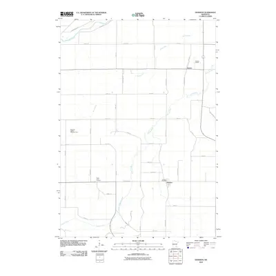 2010 Dennison2010 Print · USGSSoutheastern Minnesota farmland near the turn of the decade reveals a quiet landscape of rural post offices and country graveyards. Researchers can locate the Prairie Creek Cemetery, trace the local reach of Stanton Airfield, or follow the banks of the Cannon River.
 - 2013 Map of Dennison, 2013 Print
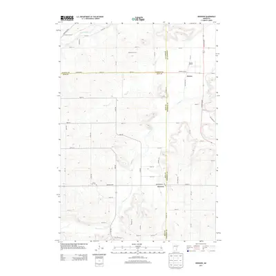 2013 Dennison2013 Print · USGSThe rural borderlands of Dakota, Rice, and Goodhue Counties are captured here in the early 2010s. Researchers can locate family landmarks like Prairie Creek Cem, the Stanton Airfield, and the local White Barn Orchard near Stanton.
 - 2013 Map of Randolph, 2013 Print
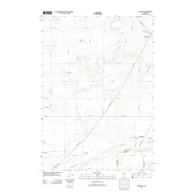 2013 Randolph2013 Print · USGSSouthern Dakota County appears as a rich agricultural grid in the early 2010s, centered on the communities of Hampton and Randolph. Genealogists can trace family landmarks through numerous sites like Castle Rock Valley Cem and Kibbe Cem.
 - 2016 Map of Randolph, 2016 Print
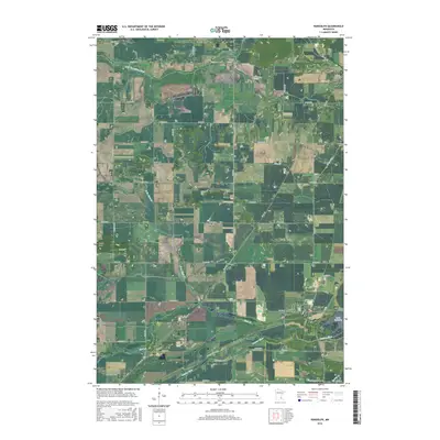 2016 Randolph2016 Print · USGSSouthern Minnesota farmland meets the winding Cannon River in this 2010s survey of the Dakota and Goodhue county borderlands. Local history researchers can trace family plots at Saint Mathias Cem and Castle Rock Valley Cem or locate the village of Randolph near Lake Byllesby.
 - 2016 Map of Dennison, 2016 Print
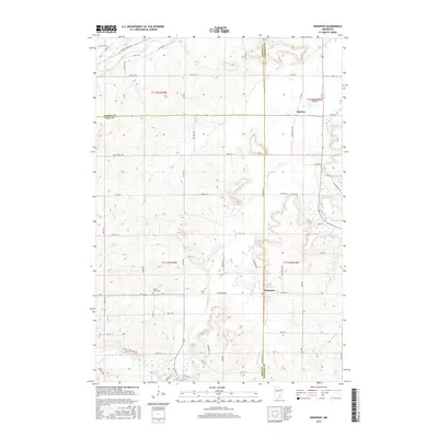 2016 Dennison2016 Print · USGSThe rural borderlands of Rice, Dakota, and Goodhue Counties are captured here during a period of modern agricultural continuity. Genealogists and local historians can trace family roots near Stanton, Dennison, and the Prairie Creek Cem, or locate the Stanton Airfield.
 - 2019 Map of Dennison, 2019 Print
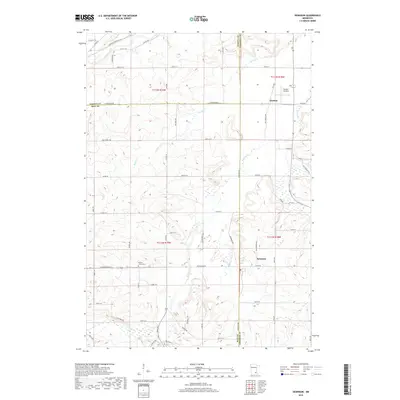 2019 Dennison2019 Print · USGSSoutheast of the Twin Cities during the late 2010s, this area shows the enduring agricultural and aviation patterns of the Goodhue and Rice county border. You can trace family plots at Prairie Creek Cem or locate the historic Stanton Airfield and the riverside tracks of Dennison.
 - 2019 Map of Randolph, 2019 Print
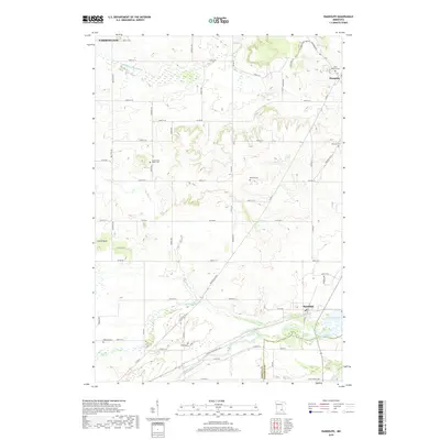 2019 Randolph2019 Print · USGSDakota County's agricultural heartland and river valleys are captured here in the late 2010s. Genealogists can locate several historic burial sites like Saint Mathias Cemetery and McNutt Cemetery near Randolph and Lake Byllesby.
 - 2022 Map of Dennison, 2022 Print
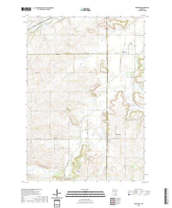 2022 Dennison2022 Print · USGSNear the intersection of Rice, Goodhue, and Dakota counties, this recent survey documents a region defined by its river valleys and aviation history. Researchers can locate the Prairie Creek Cem or trace the pathways of Sciota Trl and Cannon River Trl.
 - 2022 Map of Randolph, 2022 Print
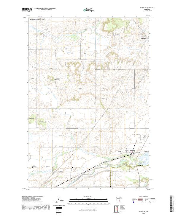 2022 Randolph2022 Print · USGSDakota County south of the Twin Cities is documented here in the early 2020s, showing a landscape defined by the Cannon River and its many tributaries. Genealogists can locate numerous local burial sites like Saint Mathias Cemetery and Kibbe Cemetery near the crossroads of Randolph and Hampton.
End of results
Showing maps 1-17 of 17
Top cities near Sciota Township
- Burnsville historical maps
- Lakeville historical maps
- Apple Valley historical maps
- Faribault historical maps
- Hastings historical maps
- Rosemount historical maps
See more
Frequently asked questions
- What are the different types of historical maps available for Sciota Township?
- What is the oldest map of Sciota Township?
- Where can I purchase historical maps of Sciota Township for my home or office?
- Where can I download high-res historical maps of Sciota Township?
- Are there historical topographic maps available for Sciota Township?
- Is there historical aerial imagery available for Sciota Township?
- Where are historical maps of Sciota Township sourced from?