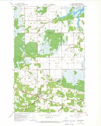
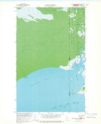
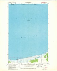
1900s (20th Century) Maps of Lake of the Woods County, Minnesota
Explore 71 historic maps of Lake of the Woods County from the 1900s (20th Century). These maps offer a rare glimpse into what life looked like during the 1900s — showing old roads, neighborhoods, homes, and landmarks that have changed or disappeared over time.
Whether you're researching your family's past, planning a metal detecting trip, or studying how Lake of the Woods County's landscape evolved across the 1900s, these high-resolution maps are a powerful tool for exploring the history of this region.
- Focus on a specific era: All maps on this page are from the 1900s, giving you a focused view of this time period.
- See what’s changed: Compare century-old streets, trails, and buildings to today's modern landscape using overlays and satellite layers.
- Research with precision: Use these maps for genealogy, historical research, land use analysis, or educational projects.
- View, download, or print: Maps are fully viewable online in high resolution, and can be downloaded or printed for your own records.
Start exploring Lake of the Woods County's history through authentic maps from the 1900s. This is your window into the past.
Lake of the Woods County, MN maps
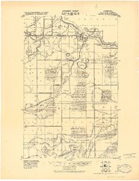
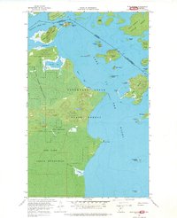
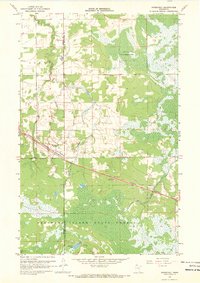
(71)- 1918 Map of Buffalo Bay
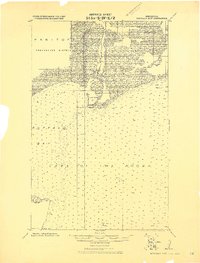 1918 Buffalo Bay1918 Print · USGSCovers Lake of the Woods County, including Unorganized Division No. 1, United States, and other nearby areas2 unique versions available
 - 1918 Map of Winterroad
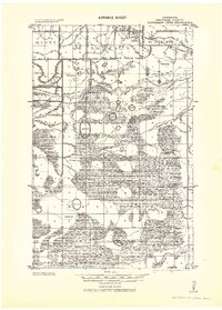
 1918 Winterroad1918 Print · USGSCovers Lake of the Woods County, including Trapper Pete's, Beltrami County, and other nearby areas2 unique versions available
 - 1918 Map of Roosevelt
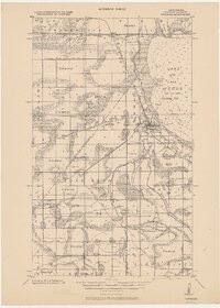
 1918 Roosevelt1918 Print · USGSCovers Lake of the Woods County, including Roosevelt, Arnesén, and other nearby areas
 - 1918 Map of F
 1918 F1918 Print · USGSCovers Lake of the Woods County, including Beltrami County, United States, and other nearby areas
 - 1918 Map of Oak Island
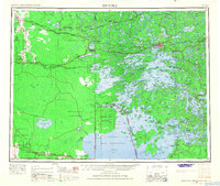
 1918 Oak Island1918 Print · USGSCovers Lake of the Woods County, including Lake of the Woods Township, Unorganized Kenora District, and other nearby areas
 - 1918 Map of Williams
 1918 Williams1918 Print · USGSCovers Lake of the Woods County, including Williams, Long Point, and other nearby areas
 - 1918 Map of Warroad
 1918 Warroad1918 Print · USGSCovers Lake of the Woods County, including Warroad, Longworth, and other nearby areas
 - 1919 Map of Peppermint Creek
 1919 Peppermint Creek1919 Print · USGSCovers Lake of the Woods County, including Graceton, Faunce, and other nearby areas
 - 1919 Map of G
 1919 G1919 Print · USGSCovers Lake of the Woods County, including Oaks Corner, Beltrami County, and other nearby areas
 - 1919 Map of Canada
 1919 Canada1919 Print · USGSCovers Lake of the Woods County, including Dawson Township, Lake of the Woods Township, and other nearby areas
 - 1919 Map of Knutson
 1919 Knutson1919 Print · USGSCovers Lake of the Woods County, including Beltrami County, United States, and other nearby areas
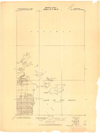
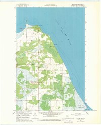
 - 1921 Map of Baudette
 1921 Baudette1921 Print · USGSCovers Lake of the Woods County, including Baudette, Rainy River, and other nearby areas2 unique versions available
 - 1943 Map of Peppermint Creek
 1943 Peppermint Creek1943 Print · USGSCovers Lake of the Woods County, including Graceton, Faunce, and other nearby areas
 - 1943 Map of Roosevelt
 1943 Roosevelt1943 Print · USGSCovers Lake of the Woods County, including Roosevelt, Arnesén, and other nearby areas
 - 1943 Map of Warroad
 1943 Warroad1943 Print · USGSCovers Lake of the Woods County, including Warroad, Longworth, and other nearby areas
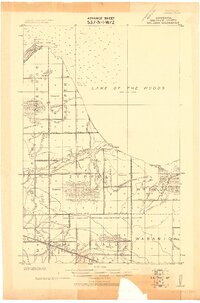
 - 1954 Map of Roseau, 1969 Print
 1954 Roseau1969 Print · USGSCovers Lake of the Woods County, including Roseau, Warroad, and other nearby areas2 unique versions available
 - 1957 Map of Roseau
 1957 Roseau1957 Print · USGSCovers Lake of the Woods County, including Roseau, Warroad, and other nearby areas
 - 1958 Map of Roseau
 1958 Roseau1958 Print · USGSCovers Lake of the Woods County, including Roseau, Warroad, and other nearby areas
 - 1963 Map of Kenora, 1968 Print
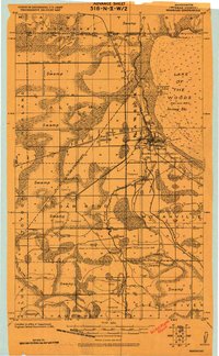
 1963 Kenora1968 Print · USGSCovers Lake of the Woods County, including Kenora, Sioux Narrows-Nestor Falls Township, and other nearby areas2 unique versions available
 - 1967 Map of Flag Island, 1969 Print
 1967 Flag Island1969 Print · USGSCovers Lake of the Woods County, including Unorganized Kenora District, Penasse, and other nearby areas
 - 1967 Map of Williams, 1969 Print
 1967 Williams1969 Print · USGSCovers Lake of the Woods County, including Williams, United States, and other nearby areas2 unique versions available
 - 1967 Map of Buffalo Bay NW, 1969 Print
 1967 Buffalo Bay NW1969 Print · USGSCovers Lake of the Woods County, including Unorganized Division No. 1, United States, and other nearby areas
 - 1967 Map of Roosevelt NW, 1969 Print
 1967 Roosevelt NW1969 Print · USGSCovers Lake of the Woods County, including Roseau County, Unorganized Division No. 1, and other nearby areas
 - 1967 Map of Roosevelt, 1969 Print
 1967 Roosevelt1969 Print · USGSCovers Lake of the Woods County, including Roosevelt, Roseau County, and other nearby areas2 unique versions available
 - 1967 Map of Williams NW, 1969 Print
 1967 Williams NW1969 Print · USGSCovers Lake of the Woods County, including Long Point, Birch Beach, and other nearby areas
Showing maps 1-25 of 71
Top cities of Lake of the Woods County
Frequently asked questions
- What are the different types of historical maps available for Lake of the Woods County?
- What is the oldest map of Lake of the Woods County?
- Where can I purchase historical maps of Lake of the Woods County for my home or office?
- Where can I download high-res historical maps of Lake of the Woods County?
- Are there historical topographic maps available for Lake of the Woods County?
- Is there historical aerial imagery available for Lake of the Woods County?
- Where are historical maps of Lake of the Woods County sourced from?