2000s (21st Century) Maps of Lake of the Woods County, Minnesota
Explore 50 historic maps of Lake of the Woods County from the 2000s (21st Century). These maps offer a rare glimpse into what life looked like during the 2000s — showing old roads, neighborhoods, homes, and landmarks that have changed or disappeared over time.
Whether you're researching your family's past, planning a metal detecting trip, or studying how Lake of the Woods County's landscape evolved across the 2000s, these high-resolution maps are a powerful tool for exploring the history of this region.
- Focus on a specific era: All maps on this page are from the 2000s, giving you a focused view of this time period.
- See what’s changed: Compare century-old streets, trails, and buildings to today's modern landscape using overlays and satellite layers.
- Research with precision: Use these maps for genealogy, historical research, land use analysis, or educational projects.
- View, download, or print: Maps are fully viewable online in high resolution, and can be downloaded or printed for your own records.
Start exploring Lake of the Woods County's history through authentic maps from the 2000s. This is your window into the past.
Lake of the Woods County, MN maps
(50)- 2022 Map of Buffalo Bay NE, 2022 Print
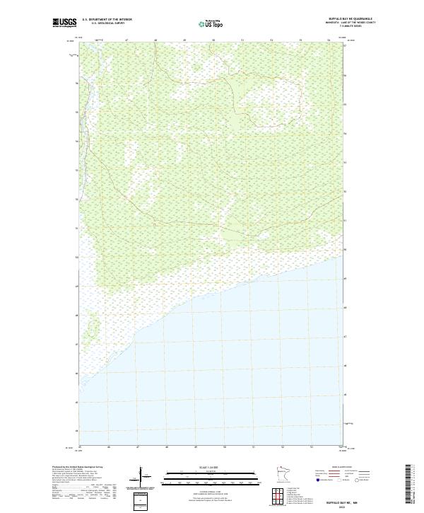 2022 Buffalo Bay NE2022 Print · USGSCovers Lake of the Woods County, including United States, Minnesota, and other nearby areas
 - 2022 Map of Angle Inlet, 2022 Print
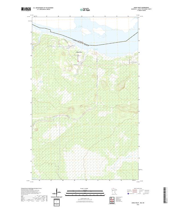 2022 Angle Inlet2022 Print · USGSCovers Lake of the Woods County, including Angle Inlet, Unorganized Kenora District, and other nearby areas
 - 2022 Map of Flag Island, 2022 Print
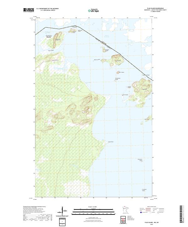 2022 Flag Island2022 Print · USGSCovers Lake of the Woods County, including Unorganized Kenora District, Penasse, and other nearby areas
 - 2022 Map of Angle Inlet SW, 2022 Print
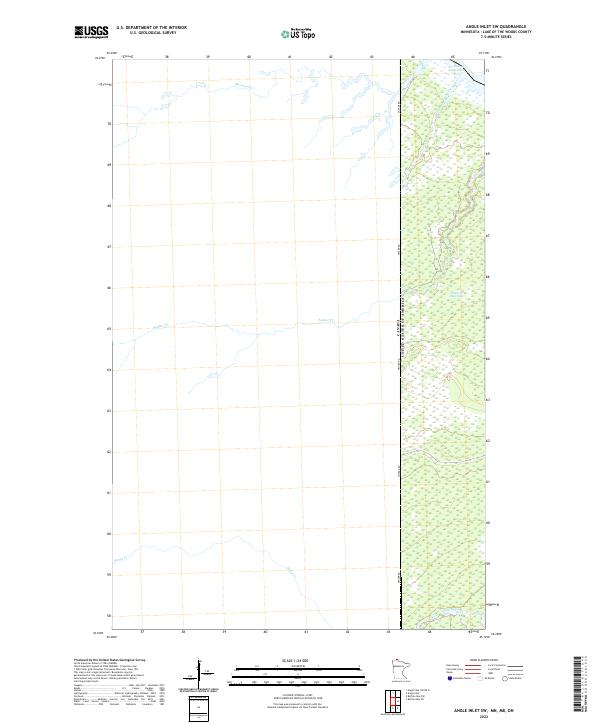 2022 Angle Inlet SW2022 Print · USGSCovers Lake of the Woods County, including Unorganized Kenora District, Unorganized Division No. 1, and other nearby areas
 - 2022 Map of Garden Island West, 2022 Print
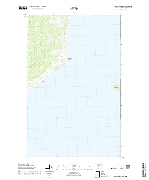 2022 Garden Island West2022 Print · USGSCovers Lake of the Woods County, including United States, Minnesota, and other nearby areas
 - 2022 Map of Oak Island, 2022 Print
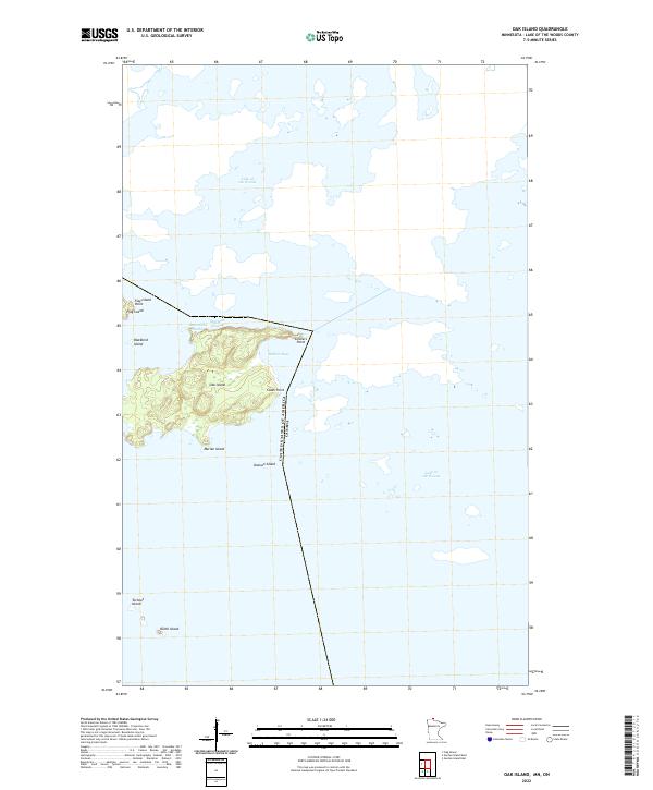 2022 Oak Island2022 Print · USGSCovers Lake of the Woods County, including Lake of the Woods Township, Unorganized Kenora District, and other nearby areas
 - 2022 Map of Garden Island East, 2022 Print
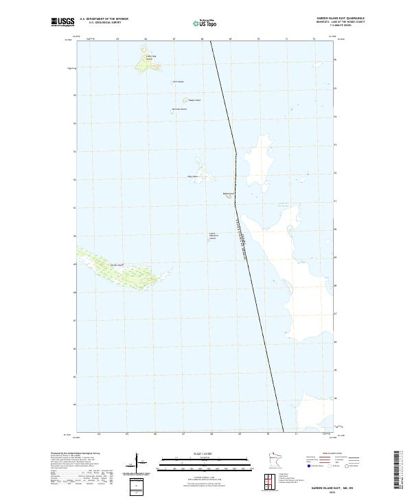 2022 Garden Island East2022 Print · USGSCovers Lake of the Woods County, including Lake of the Woods Township, Rainy River District, and other nearby areas
 - 2022 Map of Angle Inlet SW OE N, 2022 Print
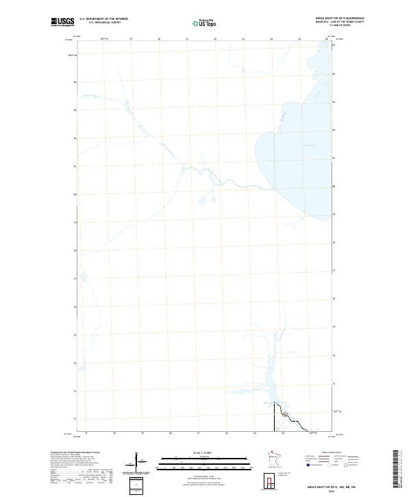 2022 Angle Inlet SW OE N2022 Print · USGSCovers Lake of the Woods County, including Unorganized Kenora District, Unorganized Division No. 1, and other nearby areas
 - 2022 Map of Garden Island East OE S, 2022 Print
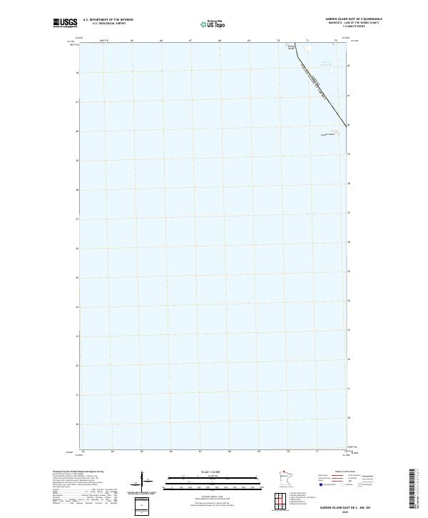 2022 Garden Island East OE S2022 Print · USGSCovers Lake of the Woods County, including Lake of the Woods Township, Rainy River District, and other nearby areas
 - 2022 Map of Head of Rapid River, 2022 Print
 2022 Head of Rapid River2022 Print · USGSCovers Lake of the Woods County, including Beltrami County, United States, and other nearby areas
 - 2022 Map of Roosevelt NE, 2022 Print
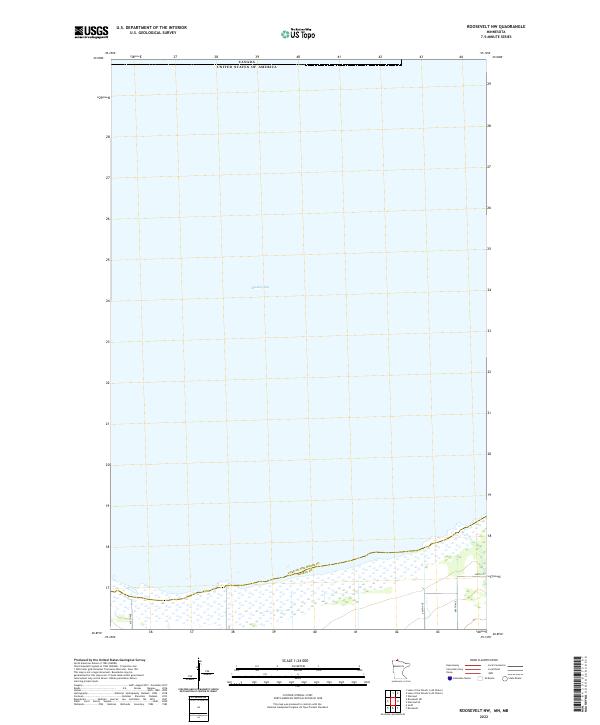
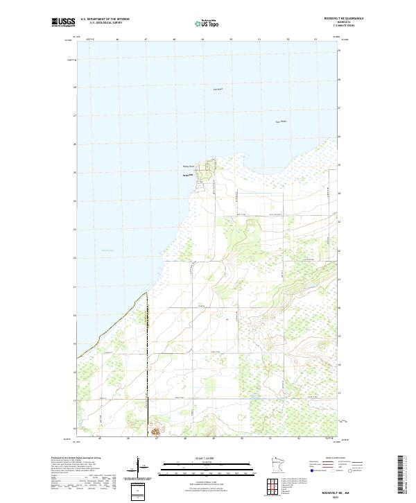 2022 Roosevelt NE2022 Print · USGSCovers Lake of the Woods County, including Arnesén, Roseau County, and other nearby areas
 - 2022 Map of Winter Road Lake SW, 2022 Print
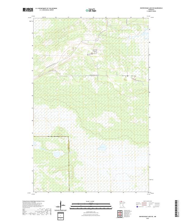 2022 Winter Road Lake SW2022 Print · USGSCovers Lake of the Woods County, including Beltrami County, United States, and other nearby areas
 - 2022 Map of Shilling Dam NW, 2022 Print
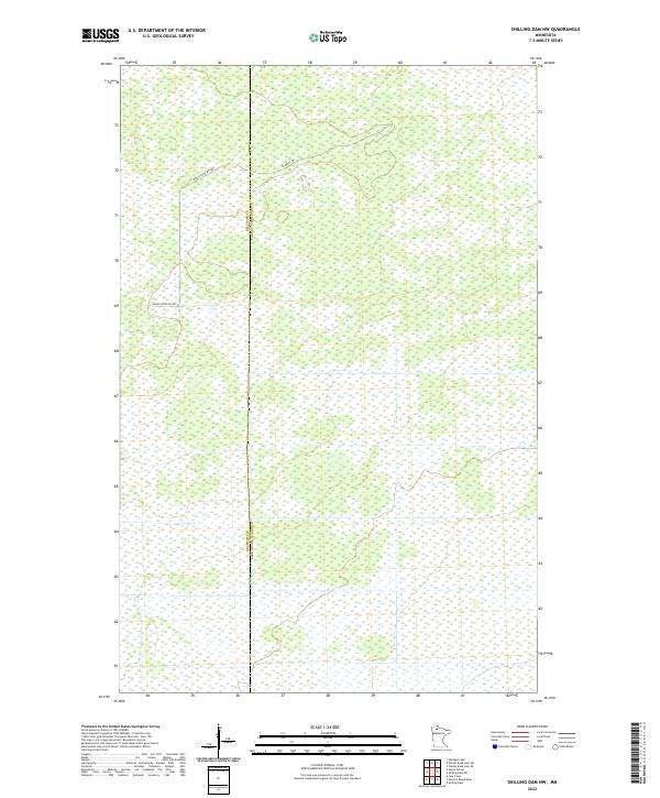 2022 Shilling Dam NW2022 Print · USGSCovers Lake of the Woods County, including Beltrami County, United States, and other nearby areas
 - 2022 Map of Shilling Dam, 2022 Print
 2022 Shilling Dam2022 Print · USGSCovers Lake of the Woods County, including Beltrami County, United States, and other nearby areas
 - 2022 Map of Warroad, 2022 Print
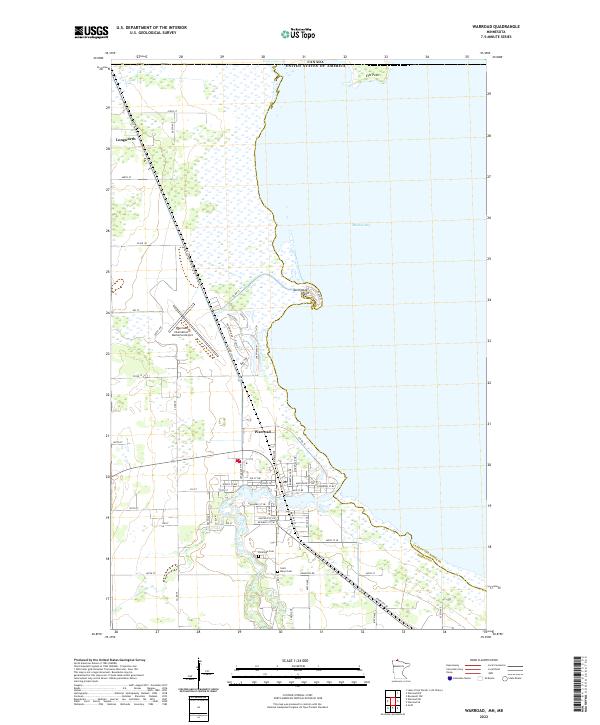 2022 Warroad2022 Print · USGSCovers Lake of the Woods County, including Warroad, Longworth, and other nearby areas
 - 2022 Map of Roosevelt NW, 2022 Print
 2022 Roosevelt NW2022 Print · USGSCovers Lake of the Woods County, including Roseau County, Unorganized Division No. 1, and other nearby areas
 - 2022 Map of Williams SE, 2022 Print
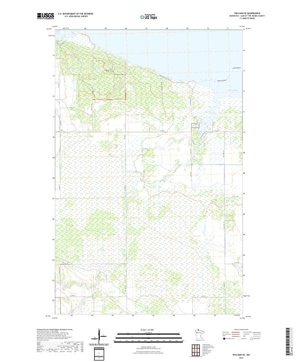 2022 Williams SE2022 Print · USGSCovers Lake of the Woods County, including United States, Minnesota, and other nearby areas
 - 2022 Map of Wheelers Point, 2022 Print
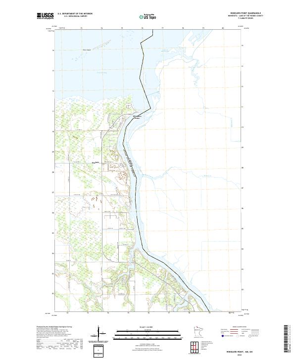 2022 Wheelers Point2022 Print · USGSCovers Lake of the Woods County, including Dawson Township, Hackett, and other nearby areas
 - 2022 Map of Pitt, 2022 Print
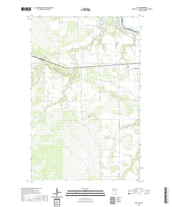 2022 Pitt2022 Print · USGSCovers Lake of the Woods County, including Baudette, Dawson Township, and other nearby areas
 - 2022 Map of Baudette SW, 2022 Print
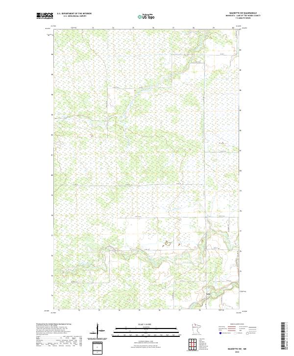 2022 Baudette SW2022 Print · USGSCovers Lake of the Woods County, including Carp, United States, and other nearby areas
 - 2022 Map of Wheelers Point OE N, 2022 Print
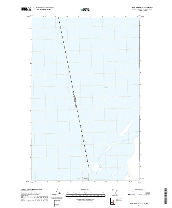 2022 Wheelers Point OE N2022 Print · USGSCovers Lake of the Woods County, including Dawson Township, Lake of the Woods Township, and other nearby areas
 - 2022 Map of Williams, 2022 Print
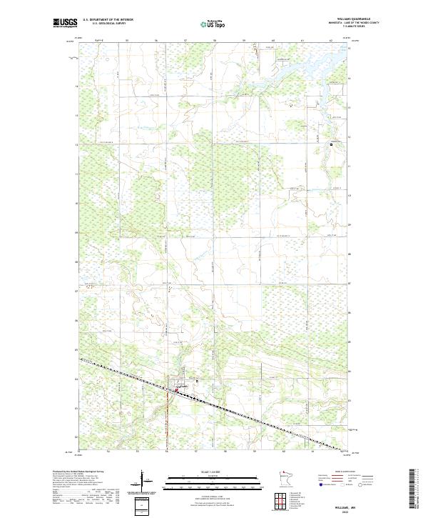 2022 Williams2022 Print · USGSCovers Lake of the Woods County, including Williams, United States, and other nearby areas
 - 2022 Map of Williams NW, 2022 Print
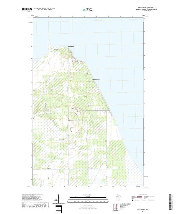 2022 Williams NW2022 Print · USGSCovers Lake of the Woods County, including Birch Beach, Long Point, and other nearby areas
 - 2022 Map of Wayland SW, 2022 Print
 2022 Wayland SW2022 Print · USGSCovers Lake of the Woods County, including Beltrami County, Koochiching County, and other nearby areas
 - 2022 Map of Williams NW OE E, 2022 Print
 2022 Williams NW OE E2022 Print · USGSCovers Lake of the Woods County, including United States, Minnesota, and other nearby areas
Showing maps 1-25 of 50
Top cities of Lake of the Woods County
Frequently asked questions
- What are the different types of historical maps available for Lake of the Woods County?
- What is the oldest map of Lake of the Woods County?
- Where can I purchase historical maps of Lake of the Woods County for my home or office?
- Where can I download high-res historical maps of Lake of the Woods County?
- Are there historical topographic maps available for Lake of the Woods County?
- Is there historical aerial imagery available for Lake of the Woods County?
- Where are historical maps of Lake of the Woods County sourced from?