1970s Maps of Lake of the Woods County, Minnesota
Explore 18 historic maps of Lake of the Woods County from the 1970s. These maps offer a rare glimpse into what life looked like during the 1970s — showing old roads, neighborhoods, homes, and landmarks that have changed or disappeared over time.
Whether you're researching your family's past, planning a metal detecting trip, or studying how Lake of the Woods County's landscape evolved across the 1970s, these high-resolution maps are a powerful tool for exploring the history of this region.
- Focus on a specific era: All maps on this page are from the 1970s, giving you a focused view of this time period.
- See what’s changed: Compare century-old streets, trails, and buildings to today's modern landscape using overlays and satellite layers.
- Research with precision: Use these maps for genealogy, historical research, land use analysis, or educational projects.
- View, download, or print: Maps are fully viewable online in high resolution, and can be downloaded or printed for your own records.
Start exploring Lake of the Woods County's history through authentic maps from the 1970s. This is your window into the past.
Lake of the Woods County, MN maps
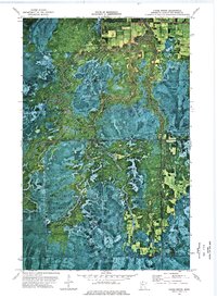
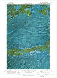
(18)- 1973 Map of Ludlow Lookout Tower, 1976 Print
 1973 Ludlow Lookout Tower1976 Print · USGSCovers Lake of the Woods County, including Beltrami County, United States, and other nearby areas
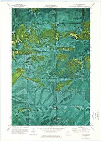
 - 1973 Map of Chase Brook, 1976 Print
 1973 Chase Brook1976 Print · USGSCovers Lake of the Woods County, including United States, Minnesota, and other nearby areas
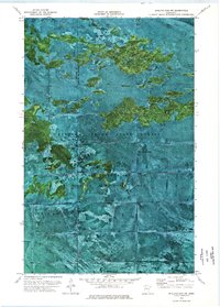
 - 1973 Map of Wayland SW, 1976 Print
 1973 Wayland SW1976 Print · USGSCovers Lake of the Woods County, including Beltrami County, Koochiching County, and other nearby areas
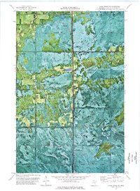
 - 1973 Map of Chase Brook SW, 1976 Print
 1973 Chase Brook SW1976 Print · USGSCovers Lake of the Woods County, including Beltrami County, United States, and other nearby areas
 - 1973 Map of The Pines, 1976 Print
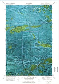
 1973 The Pines1976 Print · USGSCovers Lake of the Woods County, including Koochiching County, United States, and other nearby areas
 - 1973 Map of Shilling Dam NW, 1976 Print
 1973 Shilling Dam NW1976 Print · USGSCovers Lake of the Woods County, including Beltrami County, United States, and other nearby areas
 - 1973 Map of Head of Rapid River, 1976 Print
 1973 Head of Rapid River1976 Print · USGSCovers Lake of the Woods County, including Beltrami County, United States, and other nearby areas
 - 1973 Map of Chase Brook NE, 1976 Print
 1973 Chase Brook NE1976 Print · USGSCovers Lake of the Woods County, including United States, Minnesota, and other nearby areas
 - 1974 Map of Hilman Lake, 1975 Print
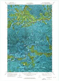
 1974 Hilman Lake1975 Print · USGSCovers Lake of the Woods County, including Beltrami County, United States, and other nearby areas
 - 1974 Map of Shilling Dam, 1976 Print
 1974 Shilling Dam1976 Print · USGSCovers Lake of the Woods County, including Beltrami County, United States, and other nearby areas
 - 1974 Map of Oaks Corner NE, 1976 Print
 1974 Oaks Corner NE1976 Print · USGSCovers Lake of the Woods County, including United States, Minnesota, and other nearby areas
 - 1974 Map of Shilling Dam NE, 1976 Print
 1974 Shilling Dam NE1976 Print · USGSCovers Lake of the Woods County, including United States, Minnesota, and other nearby areas
 - 1974 Map of Oaks Corner, 1976 Print
 1974 Oaks Corner1976 Print · USGSCovers Lake of the Woods County, including Oaks Corner, United States, and other nearby areas
 - 1974 Map of Oaks Corner SW, 1976 Print
 1974 Oaks Corner SW1976 Print · USGSCovers Lake of the Woods County, including Beltrami County, United States, and other nearby areas
 - 1976 Map of Baudette, 1993 Print
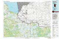 1976 Baudette1993 Print · USGSCovers Lake of the Woods County, including Baudette, Rainy River, and other nearby areas
 - 1976 Map of Roseau, 1994 Print
 1976 Roseau1994 Print · USGSCovers Lake of the Woods County, including Roseau, Warroad, and other nearby areas
 - 1977 Map of Upper Red Lake, 1978 Print
 1977 Upper Red Lake1978 Print · USGSCovers Lake of the Woods County, including Waskish, Shotley, and other nearby areas
 - 1977 Map of Grygla, 1978 Print
 1977 Grygla1978 Print · USGSCovers Lake of the Woods County, including Grygla, Goodridge, and other nearby areas
End of results
Showing maps 1-18 of 18
Top cities of Lake of the Woods County
Frequently asked questions
- What are the different types of historical maps available for Lake of the Woods County?
- What is the oldest map of Lake of the Woods County?
- Where can I purchase historical maps of Lake of the Woods County for my home or office?
- Where can I download high-res historical maps of Lake of the Woods County?
- Are there historical topographic maps available for Lake of the Woods County?
- Is there historical aerial imagery available for Lake of the Woods County?
- Where are historical maps of Lake of the Woods County sourced from?