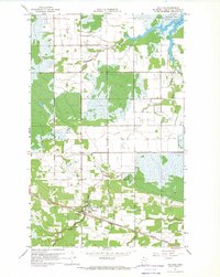
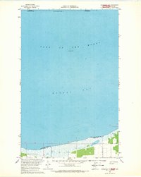
Old Maps of Lake of the Woods County, Minnesota for Academic Research
Study the evolution of Lake of the Woods County with 121 high-resolution historic maps. Whether you're teaching, researching, or modeling changes in land use, these maps provide essential visual documentation of urban, environmental, and geographic change.
- Analyze long-term change: Track patterns in development, transportation, and natural features.
- Ideal for environmental or urban studies: Support academic projects with primary historical map data.
- Use in the classroom or lab: Educators and researchers rely on these maps to bring historical context to life.
These maps are a powerful tool for teaching, research, and visualizing how Lake of the Woods County has changed over the decades.
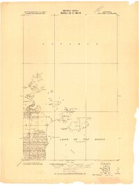
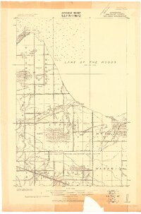
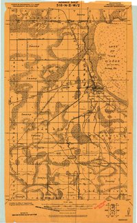
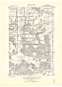
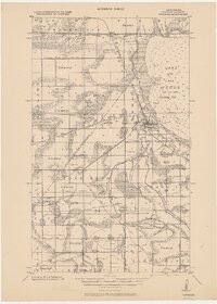
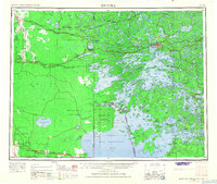
Lake of the Woods County, MN maps
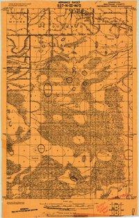
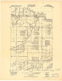
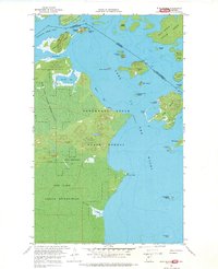
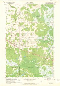
(121)- 1918 Map of Buffalo Bay
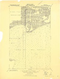 1918 Buffalo Bay1918 Print · USGSCovers Lake of the Woods County, including Unorganized Division No. 1, United States, and other nearby areas2 unique versions available
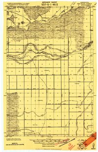
 - 1918 Map of Winterroad
 1918 Winterroad1918 Print · USGSCovers Lake of the Woods County, including Trapper Pete's, Beltrami County, and other nearby areas2 unique versions available
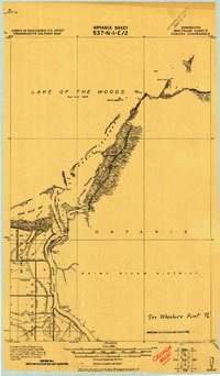
 - 1918 Map of Roosevelt
 1918 Roosevelt1918 Print · USGSCovers Lake of the Woods County, including Roosevelt, Arnesén, and other nearby areas
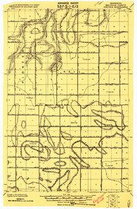
 - 1918 Map of F
 1918 F1918 Print · USGSCovers Lake of the Woods County, including Beltrami County, United States, and other nearby areas
 - 1918 Map of Oak Island
 1918 Oak Island1918 Print · USGSCovers Lake of the Woods County, including Lake of the Woods Township, Unorganized Kenora District, and other nearby areas
 - 1918 Map of Williams
 1918 Williams1918 Print · USGSCovers Lake of the Woods County, including Williams, Long Point, and other nearby areas
 - 1918 Map of Warroad
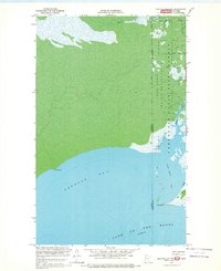
 1918 Warroad1918 Print · USGSCovers Lake of the Woods County, including Warroad, Longworth, and other nearby areas
 - 1919 Map of Peppermint Creek
 1919 Peppermint Creek1919 Print · USGSCovers Lake of the Woods County, including Graceton, Faunce, and other nearby areas
 - 1919 Map of G
 1919 G1919 Print · USGSCovers Lake of the Woods County, including Oaks Corner, Beltrami County, and other nearby areas
 - 1919 Map of Canada
 1919 Canada1919 Print · USGSCovers Lake of the Woods County, including Dawson Township, Lake of the Woods Township, and other nearby areas
 - 1919 Map of Knutson
 1919 Knutson1919 Print · USGSCovers Lake of the Woods County, including Beltrami County, United States, and other nearby areas
 - 1921 Map of Baudette
 1921 Baudette1921 Print · USGSCovers Lake of the Woods County, including Baudette, Rainy River, and other nearby areas2 unique versions available
 - 1943 Map of Peppermint Creek
 1943 Peppermint Creek1943 Print · USGSCovers Lake of the Woods County, including Graceton, Faunce, and other nearby areas
 - 1943 Map of Roosevelt
 1943 Roosevelt1943 Print · USGSCovers Lake of the Woods County, including Roosevelt, Arnesén, and other nearby areas
 - 1943 Map of Warroad
 1943 Warroad1943 Print · USGSCovers Lake of the Woods County, including Warroad, Longworth, and other nearby areas
 - 1954 Map of Roseau, 1969 Print
 1954 Roseau1969 Print · USGSCovers Lake of the Woods County, including Roseau, Warroad, and other nearby areas2 unique versions available
 - 1957 Map of Roseau
 1957 Roseau1957 Print · USGSCovers Lake of the Woods County, including Roseau, Warroad, and other nearby areas
 - 1958 Map of Roseau
 1958 Roseau1958 Print · USGSCovers Lake of the Woods County, including Roseau, Warroad, and other nearby areas
 - 1963 Map of Kenora, 1968 Print
 1963 Kenora1968 Print · USGSCovers Lake of the Woods County, including Kenora, Sioux Narrows-Nestor Falls Township, and other nearby areas2 unique versions available
 - 1967 Map of Flag Island, 1969 Print
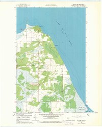
 1967 Flag Island1969 Print · USGSCovers Lake of the Woods County, including Unorganized Kenora District, Penasse, and other nearby areas
 - 1967 Map of Williams, 1969 Print
 1967 Williams1969 Print · USGSCovers Lake of the Woods County, including Williams, United States, and other nearby areas2 unique versions available
 - 1967 Map of Buffalo Bay NW, 1969 Print
 1967 Buffalo Bay NW1969 Print · USGSCovers Lake of the Woods County, including Unorganized Division No. 1, United States, and other nearby areas
 - 1967 Map of Roosevelt NW, 1969 Print
 1967 Roosevelt NW1969 Print · USGSCovers Lake of the Woods County, including Roseau County, Unorganized Division No. 1, and other nearby areas
 - 1967 Map of Roosevelt, 1969 Print
 1967 Roosevelt1969 Print · USGSCovers Lake of the Woods County, including Roosevelt, Roseau County, and other nearby areas2 unique versions available
 - 1967 Map of Williams NW, 1969 Print
 1967 Williams NW1969 Print · USGSCovers Lake of the Woods County, including Long Point, Birch Beach, and other nearby areas
Showing maps 1-25 of 121
Top cities of Lake of the Woods County
Frequently asked questions
- What are the different types of historical maps available for Lake of the Woods County?
- What is the oldest map of Lake of the Woods County?
- Where can I purchase historical maps of Lake of the Woods County for my home or office?
- Where can I download high-res historical maps of Lake of the Woods County?
- Are there historical topographic maps available for Lake of the Woods County?
- Is there historical aerial imagery available for Lake of the Woods County?
- Where are historical maps of Lake of the Woods County sourced from?