2000s (21st Century) Maps of Martin County, Minnesota
Explore 90 historic maps of Martin County from the 2000s (21st Century). These maps offer a rare glimpse into what life looked like during the 2000s — showing old roads, neighborhoods, homes, and landmarks that have changed or disappeared over time.
Whether you're researching your family's past, planning a metal detecting trip, or studying how Martin County's landscape evolved across the 2000s, these high-resolution maps are a powerful tool for exploring the history of this region.
- Focus on a specific era: All maps on this page are from the 2000s, giving you a focused view of this time period.
- See what’s changed: Compare century-old streets, trails, and buildings to today's modern landscape using overlays and satellite layers.
- Research with precision: Use these maps for genealogy, historical research, land use analysis, or educational projects.
- View, download, or print: Maps are fully viewable online in high resolution, and can be downloaded or printed for your own records.
Start exploring Martin County's history through authentic maps from the 2000s. This is your window into the past.
Martin County, MN maps
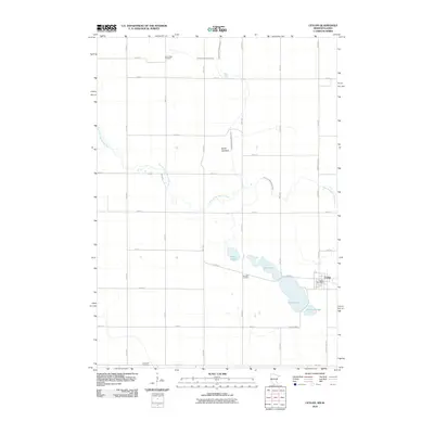
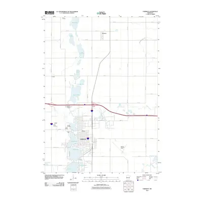
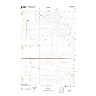
(90)- 2010 Map of Wilbert, 2010 Print
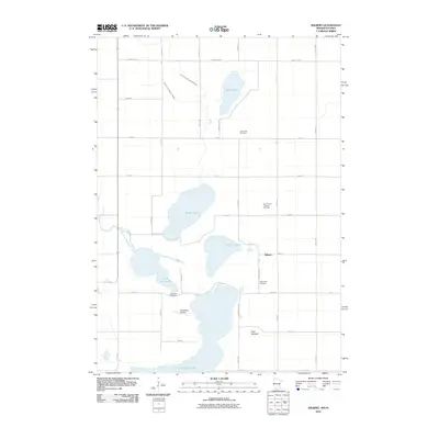 2010 Wilbert2010 Print · USGSCovers Martin County, including Ceylon, Wilbert, and other nearby areas
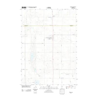
 - 2010 Map of Truman, 2010 Print
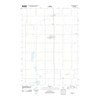 2010 Truman2010 Print · USGSCovers Martin County, including Truman, Watonwan County, and other nearby areas
 - 2010 Map of Granada, 2010 Print
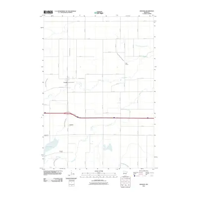 2010 Granada2010 Print · USGSCovers Martin County, including Granada, Imogene, and other nearby areas
 - 2010 Map of Mountain Lake SE, 2010 Print
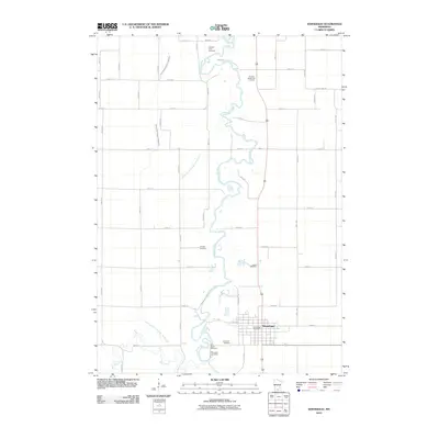
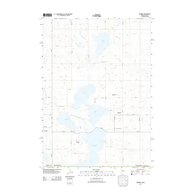
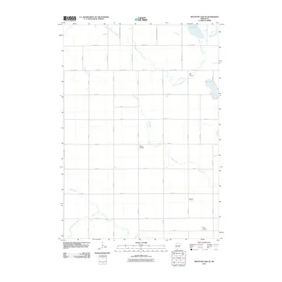 2010 Mountain Lake SE2010 Print · USGSCovers Martin County, including Watonwan County, Jackson County, and other nearby areas
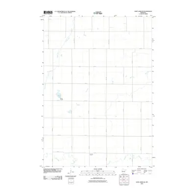
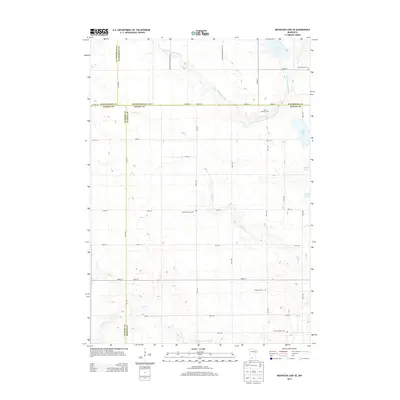
 - 2010 Map of Willmert Lake, 2010 Print
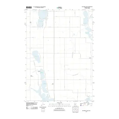 2010 Willmert Lake2010 Print · USGSCovers Martin County, including Fairmont, Kossuth County, and other nearby areas
 - 2010 Map of Alpha, 2010 Print
 2010 Alpha2010 Print · USGSCovers Martin County, including Alpha, Jackson County, and other nearby areas
 - 2010 Map of Huntley, 2010 Print
 2010 Huntley2010 Print · USGSCovers Martin County, including Blue Earth, Winnebago, and other nearby areas
 - 2010 Map of Pilot Grove, 2010 Print
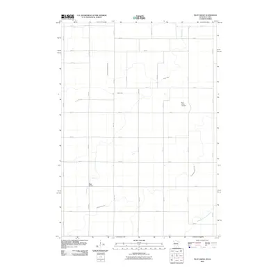 2010 Pilot Grove2010 Print · USGSCovers Martin County, including Pilot Grove, Kossuth County, and other nearby areas
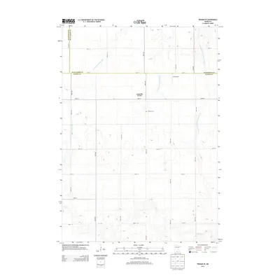
 - 2010 Map of Trimont, 2010 Print
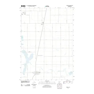 2010 Trimont2010 Print · USGSCovers Martin County, including Trimont, Odin, and other nearby areas
 - 2010 Map of Sherburn, 2010 Print
 2010 Sherburn2010 Print · USGSCovers Martin County, including Sherburn, Welcome, and other nearby areas
 - 2010 Map of East Chain, 2010 Print
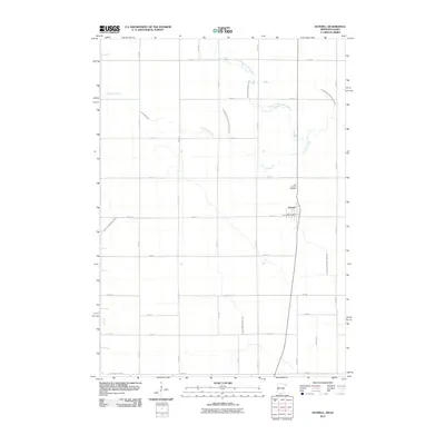
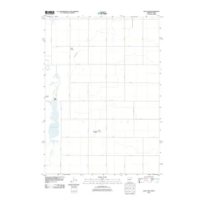 2010 East Chain2010 Print · USGSCovers Martin County, including East Chain, Kossuth County, and other nearby areas
 - 2010 Map of Saint James SE, 2010 Print
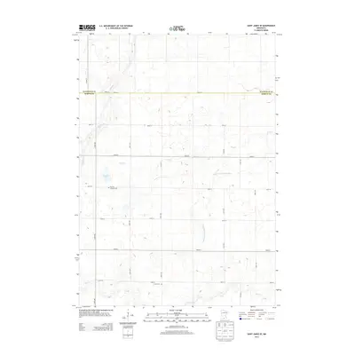
 2010 Saint James SE2010 Print · USGSCovers Martin County, including Watonwan County, United States, and other nearby areas
 - 2010 Map of Ceylon, 2010 Print
 2010 Ceylon2010 Print · USGSCovers Martin County, including Ceylon, Emmet County, and other nearby areas
 - 2010 Map of Truman SE, 2010 Print
 2010 Truman SE2010 Print · USGSCovers Martin County, including Nashville Center, Blue Earth County, and other nearby areas
 - 2010 Map of Dunnell, 2010 Print
 2010 Dunnell2010 Print · USGSCovers Martin County, including Dunnell, Emmet County, and other nearby areas
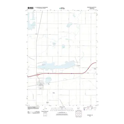
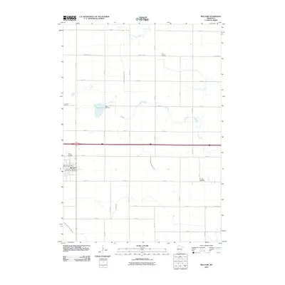
 - 2010 Map of Welcome, 2010 Print
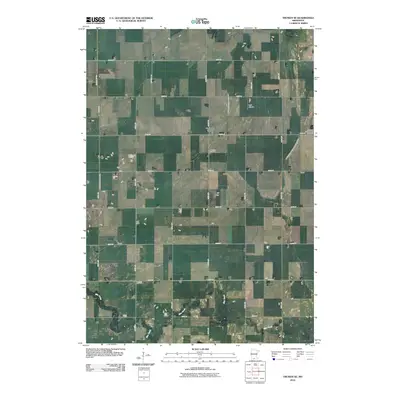
 2010 Welcome2010 Print · USGSCovers Martin County, including Fairmont, Welcome, and other nearby areas
 - 2010 Map of Fairmont, 2010 Print
 2010 Fairmont2010 Print · USGSCovers Martin County, including Fairmont, Northrop, and other nearby areas
 - 2010 Map of Winnebago, 2010 Print
 2010 Winnebago2010 Print · USGSCovers Martin County, including Winnebago, Blue Earth County, and other nearby areas
 - 2013 Map of Truman, 2013 Print
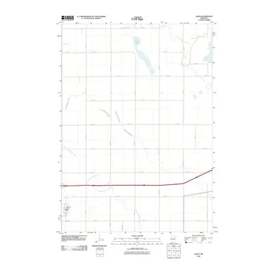
 2013 Truman2013 Print · USGSCovers Martin County, including Truman, Watonwan County, and other nearby areas
 - 2013 Map of Saint James SE, 2013 Print
 2013 Saint James SE2013 Print · USGSCovers Martin County, including Watonwan County, United States, and other nearby areas
 - 2013 Map of Huntley, 2013 Print
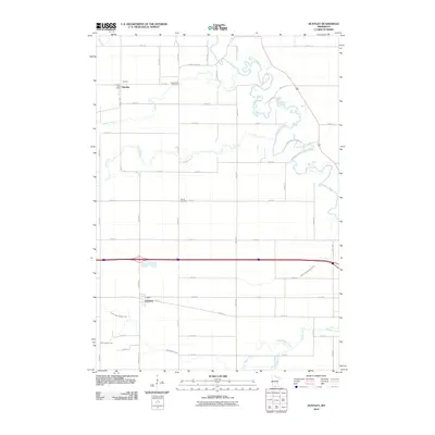
 2013 Huntley2013 Print · USGSCovers Martin County, including Blue Earth, Winnebago, and other nearby areas
 - 2013 Map of Wilbert, 2013 Print
 2013 Wilbert2013 Print · USGSCovers Martin County, including Ceylon, Wilbert, and other nearby areas
 - 2013 Map of Truman SE, 2013 Print
 2013 Truman SE2013 Print · USGSCovers Martin County, including Nashville Center, Blue Earth County, and other nearby areas
 - 2013 Map of Mountain Lake SE, 2013 Print
 2013 Mountain Lake SE2013 Print · USGSCovers Martin County, including Watonwan County, Jackson County, and other nearby areas
 - 2013 Map of Ceylon, 2013 Print
 2013 Ceylon2013 Print · USGSCovers Martin County, including Ceylon, Emmet County, and other nearby areas
Showing maps 1-25 of 90
Top cities of Martin County
- Fairmont historical maps
- Truman historical maps
- Sherburn historical maps
- Trimont historical maps
- Welcome historical maps
- Ceylon historical maps
See more
Frequently asked questions
- What are the different types of historical maps available for Martin County?
- What is the oldest map of Martin County?
- Where can I purchase historical maps of Martin County for my home or office?
- Where can I download high-res historical maps of Martin County?
- Are there historical topographic maps available for Martin County?
- Is there historical aerial imagery available for Martin County?
- Where are historical maps of Martin County sourced from?