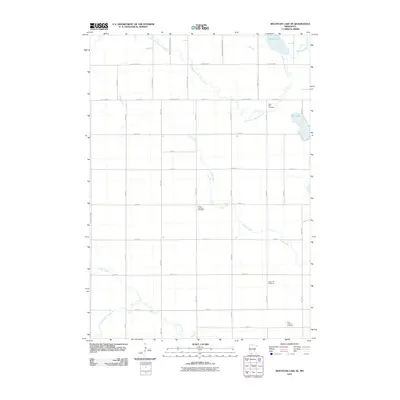
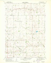
2010 Map of Mountain Lake SE
USGS Topo · Published 2010About this map
Saint Olaf Cemetery and Cedar Lutheran Cemetery sit among a vast grid of section roads and rural homesteads in this 2010 topographic record of Martin County. The landscape is defined by its subtle hydrology, where the South Fork Watonwan River meanders across the northern reaches and Cedar Creek winds through the central prairie. Small bodies of water like Irish Lake and Fish Lake break up the agricultural pattern near the eastern boundary. To the south, the terrain is drained by Elm Creek and the South Fork Elm Creek, while local heritage is preserved in grounds like Cedar Hill Cemetery and First Lutheran Cemetery. The layout of the region is strictly structured by an extensive network of numeric avenues and streets, including County Hwy-7 and County Hwy-21, reflecting the organized development of Minnesota's farming heartland.
Find a feature on this map
36 named features on this map. Tap any name to fly to it.
Don’t see what you’re looking for? This feature index may not catch every label — zoom into the map to look around manually.
Map Details
Editions of this 2010 Mountain Lake SE Map
This is the sole edition of this map. No revisions or reprints were ever made.
Other maps of this area

1954 · Fairmont
USGS Topo · 1:250,000

1958 · Fairmont
USGS Topo · 1:250,000

1970 · Jackson NW
USGS Topo · 1:24,000
1970 · Butterfield
USGS Topo · 1:24,000
1970 · St James West
USGS Topo · 1:24,000

1970 · Trimont
USGS Topo · 1:24,000

1970 · Mountain Lake SE
USGS Topo · 1:24,000
1970 · Mountain Lake
USGS Topo · 1:24,000
1970 · Bergen
USGS Topo · 1:24,000

1970 · Sherburn
USGS Topo · 1:24,000