2000s (21st Century) Maps of Bradbury Township, Minnesota
Explore 20 historic maps of Bradbury Township from the 2000s (21st Century). These maps offer a rare glimpse into what life looked like during the 2000s — showing old roads, neighborhoods, homes, and landmarks that have changed or disappeared over time.
Whether you're researching your family's past, planning a metal detecting trip, or studying how Bradbury Township's landscape evolved across the 2000s, these high-resolution maps are a powerful tool for exploring the history of this region.
- Focus on a specific era: All maps on this page are from the 2000s, giving you a focused view of this time period.
- See what’s changed: Compare century-old streets, trails, and buildings to today's modern landscape using overlays and satellite layers.
- Research with precision: Use these maps for genealogy, historical research, land use analysis, or educational projects.
- View, download, or print: Maps are fully viewable online in high resolution, and can be downloaded or printed for your own records.
Start exploring Bradbury Township's history through authentic maps from the 2000s. This is your window into the past.
Bradbury Township, MN maps
(20)- 2010 Map of Page, 2010 Print
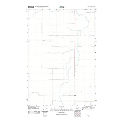 2010 Page2010 Print · USGSPage Township at the end of the first decade of the new millennium shows a rural landscape anchored by the Rum River. Genealogists and local historians can trace property boundaries and access points along Burnt Lane Brook and the small settlement of Page.
 - 2010 Map of Ramey NE, 2010 Print
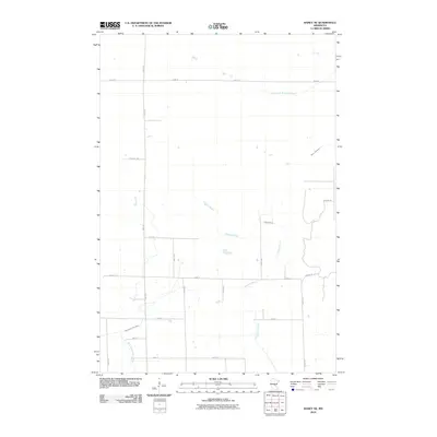 2010 Ramey NE2010 Print · USGSPage Township in the early 2010s remains a landscape defined by its waterways and a quiet rural road network. Genealogists and historians can trace property boundaries along Sage Rd and follow the natural course of Tibbetts Brook or the West Branch Rum River.
 - 2010 Map of Onamia, 2010 Print
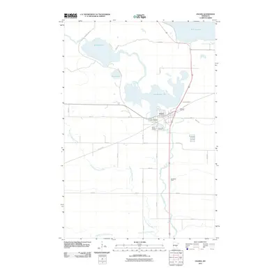 2010 Onamia2010 Print · USGSThe settlement of Onamia and the southern shore of Mille Lacs Lake are shown here as they appeared in the early 21st century. Researchers can trace local genealogy at Holy Cross Cemetery or follow the historic rail path now known as the Soo Line Trl.
 - 2010 Map of Hillman SE, 2010 Print
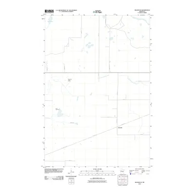 2010 Hillman SE2010 Print · USGSJohnsdale and the surrounding timberlands are captured here during the first decade of the millennium. Researchers can trace the historic railroad corridor now known as the Soo Line Trl or locate landmarks like the North Star Ranch Airport and Kurtz Pond Dam.
 - 2013 Map of Hillman SE, 2013 Print
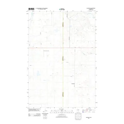 2013 Hillman SE2013 Print · USGSMille Lacs County and the rural crossroads of Johnsdale are captured here during the early twenty-first century. Genealogists and local historians can trace the course of the Rum River and find landmarks like North Star Ranch Airport and Shakopee Lake.
 - 2013 Map of Page, 2013 Print
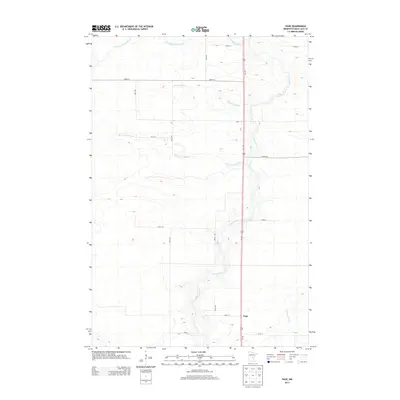 2013 Page2013 Print · USGSPage Township in the early twenty-first century remains defined by its rural intersections and the winding path of the Rum River. Genealogists and local historians can trace the grid of section-line roads and family-named waterways like Robinson Brook and Whitney Brook.
 - 2013 Map of Ramey NE, 2013 Print
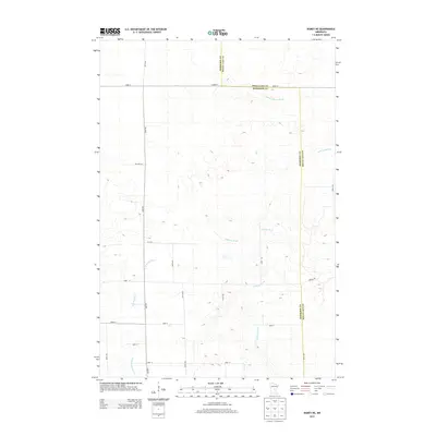 2013 Ramey NE2013 Print · USGSThis rural portion of Mille Lacs and Morrison counties is captured in the early 21st century, showing the grid of roads and waterways. Genealogists and local researchers can trace family lands along Sage Rd or follow the paths of Tibbetts Brook and the W Br Rum River.
 - 2013 Map of Onamia, 2013 Print
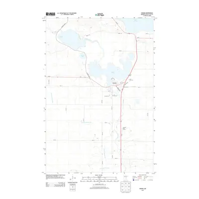 2013 Onamia2013 Print · USGSOnamia and the southern edge of Mille Lacs Lake are seen here in the early twenty-first century as the Rum River winds through the local woods. Genealogists and historians can locate Crosier Cem, Holy Cross Cem, and the small Swiderski Field Airport south of town.
 - 2016 Map of Onamia, 2016 Print
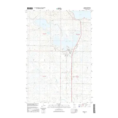 2016 Onamia2016 Print · USGSOnamia and its surrounding glacial lakes are captured here in the mid-2010s, showing the town at the headwaters of the Rum River. Genealogists and local historians can locate three distinct burial sites including Crosier Cem and Mount Pleasant Cem.
 - 2016 Map of Hillman SE, 2016 Print
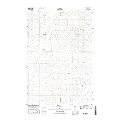 2016 Hillman SE2016 Print · USGSJohnsdale and the surrounding wetlands of the Morrison and Mille Lacs county border are captured in this mid-2010s survey. Researchers can trace the drainage of the Rum River and Hillman Cr or locate the rural North Star Ranch Airport.
 - 2016 Map of Page, 2016 Print
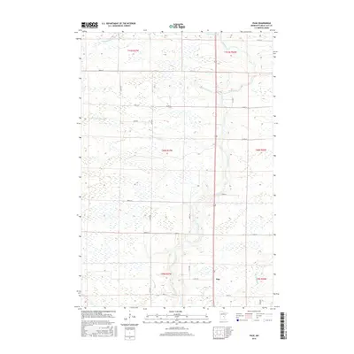 2016 Page2016 Print · USGSPage Township in the mid-2010s remains a landscape shaped by water and the grid of rural Minnesota life. Researchers can trace the winding Rum River and find local landmarks such as Page, Bradbury Brook, and the intersection of Co Rd 8.
 - 2016 Map of Ramey NE, 2016 Print
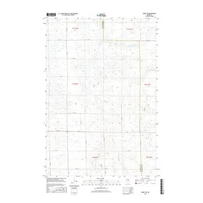 2016 Ramey NE2016 Print · USGSThe Morrison and Mille Lacs county line was surveyed here in the mid-2010s, revealing a landscape defined by prairie wetlands and small streams. Local historians can trace the headwaters of the W Br Rum River and the paths of Tibbetts Brook and Sage Rd.
 - 2019 Map of Page, 2019 Print
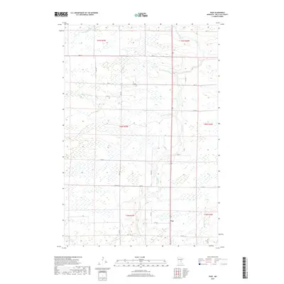 2019 Page2019 Print · USGSPage Township in the late twenty-teens is a landscape defined by its waterways and a rigid section-line road grid. Genealogists and local historians can trace the paths of the Rum River and find the small settlement of Page near the junction of Co Rd 19.
 - 2019 Map of Ramey NE, 2019 Print
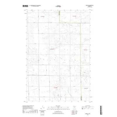 2019 Ramey NE2019 Print · USGSPage Township and the surrounding rural borderlands of Mille Lacs and Morrison counties are shown here as they appeared in 2019. Local researchers can trace the course of the W Br Rum River and locate family lands along Sage Rd or Co Rd 39.
 - 2019 Map of Hillman SE, 2019 Print
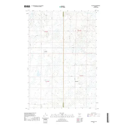 2019 Hillman SE2019 Print · USGSMille Lacs and Morrison counties are seen here in the late 2010s, where a complex network of wetlands and rivers defines the rural landscape. Trace local landmarks like Johnsdale, the North Star Ranch Airport, and the headwaters of the Rum River.
 - 2019 Map of Onamia, 2019 Print
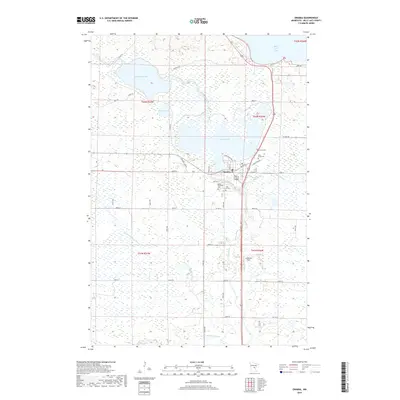 2019 Onamia2019 Print · USGSThe lakeside community of Onamia and its surrounding wetlands are captured here in the late 2010s. Researchers can trace local lineage through Holy Cross Cem and Mount Pleasant Cem or follow the waters of the Rum River and Mille Lacs Lake.
 - 2022 Map of Page, 2022 Print
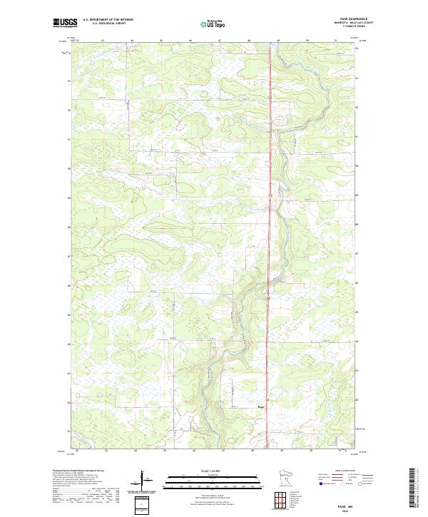 2022 Page2022 Print · USGSMille Lacs County in the early 2020s remains a landscape defined by its wetlands and the winding course of the Rum River. Genealogists and local historians can trace the rural network around Page and the banks of Robinson Brook or Burnt Lane Brook.
 - 2022 Map of Hillman SE, 2022 Print
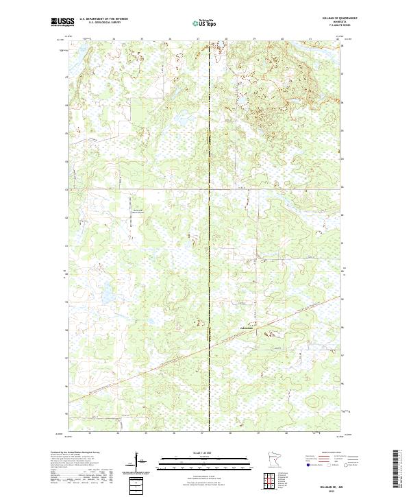 2022 Hillman SE2022 Print · USGSMorrison and Mille Lacs counties meet in this wetland-rich landscape during the early twenty-first century. Researchers can trace the repurposed rail corridors of the Soo Line South trails and locate the settlement of Johnsdale.
 - 2022 Map of Ramey NE, 2022 Print
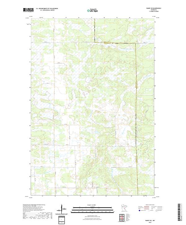 2022 Ramey NE2022 Print · USGSMorrison and Mille Lacs counties are shown here in the early twenty-first century, revealing a landscape dominated by complex wetland systems. Researchers can trace the drainage of Tibbetts Brook, the W Br Rum River, and S Fork Bradbury Brook across a rural grid of roads like Sage Rd.
 - 2022 Map of Onamia, 2022 Print
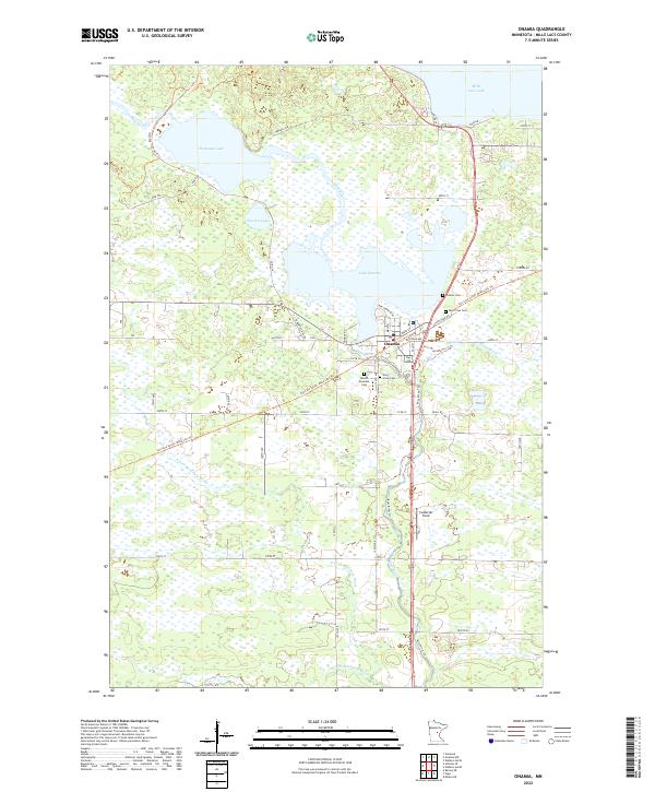 2022 Onamia2022 Print · USGSThe Mille Lacs lake country is captured here during the early 2020s, centered on the historic rail corridor and river headwaters. Researchers can trace local lineage at Crosier Cemetery or follow the legacy of the railroad along the Soo Line South: Mille Lacs Trail.
End of results
Showing maps 1-20 of 20
Top cities near Bradbury Township
Top neighborhoods of Bradbury Township
Frequently asked questions
- What are the different types of historical maps available for Bradbury Township?
- What is the oldest map of Bradbury Township?
- Where can I purchase historical maps of Bradbury Township for my home or office?
- Where can I download high-res historical maps of Bradbury Township?
- Are there historical topographic maps available for Bradbury Township?
- Is there historical aerial imagery available for Bradbury Township?
- Where are historical maps of Bradbury Township sourced from?