Old Maps of New York Mills, Minnesota for Academic Research
Study the evolution of New York Mills with 17 high-resolution historic maps. Whether you're teaching, researching, or modeling changes in land use, these maps provide essential visual documentation of urban, environmental, and geographic change.
- Analyze long-term change: Track patterns in development, transportation, and natural features.
- Ideal for environmental or urban studies: Support academic projects with primary historical map data.
- Use in the classroom or lab: Educators and researchers rely on these maps to bring historical context to life.
These maps are a powerful tool for teaching, research, and visualizing how New York Mills has changed over the decades.
New York Mills, MN maps
(17)- 1953 Map of Brainerd, 1966 Print
 1953 Brainerd1966 Print · USGSCentral Minnesota's lake country and iron ranges are detailed in the mid-fifties, showing the intersection of industry and wilderness. Researchers can locate specific local landmarks like the Crow Wing County Courthouse or trace the early paths of the Soo Line Railroad and the Cuyuna Range Iron Mines.3 unique versions available
 - 1957 Map of Brainerd
 1957 Brainerd1957 Print · USGSNorth-central Minnesota's lake-rich landscape is captured in the mid-1950s as a crossroads of rail, river, and forest. Genealogists and historians can trace the paths of the Great Northern and Soo Line railroads through hubs like Brainerd, Wadena, and Detroit Lakes.
 - 1958 Map of Brainerd
 1958 Brainerd1958 Print · USGSCentral Minnesota in the late fifties is a landscape of dense lake chains, rail hubs, and sprawling state forests. Genealogists and local historians can trace old property alignments near the Mississippi River or locate family sites in Brainerd, Little Falls, and Detroit Lakes.
 - 1965 Map of Brainerd
 1965 Brainerd1965 Print · USGSNorth-central Minnesota in the mid-fifties presents a complex landscape of sprawling lake systems and established rail corridors. Genealogists and historians can trace the growth of timber towns along the Northern Pacific RR and explore early borders of the White Earth Indian Reservation or Tamarac National Wildlife Refuge.
 - 1969 Map of New York Mills West, 1971 Print
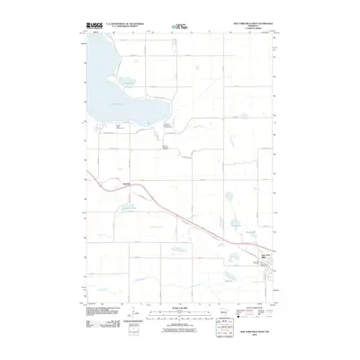
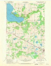 1969 New York Mills West1971 Print · USGSOtter Tail County in the late sixties reveals a landscape shaped by the Burlington Northern rail line and the vast Big Pine Lake. Genealogists and local historians can trace the foundations of Richdale, the outskirts of New York Mills, and burials at Greenwood Cem.
 - 1969 Map of New York Mills East, 1971 Print
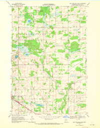 1969 New York Mills East1971 Print · USGSOtter Tail County is captured here in the late sixties as the rail corridor and local townships were maturing. Genealogists can trace family lands across Homestead and Newton, or locate early sites like the settlement of Davies and New York Mills.
 - 1986 Map of Detroit Lakes
 1986 Detroit Lakes1986 Print · USGSBecker and Otter Tail counties in the 1980s reveal a landscape of vast wildlife refuges and glacial lakes. Genealogists and historians can trace the rail corridor through Detroit Lakes and Perham or locate family sites near Sugar Bush Lake and Smoky Hill Lookout.2 unique versions available
 - 2010 Map of New York Mills East, 2010 Print
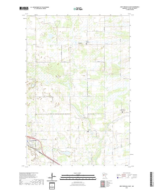
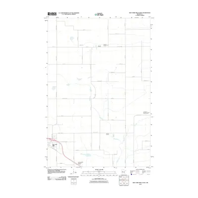 2010 New York Mills East2010 Print · USGSCovers New York Mills, including Davies, Otter Tail County, and other nearby areas
 - 2010 Map of New York Mills West, 2010 Print
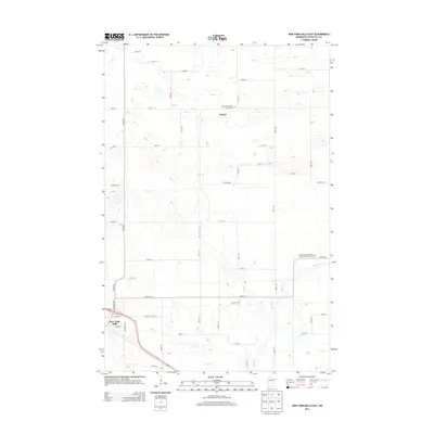
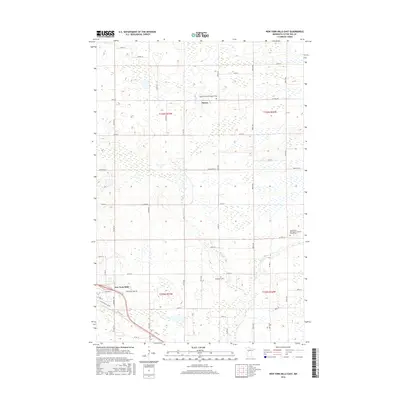
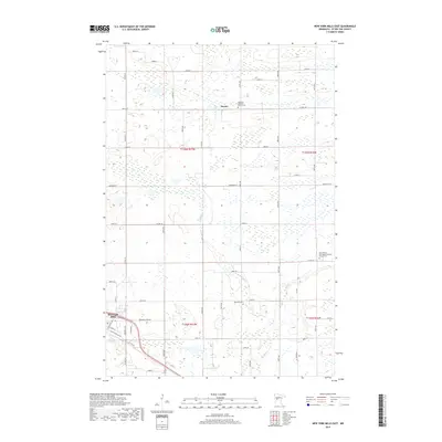
 2010 New York Mills West2010 Print · USGSCovers New York Mills, including Richdale, Mills Manor Mobile Home Park, and other nearby areas
 - 2013 Map of New York Mills East, 2013 Print
 2013 New York Mills East2013 Print · USGSCovers New York Mills, including Davies, Otter Tail County, and other nearby areas
 - 2013 Map of New York Mills West, 2013 Print
 2013 New York Mills West2013 Print · USGSCovers New York Mills, including Richdale, Mills Manor Mobile Home Park, and other nearby areas
 - 2016 Map of New York Mills West, 2016 Print
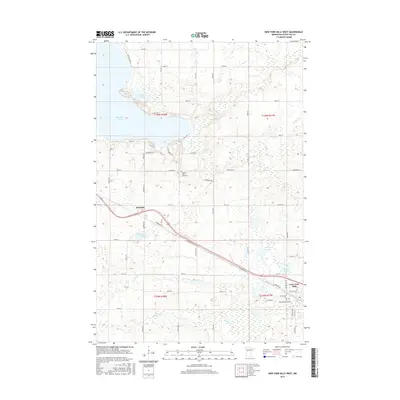 2016 New York Mills West2016 Print · USGSCovers New York Mills, including Richdale, Mills Manor Mobile Home Park, and other nearby areas
 - 2016 Map of New York Mills East, 2016 Print
 2016 New York Mills East2016 Print · USGSCovers New York Mills, including Davies, Otter Tail County, and other nearby areas
 - 2019 Map of New York Mills West, 2019 Print
 2019 New York Mills West2019 Print · USGSCovers New York Mills, including Richdale, Mills Manor Mobile Home Park, and other nearby areas
 - 2019 Map of New York Mills East, 2019 Print
 2019 New York Mills East2019 Print · USGSCovers New York Mills, including Davies, Otter Tail County, and other nearby areas
 - 2022 Map of New York Mills East, 2022 Print
 2022 New York Mills East2022 Print · USGSThe eastern outskirts of New York Mills and the rural reaches of Otter Tail County are captured here in the early twenty-first century. Genealogists can locate family landmarks such as Nazareth Lutheran Church Cem and Saint Peter's Norwegian Lutheran Church Cem.
 - 2023 Map of New York Mills West, 2023 Print
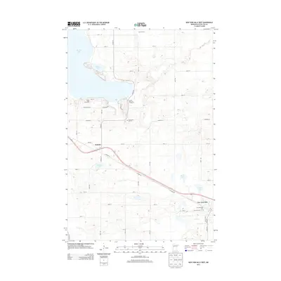
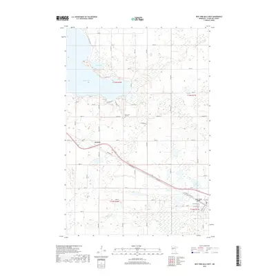
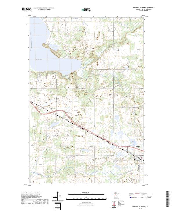 2023 New York Mills West2023 Print · USGSOtter Tail County's lake-studded terrain is documented here in the early twenty-first century, centered on the corridor between Richdale and New York Mills. Genealogists can locate several local burial grounds, including Old Greenwood Cem and the Historic Pine Lake Cem.
End of results
Showing maps 1-17 of 17
Top cities near New York Mills
- Wadena historical maps
- Perham historical maps
- Henning historical maps
- Ottertail historical maps
- Deer Creek historical maps
- Butler historical maps
See more
Top neighborhoods of New York Mills
Frequently asked questions
- What are the different types of historical maps available for New York Mills?
- What is the oldest map of New York Mills?
- Where can I purchase historical maps of New York Mills for my home or office?
- Where can I download high-res historical maps of New York Mills?
- Are there historical topographic maps available for New York Mills?
- Is there historical aerial imagery available for New York Mills?
- Where are historical maps of New York Mills sourced from?