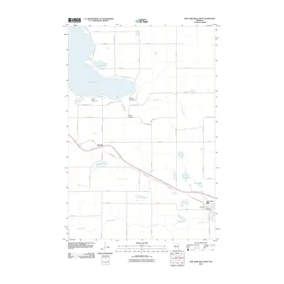
2010 Map of New York Mills West
USGS Topo · Published 2010About this map
Richdale and the western outskirts of New York Mills anchor this landscape in Otter Tail County, where the transition from agricultural fields to the lake-studded terrain of the north is clearly visible. The survey captures a network of rural roads such as Nitche Lake Rd and Haberman Rd that connect family farms to local recreation and memorial sites. Genealogists and local historians will find value in the precise locations of the Historic Pine Lake Cemetery, Greenwood Cemetery, and the Old Greenwood Cemetery, documenting the community's burial grounds near the turn of the 21st century.
Find a feature on this map
50 named features on this map. Tap any name to fly to it.
Don’t see what you’re looking for? This feature index may not catch every label — zoom into the map to look around manually.
Map Details
Editions of this 2010 New York Mills West Map
This is the sole edition of this map. No revisions or reprints were ever made.
Other maps of this area

1912 · Battle Lake
USGS Topo · 1:62,500

1914 · Battle Lake
USGS Topo · 1:62,500

1915 · Perham
USGS Topo · 1:62,500

1953 · Brainerd
USGS Topo · 1:250,000

1957 · Brainerd
USGS Topo · 1:250,000

1958 · Brainerd
USGS Topo · 1:250,000

1965 · Brainerd
USGS Topo · 1:250,000

1969 · New York Mills NW
USGS Topo · 1:24,000

1969 · Heinola
USGS Topo · 1:24,000

1969 · New York Mills West
USGS Topo · 1:24,000
Featured Places
- New York Mills, MN
- Richdale, MN
- Mills Manor Mobile Home Park, New York Mills
- Otter Tail County, MN
- United States