Old Maps of Richville, Minnesota for Academic Research
Study the evolution of Richville with 33 high-resolution historic maps. Whether you're teaching, researching, or modeling changes in land use, these maps provide essential visual documentation of urban, environmental, and geographic change.
- Analyze long-term change: Track patterns in development, transportation, and natural features.
- Ideal for environmental or urban studies: Support academic projects with primary historical map data.
- Use in the classroom or lab: Educators and researchers rely on these maps to bring historical context to life.
These maps are a powerful tool for teaching, research, and visualizing how Richville has changed over the decades.
Richville, MN maps
(33)- 1912 Map of Battle Lake, 1975 Print
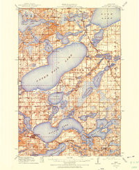 1912 Battle Lake1975 Print · USGSOtter Tail County is captured here in the early twentieth century, showing a lake-rich landscape being shaped by new railroads and summer tourism. Genealogists can locate nearly twenty numbered schoolhouses and early communities like Battle Lake, Vining, and Ottertail.
 - 1914 Map of Battle Lake
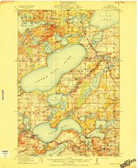 1914 Battle Lake1914 Print · USGSOtter Tail County’s lake country is captured here just before the Great War, showing a landscape defined by water and rail. Researchers can trace numerous rural schoolhouses and early lakeside retreats like Island Lodge, Camp Nidaros, and the village of Battle Lake.3 unique versions available
 - 1915 Map of Perham
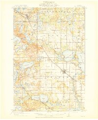 1915 Perham1915 Print · USGSOtter Tail County was a landscape of steam and water in the early twentieth century. Genealogists can trace family footprints through numerous rural school sites like School No 132 and settlements along the Northern Pacific including Perham and Frazee.3 unique versions available
 - 1953 Map of Brainerd, 1966 Print
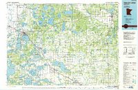
 1953 Brainerd1966 Print · USGSCentral Minnesota's lake country and iron ranges are detailed in the mid-fifties, showing the intersection of industry and wilderness. Researchers can locate specific local landmarks like the Crow Wing County Courthouse or trace the early paths of the Soo Line Railroad and the Cuyuna Range Iron Mines.3 unique versions available
 - 1957 Map of Brainerd
 1957 Brainerd1957 Print · USGSNorth-central Minnesota's lake-rich landscape is captured in the mid-1950s as a crossroads of rail, river, and forest. Genealogists and historians can trace the paths of the Great Northern and Soo Line railroads through hubs like Brainerd, Wadena, and Detroit Lakes.
 - 1958 Map of Brainerd
 1958 Brainerd1958 Print · USGSCentral Minnesota in the late fifties is a landscape of dense lake chains, rail hubs, and sprawling state forests. Genealogists and local historians can trace old property alignments near the Mississippi River or locate family sites in Brainerd, Little Falls, and Detroit Lakes.
 - 1965 Map of Brainerd
 1965 Brainerd1965 Print · USGSNorth-central Minnesota in the mid-fifties presents a complex landscape of sprawling lake systems and established rail corridors. Genealogists and historians can trace the growth of timber towns along the Northern Pacific RR and explore early borders of the White Earth Indian Reservation or Tamarac National Wildlife Refuge.
 - 1973 Map of Ottertail, 1975 Print
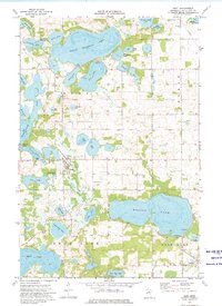
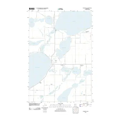
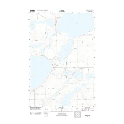
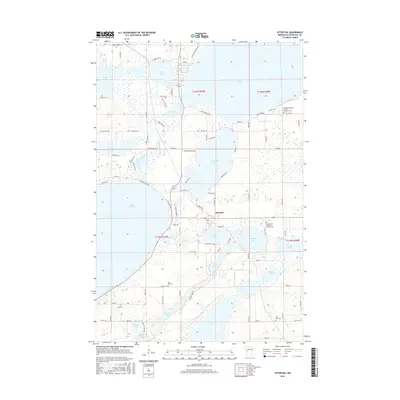
 1973 Ottertail1975 Print · USGSThe lakeside community of Ottertail is shown at a time when the Soo Line railroad and local water recreation defined the area's rhythm. Genealogists and historians can locate several rural landmarks including Otter Tail Cem, Zion Cem, and the St John Sch.
 - 1973 Map of Dent, 1975 Print
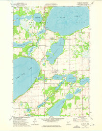
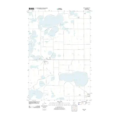
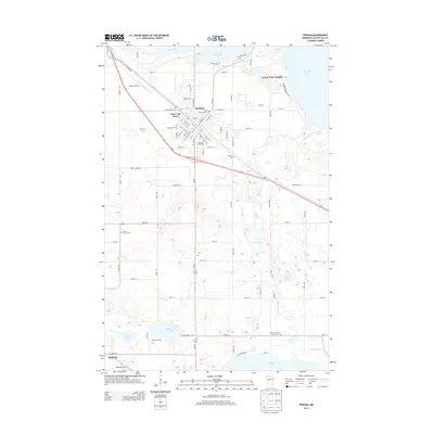
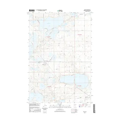
 1973 Dent1975 Print · USGSThe village of Dent and the surrounding lakes are captured in the early 1970s as seasonal recreation and conservation efforts shaped the landscape. Genealogists and local historians can trace family plots at Pleasant Hill Cem or follow the Soo Line rail corridor past Richville.
 - 1973 Map of Walker Lake, 1975 Print
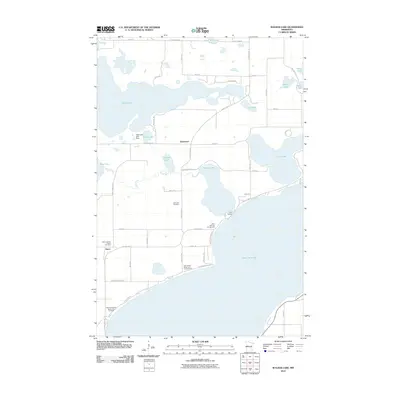
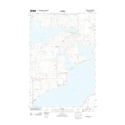
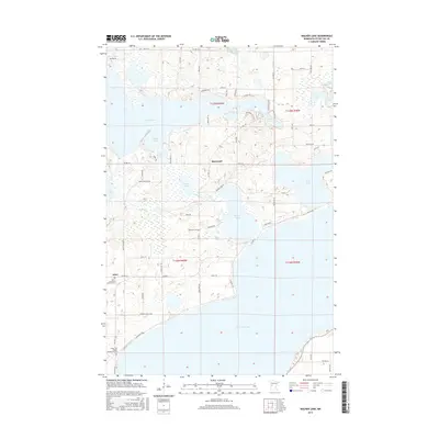
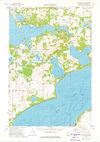 1973 Walker Lake1975 Print · USGSOtter Tail County's lake-rich landscape is captured here in the early seventies, showing a period of dedicated conservation and quiet lakeside living. Trace family history or local sites at Amor, Oakwood Cem, and the Amor State Wildlife Management Area.
 - 1973 Map of Perham, 1975 Print
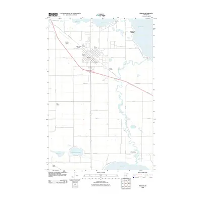
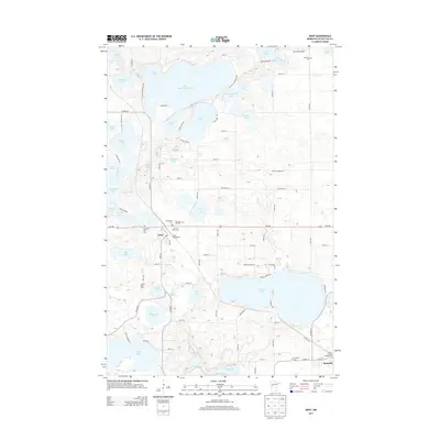
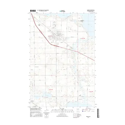
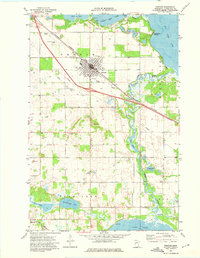 1973 Perham1975 Print · USGSThe lakeside community of Perham is captured here in the early seventies, nestled among the glacial waters of Otter Tail County. Genealogists can trace family roots through several local landmarks like St Stanislaus Ch, Perham Cem, and the residential area at Grand View Heights.
 - 1986 Map of Detroit Lakes
 1986 Detroit Lakes1986 Print · USGSBecker and Otter Tail counties in the 1980s reveal a landscape of vast wildlife refuges and glacial lakes. Genealogists and historians can trace the rail corridor through Detroit Lakes and Perham or locate family sites near Sugar Bush Lake and Smoky Hill Lookout.2 unique versions available
 - 1986 Map of Battle Lake
 1986 Battle Lake1986 Print · USGSMinnesota's lake-rich glacial heartland is captured in the mid-1980s, showcasing a landscape defined by water and rail. Genealogists and collectors can trace the rural sections around Battle Lake and Parkers Prairie or locate family sites near Otter Tail Lake and Clitherall.2 unique versions available
 - 2010 Map of Dent, 2010 Print
 2010 Dent2010 Print · USGSCovers Richville, including Dent, Star Hills Mobile Home Park, and other nearby areas
 - 2010 Map of Ottertail, 2010 Print
 2010 Ottertail2010 Print · USGSCovers Richville, including Ottertail, Otter Tail County, and other nearby areas
 - 2010 Map of Perham, 2010 Print
 2010 Perham2010 Print · USGSCovers Richville, including Perham, Grand View Heights, and other nearby areas
 - 2010 Map of Walker Lake, 2010 Print
 2010 Walker Lake2010 Print · USGSCovers Richville, including Amor, Basswood, and other nearby areas
 - 2013 Map of Perham, 2013 Print
 2013 Perham2013 Print · USGSCovers Richville, including Perham, Grand View Heights, and other nearby areas
 - 2013 Map of Ottertail, 2013 Print
 2013 Ottertail2013 Print · USGSCovers Richville, including Ottertail, Otter Tail County, and other nearby areas
 - 2013 Map of Walker Lake, 2013 Print
 2013 Walker Lake2013 Print · USGSCovers Richville, including Amor, Basswood, and other nearby areas
 - 2013 Map of Dent, 2013 Print
 2013 Dent2013 Print · USGSCovers Richville, including Dent, Star Hills Mobile Home Park, and other nearby areas
 - 2016 Map of Dent, 2016 Print
 2016 Dent2016 Print · USGSCovers Richville, including Dent, Star Hills Mobile Home Park, and other nearby areas
 - 2016 Map of Walker Lake, 2016 Print
 2016 Walker Lake2016 Print · USGSCovers Richville, including Amor, Basswood, and other nearby areas
 - 2016 Map of Ottertail, 2016 Print
 2016 Ottertail2016 Print · USGSCovers Richville, including Ottertail, Otter Tail County, and other nearby areas
 - 2016 Map of Perham, 2016 Print
 2016 Perham2016 Print · USGSCovers Richville, including Perham, Grand View Heights, and other nearby areas
Showing maps 1-25 of 33
Top cities near Richville
- Perham historical maps
- Frazee historical maps
- Battle Lake historical maps
- Henning historical maps
- Maine historical maps
- Ottertail historical maps
See more
Frequently asked questions
- What are the different types of historical maps available for Richville?
- What is the oldest map of Richville?
- Where can I purchase historical maps of Richville for my home or office?
- Where can I download high-res historical maps of Richville?
- Are there historical topographic maps available for Richville?
- Is there historical aerial imagery available for Richville?
- Where are historical maps of Richville sourced from?