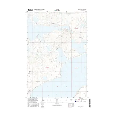
2016 Map of Walker Lake
USGS Topo · Published 2016About this map
The glacial landscape of Otter Tail County is defined here by a dense network of interconnected basins and waterways, where the Dead River links the expansive waters of Dead Lake to Walker Lake. The small settlement of Amor serves as a local anchor near the southwestern corner of the sheet, while Basswood is positioned further north amidst the ridges and wetlands. For those researching local history, several significant sites are documented, including the Zion Lutheran Church Cem and the Otter Tail County Sanitorium Cem near the shores of Otter Tail Lake. The map reveals a complex shoreline with features like Indian Bay and Indian Lake, illustrating how the township's development followed the irregular contours of the water. This 2016 data provides a clear record of the modern road network, from Co Hwy 14 to smaller residential lanes like Walker Lake Dr.
Find a feature on this map
71 named features on this map. Tap any name to fly to it.
Don’t see what you’re looking for? This feature index may not catch every label — zoom into the map to look around manually.
Map Details
Editions of this 2016 Walker Lake Map
This is the sole edition of this map. No revisions or reprints were ever made.
Other maps of this area

1912 · Vergas
USGS Topo · 1:62,500

1912 · Battle Lake
USGS Topo · 1:62,500

1914 · Battle Lake
USGS Topo · 1:62,500

1915 · Underwood
USGS Topo · 1:62,500

1915 · Perham
USGS Topo · 1:62,500

1915 · Vergas
USGS Topo · 1:62,500

1953 · Brainerd
USGS Topo · 1:250,000

1957 · Brainerd
USGS Topo · 1:250,000

1958 · Brainerd
USGS Topo · 1:250,000

1965 · Brainerd
USGS Topo · 1:250,000