2000s (21st Century) Maps of Bassett Township, Minnesota
Explore 55 historic maps of Bassett Township from the 2000s (21st Century). These maps offer a rare glimpse into what life looked like during the 2000s — showing old roads, neighborhoods, homes, and landmarks that have changed or disappeared over time.
Whether you're researching your family's past, planning a metal detecting trip, or studying how Bassett Township's landscape evolved across the 2000s, these high-resolution maps are a powerful tool for exploring the history of this region.
- Focus on a specific era: All maps on this page are from the 2000s, giving you a focused view of this time period.
- See what’s changed: Compare century-old streets, trails, and buildings to today's modern landscape using overlays and satellite layers.
- Research with precision: Use these maps for genealogy, historical research, land use analysis, or educational projects.
- View, download, or print: Maps are fully viewable online in high resolution, and can be downloaded or printed for your own records.
Start exploring Bassett Township's history through authentic maps from the 2000s. This is your window into the past.
Bassett Township, MN maps
(55)- 2011 Map of Harris Lake, 2011 Print
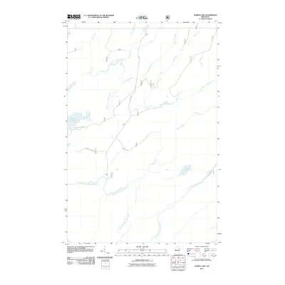 2011 Harris Lake2011 Print · USGSSaint Louis County at the turn of the decade is depicted here as a landscape of timber-country trails and winding river branches. Researchers can trace the winding course of the North Branch Whiteface River or locate remote landmarks like Harris Lake and Camp 26 Trl.
 - 2011 Map of Bird Lake, 2011 Print
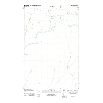 2011 Bird Lake2011 Print · USGSSaint Louis County is documented here at the start of the 2010s, showing a landscape defined by the winding Saint Louis River and forest management infrastructure. Researchers can locate remote landmarks like the Skibo Lookout Tower and trace drainage across Shiver Creek and Hush Lake.
 - 2011 Map of Fairbanks, 2011 Print
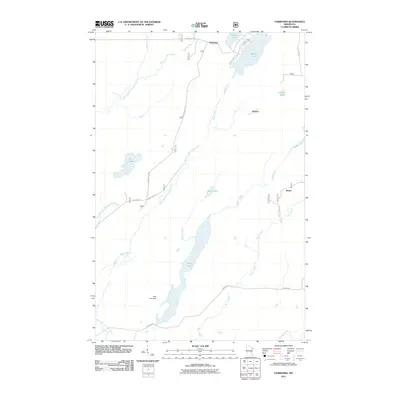 2011 Fairbanks2011 Print · USGSSaint Louis County's northern timberlands and lake country are captured here in the early twenty-first century. Genealogists and researchers can trace the roads and waterways connecting Fairbanks, Hornby, and Breda, alongside landmarks like Wolf Lake Dam.
 - 2011 Map of Babbitt SW, 2011 Print
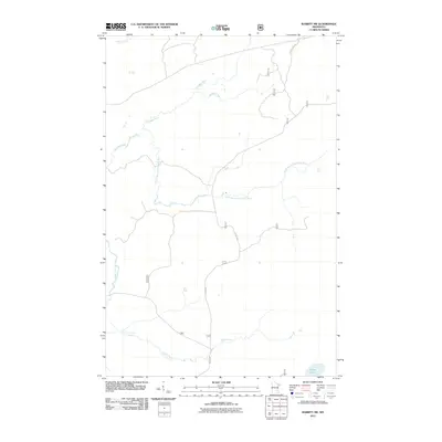 2011 Babbitt SW2011 Print · USGSBabbitt and the surrounding Saint Louis County backcountry are documented here in the early twenty-first century. Outdoorsmen and local historians can trace the network of Forest Rte 113 and Co Rd 680 as they cross the Partridge River and Colvin Creek.
 - 2011 Map of Toimi, 2011 Print
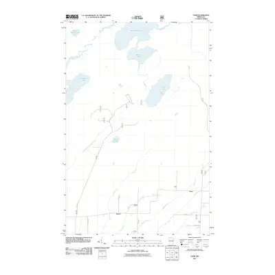 2011 Toimi2011 Print · USGSThe northern lake country of Saint Louis County is documented here in the early twenty-first century. Genealogists and local historians can trace the community of Bassett and Toimi, alongside family landmarks like the Bassett Cemetery and Tikkanen Rd.
 - 2011 Map of Skibo, 2011 Print
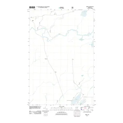 2011 Skibo2011 Print · USGSNorthern Minnesota's timber and river country is documented here in the early twenty-first century as recreational use grows alongside older settlements. Genealogists and hikers can trace the areas around Skibo, Clappers, and the Cadotte Lake Campground.
 - 2011 Map of Babbitt NE, 2011 Print
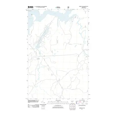 2011 Babbitt NE2011 Print · USGSThe Superior National Forest interior near Babbitt is captured here in the early twenty-first century as a landscape of timber camps and winding waterways. Researchers can trace forest access routes like Mattila Rd to landmarks such as Tomahawk Camp and the banks of Twenty Proof Creek.
 - 2011 Map of Babbitt SE, 2011 Print
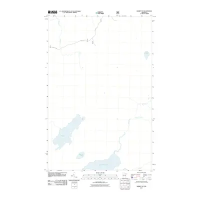 2011 Babbitt SE2011 Print · USGSBabbitt SE in the early 2010s shows a remote Minnesota wilderness dominated by expansive glacial water systems and forestry routes. Trace the winding paths of the North River and Dunka River, or locate the shores of Seven Beaver Lake and Big Lake.
 - 2011 Map of Brimson, 2011 Print
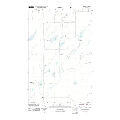 2011 Brimson2011 Print · USGSBrimson and the surrounding lakelands are shown here in the early twenty-first century, before changes in forest management and rural infrastructure. Researchers can locate family landmarks like the Brimson Cemetery, the Brimson Post Office, and the Camp FE House.
 - 2011 Map of Babbitt, 2011 Print
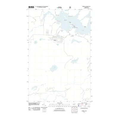 2011 Babbitt2011 Print · USGSBabbitt is captured here in the early twenty-first century, showing the intersection of planned residential streets and the expansive waters of the Iron Range. Researchers can trace the town's layout near the Babbitt Post Office or explore the shoreline of Birch Lake from Eagle Nest Point to Blueberry Island.
 - 2011 Map of Allen, 2011 Print
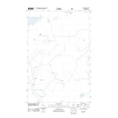 2011 Allen2011 Print · USGSIron Range mining history and wilderness waterways define this area of Saint Louis County in the early twenty-first century. Genealogists and local historians can trace the geography around Allen and Wyman, from the deep Erie Mine Number Two Pit to the banks of the Partridge River.
 - 2013 Map of Brimson, 2013 Print
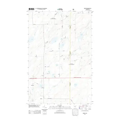 2013 Brimson2013 Print · USGSNortheastern Minnesota's timberlands and lake country are captured here in the early twenty-first century as the area serves as a gateway to the north woods. Researchers can locate family landmarks like Brimson Cem, the settlement at Rollins, and Indian Lake Campground.
 - 2013 Map of Bird Lake, 2013 Print
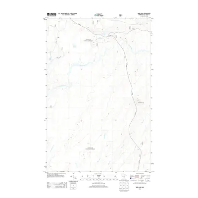 2013 Bird Lake2013 Print · USGSThe northern wilderness of Saint Louis County is captured here in the early twenty-first century, showing the remote reaches of the Superior National Forest. Researchers can trace the winding Saint Louis River and locate landmarks like the Skibo Lookout Tower and Bird Lake.
 - 2013 Map of Skibo, 2013 Print
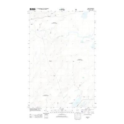 2013 Skibo2013 Print · USGSIn the heart of the Superior National Forest during the early twenty-first century, this area of Saint Louis County reveals a landscape of timber and trout streams. Researchers can locate the small settlements of Skibo and Clappers or trace the drainage of the Saint Louis River and N Br Whiteface River.
 - 2013 Map of Toimi, 2013 Print
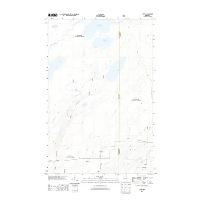 2013 Toimi2013 Print · USGSThe rural settlements of Bassett and Toimi are captured here in the early twenty-first century as they sit nestled within the Superior National Forest. Researchers can trace the layout of family-named roads like Kari Rd or locate the Bassett Cem near the headwaters of the Saint Louis River.
 - 2013 Map of Babbitt SE, 2013 Print
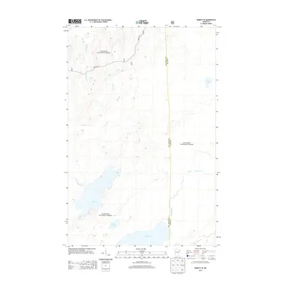 2013 Babbitt SE2013 Print · USGSNortheastern Minnesota's wilderness remains largely untouched in the early twenty-first century, centered on the lakes and wetlands of the Superior National Forest. Researchers can map the hydrologic connections between Seven Beaver Lake, Big Lake, and the Dunka River.
 - 2013 Map of Fairbanks, 2013 Print
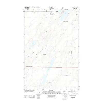 2013 Fairbanks2013 Print · USGSFairbanks and the surrounding timberlands of Saint Louis County are shown here during the early twenty-first century. Researchers can trace the layout of small settlements like Hornby and Breda or explore the waterways of Cadotte Lake and the Cloquet River.
 - 2013 Map of Allen, 2013 Print
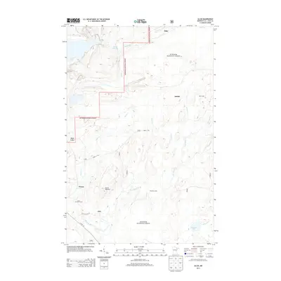 2013 Allen2013 Print · USGSThe Mesabi Range iron country in the early twenty-first century is a mix of deep forest and industrial footprints. Researchers can trace local landmarks like Moose Mountain, the winding Partridge River, and historic sites at Allen and Niemi Camp.
 - 2013 Map of Babbitt SW, 2013 Print
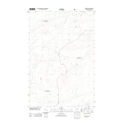 2013 Babbitt SW2013 Print · USGSSaint Louis County's northern timberlands are captured here in the early 2010s, showing a landscape defined by the Superior National Forest. Trace the winding paths of the Partridge River and Stone Lake through this complex network of streams and forest roads.
 - 2013 Map of Harris Lake, 2013 Print
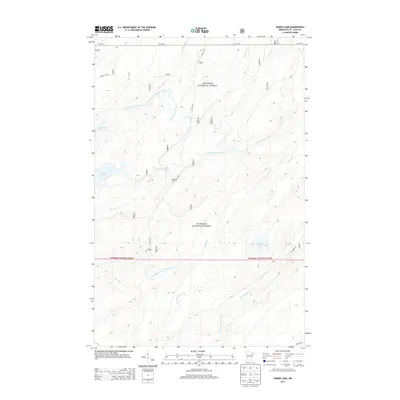 2013 Harris Lake2013 Print · USGSSaint Louis County's deep woods are documented here during the early twenty-first century, showcasing the complex water networks of the North Country. Researchers can trace the paths of Camp 26 Trl and Moose Line Rd through the Superior National Forest.
 - 2013 Map of Babbitt NE, 2013 Print
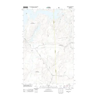 2013 Babbitt NE2013 Print · USGSUpper Minnesota's timberlands and river systems are preserved here in the early twenty-first century. Outdoorsmen and historians can trace the network of forest routes and local landmarks like Tomahawk Camp, Birch Lake, and the remote Twenty Proof Cr.
 - 2013 Map of Babbitt, 2013 Print
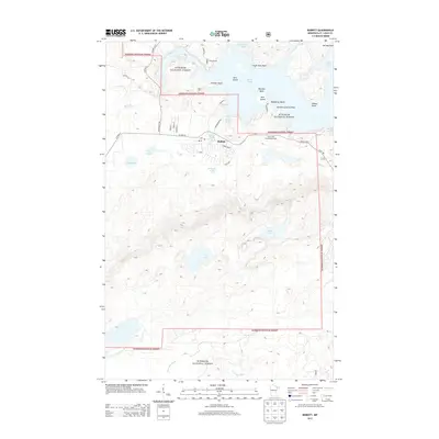 2013 Babbitt2013 Print · USGSBabbitt and the surrounding Superior National Forest are shown in detail during the early twenty-first century. Local historians can trace the town's layout and explore nearby landmarks like Camp Rivard, Argo Lake, and the winding Partridge River.
 - 2016 Map of Skibo, 2016 Print
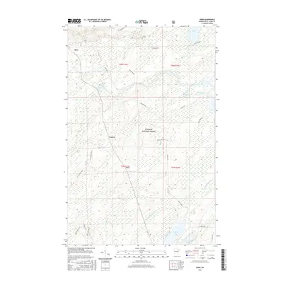 2016 Skibo2016 Print · USGSSaint Louis County's dense forest and lake country is captured here during the mid-2010s as the wilderness remains largely intact. Researchers can trace the water networks of the Saint Louis River and Whiteface River near small settlements like Skibo and Reno.
 - 2016 Map of Babbitt SW, 2016 Print
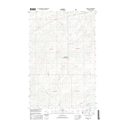 2016 Babbitt SW2016 Print · USGSThis mid-2010s survey of the Minnesota Iron Range hinterlands shows a landscape shaped by timber management and mining access. Genealogists and local historians can trace the specific routes of Dunka Mine Road and the industrial Skibo Spur G near Stone Lake.
 - 2016 Map of Babbitt NE, 2016 Print
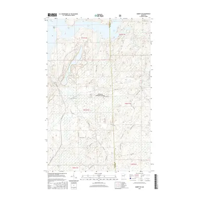 2016 Babbitt NE2016 Print · USGSThe Superior National Forest near the Lake and Saint Louis County border is shown here in the mid-2010s. Researchers can trace forest access and drainage patterns along the Stony River, Dunka Mine Road, and the curiously named Twenty Proof Cr.
Showing maps 1-25 of 55
Top cities near Bassett Township
Top neighborhoods of Bassett Township
Frequently asked questions
- What are the different types of historical maps available for Bassett Township?
- What is the oldest map of Bassett Township?
- Where can I purchase historical maps of Bassett Township for my home or office?
- Where can I download high-res historical maps of Bassett Township?
- Are there historical topographic maps available for Bassett Township?
- Is there historical aerial imagery available for Bassett Township?
- Where are historical maps of Bassett Township sourced from?