2000s (21st Century) Maps of Stearns County, Minnesota
Explore 215 historic maps of Stearns County from the 2000s (21st Century). These maps offer a rare glimpse into what life looked like during the 2000s — showing old roads, neighborhoods, homes, and landmarks that have changed or disappeared over time.
Whether you're researching your family's past, planning a metal detecting trip, or studying how Stearns County's landscape evolved across the 2000s, these high-resolution maps are a powerful tool for exploring the history of this region.
- Focus on a specific era: All maps on this page are from the 2000s, giving you a focused view of this time period.
- See what’s changed: Compare century-old streets, trails, and buildings to today's modern landscape using overlays and satellite layers.
- Research with precision: Use these maps for genealogy, historical research, land use analysis, or educational projects.
- View, download, or print: Maps are fully viewable online in high resolution, and can be downloaded or printed for your own records.
Start exploring Stearns County's history through authentic maps from the 2000s. This is your window into the past.
Stearns County, MN maps
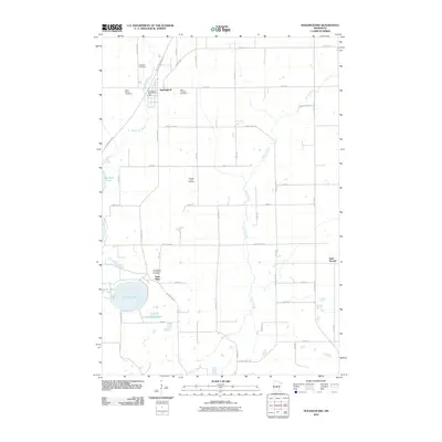
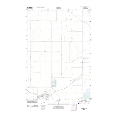
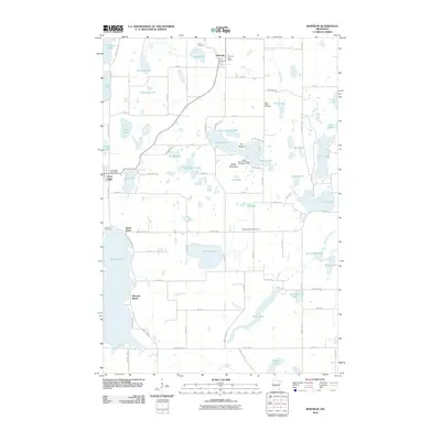
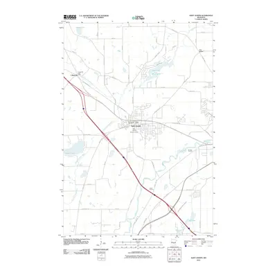
(215)- 2010 Map of Freeport, 2010 Print
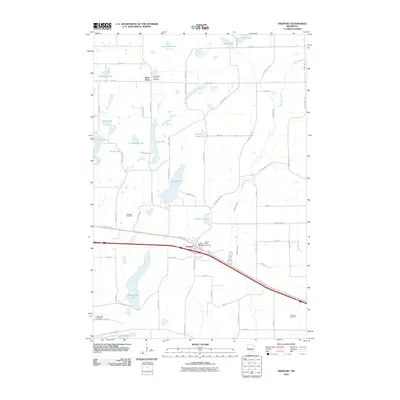 2010 Freeport2010 Print · USGSCovers Stearns County, including Freeport, New Munich, and other nearby areas
 - 2010 Map of South Haven, 2010 Print
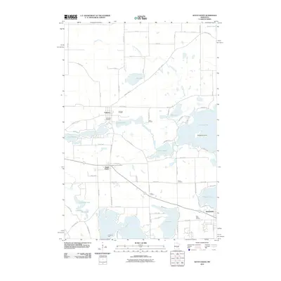 2010 South Haven2010 Print · USGSCovers Stearns County, including Annandale, South Haven, and other nearby areas
 - 2010 Map of Little Rock Lake, 2010 Print
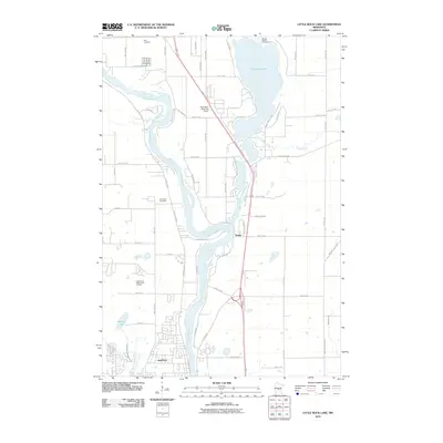 2010 Little Rock Lake2010 Print · USGSCovers Stearns County, including Sartell, Watab, and other nearby areas
 - 2010 Map of Clearwater, 2010 Print
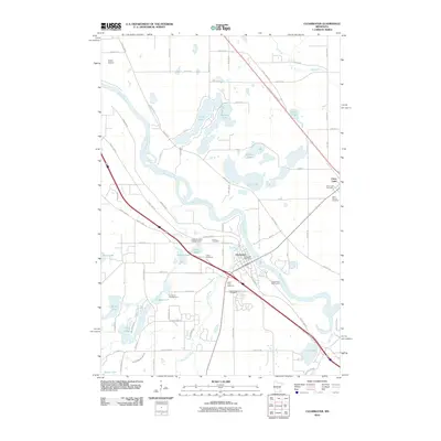 2010 Clearwater2010 Print · USGSCovers Stearns County, including St. Cloud, Clearwater, and other nearby areas
 - 2010 Map of Holdingford, 2010 Print
 2010 Holdingford2010 Print · USGSCovers Stearns County, including Avon, Holdingford, and other nearby areas
 - 2010 Map of Saint Augusta, 2010 Print
 2010 Saint Augusta2010 Print · USGSCovers Stearns County, including St. Cloud, Saint Augusta, and other nearby areas
 - 2010 Map of Royalton, 2010 Print
 2010 Royalton2010 Print · USGSCovers Stearns County, including Rice, Royalton, and other nearby areas
 - 2010 Map of Annandale, 2010 Print
 2010 Annandale2010 Print · USGSCovers Stearns County, including Annandale, Clearwater Township, and other nearby areas
 - 2010 Map of Greenwald, 2010 Print
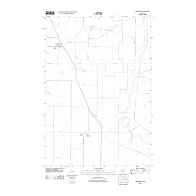 2010 Greenwald2010 Print · USGSCovers Stearns County, including New Munich, Greenwald, and other nearby areas
 - 2010 Map of Avon, 2010 Print
 2010 Avon2010 Print · USGSCovers Stearns County, including Rockville, Avon, and other nearby areas
 - 2010 Map of Melrose, 2010 Print
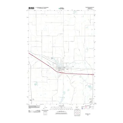 2010 Melrose2010 Print · USGSCovers Stearns County, including Melrose, New Munich, and other nearby areas
 - 2010 Map of Bowlus, 2010 Print
 2010 Bowlus2010 Print · USGSCovers Stearns County, including Bowlus, Elmdale, and other nearby areas
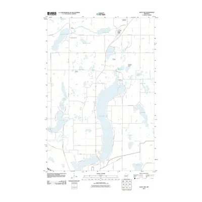
 - 2010 Map of Lake Koronis, 2010 Print
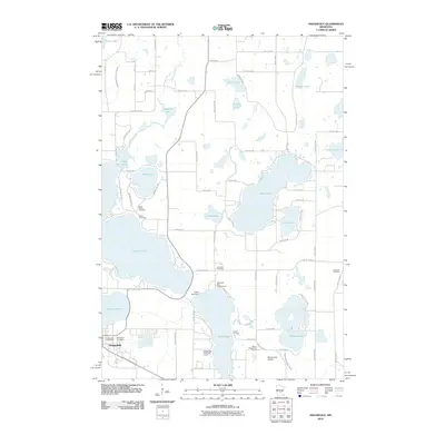
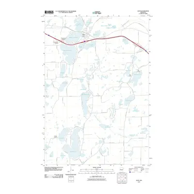
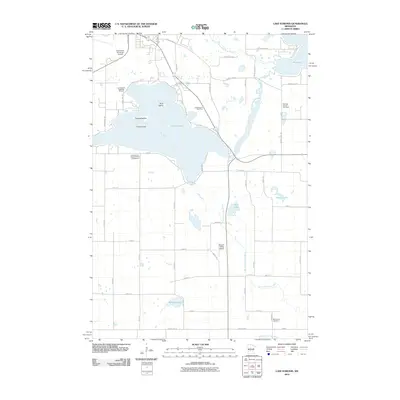 2010 Lake Koronis2010 Print · USGSCovers Stearns County, including Paynesville, Eden Lake Township, and other nearby areas
 - 2010 Map of Paynesville, 2010 Print
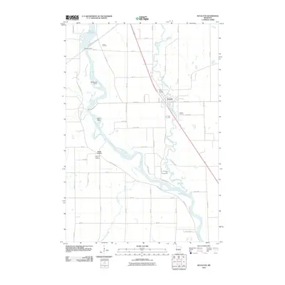
 2010 Paynesville2010 Print · USGSCovers Stearns County, including Paynesville, Roscoe, and other nearby areas
 - 2010 Map of Watkins, 2010 Print
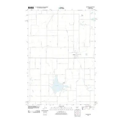 2010 Watkins2010 Print · USGSCovers Stearns County, including Watkins, Luxemburg Township, and other nearby areas
 - 2010 Map of Cold Spring, 2010 Print
 2010 Cold Spring2010 Print · USGSCovers Stearns County, including Cold Spring, Rockville, and other nearby areas
 - 2010 Map of Burtrum, 2010 Print
 2010 Burtrum2010 Print · USGSCovers Stearns County, including Grey Eagle, Burtrum, and other nearby areas
 - 2010 Map of Saint Martin, 2010 Print
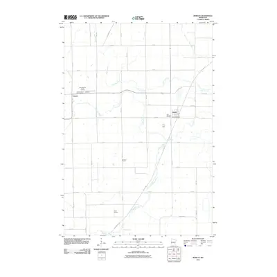
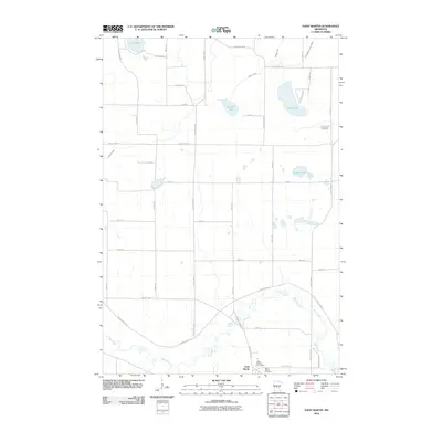 2010 Saint Martin2010 Print · USGSCovers Stearns County, including New Munich, Saint Martin, and other nearby areas
 - 2010 Map of Albany, 2010 Print
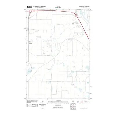
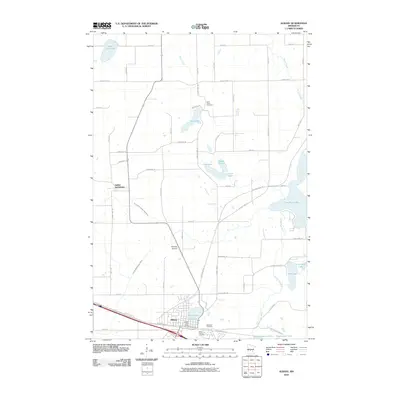 2010 Albany2010 Print · USGSCovers Stearns County, including Albany, St. Anthony, and other nearby areas
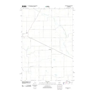
 - 2010 Map of Farming, 2010 Print
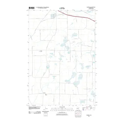 2010 Farming2010 Print · USGSCovers Stearns County, including Albany, Avon, and other nearby areas
 - 2010 Map of Saint Joseph, 2010 Print
 2010 Saint Joseph2010 Print · USGSCovers Stearns County, including St. Cloud, Sartell, and other nearby areas
 - 2010 Map of Georgeville, 2010 Print
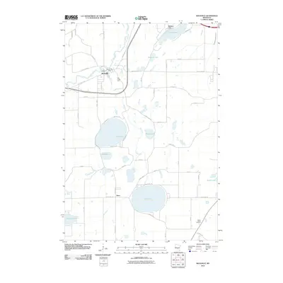
 2010 Georgeville2010 Print · USGSCovers Stearns County, including Belgrade, Georgeville, and other nearby areas
 - 2010 Map of Rockville, 2010 Print
 2010 Rockville2010 Print · USGSCovers Stearns County, including St. Cloud, Rockville, and other nearby areas
 - 2010 Map of Sauk Lake, 2010 Print
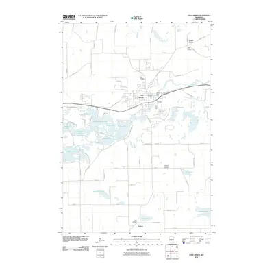
 2010 Sauk Lake2010 Print · USGSCovers Stearns County, including Sauk Centre, Little Sauk, and other nearby areas
 - 2010 Map of Ward Springs, 2010 Print
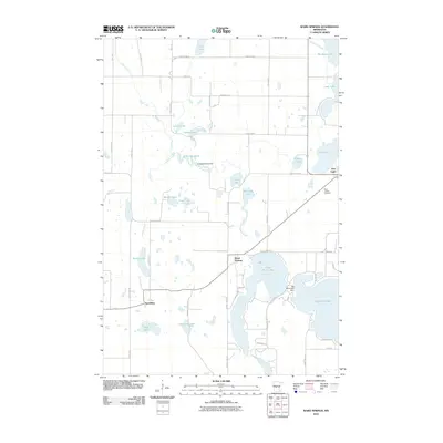 2010 Ward Springs2010 Print · USGSCovers Stearns County, including Grey Eagle, Ward Springs, and other nearby areas
Showing maps 1-25 of 215
Top cities of Stearns County
- Sartell historical maps
- Waite Park historical maps
- Sauk Centre historical maps
- Cold Spring historical maps
- Melrose historical maps
- Rockville historical maps
See more
Frequently asked questions
- What are the different types of historical maps available for Stearns County?
- What is the oldest map of Stearns County?
- Where can I purchase historical maps of Stearns County for my home or office?
- Where can I download high-res historical maps of Stearns County?
- Are there historical topographic maps available for Stearns County?
- Is there historical aerial imagery available for Stearns County?
- Where are historical maps of Stearns County sourced from?