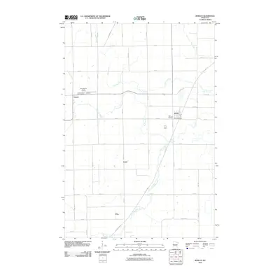
2010 Map of Bowlus
USGS Topo · Published 2010About this map
Bowlus and Elmdale serve as the primary hubs in this part of Morrison County, where the landscape is defined by the complex branching of the Two River. The hydrology of the area is intricately mapped, featuring the North Two River, South Two River, and Little Two River, alongside smaller tributaries like Meadow Creek and Hay Creek. This 2010 survey highlights a significant concentration of religious and genealogical sites, including Saint Edward's Church and several distinct burial grounds such as the Danish Lutheran Cemetery and Free Evangelical Cemetery. The transition of former rail corridors into recreational infrastructure is evident with the Soo Line Trl and Lake Wobegon Trl cutting through the countryside. Near the southern edge, Fedor Airport provides a point of interest for aviation history within this predominantly agricultural and riparian setting.
Find a feature on this map
48 named features on this map. Tap any name to fly to it.
Don’t see what you’re looking for? This feature index may not catch every label — zoom into the map to look around manually.
Map Details
Editions of this 2010 Bowlus Map
This is the sole edition of this map. No revisions or reprints were ever made.
Other maps of this area

1947 · Flensburg
USGS Topo · 1:25,000

1948 · Little Falls
USGS Topo · 1:62,500

1950 · Swanville
USGS Topo · 1:62,500

1950 · Little Falls
USGS Topo · 1:62,500

1951 · Flensburg
USGS Topo · 1:25,000

1953 · Saint Cloud
USGS Topo · 1:250,000

1957 · Saint Cloud
USGS Topo · 1:250,000

1958 · Saint Cloud
USGS Topo · 1:250,000

1965 · Albany
USGS Topo · 1:24,000

1965 · St Stephen
USGS Topo · 1:24,000