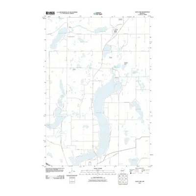
2010 Map of Sauk Lake
USGS Topo · Published 2010About this map
Sauk Lake dominates this Central Minnesota landscape, stretching north from the outskirts of Sauk Centre through a terrain defined by glacial basins and prairie remnants. The settlement of Little Sauk serves as a northern anchor, where the Little Sauk Post Office and local landmarks like the Little Sauk Cemetery point to generations of community history. The area is dense with smaller water bodies, including Juergens Lake and Fairy Lake, many of which are connected by the winding Sauk River and Ashley Creek.
Find a feature on this map
53 named features on this map. Tap any name to fly to it.
Don’t see what you’re looking for? This feature index may not catch every label — zoom into the map to look around manually.
Map Details
Editions of this 2010 Sauk Lake Map
This is the sole edition of this map. No revisions or reprints were ever made.
Other maps of this area

1953 · Saint Cloud
USGS Topo · 1:250,000

1957 · Saint Cloud
USGS Topo · 1:250,000

1958 · Saint Cloud
USGS Topo · 1:250,000

1965 · Sauk Centre
USGS Topo · 1:24,000

1965 · Melrose
USGS Topo · 1:24,000

1965 · Raymond Lake
USGS Topo · 1:24,000

1966 · West Union
USGS Topo · 1:24,000
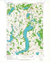
1966 · Sauk Lake
USGS Topo · 1:24,000
1966 · Long Prairie
USGS Topo · 1:24,000

1966 · Lake Osakis East
USGS Topo · 1:24,000