2020s Maps of Grenada County, Mississippi
Explore 28 historic maps of Grenada County from the 2020s. These maps offer a rare glimpse into what life looked like during the 2020s — showing old roads, neighborhoods, homes, and landmarks that have changed or disappeared over time.
Whether you're researching your family's past, planning a metal detecting trip, or studying how Grenada County's landscape evolved across the 2020s, these high-resolution maps are a powerful tool for exploring the history of this region.
- Focus on a specific era: All maps on this page are from the 2020s, giving you a focused view of this time period.
- See what’s changed: Compare century-old streets, trails, and buildings to today's modern landscape using overlays and satellite layers.
- Research with precision: Use these maps for genealogy, historical research, land use analysis, or educational projects.
- View, download, or print: Maps are fully viewable online in high resolution, and can be downloaded or printed for your own records.
Start exploring Grenada County's history through authentic maps from the 2020s. This is your window into the past.
Grenada County, MS maps
(28)- 2020 Map of Holcomb, 2020 Print
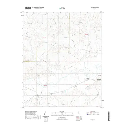 2020 Holcomb2020 Print · USGSCovers Grenada County, including Grenada, Dubard, and other nearby areas
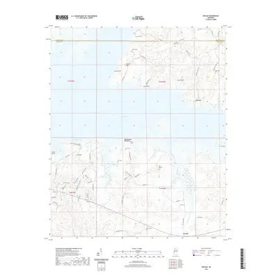
 - 2020 Map of Grenada, 2020 Print
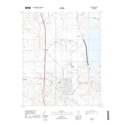 2020 Grenada2020 Print · USGSCovers Grenada County, including Grenada, Grenada Landing, and other nearby areas
 - 2020 Map of Gore Springs, 2020 Print
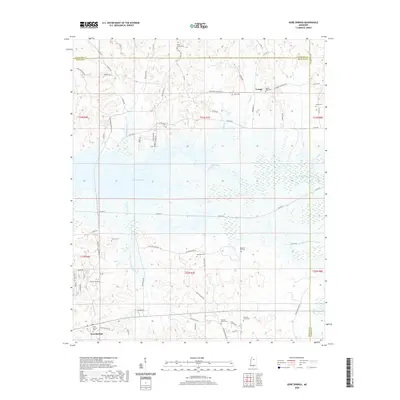 2020 Gore Springs2020 Print · USGSCovers Grenada County, including Susie, Youngs, and other nearby areas
 - 2020 Map of Sweatman, 2020 Print
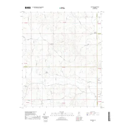 2020 Sweatman2020 Print · USGSCovers Grenada County, including Alva, Redding, and other nearby areas
 - 2020 Map of Jefferson, 2020 Print
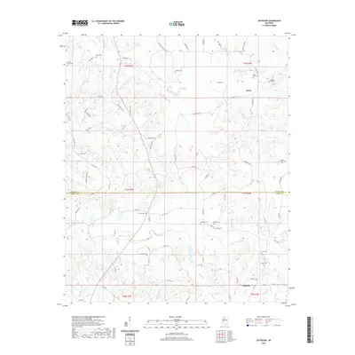 2020 Jefferson2020 Print · USGSCovers Grenada County, including Nason, Jefferson, and other nearby areas
 - 2020 Map of Tie Plant, 2020 Print
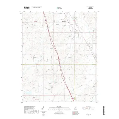 2020 Tie Plant2020 Print · USGSCovers Grenada County, including Grenada, Elliott, and other nearby areas
 - 2020 Map of Kincaid, 2020 Print
 2020 Kincaid2020 Print · USGSCovers Grenada County, including Hurricane Branch, Kincaid, and other nearby areas
 - 2020 Map of Cascilla, 2020 Print
 2020 Cascilla2020 Print · USGSCovers Grenada County, including Cascilla, Oxberry, and other nearby areas
 - 2020 Map of Philipp, 2020 Print
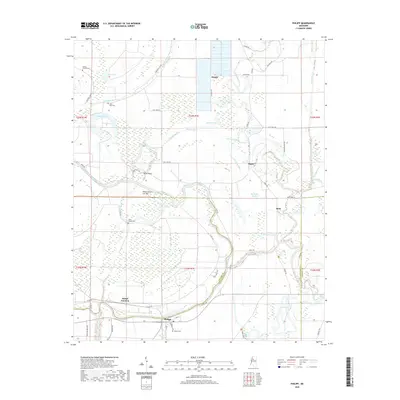 2020 Philipp2020 Print · USGSCovers Grenada County, including Mehr, Sisloff Junction, and other nearby areas
 - 2020 Map of Money, 2020 Print
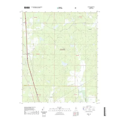
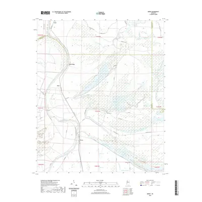 2020 Money2020 Print · USGSCovers Grenada County, including Money, Ruby, and other nearby areas
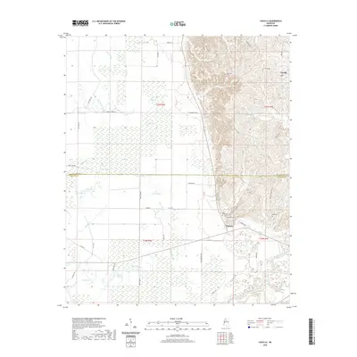
 - 2020 Map of Avalon, 2020 Print
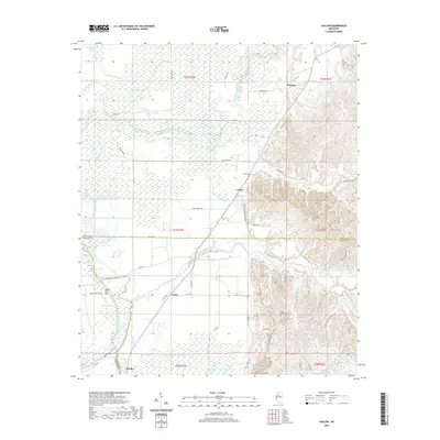 2020 Avalon2020 Print · USGSCovers Grenada County, including Avalon, Parsons, and other nearby areas
 - 2021 Map of Duck Hill, 2021 Print
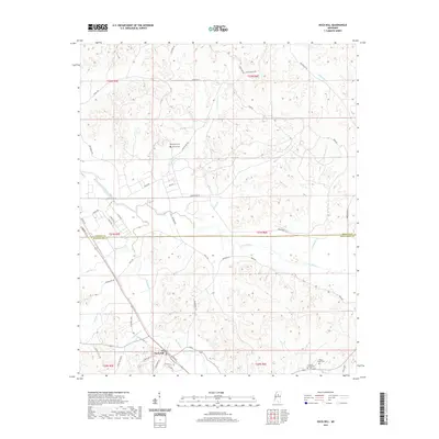 2021 Duck Hill2021 Print · USGSCovers Grenada County, including Duck Hill, Montgomery County, and other nearby areas
 - 2021 Map of Scobey, 2021 Print
 2021 Scobey2021 Print · USGSCovers Grenada County, including Hardy, Scobey, and other nearby areas
 - 2021 Map of Tillatoba, 2021 Print
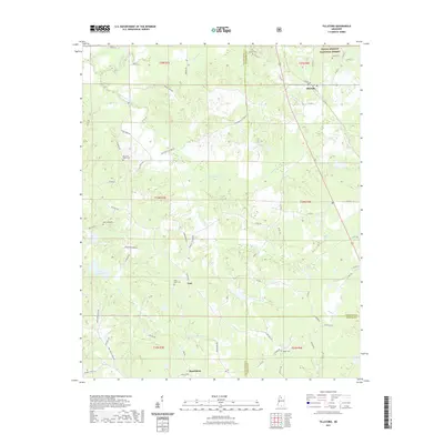 2021 Tillatoba2021 Print · USGSCovers Grenada County, including Rosebloom, Tillatoba, and other nearby areas
 - 2024 Map of Duck Hill, 2024 Print
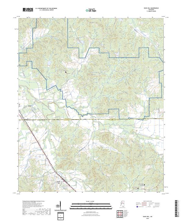 2024 Duck Hill2024 Print · USGSThe borderlands of Grenada and Montgomery Counties come into focus in this contemporary survey of north-central Mississippi. Researchers can locate family landmarks like Purnell Cem and Bethlehem Cem or trace the winding course of Batupan Bogue.
 - 2024 Map of Sweatman, 2024 Print
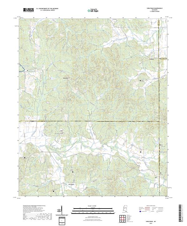 2024 Sweatman2024 Print · USGSThe hill country of north-central Mississippi is documented here at the convergence of four counties. Researchers can locate numerous family burial grounds and upland settlements like Sweatman, Alva, and the Red Hill Church Cem tucked among the drainages of Little Bogue.
 - 2024 Map of Holcomb, 2024 Print
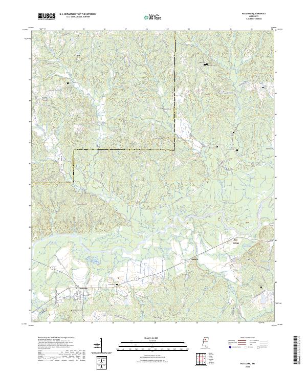 2024 Holcomb2024 Print · USGSThe community of Holcomb and the surrounding river bottomlands are captured here in the contemporary era. Researchers can trace historic family burial sites like Tascohomo Cem and Mcswine Cem alongside the Canadian National Railway.
 - 2024 Map of Scobey, 2024 Print
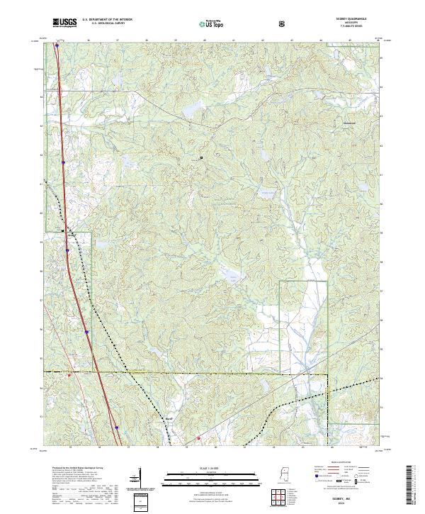 2024 Scobey2024 Print · USGSYalobusha and Grenada counties meet in this quiet stretch of north-central Mississippi, centered on the Holly Springs National Forest. Researchers can trace the rural communities of Scobey, Hardy, and Gatewood and locate landmarks like Jehovah Cem.
 - 2024 Map of Avalon, 2024 Print
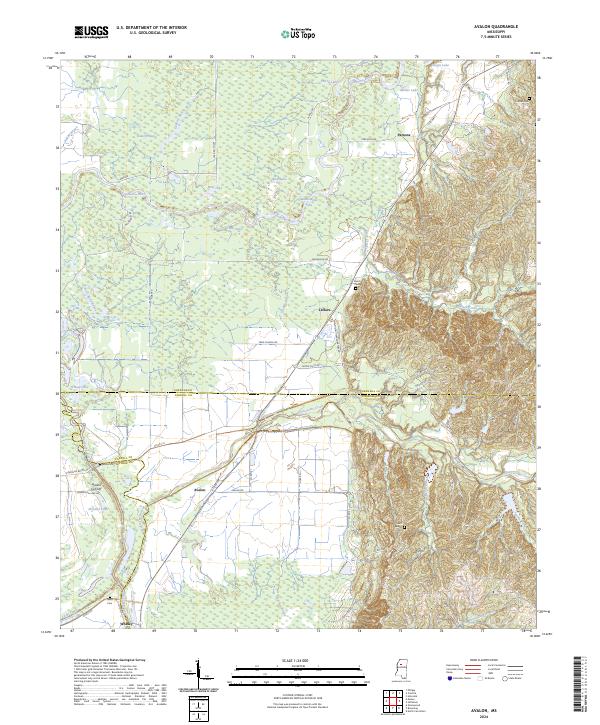 2024 Avalon2024 Print · USGSThe Yalobusha River floodplain and the rising hills of the Mississippi interior meet here in this recent survey. Local historians can trace family roots through sites like Shiloh Cem and Neals Cem, or explore the settlements of Avalon and Leflore.
 - 2024 Map of Gore Springs, 2024 Print
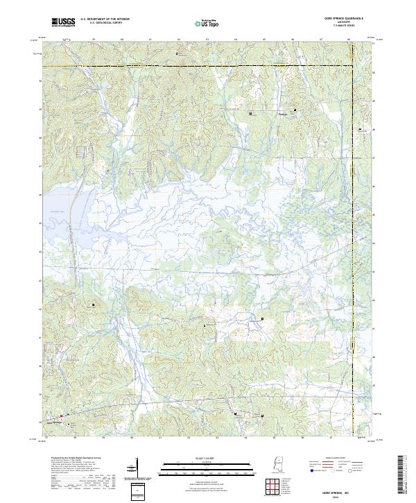 2024 Gore Springs2024 Print · USGSThe Grenada County backcountry near the Yalobusha River is shown here as it appears today, centered on rural life and the local drainage basins. Genealogists can locate several family burial sites including Williams Cem, Parker Cem, and Gore Springs Cem.
 - 2024 Map of Cascilla, 2024 Print
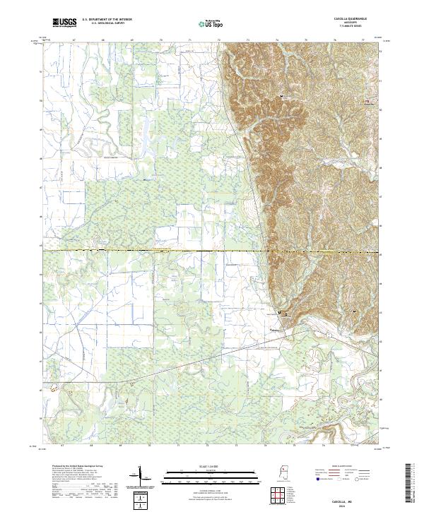 2024 Cascilla2024 Print · USGSTallahatchie and Grenada counties are documented here in the 2020s, where the Mississippi delta wetlands meet the eastern hills. Researchers can locate legacy sites like Chochuma Ferry, Oxberry Cem, and the settlement of Cascilla.
 - 2024 Map of Money, 2024 Print
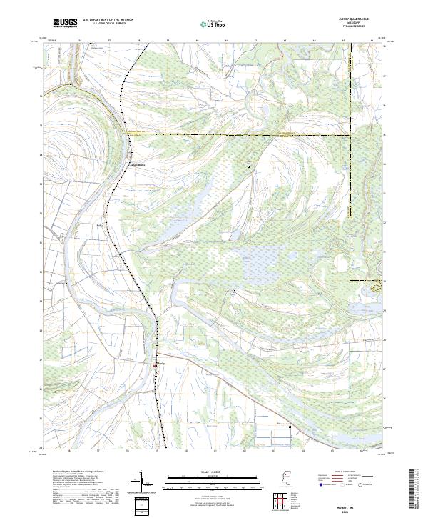 2024 Money2024 Print · USGSMississippi Delta life in the early twenty-first century is centered on the Tallahatchie River and its intricate bayou network. Researchers can trace local heritage at Lanes Cem, the settlement of Money, and the marshy expanses of McIntyre Scatters.
 - 2024 Map of Tie Plant, 2024 Print
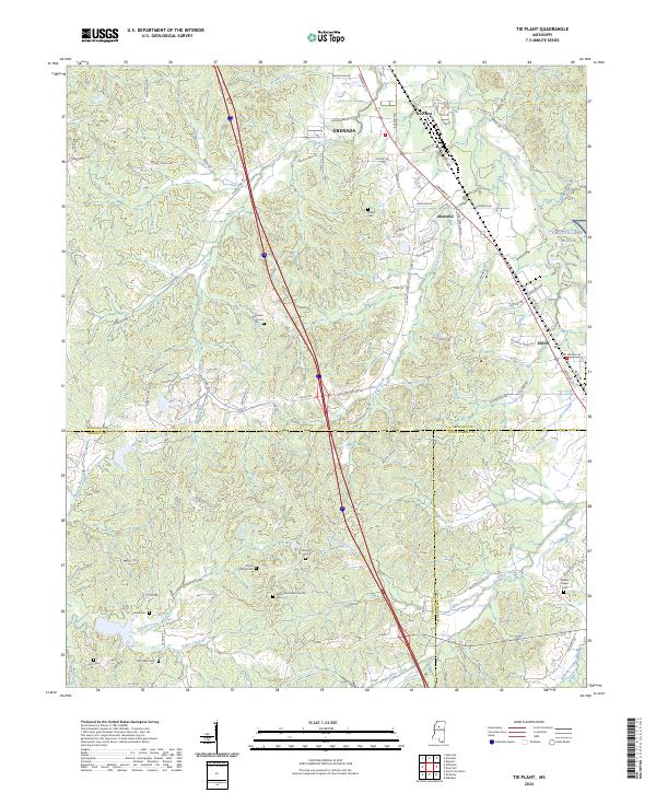 2024 Tie Plant2024 Print · USGSGrenada County at the meeting of Carroll and Montgomery counties shows a landscape of long-established rural churches and family cemeteries. Genealogists can trace family names at Hardiman Cem, Old Salem Cem, or the area surrounding Elliott.
 - 2024 Map of Jefferson, 2024 Print
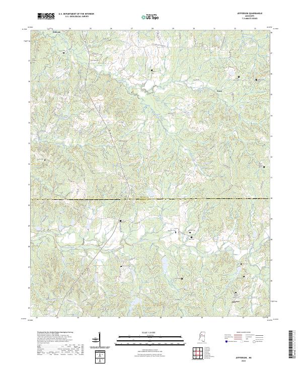 2024 Jefferson2024 Print · USGSGrenada and Carroll Counties are shown here in the 2020s, preserving a rural landscape defined by historic family cemeteries and small creek-side settlements. Genealogists can locate numerous burial sites including Emmons Cemetery, Bunion Cemetery, and Beard Cemetery near Holcomb.
 - 2024 Map of Philipp, 2024 Print
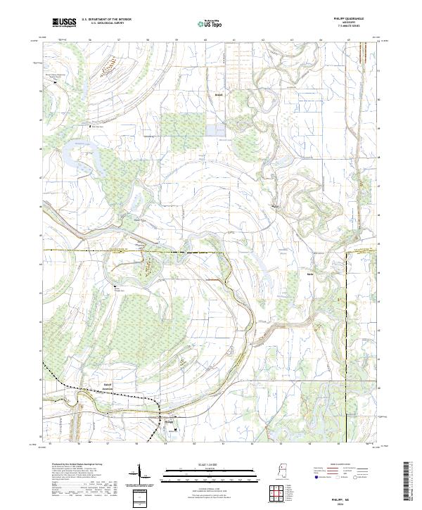 2024 Philipp2024 Print · USGSThe Mississippi Delta's winding waterways and small settlements are captured here in the 2020s. Researchers can trace family history at Bethel Cem and Jones Chapel Cem, or explore the riparian landscape around Philipp and the Tallahatchie River.
Showing maps 1-25 of 28
Top cities of Grenada County
Frequently asked questions
- What are the different types of historical maps available for Grenada County?
- What is the oldest map of Grenada County?
- Where can I purchase historical maps of Grenada County for my home or office?
- Where can I download high-res historical maps of Grenada County?
- Are there historical topographic maps available for Grenada County?
- Is there historical aerial imagery available for Grenada County?
- Where are historical maps of Grenada County sourced from?