2000s (21st Century) Maps of Grenada County, Mississippi
Explore 72 historic maps of Grenada County from the 2000s (21st Century). These maps offer a rare glimpse into what life looked like during the 2000s — showing old roads, neighborhoods, homes, and landmarks that have changed or disappeared over time.
Whether you're researching your family's past, planning a metal detecting trip, or studying how Grenada County's landscape evolved across the 2000s, these high-resolution maps are a powerful tool for exploring the history of this region.
- Focus on a specific era: All maps on this page are from the 2000s, giving you a focused view of this time period.
- See what’s changed: Compare century-old streets, trails, and buildings to today's modern landscape using overlays and satellite layers.
- Research with precision: Use these maps for genealogy, historical research, land use analysis, or educational projects.
- View, download, or print: Maps are fully viewable online in high resolution, and can be downloaded or printed for your own records.
Start exploring Grenada County's history through authentic maps from the 2000s. This is your window into the past.
Grenada County, MS maps
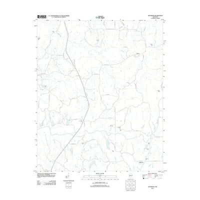
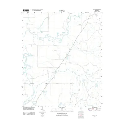
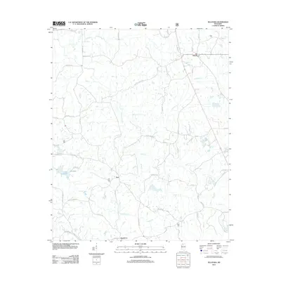
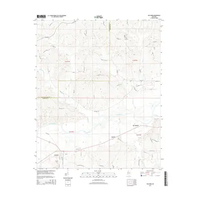
(72)- 2000 Map of Scobey, 2003 Print
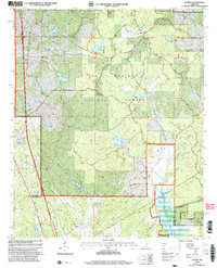 2000 Scobey2003 Print · USGSThe hills of Yalobusha and Grenada Counties are captured here at the turn of the millennium, centered on the Holly Springs National Forest. Genealogists and local historians can trace the Illinois Central Gulf rail line through Scobey and Hardy, or locate rural landmarks like Jehovah Ch.
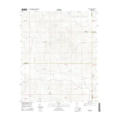
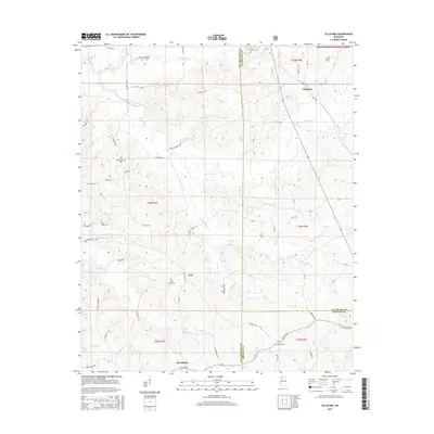
 - 2000 Map of Tillatoba, 2003 Print
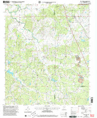 2000 Tillatoba2003 Print · USGSNorth Mississippi's rural landscape is captured here at the turn of the century, showing the intersection of three counties. Genealogists can trace family roots through numerous sites like Mt Olive Ch Cem, Baker Cem, and the small settlement of Rosebloom.
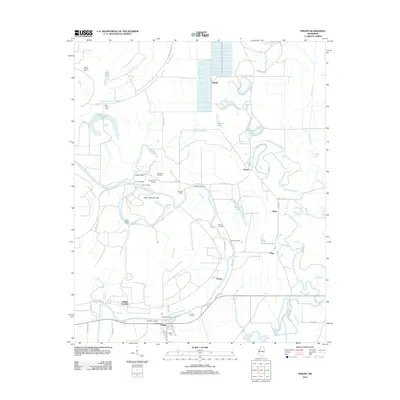
 - 2012 Map of Gore Springs, 2012 Print
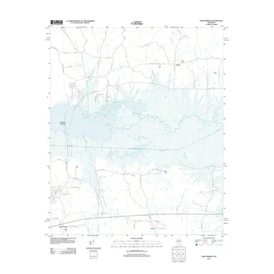 2012 Gore Springs2012 Print · USGSCovers Grenada County, including Susie, Youngs, and other nearby areas
 - 2012 Map of Kincaid, 2012 Print
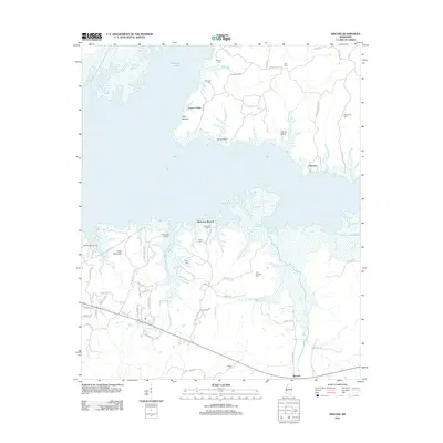 2012 Kincaid2012 Print · USGSCovers Grenada County, including Hurricane Branch, Kincaid, and other nearby areas
 - 2012 Map of Jefferson, 2012 Print
 2012 Jefferson2012 Print · USGSCovers Grenada County, including Nason, Jefferson, and other nearby areas
 - 2012 Map of Money, 2012 Print
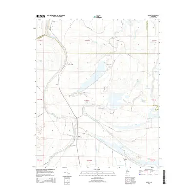
 2012 Money2012 Print · USGSCovers Grenada County, including Money, Ruby, and other nearby areas
 - 2012 Map of Scobey, 2012 Print
 2012 Scobey2012 Print · USGSCovers Grenada County, including Hardy, Scobey, and other nearby areas
 - 2012 Map of Cascilla, 2012 Print
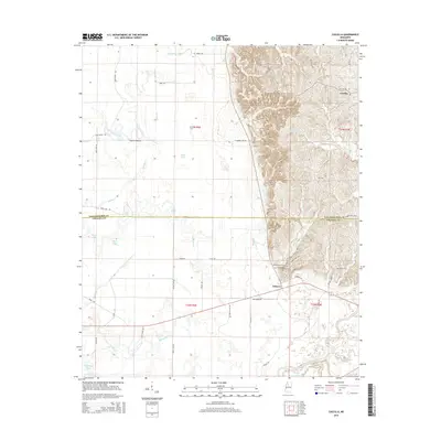
 2012 Cascilla2012 Print · USGSCovers Grenada County, including Cascilla, Oxberry, and other nearby areas
 - 2012 Map of Avalon, 2012 Print
 2012 Avalon2012 Print · USGSCovers Grenada County, including Avalon, Parsons, and other nearby areas
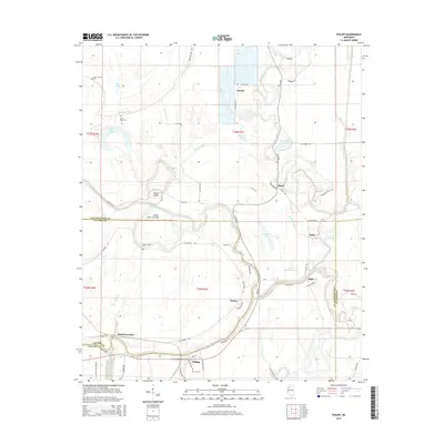
 - 2012 Map of Philipp, 2012 Print
 2012 Philipp2012 Print · USGSCovers Grenada County, including Mehr, Sisloff Junction, and other nearby areas
 - 2012 Map of Holcomb, 2012 Print
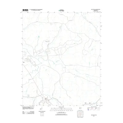
 2012 Holcomb2012 Print · USGSCovers Grenada County, including Grenada, Dubard, and other nearby areas
 - 2012 Map of Grenada, 2012 Print
 2012 Grenada2012 Print · USGSCovers Grenada County, including Grenada, Grenada Landing, and other nearby areas
 - 2012 Map of Tillatoba, 2012 Print
 2012 Tillatoba2012 Print · USGSCovers Grenada County, including Rosebloom, Tillatoba, and other nearby areas
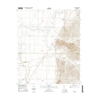
 - 2012 Map of Duck Hill, 2012 Print
 2012 Duck Hill2012 Print · USGSCovers Grenada County, including Duck Hill, Montgomery County, and other nearby areas
 - 2012 Map of Sweatman, 2012 Print
 2012 Sweatman2012 Print · USGSCovers Grenada County, including Alva, Redding, and other nearby areas
 - 2012 Map of Tie Plant, 2012 Print
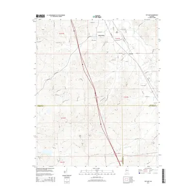
 2012 Tie Plant2012 Print · USGSCovers Grenada County, including Grenada, Elliott, and other nearby areas
 - 2015 Map of Holcomb, 2015 Print
 2015 Holcomb2015 Print · USGSCovers Grenada County, including Grenada, Dubard, and other nearby areas
 - 2015 Map of Gore Springs, 2015 Print
 2015 Gore Springs2015 Print · USGSCovers Grenada County, including Susie, Youngs, and other nearby areas
 - 2015 Map of Sweatman, 2015 Print
 2015 Sweatman2015 Print · USGSCovers Grenada County, including Alva, Redding, and other nearby areas
 - 2015 Map of Philipp, 2015 Print
 2015 Philipp2015 Print · USGSCovers Grenada County, including Mehr, Sisloff Junction, and other nearby areas
 - 2015 Map of Avalon, 2015 Print
 2015 Avalon2015 Print · USGSCovers Grenada County, including Avalon, Parsons, and other nearby areas
 - 2015 Map of Cascilla, 2015 Print
 2015 Cascilla2015 Print · USGSCovers Grenada County, including Cascilla, Oxberry, and other nearby areas
 - 2015 Map of Money, 2015 Print
 2015 Money2015 Print · USGSCovers Grenada County, including Money, Ruby, and other nearby areas
 - 2015 Map of Tie Plant, 2015 Print
 2015 Tie Plant2015 Print · USGSCovers Grenada County, including Grenada, Elliott, and other nearby areas
 - 2015 Map of Tillatoba, 2015 Print
 2015 Tillatoba2015 Print · USGSCovers Grenada County, including Rosebloom, Tillatoba, and other nearby areas
Showing maps 1-25 of 72
Top cities of Grenada County
Frequently asked questions
- What are the different types of historical maps available for Grenada County?
- What is the oldest map of Grenada County?
- Where can I purchase historical maps of Grenada County for my home or office?
- Where can I download high-res historical maps of Grenada County?
- Are there historical topographic maps available for Grenada County?
- Is there historical aerial imagery available for Grenada County?
- Where are historical maps of Grenada County sourced from?