2020s Maps of Hancock County, Mississippi
Explore 34 historic maps of Hancock County from the 2020s. These maps offer a rare glimpse into what life looked like during the 2020s — showing old roads, neighborhoods, homes, and landmarks that have changed or disappeared over time.
Whether you're researching your family's past, planning a metal detecting trip, or studying how Hancock County's landscape evolved across the 2020s, these high-resolution maps are a powerful tool for exploring the history of this region.
- Focus on a specific era: All maps on this page are from the 2020s, giving you a focused view of this time period.
- See what’s changed: Compare century-old streets, trails, and buildings to today's modern landscape using overlays and satellite layers.
- Research with precision: Use these maps for genealogy, historical research, land use analysis, or educational projects.
- View, download, or print: Maps are fully viewable online in high resolution, and can be downloaded or printed for your own records.
Start exploring Hancock County's history through authentic maps from the 2020s. This is your window into the past.
Hancock County, MS maps
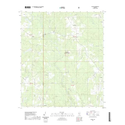
(34)- 2020 Map of English Lookout, 2020 Print
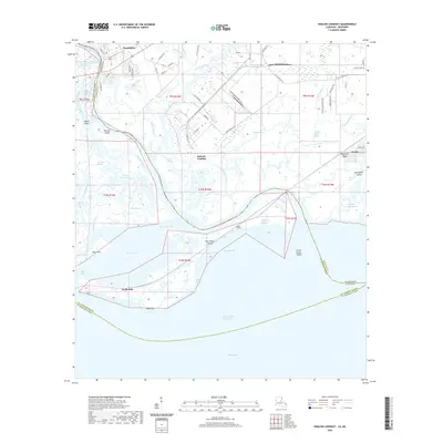 2020 English Lookout2020 Print · USGSCovers Hancock County, including Pearlington, North Side, and other nearby areas
 - 2020 Map of Haaswood, 2020 Print
 2020 Haaswood2020 Print · USGSCovers Hancock County, including Slidell, Davis Landing, and other nearby areas
 - 2020 Map of Kiln, 2020 Print
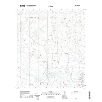 2020 Kiln2020 Print · USGSCovers Hancock County, including Diamondhead, Wiehe, and other nearby areas
 - 2020 Map of Picayune, 2020 Print
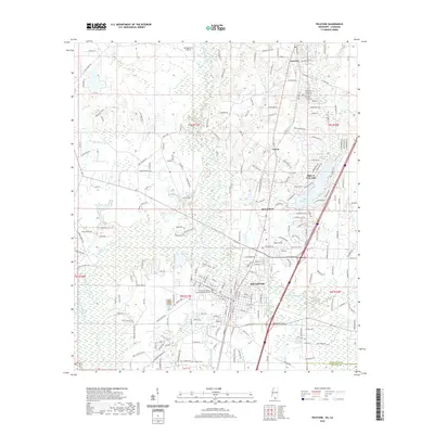 2020 Picayune2020 Print · USGSCovers Hancock County, including Picayune, Richardson, and other nearby areas
 - 2020 Map of Bay Saint Louis, 2020 Print
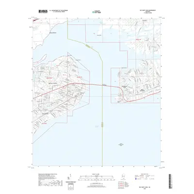 2020 Bay Saint Louis2020 Print · USGSCovers Hancock County, including Diamondhead, Bay Saint Louis, and other nearby areas
 - 2020 Map of Savannah, 2020 Print
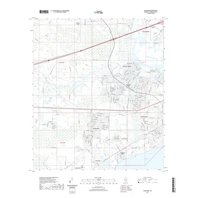
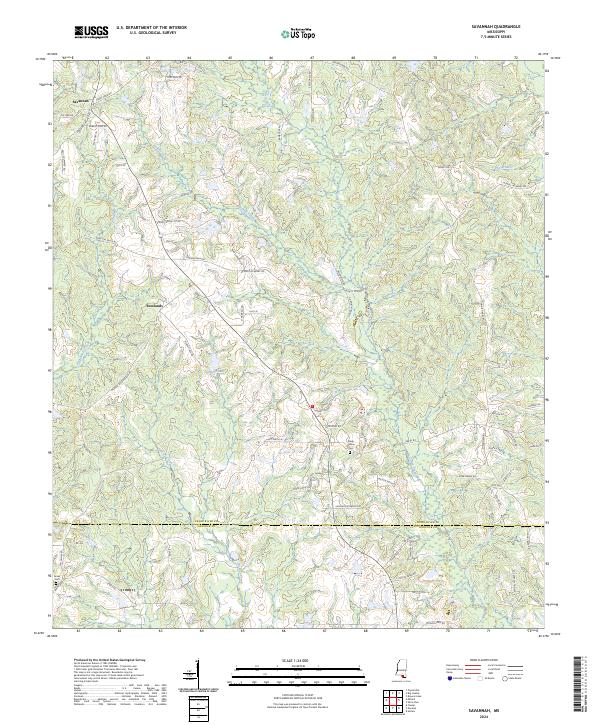
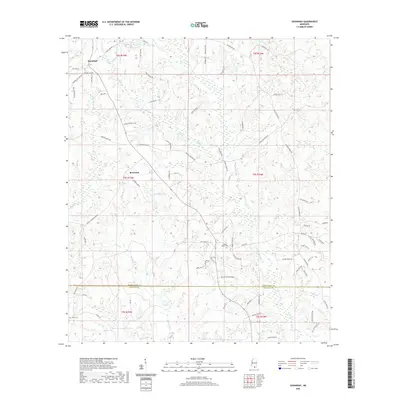 2020 Savannah2020 Print · USGSCovers Hancock County, including Savannah, New Camp Rowlands, and other nearby areas
 - 2020 Map of Caesar, 2020 Print
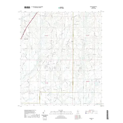 2020 Caesar2020 Print · USGSCovers Hancock County, including Leetown, Caesar, and other nearby areas
 - 2020 Map of Dead Tiger Creek, 2020 Print
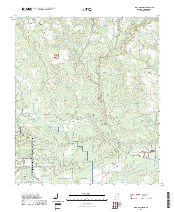
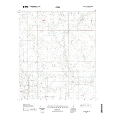 2020 Dead Tiger Creek2020 Print · USGSCovers Hancock County, including Flat Top, United States, and other nearby areas
 - 2020 Map of Necaise, 2020 Print
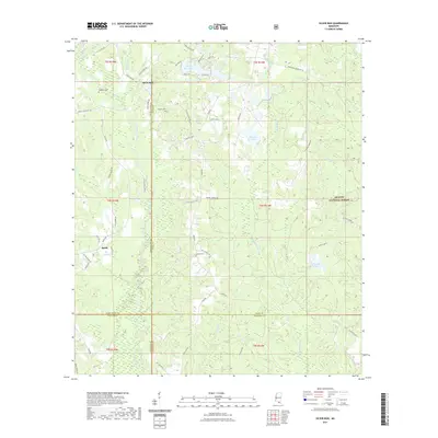
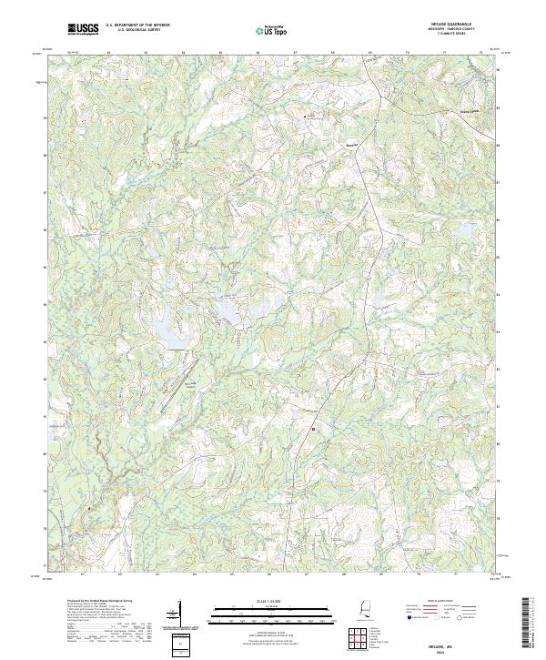
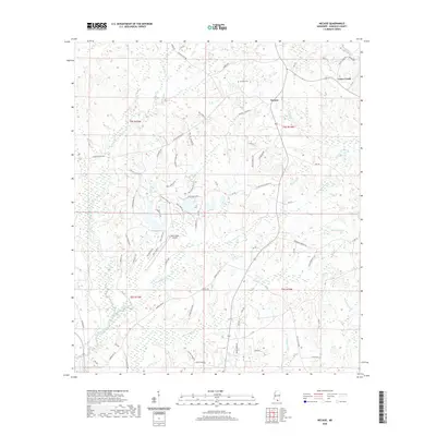 2020 Necaise2020 Print · USGSCovers Hancock County, including Crane Creek, Standard, and other nearby areas
 - 2021 Map of Millard, 2021 Print
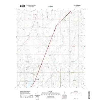 2021 Millard2021 Print · USGSCovers Hancock County, including Millard, Tyler, and other nearby areas
 - 2021 Map of Logtown, 2021 Print
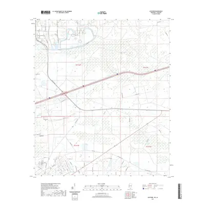 2021 Logtown2021 Print · USGSCovers Hancock County, including Logtown, St. Tammany Parish, and other nearby areas
 - 2021 Map of Dedeaux, 2021 Print
 2021 Dedeaux2021 Print · USGSCovers Hancock County, including Diamondhead, De Lisle, and other nearby areas
 - 2021 Map of Nicholson, 2021 Print
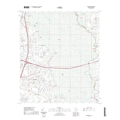
 2021 Nicholson2021 Print · USGSCovers Hancock County, including Picayune, Pearl River, and other nearby areas
 - 2021 Map of Waveland, 2021 Print
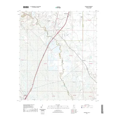
 2021 Waveland2021 Print · USGSCovers Hancock County, including Diamondhead, Bay Saint Louis, and other nearby areas
 - 2021 Map of Saint Joe Pass, 2021 Print
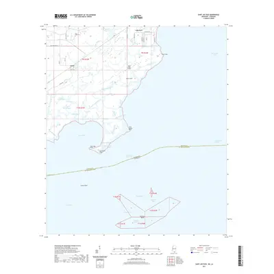 2021 Saint Joe Pass2021 Print · USGSCovers Hancock County, including Lakeshore, Ansley, and other nearby areas
 - 2021 Map of Silver Run, 2021 Print
 2021 Silver Run2021 Print · USGSCovers Hancock County, including Silver Run, Barth, and other nearby areas
 - 2021 Map of Sellers, 2021 Print
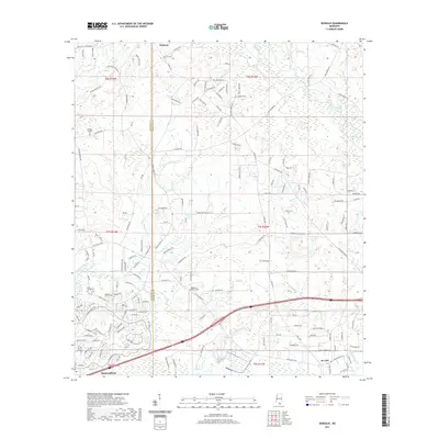
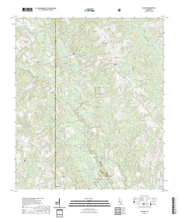
 2021 Sellers2021 Print · USGSCovers Hancock County, including Riceville, Lizana, and other nearby areas
 - 2024 Map of Kiln, 2024 Print
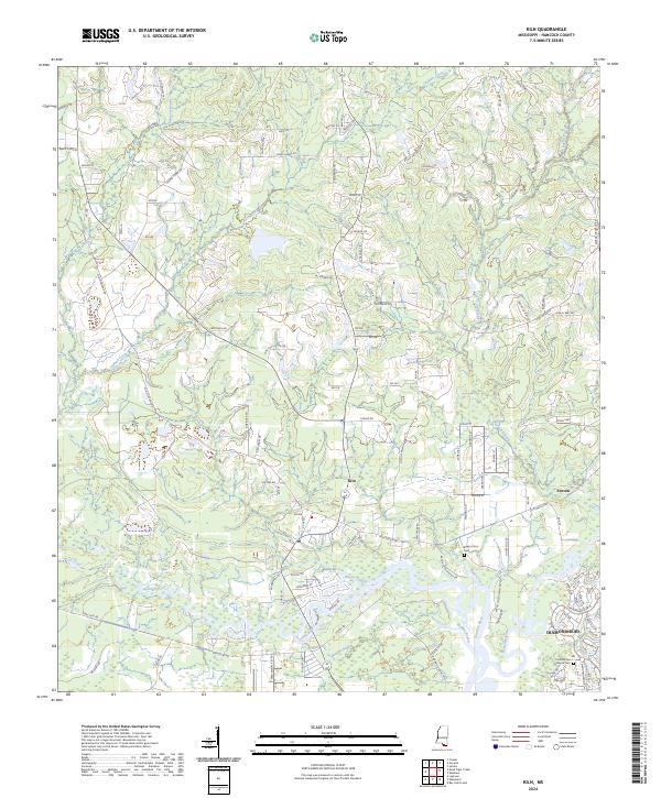 2024 Kiln2024 Print · USGSCoastal Mississippi’s pine woods and bayous are documented here in the contemporary era as they surround the historic community of Kiln. Researchers can trace local lineage and land use through the Bayou Coco Cem, the riverside settlement of Fenton, and the winding Jourdan River.
 - 2024 Map of Silver Run, 2024 Print
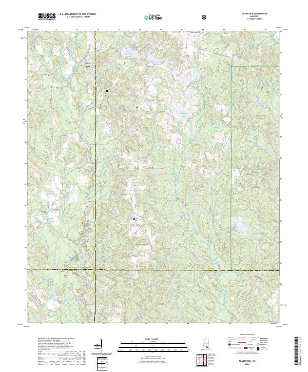 2024 Silver Run2024 Print · USGSCoastal Mississippi's piney woods and river bottoms come into focus in this contemporary study of Stone and Pearl River counties. Researchers can trace family-named routes and landmarks like Dedeaux Cem, Silver Run Lakes, and the winding Wolf River.
 - 2024 Map of Bay Saint Louis, 2024 Print
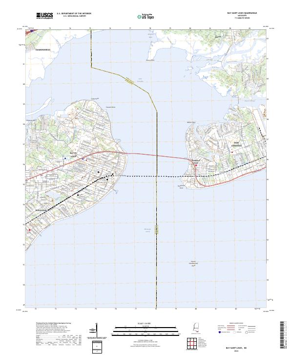 2024 Bay Saint Louis2024 Print · USGSThe Mississippi Gulf Coast is captured here in the early twenty-first century, showing the dense residential growth and complex shorelines of Bay St. Louis and Pass Christian. Researchers can trace local heritage through landmarks like the Hancock County Courthouse and the Brothers of the Sacred Heart Cem.
 - 2024 Map of Necaise, 2024 Print
 2024 Necaise2024 Print · USGSHancock County in the early 2020s remains a landscape of coastal bayous and family-named homesteads. Researchers can trace local lineage through landmarks like the Necaise Crossing Cem and family roads such as Wendell Ladner Rd.
 - 2024 Map of Savannah, 2024 Print
 2024 Savannah2024 Print · USGSSouthern Mississippi's rural borderlands are documented here in 2024, showing the settled landscape of Pearl River and Hancock counties. Genealogists can trace family names along Savannah Millard Rd and locate burial grounds like Steep Hollow Cem.
 - 2024 Map of Sellers, 2024 Print
 2024 Sellers2024 Print · USGSThe rural corridors of Harrison County come into focus in this contemporary survey of the Hancock County line. Researchers can trace family history at sites like the Wolf River Cem and Shaw Cem or explore the woods near Riceville and Sellers.
 - 2024 Map of Dead Tiger Creek, 2024 Print
 2024 Dead Tiger Creek2024 Print · USGSCoastal Mississippi wetlands and federal research facilities meet in this Hancock County survey from the early 2020s. Researchers can trace the intersection of aerospace industry at the Stennis Space Center with local landmarks like Sam Farve Bay and Dead Tiger Creek.
 - 2024 Map of Saint Joe Pass, 2024 Print
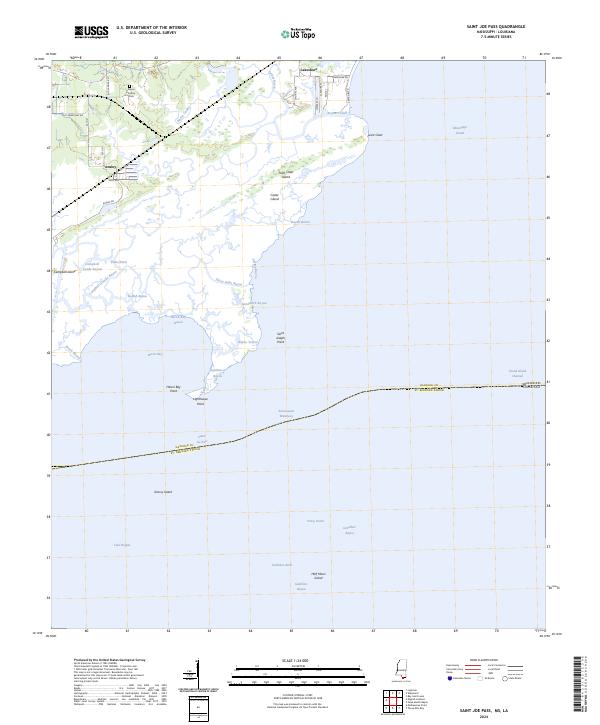 2024 Saint Joe Pass2024 Print · USGSCoastal Hancock County at the edge of the Mississippi Sound is mapped here in fine detail, showing the intricate marshlands and tidal bayous. Genealogists and local historians can locate the Bayou Caddy Cem and trace the small settlements of Lakeshore and Ansley.
Showing maps 1-25 of 34
Top cities of Hancock County
- Diamondhead historical maps
- Bay Saint Louis historical maps
- Waveland historical maps
- Pearlington historical maps
Frequently asked questions
- What are the different types of historical maps available for Hancock County?
- What is the oldest map of Hancock County?
- Where can I purchase historical maps of Hancock County for my home or office?
- Where can I download high-res historical maps of Hancock County?
- Are there historical topographic maps available for Hancock County?
- Is there historical aerial imagery available for Hancock County?
- Where are historical maps of Hancock County sourced from?