2000s (21st Century) Maps of Hancock County, Mississippi
Explore 86 historic maps of Hancock County from the 2000s (21st Century). These maps offer a rare glimpse into what life looked like during the 2000s — showing old roads, neighborhoods, homes, and landmarks that have changed or disappeared over time.
Whether you're researching your family's past, planning a metal detecting trip, or studying how Hancock County's landscape evolved across the 2000s, these high-resolution maps are a powerful tool for exploring the history of this region.
- Focus on a specific era: All maps on this page are from the 2000s, giving you a focused view of this time period.
- See what’s changed: Compare century-old streets, trails, and buildings to today's modern landscape using overlays and satellite layers.
- Research with precision: Use these maps for genealogy, historical research, land use analysis, or educational projects.
- View, download, or print: Maps are fully viewable online in high resolution, and can be downloaded or printed for your own records.
Start exploring Hancock County's history through authentic maps from the 2000s. This is your window into the past.
Hancock County, MS maps
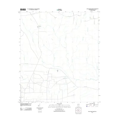
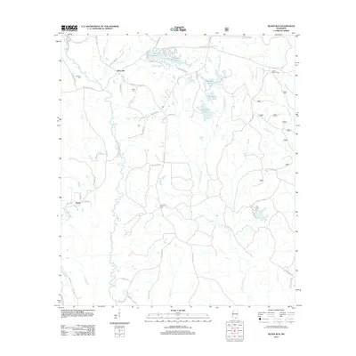
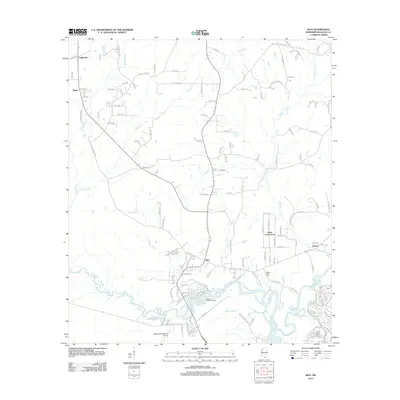
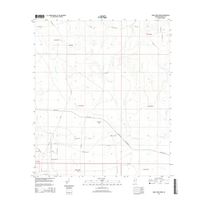
(86)- 2000 Map of Silver Run, 2002 Print
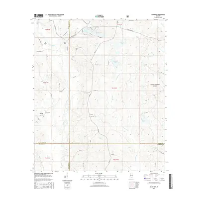
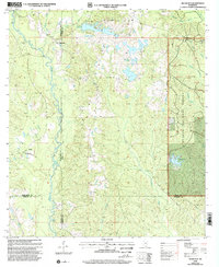 2000 Silver Run2002 Print · USGSSouthern Mississippi's timber and river country is captured here at the end of the twentieth century, spanning the borders of Stone, Harrison, and Pearl River counties. Researchers can locate numerous family burial sites like Hester Cem and rural centers such as Old Barth Community Ch.
 - 2012 Map of English Lookout, 2012 Print
 2012 English Lookout2012 Print · USGSCovers Hancock County, including Pearlington, North Side, and other nearby areas
 - 2012 Map of Haaswood, 2012 Print
 2012 Haaswood2012 Print · USGSCovers Hancock County, including Slidell, Davis Landing, and other nearby areas
 - 2012 Map of Sellers, 2012 Print
 2012 Sellers2012 Print · USGSCovers Hancock County, including Riceville, Lizana, and other nearby areas
 - 2012 Map of Dead Tiger Creek, 2012 Print
 2012 Dead Tiger Creek2012 Print · USGSCovers Hancock County, including Flat Top, United States, and other nearby areas
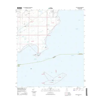
 - 2012 Map of Saint Joe Pass, 2012 Print
 2012 Saint Joe Pass2012 Print · USGSCovers Hancock County, including Lakeshore, Ansley, and other nearby areas
 - 2012 Map of Millard, 2012 Print
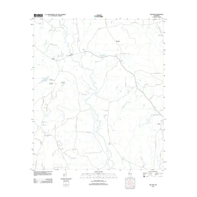
 2012 Millard2012 Print · USGSCovers Hancock County, including Millard, Tyler, and other nearby areas
 - 2012 Map of Savannah, 2012 Print
 2012 Savannah2012 Print · USGSCovers Hancock County, including Savannah, New Camp Rowlands, and other nearby areas
 - 2012 Map of Silver Run, 2012 Print
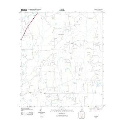
 2012 Silver Run2012 Print · USGSCovers Hancock County, including Silver Run, Barth, and other nearby areas
 - 2012 Map of Logtown, 2012 Print
 2012 Logtown2012 Print · USGSCovers Hancock County, including Logtown, St. Tammany Parish, and other nearby areas
 - 2012 Map of Necaise, 2012 Print
 2012 Necaise2012 Print · USGSCovers Hancock County, including Crane Creek, Standard, and other nearby areas
 - 2012 Map of Dedeaux, 2012 Print
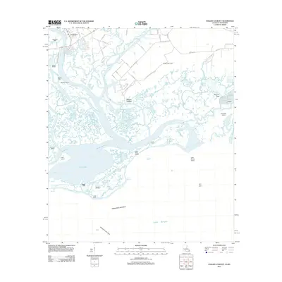
 2012 Dedeaux2012 Print · USGSCovers Hancock County, including Diamondhead, De Lisle, and other nearby areas
 - 2012 Map of Bay Saint Louis, 2012 Print
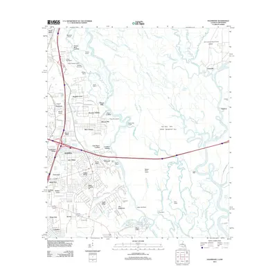
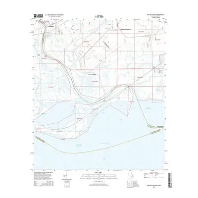
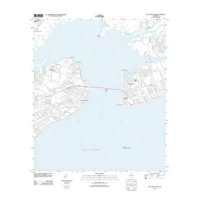 2012 Bay Saint Louis2012 Print · USGSCovers Hancock County, including Diamondhead, Bay Saint Louis, and other nearby areas
 - 2012 Map of Caesar, 2012 Print
 2012 Caesar2012 Print · USGSCovers Hancock County, including Leetown, Caesar, and other nearby areas
 - 2012 Map of Waveland, 2012 Print
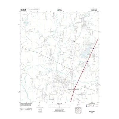
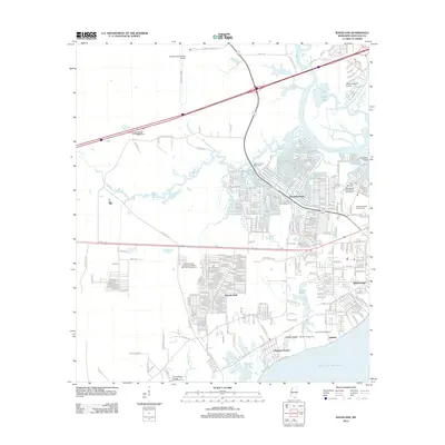 2012 Waveland2012 Print · USGSCovers Hancock County, including Diamondhead, Bay Saint Louis, and other nearby areas
 - 2012 Map of Nicholson, 2012 Print
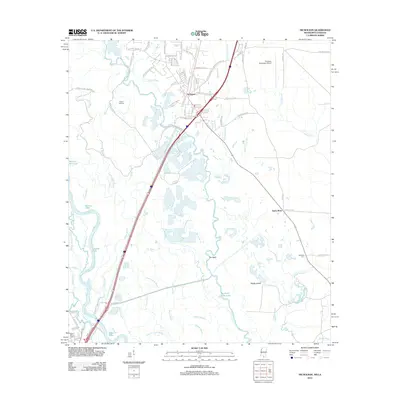 2012 Nicholson2012 Print · USGSCovers Hancock County, including Picayune, Pearl River, and other nearby areas
 - 2012 Map of Kiln, 2012 Print
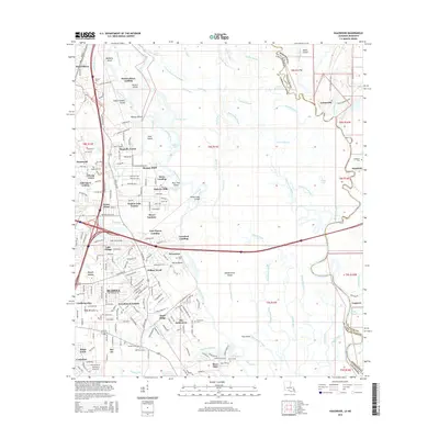
 2012 Kiln2012 Print · USGSCovers Hancock County, including Diamondhead, Wiehe, and other nearby areas
 - 2012 Map of Picayune, 2012 Print
 2012 Picayune2012 Print · USGSCovers Hancock County, including Picayune, Richardson, and other nearby areas
 - 2015 Map of English Lookout, 2015 Print
 2015 English Lookout2015 Print · USGSCovers Hancock County, including Pearlington, North Side, and other nearby areas
 - 2015 Map of Haaswood, 2015 Print
 2015 Haaswood2015 Print · USGSCovers Hancock County, including Slidell, Davis Landing, and other nearby areas
 - 2015 Map of Dead Tiger Creek, 2015 Print
 2015 Dead Tiger Creek2015 Print · USGSCovers Hancock County, including Flat Top, United States, and other nearby areas
 - 2015 Map of Saint Joe Pass, 2015 Print
 2015 Saint Joe Pass2015 Print · USGSCovers Hancock County, including Lakeshore, Ansley, and other nearby areas
 - 2015 Map of Necaise, 2015 Print
 2015 Necaise2015 Print · USGSCovers Hancock County, including Crane Creek, Standard, and other nearby areas
 - 2015 Map of Caesar, 2015 Print
 2015 Caesar2015 Print · USGSCovers Hancock County, including Leetown, Caesar, and other nearby areas
 - 2015 Map of Silver Run, 2015 Print
 2015 Silver Run2015 Print · USGSCovers Hancock County, including Silver Run, Barth, and other nearby areas
Showing maps 1-25 of 86
Top cities of Hancock County
- Diamondhead historical maps
- Bay Saint Louis historical maps
- Waveland historical maps
- Pearlington historical maps
Frequently asked questions
- What are the different types of historical maps available for Hancock County?
- What is the oldest map of Hancock County?
- Where can I purchase historical maps of Hancock County for my home or office?
- Where can I download high-res historical maps of Hancock County?
- Are there historical topographic maps available for Hancock County?
- Is there historical aerial imagery available for Hancock County?
- Where are historical maps of Hancock County sourced from?