2010s Maps of Hancock County, Mississippi
Explore 51 historic maps of Hancock County from the 2010s. These maps offer a rare glimpse into what life looked like during the 2010s — showing old roads, neighborhoods, homes, and landmarks that have changed or disappeared over time.
Whether you're researching your family's past, planning a metal detecting trip, or studying how Hancock County's landscape evolved across the 2010s, these high-resolution maps are a powerful tool for exploring the history of this region.
- Focus on a specific era: All maps on this page are from the 2010s, giving you a focused view of this time period.
- See what’s changed: Compare century-old streets, trails, and buildings to today's modern landscape using overlays and satellite layers.
- Research with precision: Use these maps for genealogy, historical research, land use analysis, or educational projects.
- View, download, or print: Maps are fully viewable online in high resolution, and can be downloaded or printed for your own records.
Start exploring Hancock County's history through authentic maps from the 2010s. This is your window into the past.
Hancock County, MS maps
(51)- 2012 Map of English Lookout, 2012 Print
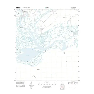 2012 English Lookout2012 Print · USGSThe Mississippi-Louisiana borderlands come alive in this map of the Pearl River delta just after the first decade of the millennium. Genealogists and researchers can trace the coastal landscape from the streets of Pearlington to Ansley, locating landmarks like English Lookout and the Pearl River Light.
 - 2012 Map of Haaswood, 2012 Print
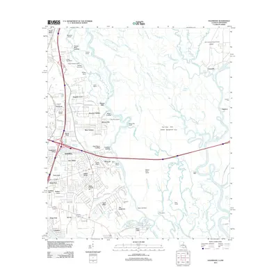 2012 Haaswood2012 Print · USGSSlidell and the Pearl River delta are shown here in the early twenty-first century, just as suburban growth met the wild bayou landscape. Local researchers can locate family burial sites at Porter Cem and trace old river landings such as Morgan Bluff and Gainesville.
 - 2012 Map of Sellers, 2012 Print
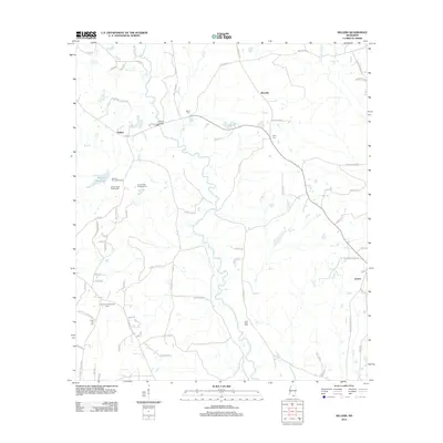 2012 Sellers2012 Print · USGSHarrison County's rural interior comes into focus during the early twenty-first century as recreational camps and timberland surround small crossroad communities. Researchers can locate family landmarks like Sellers Bridge and historic burial sites including Shaw Cem and Wolf River Cem.
 - 2012 Map of Dead Tiger Creek, 2012 Print
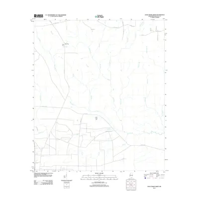 2012 Dead Tiger Creek2012 Print · USGSHancock County’s coastal plains are captured here in the early twenty-first century, showing a landscape of dense pine woods and winding bayous. You can trace local landmarks like Flattop School, the wetlands of Sam Farve Bay, and the path of 3 Notch Rd.
 - 2012 Map of Saint Joe Pass, 2012 Print
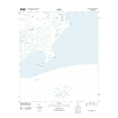 2012 Saint Joe Pass2012 Print · USGSThe Hancock County coastline and its intricate marshes are captured here in the early twenty-first century. Researchers can trace the layout of Lakeshore and Ansley, locate the Bayou Caddy Cem, and explore remote landmarks like Half Moon Island.
 - 2012 Map of Millard, 2012 Print
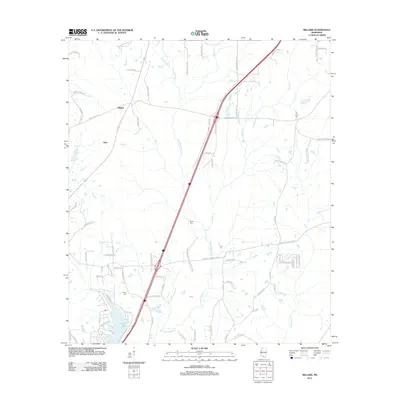 2012 Millard2012 Print · USGSPearl River County rural life is captured here in the early twenty-first century, showing the crossroads at Millard and Tyler. Genealogists can locate family landmarks like Martin Cem and Spiers Cem or trace the development of Anchor Lake.
 - 2012 Map of Savannah, 2012 Print
 2012 Savannah2012 Print · USGSPearl River County settlements and small family farms are scattered throughout this wooded Mississippi landscape in the early 2010s. Researchers can locate family burial sites at Anner Cem and Steep Hollow Cem, or trace rural road networks like Shawtown Rd and Melton Smith Rd.
 - 2012 Map of Silver Run, 2012 Print
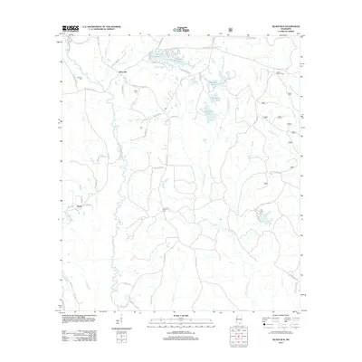 2012 Silver Run2012 Print · USGSSilver Run and the Pearl River County backcountry are captured here in the early twenty-first century, showing a landscape of timberlands and family homesteads. Researchers can locate ancestral sites like Dedeaux Cem or trace landmarks such as the Hickman Lookout Tower.
 - 2012 Map of Logtown, 2012 Print
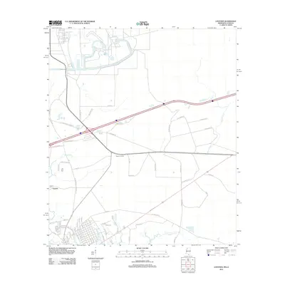 2012 Logtown2012 Print · USGSThe coastal marshlands and timber corridors of Hancock County are captured here in the early twenty-first century. Genealogists and local historians can locate Logtown Cem, the Westonia Lookout, and the old rail paths of Hover Dummyline Rd.
 - 2012 Map of Necaise, 2012 Print
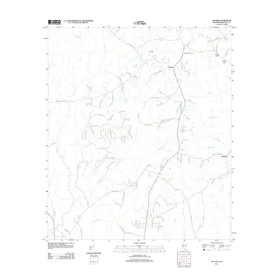 2012 Necaise2012 Print · USGSHancock County in the early twenty-first century remains a landscape defined by family-named roads and winding bayous. Researchers can trace local lineages through the Necaise Cemetery and settlements like Standard and Crane Creek.
 - 2012 Map of Dedeaux, 2012 Print
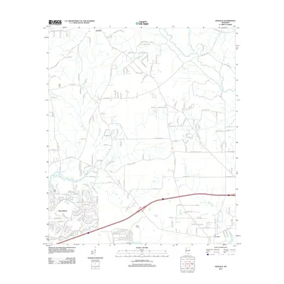 2012 Dedeaux2012 Print · USGSCoastal Mississippi and the growing community of Diamondhead are captured here in the early twenty-first century. Genealogists and local historians can trace the roads around Dedeaux, find Saint Joseph Cem, and explore the wetlands of Rotten Bayou.
 - 2012 Map of Bay Saint Louis, 2012 Print
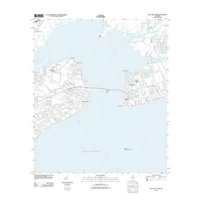 2012 Bay Saint Louis2012 Print · USGSThe Mississippi Gulf Coast is captured here in the early 2010s, showcasing the intricate shoreline of Saint Louis Bay. Researchers can trace the waterfront developments of Bay Saint Louis, locate the Garden of Memory Cem, and explore the winding paths of the Wolf River.
 - 2012 Map of Caesar, 2012 Print
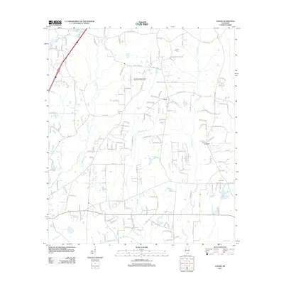 2012 Caesar2012 Print · USGSSouthern Mississippi's piney woods and creek bottoms are captured here in the early twenty-first century. Genealogists can locate family landmarks such as Pearson Cem, Gipson Cem, and the small community centers of Caesar and Leetown.
 - 2012 Map of Waveland, 2012 Print
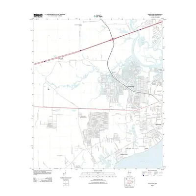 2012 Waveland2012 Print · USGSThe Mississippi Gulf Coast near Waveland is captured here during a period of modern coastal development and infrastructure expansion. Researchers can trace the layout of residential grids in Shoreline Park and locate historical landmarks like the Holy Cross Boys Camp or the Bay Marina Recreational Vehicle Park.
 - 2012 Map of Nicholson, 2012 Print
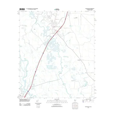 2012 Nicholson2012 Print · USGSSouthern Mississippi's riverine borderlands are captured here in the early twenty-first century, showing the interface between growing settlements and the Pearl River wetlands. Researchers can trace family history at Turtleskin Cem and Pearl River Cem or explore the intricate bayou networks near The Delta and Jackson Landing.
 - 2012 Map of Kiln, 2012 Print
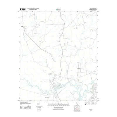 2012 Kiln2012 Print · USGSHancock County's coastal lowlands are captured here in the early twenty-first century, showing the rural communities north of the Mississippi Sound. Genealogists and local historians can trace family roots at Bayou Coco Cem or explore the settlements of Kiln and Catahoula.
 - 2012 Map of Picayune, 2012 Print
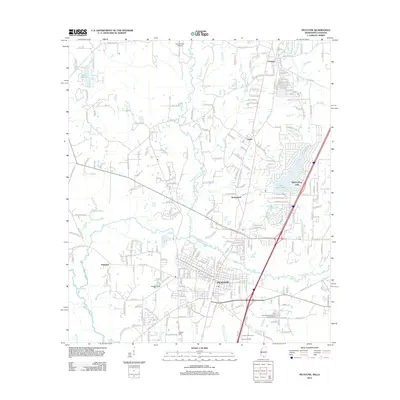 2012 Picayune2012 Print · USGSPicayune and its surrounding Pearl River County settlements are shown in detail during the early 2010s. Researchers can locate the Thigpen Cem, trace the drainage of Alligator Br, and explore the grounds of the Crosby Arboretum.
 - 2015 Map of English Lookout, 2015 Print
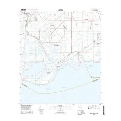 2015 English Lookout2015 Print · USGSCoastal Hancock County at the Mississippi-Louisiana line is a maze of tidal bayous and river passes. Genealogists and researchers can trace the roads and waterfronts of Pearlington, Ansley, and the shoreline around English Lookout.
 - 2015 Map of Haaswood, 2015 Print
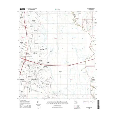 2015 Haaswood2015 Print · USGSThe interstate-era growth of Slidell and Pearl River meets the ancient bayous of the state line in the mid-2010s. Researchers can locate many small family cemeteries like Porters Cem and Rousseaux Cem or trace the river-life legacy of Porters River Landing and Davis Landing.
 - 2015 Map of Dead Tiger Creek, 2015 Print
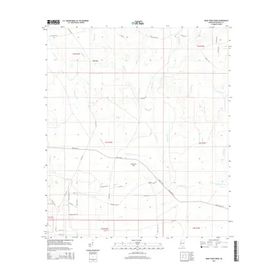 2015 Dead Tiger Creek2015 Print · USGSIn the mid-2010s, this area of Hancock County displays a fascinating mix of old woodsy landmarks and modern infrastructure. You can trace the lineage of local families and land use through Flat Top, the old Three Notch Road, and sites like Sam Farve Bay or the Bombing Range Road.
 - 2015 Map of Saint Joe Pass, 2015 Print
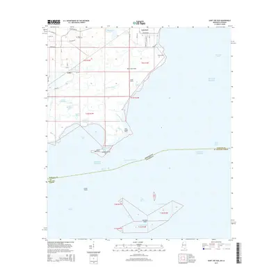 2015 Saint Joe Pass2015 Print · USGSThe coastal marshes of Hancock County are captured here in the mid-2010s, showing the intricate tidal networks near the state line. Researchers can locate the Bayou Caddy Cemetery and trace the winding paths of Heron Bay Bayou and Three Oaks Bayou.
 - 2015 Map of Necaise, 2015 Print
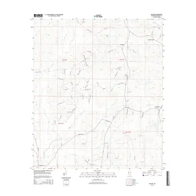 2015 Necaise2015 Print · USGSHancock County's rural interior comes into focus during the mid-2010s, revealing a landscape of family-named roads and winding bayous. Genealogists can trace family footprints near Necaise and Standard, or locate landmarks like the Necaise Cem and Mint Julep Airpark.
 - 2015 Map of Caesar, 2015 Print
 2015 Caesar2015 Print · USGSThe borderlands of Pearl River and Hancock counties are shown in detail as they appeared in 2015. Researchers can trace local lineage through sites like Pearson Cem and Gipson Cem or explore the rural landscapes surrounding Caesar and Leetown.
 - 2015 Map of Silver Run, 2015 Print
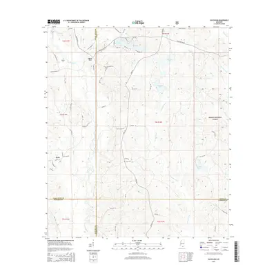 2015 Silver Run2015 Print · USGSThe pine forests of Pearl River County are documented here in the mid-2010s, showing a landscape defined by timber and the Wolf River watershed. Local historians can locate ancestral sites like Dedeaux Cem and Hester Cem along historic routes like Silver Run Rd.
 - 2015 Map of Kiln, 2015 Print
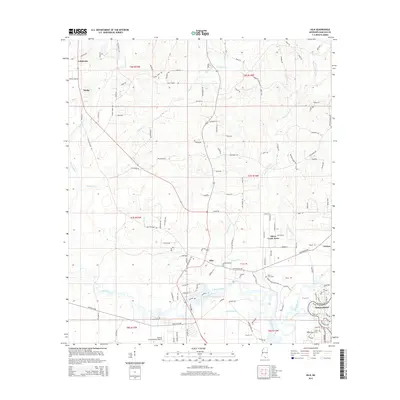 2015 Kiln2015 Print · USGSHancock County's inland waterways and growing aviation sector are captured here in the mid-2010s. Researchers can trace family sites from Catahoula down to Diamondhead, or locate rural landmarks like Bayou Coco Cem and Stennis International Airport.
Showing maps 1-25 of 51
Top cities of Hancock County
- Diamondhead historical maps
- Bay Saint Louis historical maps
- Waveland historical maps
- Pearlington historical maps
Frequently asked questions
- What are the different types of historical maps available for Hancock County?
- What is the oldest map of Hancock County?
- Where can I purchase historical maps of Hancock County for my home or office?
- Where can I download high-res historical maps of Hancock County?
- Are there historical topographic maps available for Hancock County?
- Is there historical aerial imagery available for Hancock County?
- Where are historical maps of Hancock County sourced from?