2020s Maps of Holmes County, Mississippi
Explore 44 historic maps of Holmes County from the 2020s. These maps offer a rare glimpse into what life looked like during the 2020s — showing old roads, neighborhoods, homes, and landmarks that have changed or disappeared over time.
Whether you're researching your family's past, planning a metal detecting trip, or studying how Holmes County's landscape evolved across the 2020s, these high-resolution maps are a powerful tool for exploring the history of this region.
- Focus on a specific era: All maps on this page are from the 2020s, giving you a focused view of this time period.
- See what’s changed: Compare century-old streets, trails, and buildings to today's modern landscape using overlays and satellite layers.
- Research with precision: Use these maps for genealogy, historical research, land use analysis, or educational projects.
- View, download, or print: Maps are fully viewable online in high resolution, and can be downloaded or printed for your own records.
Start exploring Holmes County's history through authentic maps from the 2020s. This is your window into the past.
Holmes County, MS maps
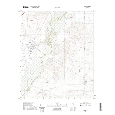
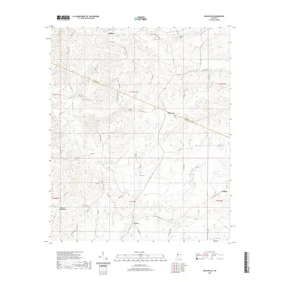
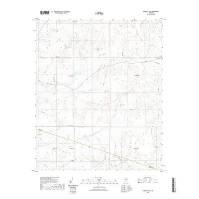
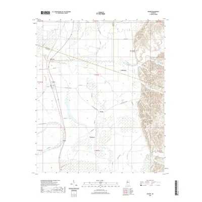
(44)- 2020 Map of Goodman, 2020 Print
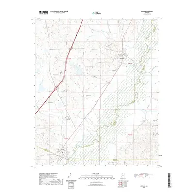 2020 Goodman2020 Print · USGSCovers Holmes County, including Pickens, Goodman, and other nearby areas
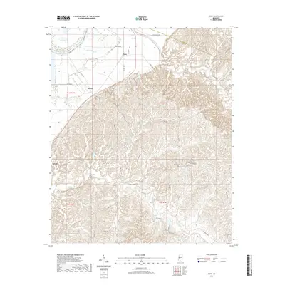
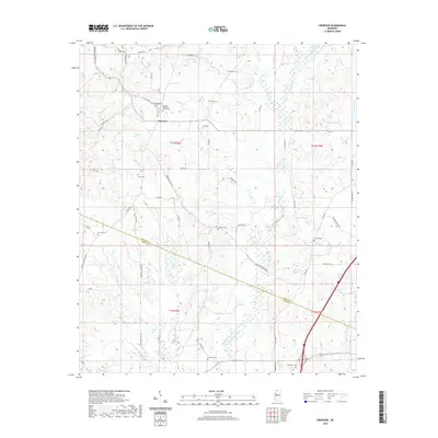
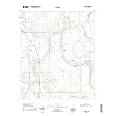
 - 2020 Map of Owens Wells, 2020 Print
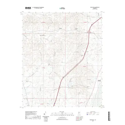 2020 Owens Wells2020 Print · USGSCovers Holmes County, including West Hill, Owens Wells, and other nearby areas
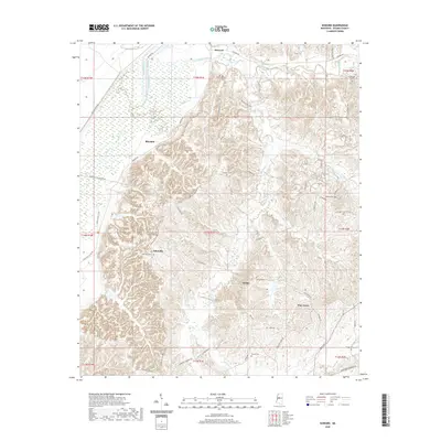
 - 2020 Map of Durant, 2020 Print
 2020 Durant2020 Print · USGSCovers Holmes County, including Durant, Sallis, and other nearby areas
 - 2020 Map of Bowling Green, 2020 Print
 2020 Bowling Green2020 Print · USGSCovers Holmes County, including Bowling Green, Poplar Springs, and other nearby areas
 - 2020 Map of Zeiglerville, 2020 Print
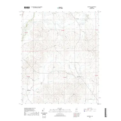
 2020 Zeiglerville2020 Print · USGSCovers Holmes County, including Pierce Crossroad, Fordyke, and other nearby areas
 - 2020 Map of Eden, 2020 Print
 2020 Eden2020 Print · USGSCovers Holmes County, including Eden, Free Run, and other nearby areas
 - 2020 Map of Hesterville, 2020 Print
 2020 Hesterville2020 Print · USGSCovers Holmes County, including Carmack, Possumneck, and other nearby areas
 - 2020 Map of West, 2020 Print
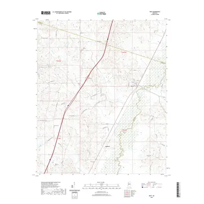 2020 West2020 Print · USGSCovers Holmes County, including West, Edsville, and other nearby areas
 - 2020 Map of Murdock Lake, 2020 Print
 2020 Murdock Lake2020 Print · USGSCovers Holmes County, including Emory, Carroll County, and other nearby areas
 - 2020 Map of Ebenezer, 2020 Print
 2020 Ebenezer2020 Print · USGSCovers Holmes County, including Ebenezer, Yazoo County, and other nearby areas
 - 2020 Map of Howard, 2020 Print
 2020 Howard2020 Print · USGSCovers Holmes County, including Howard, Pine Grove, and other nearby areas
 - 2020 Map of Tchula, 2020 Print
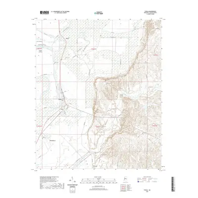 2020 Tchula2020 Print · USGSCovers Holmes County, including Tchula, Shackleford, and other nearby areas
 - 2020 Map of Cruger, 2020 Print
 2020 Cruger2020 Print · USGSCovers Holmes County, including Cruger, Dulweber, and other nearby areas
 - 2020 Map of Black Hawk, 2020 Print
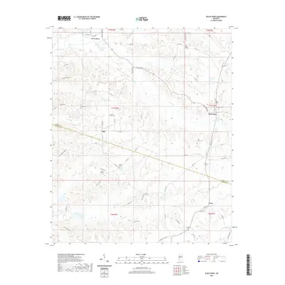 2020 Black Hawk2020 Print · USGSCovers Holmes County, including Black Hawk, Acona, and other nearby areas
 - 2020 Map of Silver City, 2020 Print
 2020 Silver City2020 Print · USGSCovers Holmes County, including Silver City, Pluto, and other nearby areas
 - 2020 Map of Marcella, 2020 Print
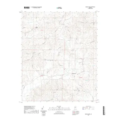
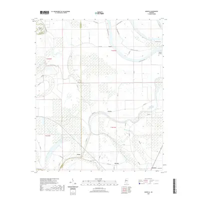 2020 Marcella2020 Print · USGSCovers Holmes County, including Marcella, Refuge, and other nearby areas
 - 2020 Map of Belzoni, 2020 Print
 2020 Belzoni2020 Print · USGSCovers Holmes County, including Belzoni, Famosla, and other nearby areas
 - 2020 Map of Montgomery, 2020 Print
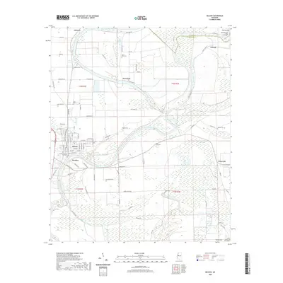
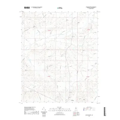
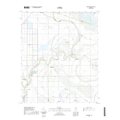 2020 Montgomery2020 Print · USGSCovers Holmes County, including Morgan City, Montgomery, and other nearby areas
 - 2020 Map of Thornton, 2020 Print
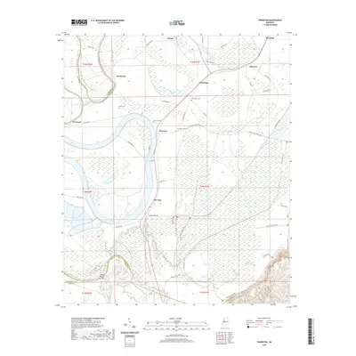 2020 Thornton2020 Print · USGSCovers Holmes County, including Mileston, Thornton, and other nearby areas
 - 2020 Map of Lexington South, 2020 Print
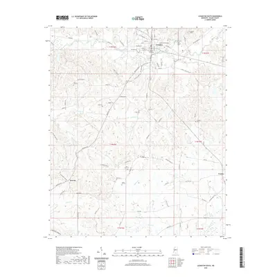 2020 Lexington South2020 Print · USGSCovers Holmes County, including Lexington, Franklin, and other nearby areas
 - 2020 Map of Itta Bena, 2020 Print
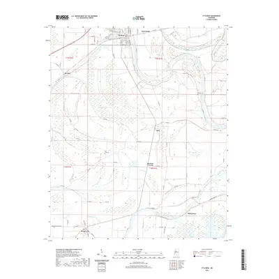 2020 Itta Bena2020 Print · USGSCovers Holmes County, including Itta Bena, Morgan City, and other nearby areas
 - 2020 Map of Lexington North, 2020 Print
 2020 Lexington North2020 Print · USGSCovers Holmes County, including Lexington, Oregon, and other nearby areas
 - 2024 Map of Howard, 2024 Print
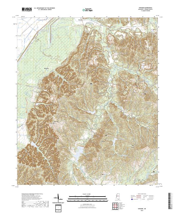 2024 Howard2024 Print · USGSHolmes County hill country meets the Delta in this recent survey of the rural landscape near Howard. Researchers can trace old family sites and communities at Hebron Methodist Church, Tolarville, and Old Rankin Cem.
 - 2024 Map of Eden, 2024 Print
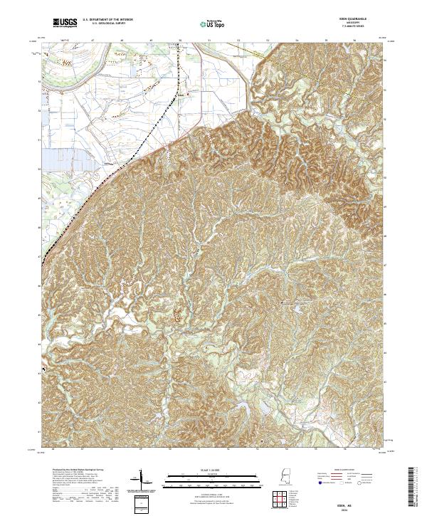 2024 Eden2024 Print · USGSYazoo County's delta-edge landscape is captured here as it appears today, from the river bottoms to the eastern bluffs. Researchers can trace rural landmarks and family-named routes such as Hardshell Cem, Zelleria, and the waters of Dead Man Bayou.
 - 2024 Map of Ebenezer, 2024 Print
 2024 Ebenezer2024 Print · USGSThe community of Ebenezer remains a central rural hub for central Mississippi genealogists and historians. Trace the locations of family-named landmarks and old burying grounds like Smith Cem, Rule Cem, and the Central Baptist Cem.
Showing maps 1-25 of 44
Top cities of Holmes County
- Durant historical maps
- Tchula historical maps
- Lexington historical maps
- Pickens historical maps
- Goodman historical maps
- Cruger historical maps
See more
Frequently asked questions
- What are the different types of historical maps available for Holmes County?
- What is the oldest map of Holmes County?
- Where can I purchase historical maps of Holmes County for my home or office?
- Where can I download high-res historical maps of Holmes County?
- Are there historical topographic maps available for Holmes County?
- Is there historical aerial imagery available for Holmes County?
- Where are historical maps of Holmes County sourced from?