2000s (21st Century) Maps of Holmes County, Mississippi
Explore 110 historic maps of Holmes County from the 2000s (21st Century). These maps offer a rare glimpse into what life looked like during the 2000s — showing old roads, neighborhoods, homes, and landmarks that have changed or disappeared over time.
Whether you're researching your family's past, planning a metal detecting trip, or studying how Holmes County's landscape evolved across the 2000s, these high-resolution maps are a powerful tool for exploring the history of this region.
- Focus on a specific era: All maps on this page are from the 2000s, giving you a focused view of this time period.
- See what’s changed: Compare century-old streets, trails, and buildings to today's modern landscape using overlays and satellite layers.
- Research with precision: Use these maps for genealogy, historical research, land use analysis, or educational projects.
- View, download, or print: Maps are fully viewable online in high resolution, and can be downloaded or printed for your own records.
Start exploring Holmes County's history through authentic maps from the 2000s. This is your window into the past.
Holmes County, MS maps
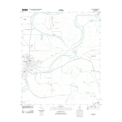
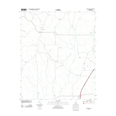
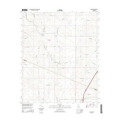
(110)- 2012 Map of Howard, 2012 Print
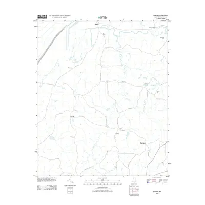 2012 Howard2012 Print · USGSCovers Holmes County, including Howard, Pine Grove, and other nearby areas
 - 2012 Map of Cruger, 2012 Print
 2012 Cruger2012 Print · USGSCovers Holmes County, including Cruger, Dulweber, and other nearby areas
 - 2012 Map of Bowling Green, 2012 Print
 2012 Bowling Green2012 Print · USGSCovers Holmes County, including Bowling Green, Poplar Springs, and other nearby areas
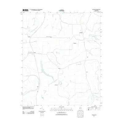
 - 2012 Map of Marcella, 2012 Print
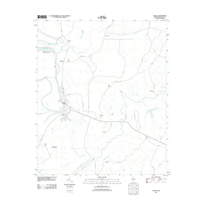
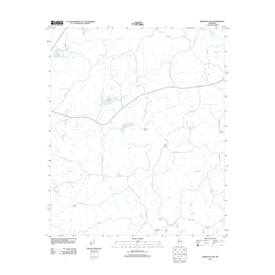
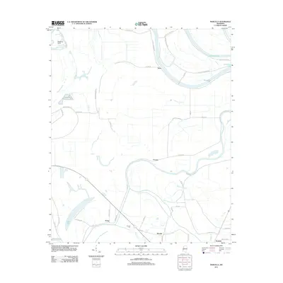 2012 Marcella2012 Print · USGSCovers Holmes County, including Marcella, Refuge, and other nearby areas
 - 2012 Map of Belzoni, 2012 Print
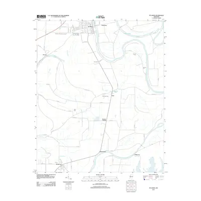
 2012 Belzoni2012 Print · USGSCovers Holmes County, including Belzoni, Famosla, and other nearby areas
 - 2012 Map of Montgomery, 2012 Print
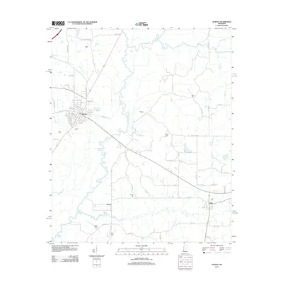
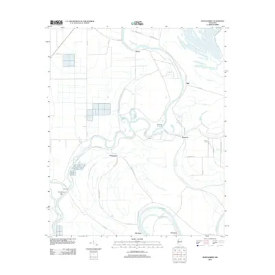 2012 Montgomery2012 Print · USGSCovers Holmes County, including Morgan City, Montgomery, and other nearby areas
 - 2012 Map of Eden, 2012 Print
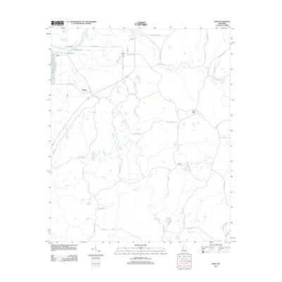 2012 Eden2012 Print · USGSCovers Holmes County, including Eden, Free Run, and other nearby areas
 - 2012 Map of Lexington North, 2012 Print
 2012 Lexington North2012 Print · USGSCovers Holmes County, including Lexington, Oregon, and other nearby areas
 - 2012 Map of Thornton, 2012 Print
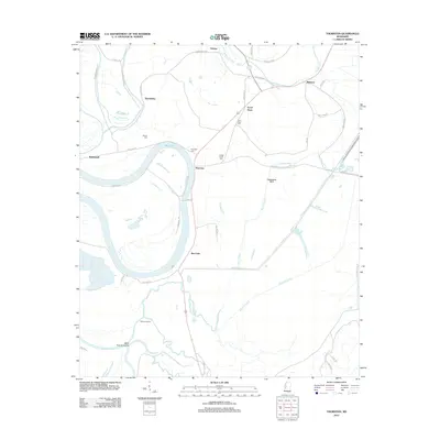 2012 Thornton2012 Print · USGSCovers Holmes County, including Mileston, Thornton, and other nearby areas
 - 2012 Map of Silver City, 2012 Print
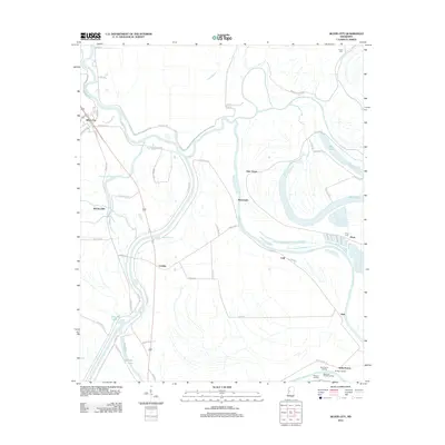 2012 Silver City2012 Print · USGSCovers Holmes County, including Silver City, Pluto, and other nearby areas
 - 2012 Map of Black Hawk, 2012 Print
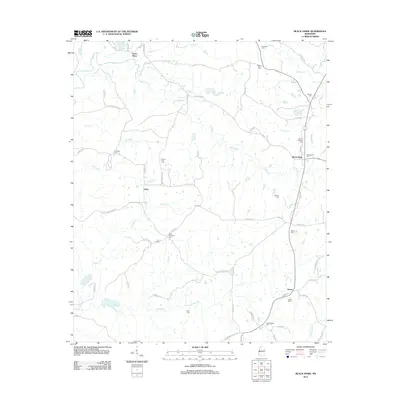 2012 Black Hawk2012 Print · USGSCovers Holmes County, including Black Hawk, Acona, and other nearby areas
 - 2012 Map of Lexington South, 2012 Print
 2012 Lexington South2012 Print · USGSCovers Holmes County, including Lexington, Franklin, and other nearby areas
 - 2012 Map of Tchula, 2012 Print
 2012 Tchula2012 Print · USGSCovers Holmes County, including Tchula, Shackleford, and other nearby areas
 - 2012 Map of Itta Bena, 2012 Print
 2012 Itta Bena2012 Print · USGSCovers Holmes County, including Itta Bena, Morgan City, and other nearby areas
 - 2012 Map of Durant, 2012 Print
 2012 Durant2012 Print · USGSCovers Holmes County, including Durant, Sallis, and other nearby areas
 - 2012 Map of Owens Wells, 2012 Print
 2012 Owens Wells2012 Print · USGSCovers Holmes County, including West Hill, Owens Wells, and other nearby areas
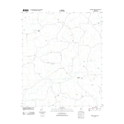
 - 2012 Map of Hesterville, 2012 Print
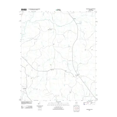 2012 Hesterville2012 Print · USGSCovers Holmes County, including Carmack, Possumneck, and other nearby areas
 - 2012 Map of Murdock Lake, 2012 Print
 2012 Murdock Lake2012 Print · USGSCovers Holmes County, including Emory, Carroll County, and other nearby areas
 - 2012 Map of West, 2012 Print
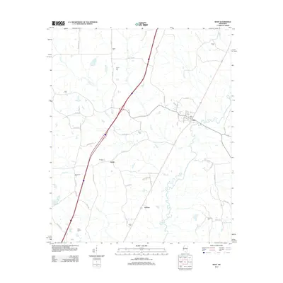 2012 West2012 Print · USGSCovers Holmes County, including West, Edsville, and other nearby areas
 - 2012 Map of Zeiglerville, 2012 Print
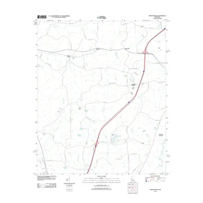
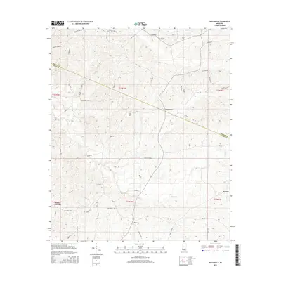
 2012 Zeiglerville2012 Print · USGSCovers Holmes County, including Pierce Crossroad, Fordyke, and other nearby areas
 - 2012 Map of Ebenezer, 2012 Print
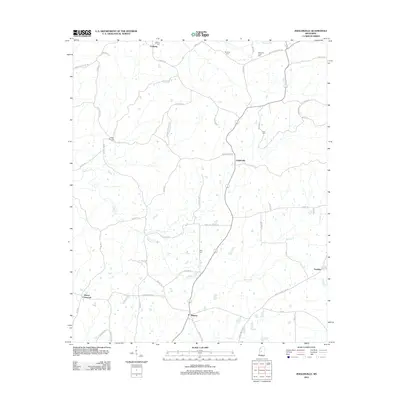
 2012 Ebenezer2012 Print · USGSCovers Holmes County, including Ebenezer, Yazoo County, and other nearby areas
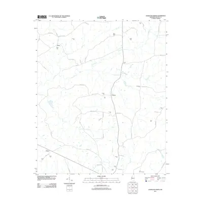
 - 2012 Map of Goodman, 2012 Print
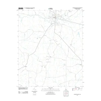
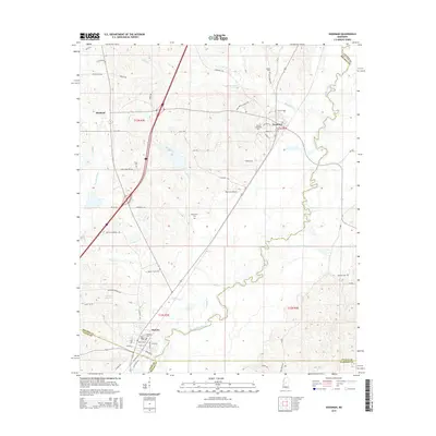
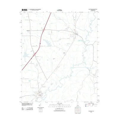 2012 Goodman2012 Print · USGSCovers Holmes County, including Pickens, Goodman, and other nearby areas
 - 2015 Map of Goodman, 2015 Print
 2015 Goodman2015 Print · USGSCovers Holmes County, including Pickens, Goodman, and other nearby areas
 - 2015 Map of Zeiglerville, 2015 Print
 2015 Zeiglerville2015 Print · USGSCovers Holmes County, including Pierce Crossroad, Fordyke, and other nearby areas
 - 2015 Map of Ebenezer, 2015 Print
 2015 Ebenezer2015 Print · USGSCovers Holmes County, including Ebenezer, Yazoo County, and other nearby areas
Showing maps 1-25 of 110
Top cities of Holmes County
- Durant historical maps
- Tchula historical maps
- Lexington historical maps
- Pickens historical maps
- Goodman historical maps
- Cruger historical maps
See more
Frequently asked questions
- What are the different types of historical maps available for Holmes County?
- What is the oldest map of Holmes County?
- Where can I purchase historical maps of Holmes County for my home or office?
- Where can I download high-res historical maps of Holmes County?
- Are there historical topographic maps available for Holmes County?
- Is there historical aerial imagery available for Holmes County?
- Where are historical maps of Holmes County sourced from?