2020s Maps of Itawamba County, Mississippi
Explore 32 historic maps of Itawamba County from the 2020s. These maps offer a rare glimpse into what life looked like during the 2020s — showing old roads, neighborhoods, homes, and landmarks that have changed or disappeared over time.
Whether you're researching your family's past, planning a metal detecting trip, or studying how Itawamba County's landscape evolved across the 2020s, these high-resolution maps are a powerful tool for exploring the history of this region.
- Focus on a specific era: All maps on this page are from the 2020s, giving you a focused view of this time period.
- See what’s changed: Compare century-old streets, trails, and buildings to today's modern landscape using overlays and satellite layers.
- Research with precision: Use these maps for genealogy, historical research, land use analysis, or educational projects.
- View, download, or print: Maps are fully viewable online in high resolution, and can be downloaded or printed for your own records.
Start exploring Itawamba County's history through authentic maps from the 2020s. This is your window into the past.
Itawamba County, MS maps
(32)- 2020 Map of Bexar, 2020 Print
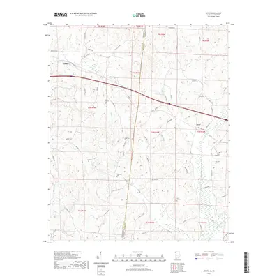 2020 Bexar2020 Print · USGSThe Mississippi-Alabama borderlands come into focus in this recent survey of the rural hills surrounding Tremont and Bexar. Genealogists can trace family heritage across nearly a dozen local burial sites, including Wigginton Cem and Gann Cem, while mapping old routes like Bexar Gin Rd.
 - 2020 Map of Red Bay, 2020 Print
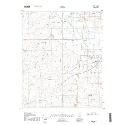 2020 Red Bay2020 Print · USGSThe Alabama and Mississippi borderlands come into focus in 2020, centered on the community of Red Bay. Researchers can trace local heritage through several burial sites like Burgess Cem African American or explore landmarks along the Tennessee Valley Divide.
 - 2020 Map of Detroit, 2020 Print
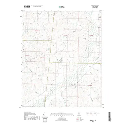 2020 Detroit2020 Print · USGSThe Alabama-Mississippi border comes alive in this survey of the region surrounding Detroit. Researchers can locate nearly a dozen local burial sites, including Riddicell Cem and Carter Cem, or trace the winding course of Sipsey Cr.
 - 2020 Map of Shottsville, 2020 Print
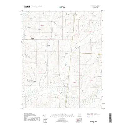 2020 Shottsville2020 Print · USGSThe Mississippi-Alabama borderlands come alive in this recent survey of the rural South near the junction of three counties. Local historians can trace family roots through numerous burial grounds like Chasteene Cem and Oakland Cem or locate old homesteads near Bounds Crossroads.
 - 2020 Map of Turon, 2020 Print
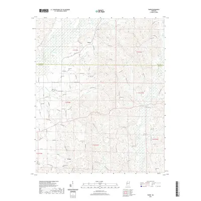 2020 Turon2020 Print · USGSNortheastern Mississippi at the turn of the decade is captured here along the Itawamba and Monroe County border. Genealogists can trace family names through numerous rural landmarks like Dyer Cem, Parham, and the historically suggestive Jug Shop Road.
 - 2020 Map of Beans Ferry, 2020 Print
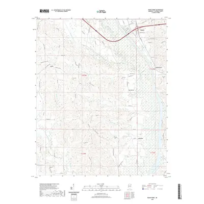 2020 Beans Ferry2020 Print · USGSItawamba County’s river-bottom landscape is captured here in the contemporary era, centered on the historic river crossing at Beans Ferry. Researchers can locate family landmarks such as Bean Cem and Wygul Cem or trace the early paths of Van Buren and Cardsville.
 - 2020 Map of Smithville, 2020 Print
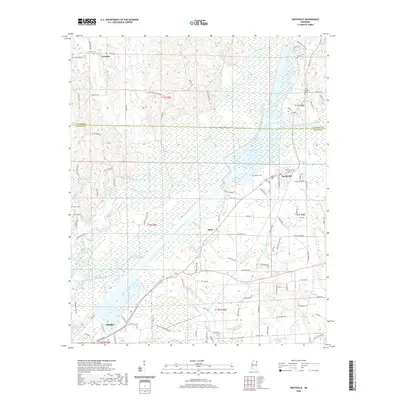 2020 Smithville2020 Print · USGSMonroe County near the Itawamba line is documented here in the early twenty-first century as the Tombigbee River valley continues to shape local life. Genealogists and researchers can trace family lands near Smithville, Carolina, and rural landmarks like New Chapel Cem.
 - 2020 Map of Fulton NE, 2020 Print
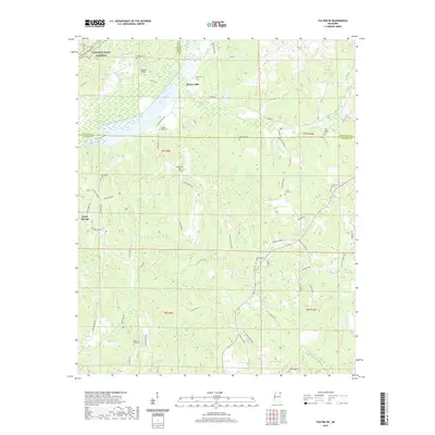 2020 Fulton NE2020 Print · USGSNortheast Mississippi’s hill country is shown here in the 2020s, centered on the tri-county junction of Prentiss, Tishomingo, and Itawamba. Researchers can trace family history through a wealth of sites like Moores Mill, Old Bethel Cem, and Caveness Bridge.
 - 2020 Map of Kirkville, 2020 Print
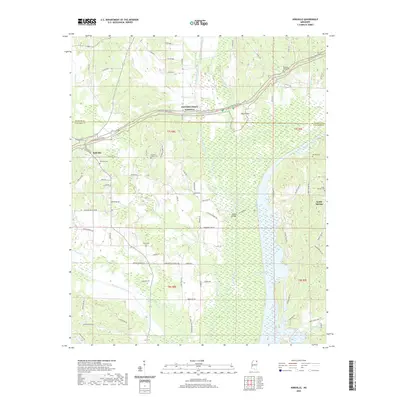 2020 Kirkville2020 Print · USGSNortheast Mississippi’s rural landscape is captured here in the early twenty-first century as the Tombigbee River winds along the county line. Genealogists can trace family footprints at Kirkville Cem, Ozark Cem, and the historic Pharr Flats area.
 - 2020 Map of Nettleton, 2020 Print
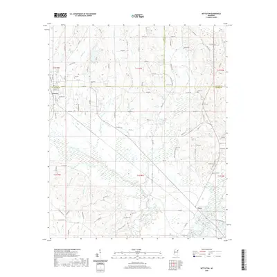 2020 Nettleton2020 Print · USGSNettleton and the surrounding bottomlands of the Tombigbee River are captured here in the early twenty-first century. Genealogists and historians can locate numerous ancestral burial grounds, including Nettleton Cem, Hester Cem, and Pisgah Cem.
 - 2021 Map of Fulton SE, 2021 Print
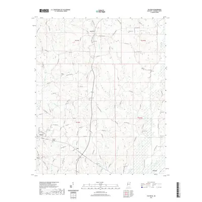 2021 Fulton SE2021 Print · USGSItawamba County in the early twenty-first century reveals a landscape where family lineages are etched into the map through small burial grounds and rural roads. Genealogists can trace local heritage through sites like Hardin Chapel Cem, Fairview, and the winding path of Little Briar Cr.
 - 2021 Map of Ratliff, 2021 Print
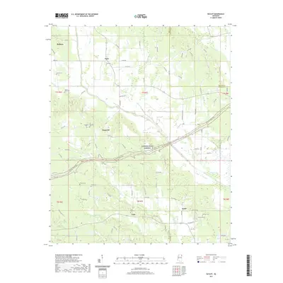 2021 Ratliff2021 Print · USGSNortheastern Mississippi at the start of the 2020s shows a landscape deeply tied to its waterways and the historic Natchez Trace. Genealogists can trace family names through numerous rural burial sites like Pratts Cem, Red Hill Cem, and the Old Friendship Cem.
 - 2021 Map of Evergreen, 2021 Print
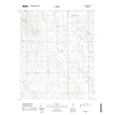 2021 Evergreen2021 Print · USGSThe rural landscapes of Lee and Itawamba counties are captured here in the early twenty-first century, showing a region defined by its creeks and family ties. Researchers can trace dozens of family-named landmarks and burial sites like Shumpert Cem, Kellys Chapel Cem, and Pettigrew-Ivy Family Cem.
 - 2021 Map of Fulton, 2021 Print
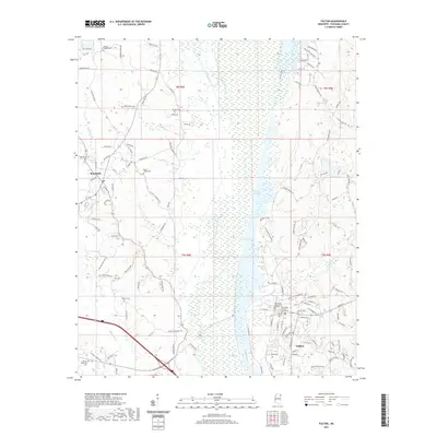 2021 Fulton2021 Print · USGSItawamba County’s river-bottoms and ridges are captured here in the early twenty-first century, centered on the county seat and the college campus. Researchers can trace family history through numerous rural burial grounds like Stevens Cem and Walton Cem or explore the wetlands around Queen Lake.
 - 2021 Map of Mooreville, 2021 Print
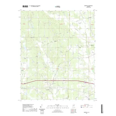 2021 Mooreville2021 Print · USGSMooreville and the surrounding Lee and Itawamba County borderlands are shown here in the early 2020s. Genealogists and local historians can trace dozens of community landmarks, from the Sandlin Family Cem to the namesake Boguefala Cem near the creek.
 - 2021 Map of Tremont, 2021 Print
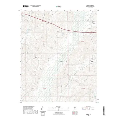 2021 Tremont2021 Print · USGSItawamba County’s rural landscape is captured here in the early twenty-first century, highlighting the enduring nature of its small communities. Researchers can trace family roots through numerous sites like New Salem Cem, Clover Ridge Cem, and the old settlement at Cadamy.
 - 2024 Map of Turon, 2024 Print
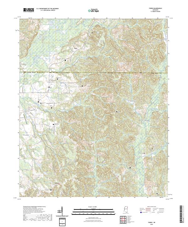 2024 Turon2024 Print · USGSNortheastern Mississippi borderlands are captured here in the early twenty-first century, showing the small communities of Turon and Parham. Genealogists can trace family footprints through numerous local sites including Springfield Cem, Wylie Cem, and the Sams Sawmill Lindsey Cem.
 - 2024 Map of Evergreen, 2024 Print
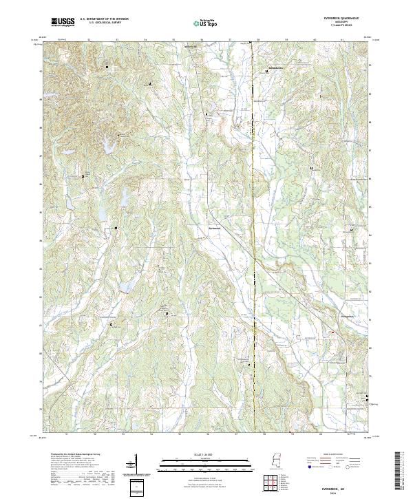 2024 Evergreen2024 Print · USGSEastern Mississippi’s rural landscape is captured here in the 2020s, spanning the Lee and Itawamba county line. Researchers can locate family heritage sites like Pettigrew Ivy Family Cem and old community hubs including Richmond and Evergreen.
 - 2024 Map of Nettleton, 2024 Print
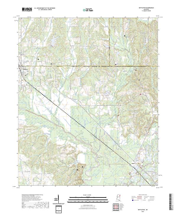 2024 Nettleton2024 Print · USGSNettleton and the rural communities of Monroe and Lee counties are shown here in the 2020s, centered on the historic river-and-rail landscape. Researchers can locate numerous family burial grounds like Pisgah Cem or trace the old river crossing at Cothers Ferry.
 - 2024 Map of Smithville, 2024 Print
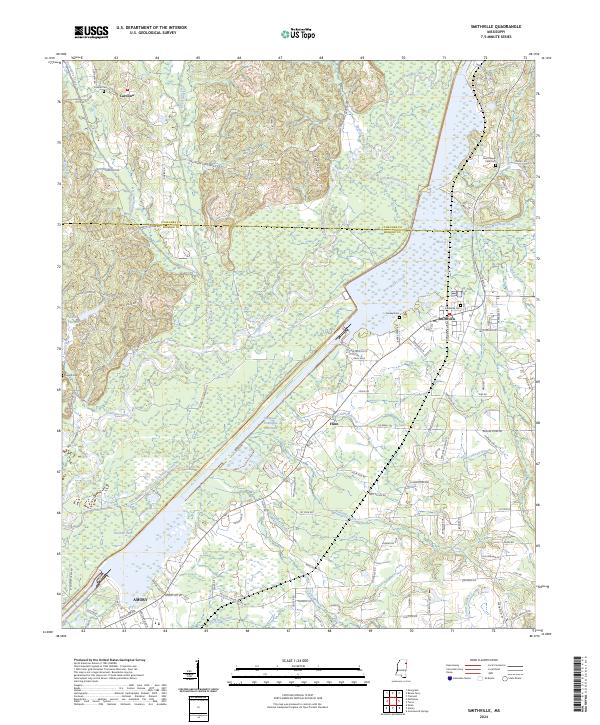 2024 Smithville2024 Print · USGSThe Smithville area of Northeast Mississippi is shaped by the expansive Tennessee-Tombigbee Waterway and its river-fed wetlands. Local historians can trace old community landmarks including Carolina, the Smithville Cem, and the outskirts of Amory near Malone Lake.
 - 2024 Map of Fulton, 2024 Print
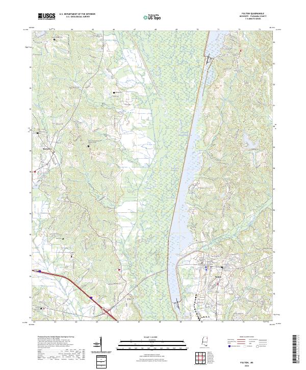 2024 Fulton2024 Print · USGSItawamba County’s river-fed landscape is captured here as the modern waterway meets the historic valley floor. Researchers can trace family roots at Mantachie Cem or locate the Itawamba County Courthouse and Itawamba Community College in the heart of Fulton.
 - 2024 Map of Bexar, 2024 Print
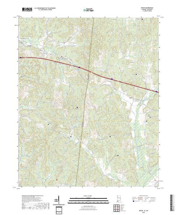 2024 Bexar2024 Print · USGSStaddling the Alabama and Mississippi border in the 2020s, this area showcases the rural connection between Bexar and Tremont. Genealogists can trace family footprints across numerous sites like Concord Cem and Stevens Cem along the Sipsey Creek valley.
 - 2024 Map of Detroit, 2024 Print
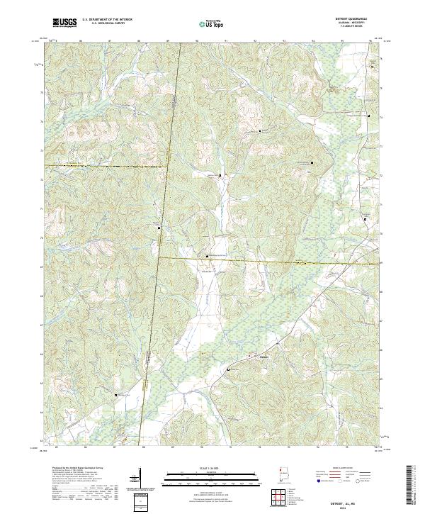 2024 Detroit2024 Print · USGSThe rural borderlands of Alabama and Mississippi are captured here in the contemporary era, centered on the settlement of Detroit. Genealogists can trace family heritage through numerous burial sites like Carter Cem, Shelton Cem, and Riggins Cem.
 - 2024 Map of Shottsville, 2024 Print
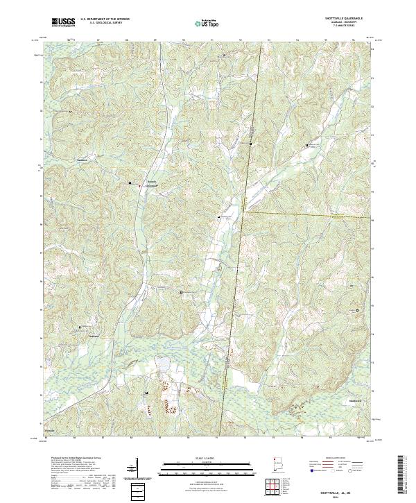 2024 Shottsville2024 Print · USGSModern Marion County and the Mississippi borderlands come to life here, showing the enduring rural network of Alabama's northwest corner. Researchers can trace family history through a dozen burial sites like Spearman Cem and Donham Cem near Shottsville.
 - 2024 Map of Red Bay, 2024 Print
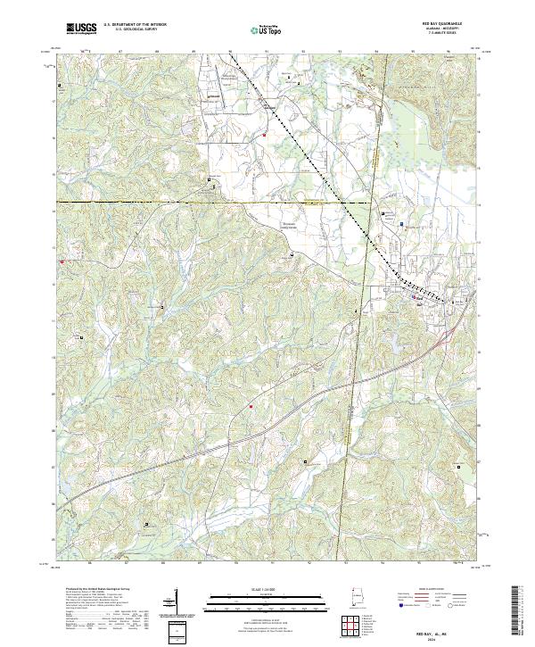 2024 Red Bay2024 Print · USGSThe Alabama-Mississippi state line comes alive in this 2024 survey of the Red Bay and Belmont area. Researchers can trace family history through numerous sites like Burges Cem African American and New Bethel Cem or explore the terrain of the Freedom Hills.
Showing maps 1-25 of 32
Top cities of Itawamba County
Frequently asked questions
- What are the different types of historical maps available for Itawamba County?
- What is the oldest map of Itawamba County?
- Where can I purchase historical maps of Itawamba County for my home or office?
- Where can I download high-res historical maps of Itawamba County?
- Are there historical topographic maps available for Itawamba County?
- Is there historical aerial imagery available for Itawamba County?
- Where are historical maps of Itawamba County sourced from?