2000s (21st Century) Maps of Itawamba County, Mississippi
Explore 80 historic maps of Itawamba County from the 2000s (21st Century). These maps offer a rare glimpse into what life looked like during the 2000s — showing old roads, neighborhoods, homes, and landmarks that have changed or disappeared over time.
Whether you're researching your family's past, planning a metal detecting trip, or studying how Itawamba County's landscape evolved across the 2000s, these high-resolution maps are a powerful tool for exploring the history of this region.
- Focus on a specific era: All maps on this page are from the 2000s, giving you a focused view of this time period.
- See what’s changed: Compare century-old streets, trails, and buildings to today's modern landscape using overlays and satellite layers.
- Research with precision: Use these maps for genealogy, historical research, land use analysis, or educational projects.
- View, download, or print: Maps are fully viewable online in high resolution, and can be downloaded or printed for your own records.
Start exploring Itawamba County's history through authentic maps from the 2000s. This is your window into the past.
Itawamba County, MS maps
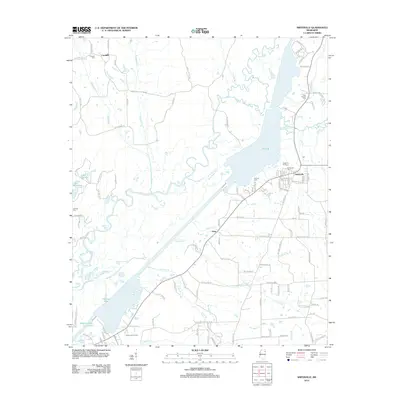
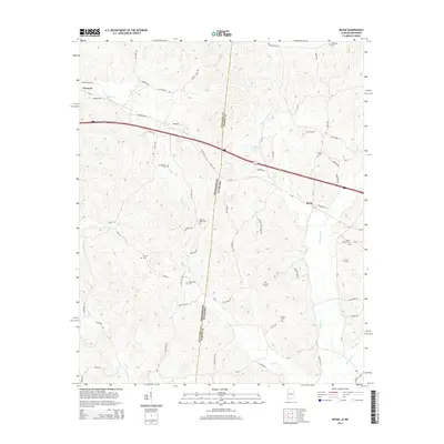
(80)- 2011 Map of Detroit, 2011 Print
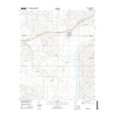
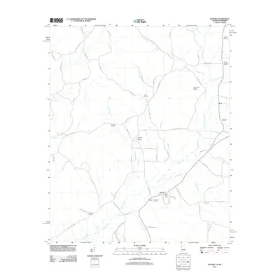 2011 Detroit2011 Print · USGSCovers Itawamba County, including Detroit, Byrd, and other nearby areas
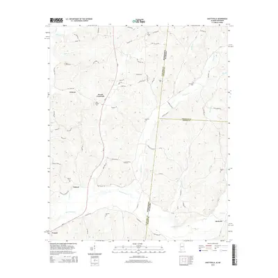
 - 2011 Map of Shottsville, 2011 Print
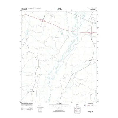
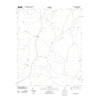 2011 Shottsville2011 Print · USGSCovers Itawamba County, including Tremont, Oakland, and other nearby areas
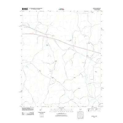
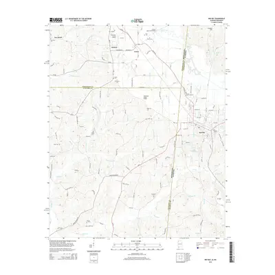
 - 2011 Map of Red Bay, 2011 Print
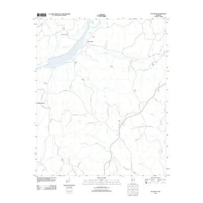
 2011 Red Bay2011 Print · USGSCovers Itawamba County, including Red Bay, Belmont, and other nearby areas
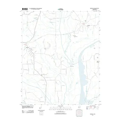
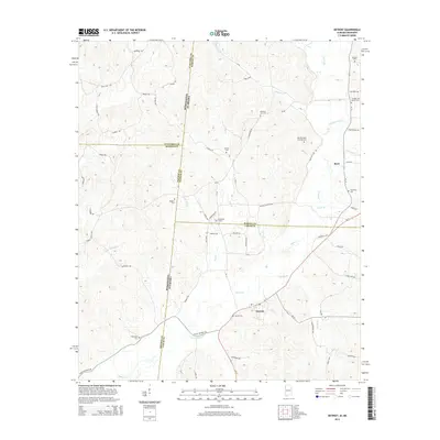
 - 2011 Map of Bexar, 2011 Print
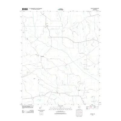
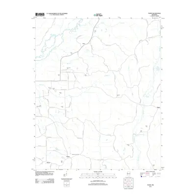
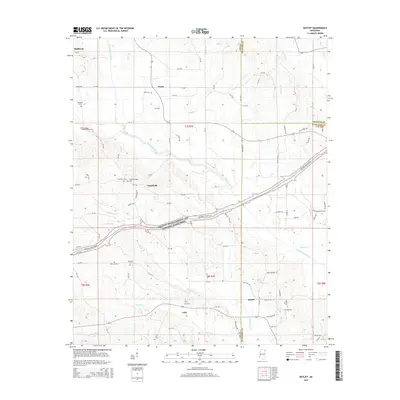
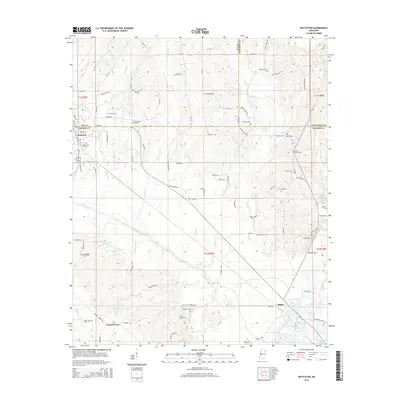
 2011 Bexar2011 Print · USGSCovers Itawamba County, including Tremont, Bexar, and other nearby areas
 - 2012 Map of Ratliff, 2012 Print
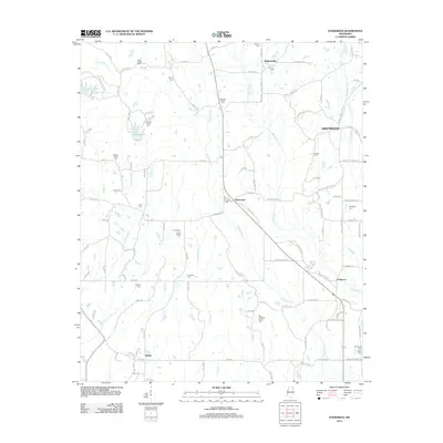
 2012 Ratliff2012 Print · USGSCovers Itawamba County, including Baldwyn, Pratts, and other nearby areas
 - 2012 Map of Fulton NE, 2012 Print
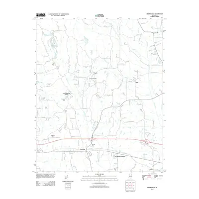
 2012 Fulton NE2012 Print · USGSCovers Itawamba County, including Moores Mill, Prentiss County, and other nearby areas
 - 2012 Map of Fulton SE, 2012 Print
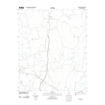 2012 Fulton SE2012 Print · USGSCovers Itawamba County, including Fulton, Tremont, and other nearby areas
 - 2012 Map of Evergreen, 2012 Print
 2012 Evergreen2012 Print · USGSCovers Itawamba County, including Ballardsville, Greenwood, and other nearby areas
 - 2012 Map of Tremont, 2012 Print
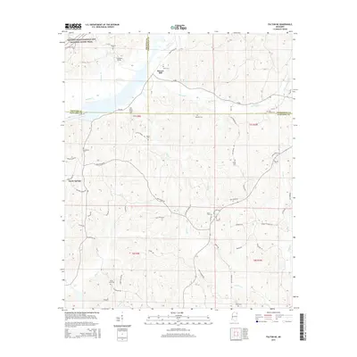
 2012 Tremont2012 Print · USGSCovers Itawamba County, including Tremont, New Salem, and other nearby areas
 - 2012 Map of Turon, 2012 Print
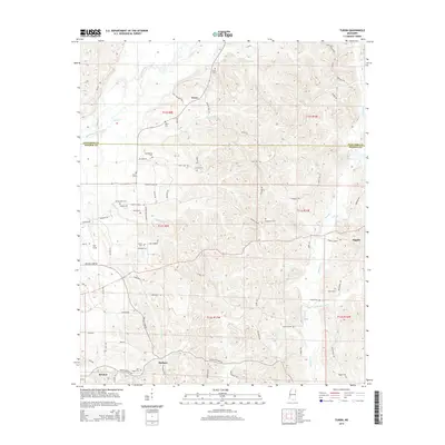
 2012 Turon2012 Print · USGSCovers Itawamba County, including Bristow, Turon, and other nearby areas
 - 2012 Map of Mooreville, 2012 Print
 2012 Mooreville2012 Print · USGSCovers Itawamba County, including Mantachie, Suburban Acres, and other nearby areas
 - 2012 Map of Nettleton, 2012 Print
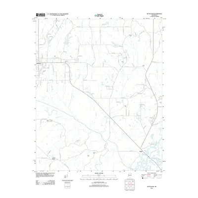 2012 Nettleton2012 Print · USGSCovers Itawamba County, including Amory, Nettleton, and other nearby areas
 - 2012 Map of Smithville, 2012 Print
 2012 Smithville2012 Print · USGSCovers Itawamba County, including Amory, Smithville, and other nearby areas
 - 2012 Map of Beans Ferry, 2012 Print
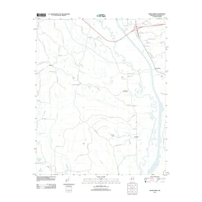 2012 Beans Ferry2012 Print · USGSCovers Itawamba County, including Fulton, Van Buren, and other nearby areas
 - 2012 Map of Kirkville, 2012 Print
 2012 Kirkville2012 Print · USGSCovers Itawamba County, including Marietta, Ozark, and other nearby areas
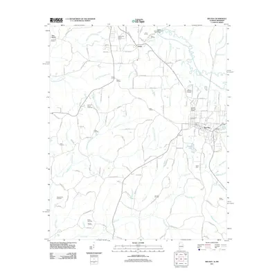
 - 2012 Map of Fulton, 2012 Print
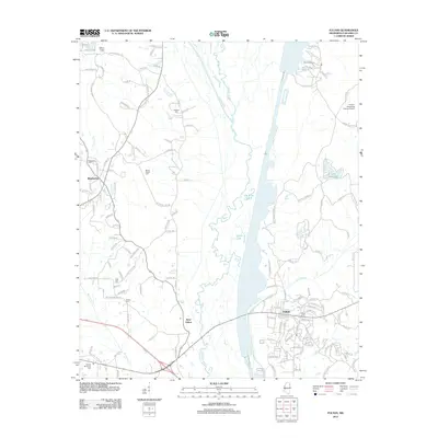 2012 Fulton2012 Print · USGSCovers Itawamba County, including Fulton, Mantachie, and other nearby areas
 - 2014 Map of Bexar, 2014 Print
 2014 Bexar2014 Print · USGSCovers Itawamba County, including Tremont, Bexar, and other nearby areas
 - 2014 Map of Detroit, 2014 Print
 2014 Detroit2014 Print · USGSCovers Itawamba County, including Detroit, Byrd, and other nearby areas
 - 2014 Map of Red Bay, 2014 Print
 2014 Red Bay2014 Print · USGSCovers Itawamba County, including Red Bay, Belmont, and other nearby areas
 - 2014 Map of Shottsville, 2014 Print
 2014 Shottsville2014 Print · USGSCovers Itawamba County, including Tremont, Oakland, and other nearby areas
 - 2015 Map of Ratliff, 2015 Print
 2015 Ratliff2015 Print · USGSCovers Itawamba County, including Baldwyn, Pratts, and other nearby areas
 - 2015 Map of Fulton NE, 2015 Print
 2015 Fulton NE2015 Print · USGSCovers Itawamba County, including Moores Mill, Prentiss County, and other nearby areas
 - 2015 Map of Turon, 2015 Print
 2015 Turon2015 Print · USGSCovers Itawamba County, including Bristow, Turon, and other nearby areas
 - 2015 Map of Nettleton, 2015 Print
 2015 Nettleton2015 Print · USGSCovers Itawamba County, including Amory, Nettleton, and other nearby areas
 - 2015 Map of Kirkville, 2015 Print
 2015 Kirkville2015 Print · USGSCovers Itawamba County, including Marietta, Ozark, and other nearby areas
Showing maps 1-25 of 80
Top cities of Itawamba County
Frequently asked questions
- What are the different types of historical maps available for Itawamba County?
- What is the oldest map of Itawamba County?
- Where can I purchase historical maps of Itawamba County for my home or office?
- Where can I download high-res historical maps of Itawamba County?
- Are there historical topographic maps available for Itawamba County?
- Is there historical aerial imagery available for Itawamba County?
- Where are historical maps of Itawamba County sourced from?