2010s Maps of Itawamba County, Mississippi
Explore 48 historic maps of Itawamba County from the 2010s. These maps offer a rare glimpse into what life looked like during the 2010s — showing old roads, neighborhoods, homes, and landmarks that have changed or disappeared over time.
Whether you're researching your family's past, planning a metal detecting trip, or studying how Itawamba County's landscape evolved across the 2010s, these high-resolution maps are a powerful tool for exploring the history of this region.
- Focus on a specific era: All maps on this page are from the 2010s, giving you a focused view of this time period.
- See what’s changed: Compare century-old streets, trails, and buildings to today's modern landscape using overlays and satellite layers.
- Research with precision: Use these maps for genealogy, historical research, land use analysis, or educational projects.
- View, download, or print: Maps are fully viewable online in high resolution, and can be downloaded or printed for your own records.
Start exploring Itawamba County's history through authentic maps from the 2010s. This is your window into the past.
Itawamba County, MS maps
(48)- 2011 Map of Detroit, 2011 Print
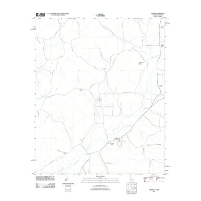 2011 Detroit2011 Print · USGSThe Alabama-Mississippi borderlands around Detroit appear in clear detail during the early twenty-first century. Genealogists and local historians can locate several family landmarks, including the Holligan and Moore Cemetery, Shelton Cemetery, and the West Detroit Gas Field.
 - 2011 Map of Shottsville, 2011 Print
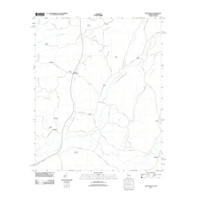 2011 Shottsville2011 Print · USGSThe Alabama-Mississippi borderlands come into focus in this recent survey of the rural landscape near Itawamba County. Researchers can trace family roots at numerous local sites including Oakland Cemetery, Bounds Crossroads, and Spearman Cemetery.
 - 2011 Map of Red Bay, 2011 Print
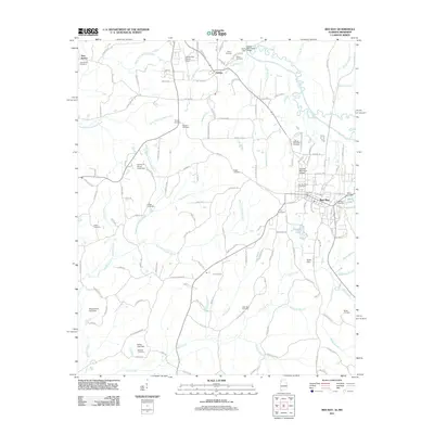 2011 Red Bay2011 Print · USGSThe Alabama-Mississippi border comes into focus in the early twenty-first century, centered on the growing community of Red Bay. Researchers can trace local lineage across dozens of rural landmarks, including New Bethel Cemetery, Bates Lake, and the Tishomingo County Airport.
 - 2011 Map of Bexar, 2011 Print
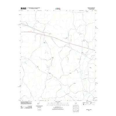 2011 Bexar2011 Print · USGSThe Alabama-Mississippi borderlands around Bexar are captured in the early twenty-first century, revealing a landscape etched with family history. Researchers can locate numerous local burial sites including Bexar Cemetery, Concord Cemetery, and Mount Zion Cemetery.
 - 2012 Map of Ratliff, 2012 Print
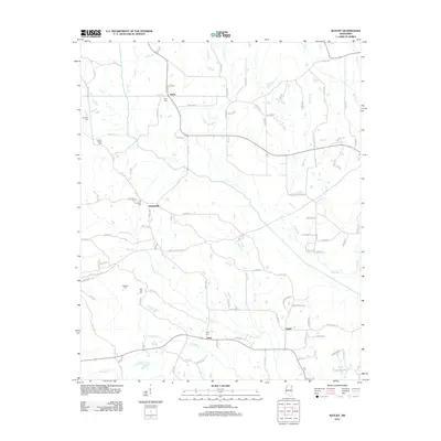 2012 Ratliff2012 Print · USGSNortheast Mississippi’s rural landscape is mapped here in the early twenty-first century, featuring the headwaters of the Tombigbee River system. Genealogists can locate several family-named burial grounds including Peterson Cem, Red Hill Cem, and Tennelue Cem.
 - 2012 Map of Fulton NE, 2012 Print
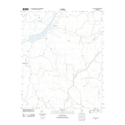 2012 Fulton NE2012 Print · USGSTishomingo County’s rural crossroads and stream valleys are captured here as they appeared in the early twenty-first century. Family history researchers can locate numerous burial sites and small settlements, including Moores Mill, Old Bethel Cem, and the Caveness Bridge.
 - 2012 Map of Fulton SE, 2012 Print
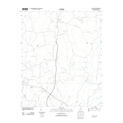 2012 Fulton SE2012 Print · USGSItawamba County’s rural landscape is meticulously detailed in this early 2010s survey of the areas around Fairview and Clay. Researchers can trace family roots through a high density of local sites like Palmetto Cem, Martin Cem, and the Fairview Lookout Tower.
 - 2012 Map of Evergreen, 2012 Print
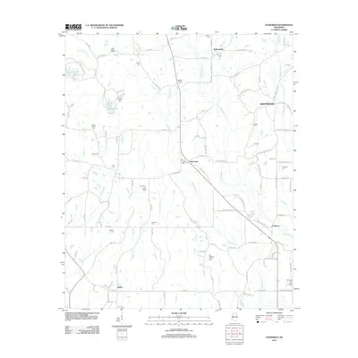 2012 Evergreen2012 Print · USGSItawamba County’s rural landscape is captured here in the early twenty-first century, showing a region deeply rooted in family history and small-town life. Genealogists can trace decades of local heritage through numerous burial sites like Kellys Chapel Cem, Pettigrew-Ivy Family Cem, and Shumpert Cem.
 - 2012 Map of Tremont, 2012 Print
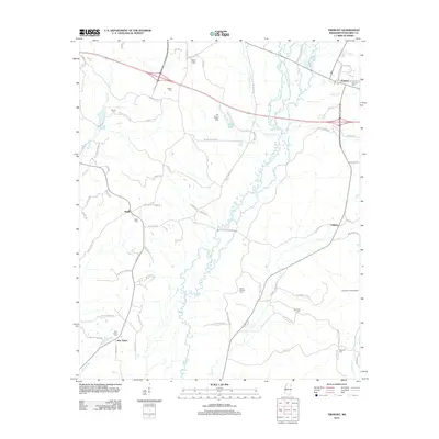 2012 Tremont2012 Print · USGSItawamba County’s hill country and the town of Tremont are shown here in the early twenty-first century. Researchers can trace family ties through numerous rural landmarks like Tilden Cem, the community of Cadamy, and the Hopewell Lookout Tower.
 - 2012 Map of Turon, 2012 Print
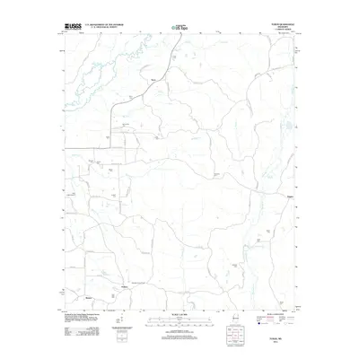 2012 Turon2012 Print · USGSMonroe County, Mississippi, is shown here in the early twenty-first century as a landscape of rural hamlets and family-named landmarks. Researchers can trace ancestral locations at New Hope Cem or Gilliland Cem and explore the historic connections between Turon and Parham.
 - 2012 Map of Mooreville, 2012 Print
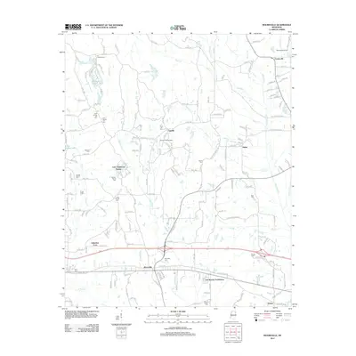 2012 Mooreville2012 Print · USGSItawamba County’s rural landscape is captured here in the early twenty-first century, showing the established communities and family-named cemeteries of eastern Mississippi. Genealogists can locate ancestors at the Union Hill Cem, Boguefala Cem, or Pound Family Cem while tracing the waters of Boguefala Cr.
 - 2012 Map of Nettleton, 2012 Print
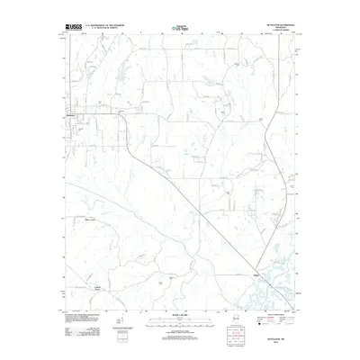 2012 Nettleton2012 Print · USGSThe borderlands of Monroe and Lee Counties are captured here in the early twenty-first century, showing a landscape defined by its river bottoms and rural crossroads. Researchers can trace family history through several local landmarks like Providence Cem, Pisgah Cem, and the settlement of Bigbee.
 - 2012 Map of Smithville, 2012 Print
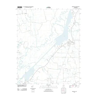 2012 Smithville2012 Print · USGSMonroe County, Mississippi, is shown here during a period of modern growth and well-preserved rural character in the early twenty-first century. Researchers can trace local lineage through burial grounds like New Chapel Cem or explore the water-bound geography of Pool B and Malone Lake.
 - 2012 Map of Beans Ferry, 2012 Print
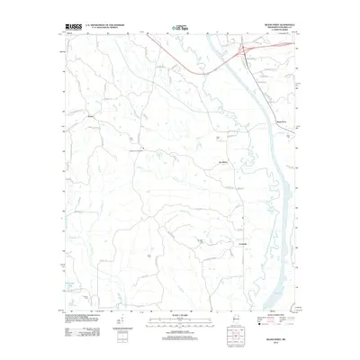 2012 Beans Ferry2012 Print · USGSItawamba County’s riverfront history is preserved here along the Tombigbee River corridor in the early twenty-first century. Researchers can trace the rural landscape of Van Buren and Cardsville or locate family sites at Keys Cem and Bean Cem.
 - 2012 Map of Kirkville, 2012 Print
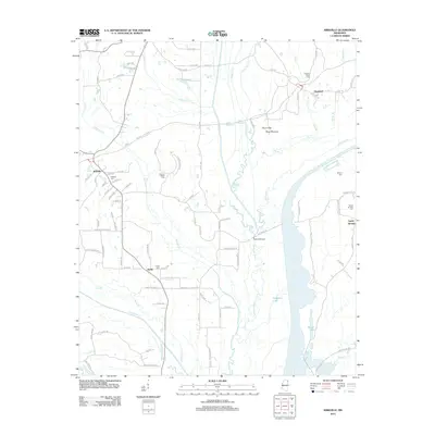 2012 Kirkville2012 Print · USGSMississippi's rural Prentiss County landscape is captured here in the early twenty-first century, centered on the ancient Pharr Mounds and the Natchez Trace Pkwy. Researchers can locate family sites at Kirkville Cem or trace the waterways of Ferguson Lake and the Tombigbee River.
 - 2012 Map of Fulton, 2012 Print
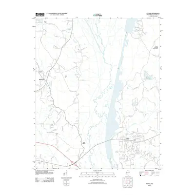 2012 Fulton2012 Print · USGSItawamba County’s riverfront and rural uplands are shown in detail during this period of the early 2010s. Researchers can locate numerous family landmarks and burial sites such as Dorsey Memorial Cem, Mount Pisgah Cem, and Warren Chapel Cem near Mantachie.
 - 2014 Map of Bexar, 2014 Print
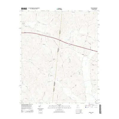 2014 Bexar2014 Print · USGSThe rural borderlands between Itawamba County and Marion County are meticulously documented in the mid-2010s. Genealogists can trace family landmarks across the state line, from the Bexar Cem and Robinson Cem to the winding course of Sipsey Cr.
 - 2014 Map of Detroit, 2014 Print
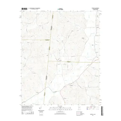 2014 Detroit2014 Print · USGSThe Alabama-Mississippi state line marks this rural landscape as it appeared in the early 21st century. Genealogists can trace family histories through numerous sites like Carter Cem, Pleasant Site Cem, and the old Dinky Line Rd.
 - 2014 Map of Red Bay, 2014 Print
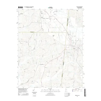 2014 Red Bay2014 Print · USGSThe Alabama-Mississippi borderlands around Red Bay are captured here in the early 2010s, showing a landscape defined by the Tennessee Valley Divide. Researchers can locate numerous family-named landmarks and burial grounds, such as Hillcrest Memorial Gardens, Tharp Cem, and New Bethel Cem.
 - 2014 Map of Shottsville, 2014 Print
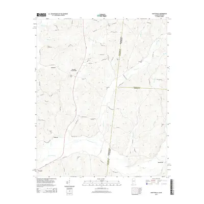 2014 Shottsville2014 Print · USGSThe Mississippi-Alabama borderlands come to life in this detailed 2014 study of the rural terrain near the Itawamba and Marion county lines. Researchers can trace ancestral locations through numerous burial grounds like Hopewell Cemetery and small communities such as Shottsville and Bounds Crossroads.
 - 2015 Map of Ratliff, 2015 Print
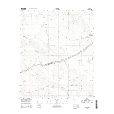 2015 Ratliff2015 Print · USGSNortheast Mississippi’s rural landscape is captured here during the mid-2010s, where Lee, Prentiss, and Itawamba counties converge. Researchers can trace historic burial sites like Old Friendship Cem or follow the path of the Natchez Trace Pkwy through Chapelville and Unity.
 - 2015 Map of Fulton NE, 2015 Print
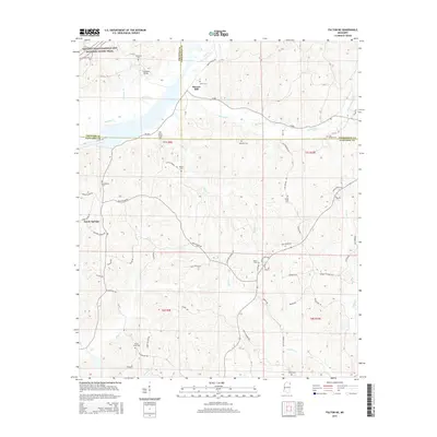 2015 Fulton NE2015 Print · USGSIn the hills where Prentiss, Tishomingo, and Itawamba counties converge, this survey captures the rural landscape of Northeast Mississippi. Genealogists can locate numerous local burying grounds including Saucer Creek Cem and Old Bethel Cem near Moores Mill.
 - 2015 Map of Turon, 2015 Print
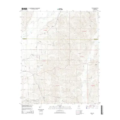 2015 Turon2015 Print · USGSUpper Monroe County and southern Itawamba County are shown here in the mid-2010s, capturing the enduring rural character of the Mississippi hills. Local historians can trace family roots through numerous sites like Dyer Cem, Springfield Cem, and the industry at Sams Sawmill Rd.
 - 2015 Map of Nettleton, 2015 Print
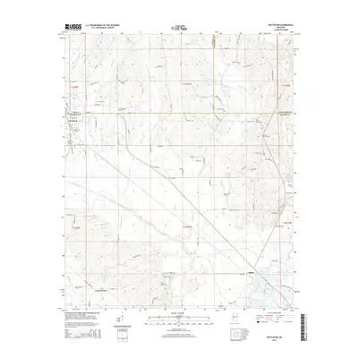 2015 Nettleton2015 Print · USGSNettleton and the surrounding Monroe County countryside are detailed here during the mid-2010s. Researchers can locate numerous family burial grounds and small communities, including Atkins Cemetery, Central Grove, and Bigbee near the Tombigbee River.
 - 2015 Map of Kirkville, 2015 Print
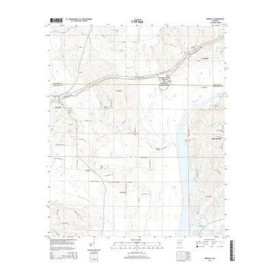 2015 Kirkville2015 Print · USGSNortheastern Mississippi at the Prentiss and Itawamba county line is defined by the historic path of the Natchez Trace Parkway. Researchers can trace old family sites and rural landmarks like the Pharr Mounds, Kirkville Cem, and the quiet waters of Ferguson Lake.
Showing maps 1-25 of 48
Top cities of Itawamba County
Frequently asked questions
- What are the different types of historical maps available for Itawamba County?
- What is the oldest map of Itawamba County?
- Where can I purchase historical maps of Itawamba County for my home or office?
- Where can I download high-res historical maps of Itawamba County?
- Are there historical topographic maps available for Itawamba County?
- Is there historical aerial imagery available for Itawamba County?
- Where are historical maps of Itawamba County sourced from?