2020s Maps of Jackson County, Mississippi
Explore 50 historic maps of Jackson County from the 2020s. These maps offer a rare glimpse into what life looked like during the 2020s — showing old roads, neighborhoods, homes, and landmarks that have changed or disappeared over time.
Whether you're researching your family's past, planning a metal detecting trip, or studying how Jackson County's landscape evolved across the 2020s, these high-resolution maps are a powerful tool for exploring the history of this region.
- Focus on a specific era: All maps on this page are from the 2020s, giving you a focused view of this time period.
- See what’s changed: Compare century-old streets, trails, and buildings to today's modern landscape using overlays and satellite layers.
- Research with precision: Use these maps for genealogy, historical research, land use analysis, or educational projects.
- View, download, or print: Maps are fully viewable online in high resolution, and can be downloaded or printed for your own records.
Start exploring Jackson County's history through authentic maps from the 2020s. This is your window into the past.
Jackson County, MS maps
(50)- 2020 Map of Grand Bay SW, 2020 Print
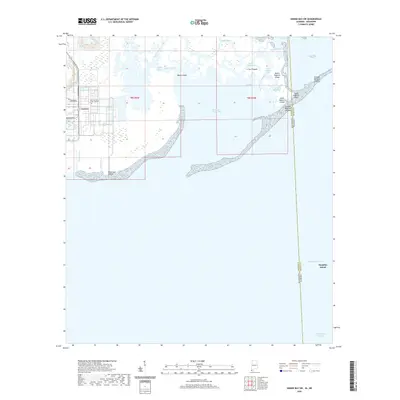 2020 Grand Bay SW2020 Print · USGSThe Alabama and Mississippi coastal border comes alive in this recent survey of the bayous and barrier islands. Researchers can trace the shifting sands and tidal channels of Grande Batture Islands, Bangs Island, and the waters of the Mississippi Sound.
 - 2020 Map of Gautier South, 2020 Print
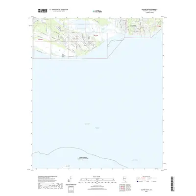 2020 Gautier South2020 Print · USGSCoastal Jackson County is captured here in the early 2020s, showing the intersection of residential growth and protected wetlands. Researchers can trace family history at Bethel Cem or study the protected landscape of Gulf Islands National Seashore and Horn Island.
 - 2020 Map of Dog Keys Pass, 2020 Print
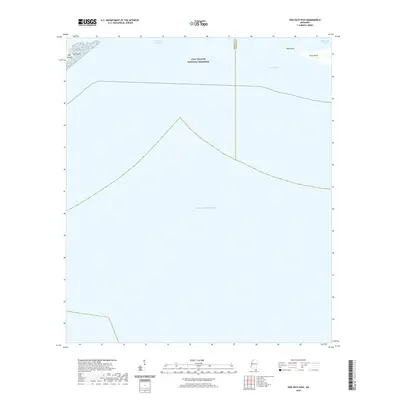 2020 Dog Keys Pass2020 Print · USGSThe Mississippi barrier islands are captured in this recent survey, showing the relationship between the sound and the open sea. Map enthusiasts can trace the shifting sands of East Point on Ship Island and the maritime boundary at Dog Keys Pass.
 - 2020 Map of Kreole, 2020 Print
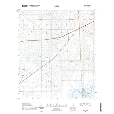 2020 Kreole2020 Print · USGSCoastal Jackson County comes to life in this recent survey of the Mississippi-Alabama borderlands during the early twenty-first century. Researchers can trace the development of Moss Point and Kreole or locate family sites like Kivisto Cem and Orange Grove Cem.
 - 2020 Map of Vancleave, 2020 Print
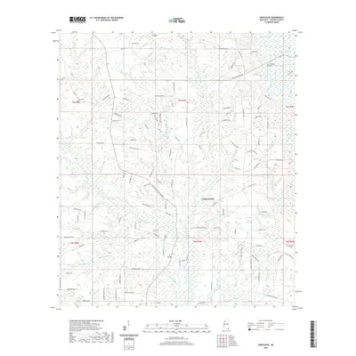 2020 Vancleave2020 Print · USGSVancleave and the surrounding wetlands of Jackson County appear here in the early twenty-first century as the landscape's river-driven character remains clear. Researchers can locate family landmarks like Old Shiloh Cem, trace the course of the Pascagoula River, or find the crossing at the Roy Cumbest Bridge.
 - 2020 Map of Three Rivers, 2020 Print
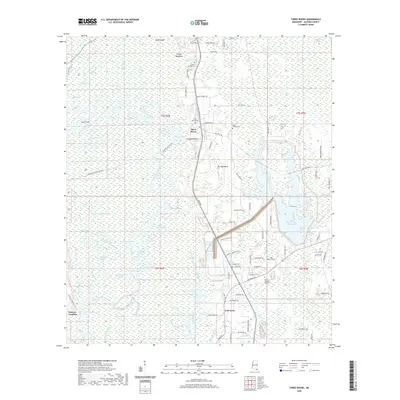 2020 Three Rivers2020 Print · USGSCoastal Mississippi river lands near the turn of the decade are defined by the winding Pascagoula River and its many bayous. Genealogists can trace family heritage through local landmarks like Cumbest Bluff and several burial sites including Three Rivers Cem and Davis Chapel Cem.
 - 2020 Map of Horn Island West, 2020 Print
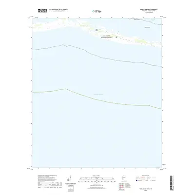 2020 Horn Island West2020 Print · USGSThe Mississippi barrier islands are shown in detail here just before the turn of the decade. Marine researchers and local historians can trace the delicate shoreline of Horn Island and examine submerged features like the Middle Ground and The Horseshoe.
 - 2020 Map of Pascagoula North, 2020 Print
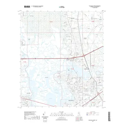 2020 Pascagoula North2020 Print · USGSThe coastal Mississippi delta comes alive in this survey of the river's confluence during the early twenty-first century. Genealogists and historians can trace family locations near Evergreen Memorial Gardens, the historic Escatawpa settlement, and the industrial neighborhoods of Kreole.
 - 2020 Map of Deer Island, 2020 Print
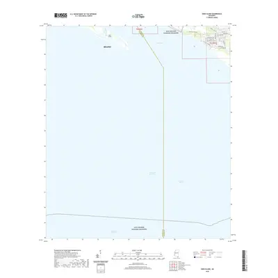 2020 Deer Island2020 Print · USGSThe Mississippi Gulf Coast at the start of the 2020s shows a landscape defined by protected maritime reaches and modern coastal neighborhoods. Researchers can trace the shoreline from Biloxi to Deer Island and explore the residential street grids along Marsh Island Dr and Seaclife Blvd.
 - 2020 Map of Pascagoula South, 2020 Print
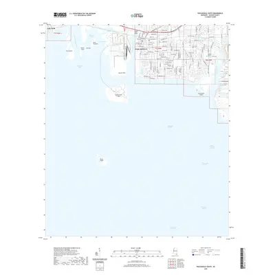 2020 Pascagoula South2020 Print · USGSCoastal Mississippi comes into focus in this recent survey of the bustling river-and-sound landscape. Genealogists and historians can trace the streets of Pascagoula from the Jackson County Courthouse to landmarks like Memorial Gardens Cem and Singing River Island.
 - 2020 Map of Hurley, 2020 Print
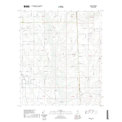 2020 Hurley2020 Print · USGSJackson County and the Alabama borderlands appear here in the modern era, where the Escatawpa River carves through a landscape of swamps and bluffs. Genealogists can locate Tanners Cem and Joyner Cem or trace family sites near Yellow Bluff and Hurley.
 - 2020 Map of Petit Bois Island, 2020 Print
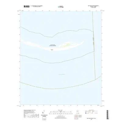 2020 Petit Bois Island2020 Print · USGSCoastal Alabama and Mississippi intersect at this barrier island sanctuary in 2020. Conservationists and maritime historians can trace the exact modern boundaries of the Gulf Islands National Seashore and the isolated shore of Petit Bois Island.
 - 2020 Map of Easen Hill, 2020 Print
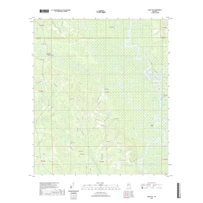 2020 Easen Hill2020 Print · USGSJackson County and George County meet along the Pascagoula River in this recent survey of Mississippi's riverine bottomlands. Genealogists can locate family landmarks like Pine Grove Cem and Jeff White Cem among the oxbows of Upper Ramsey Lake.
 - 2020 Map of Gautier North, 2020 Print
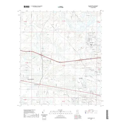 2020 Gautier North2020 Print · USGSCoastal Jackson County is captured here in the early twenty-first century as the areas between the bayous underwent steady residential growth. Genealogists and local historians can locate Taylor Cem, the Lighthouse, and the historic settlement at Fountainebleau.
 - 2020 Map of Horn Island East, 2020 Print
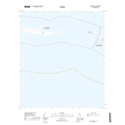 2020 Horn Island East2020 Print · USGSThe barrier islands of Jackson County appear here in the early twenty-first century, anchored by the protected reaches of the Gulf Islands National Seashore. Trace the maritime boundaries of Horn Island, Petit Bois Island, and the strategic Horn Island Pass.
 - 2020 Map of Ocean Springs, 2020 Print
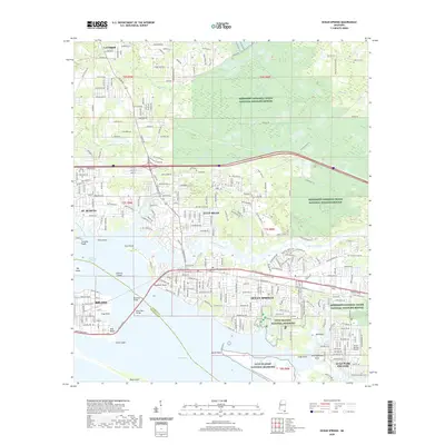 2020 Ocean Springs2020 Print · USGSThe Mississippi coast at the turn of the decade shows the intricate connection between urban Biloxi and the natural reaches of Biloxi Bay. Trace the modern landscape from Deer Island to the pine woods of the Antioch Cem and the Gulf Hills community.
 - 2020 Map of Harleston, 2020 Print
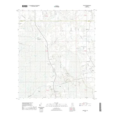 2020 Harleston2020 Print · USGSJackson County at the start of the 2020s shows a landscape of deep southern wetlands and historic rural settlements. Family historians can trace local roots through the Old Carter Historic Cem, Old Americus, and the Oak Grove Cem near Wade.
 - 2020 Map of Big Point, 2020 Print
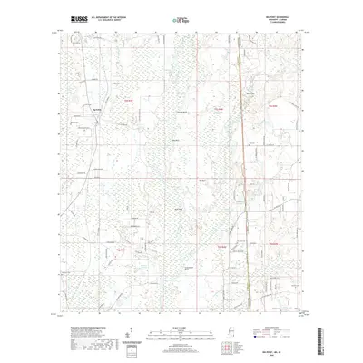 2020 Big Point2020 Print · USGSTracing the border of Mississippi and Alabama, this modern survey details the wetlands and bluffs surrounding the Escatawpa River. Genealogists can locate family-named sites such as Big Point Cem, W R Clark Cem, and Rubenhouse Bluff.
 - 2020 Map of Biloxi, 2020 Print
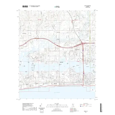 2020 Biloxi2020 Print · USGSThe Mississippi Gulf Coast is captured here in the contemporary era, showing the urban expansion of Biloxi and D'Iberville. Researchers can trace local heritage at the Beauvoir Confederate Cem or locate the sprawling Keesler Air Force Base.
 - 2021 Map of White Plains, 2021 Print
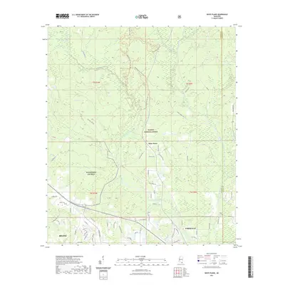 2021 White Plains2021 Print · USGSHarrison County's interior pine forests and river systems are shown here in the early twenty-first century as coastal communities expand northward. Researchers can locate family landmarks like Walden Cem and Krohn Cem or trace the winding Tchoutacabouffa River.
 - 2021 Map of Vestry, 2021 Print
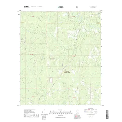 2021 Vestry2021 Print · USGSThe rural timberlands of Jackson and George County are documented here in the early 2020s, centered on the community of Vestry. Family researchers can locate local burial grounds including Byrd Cem and Carter Cem tucked away near Red Creek.
 - 2021 Map of Latimer, 2021 Print
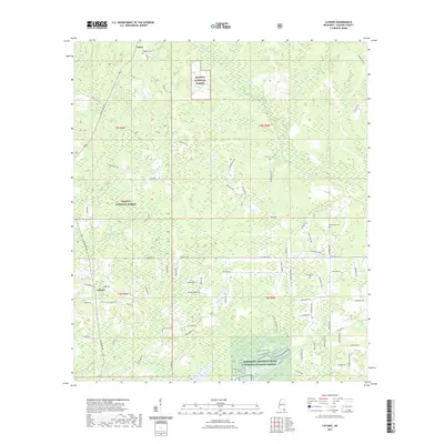 2021 Latimer2021 Print · USGSJackson County rural life and conservation lands are captured here in the early 2020s. Genealogists and local historians can trace family locations near Wilkerson Cem, Bethel Hill Church, and the community of Latimer.
 - 2021 Map of Beatrice, 2021 Print
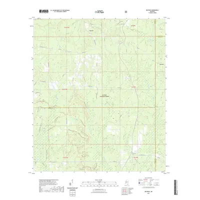 2021 Beatrice2021 Print · USGSDeep in the pine woods where four Mississippi counties meet, this survey shows the rural landscape near the turn of the twenty-first century. Researchers can trace the legacy of local families and industry through Walker Cem, the old Wire Road East, and the winding Tuxachanie Hiking Trail.
 - 2024 Map of Vancleave, 2024 Print
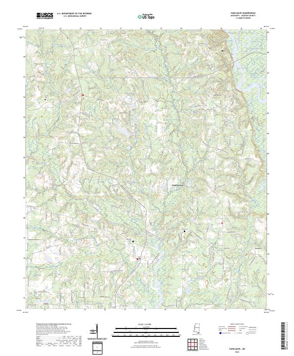 2024 Vancleave2024 Print · USGSThe Vancleave area of Jackson County is shown here in its modern context, defined by the winding Pascagoula River and its intricate bayous. Researchers can trace family history at Vancleave Cem or explore the river landings along Poticaw Landing Rd and Ward Bayou.
 - 2024 Map of White Plains, 2024 Print
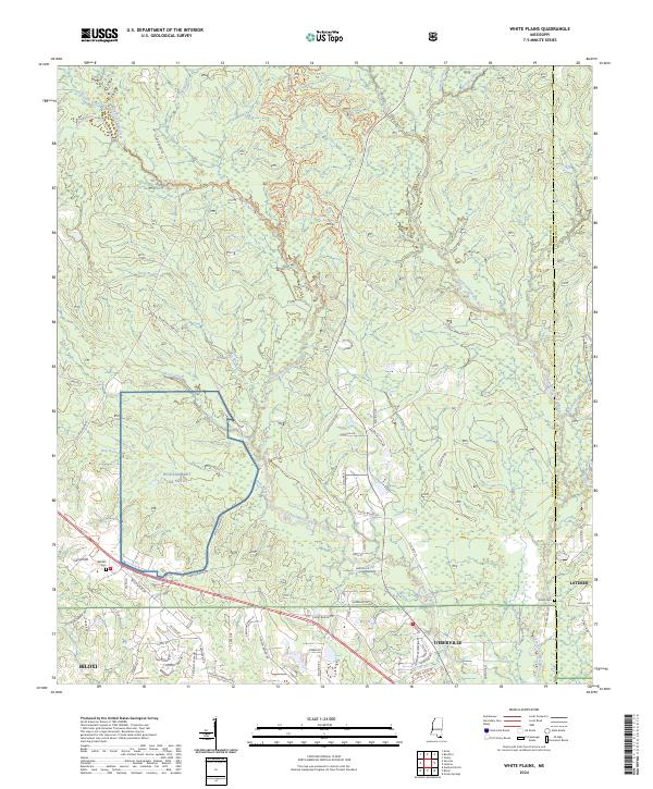 2024 White Plains2024 Print · USGSHarrison County's coastal interior is captured here in the early twenty-first century, showing the northward expansion from the Gulf. Genealogists can locate family sites like Walden Cem and Krohn Cem among the waters of the Tchoutacabouffa River.
Showing maps 1-25 of 50
Top cities of Jackson County
- Pascagoula historical maps
- Ocean Springs historical maps
- Gautier historical maps
- Moss Point historical maps
Frequently asked questions
- What are the different types of historical maps available for Jackson County?
- What is the oldest map of Jackson County?
- Where can I purchase historical maps of Jackson County for my home or office?
- Where can I download high-res historical maps of Jackson County?
- Are there historical topographic maps available for Jackson County?
- Is there historical aerial imagery available for Jackson County?
- Where are historical maps of Jackson County sourced from?