2010s Maps of Jackson County, Mississippi
Explore 69 historic maps of Jackson County from the 2010s. These maps offer a rare glimpse into what life looked like during the 2010s — showing old roads, neighborhoods, homes, and landmarks that have changed or disappeared over time.
Whether you're researching your family's past, planning a metal detecting trip, or studying how Jackson County's landscape evolved across the 2010s, these high-resolution maps are a powerful tool for exploring the history of this region.
- Focus on a specific era: All maps on this page are from the 2010s, giving you a focused view of this time period.
- See what’s changed: Compare century-old streets, trails, and buildings to today's modern landscape using overlays and satellite layers.
- Research with precision: Use these maps for genealogy, historical research, land use analysis, or educational projects.
- View, download, or print: Maps are fully viewable online in high resolution, and can be downloaded or printed for your own records.
Start exploring Jackson County's history through authentic maps from the 2010s. This is your window into the past.
Jackson County, MS maps
(69)- 2011 Map of Grand Bay SW, 2011 Print
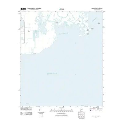 2011 Grand Bay SW2011 Print · USGSThe Alabama and Mississippi shoreline is captured here in the early twenty-first century, showing a complex world of tidal bayous and barrier islands. Researchers can trace the shifting marshes around Bangs Lake, L'Isle Chaude, and the Grande Batture Islands.
 - 2012 Map of Vestry, 2012 Print
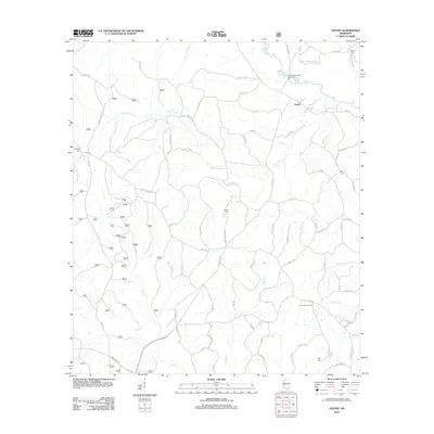 2012 Vestry2012 Print · USGSVestry and the surrounding Jackson County wetlands are captured here in the early twenty-first century as the landscape transitioned between historic timber use and modern recreation. Genealogists and local historians can trace family sites at Ramsey Cem or Byrd Cem and locate landmarks like the Elico Lookout Tower.
 - 2012 Map of Latimer, 2012 Print
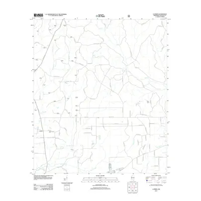 2012 Latimer2012 Print · USGSLatimer and the rural reaches of Jackson County are shown here at the start of the 2010s, defined by its complex network of bayous and creeks. Researchers can locate family heritage sites like Good Hope Cem and Wilkerson Cem, or trace the winding waters of Bluff Cr and Bayou Costapia.
 - 2012 Map of White Plains, 2012 Print
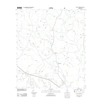 2012 White Plains2012 Print · USGSCoastal Mississippi forest and river lands are documented here in the early twenty-first century as the region balanced rural heritage with modern infrastructure. Genealogists and local researchers can locate Walden Cem, trace the Tchoutacabouffa River, and follow old routes like Blackwell Farm Rd.
 - 2012 Map of Beatrice, 2012 Print
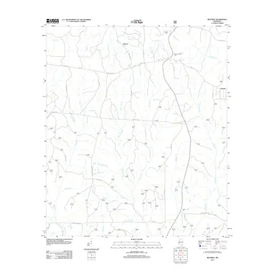 2012 Beatrice2012 Print · USGSCoastal Mississippi's interior pine forests and rural crossroads are captured here during the early 2010s. Genealogists can locate family sites like Broadus Cem and Ramsey Cem while tracing the historic route of Wire Rd E.
 - 2012 Map of Vancleave, 2012 Print
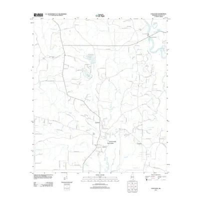 2012 Vancleave2012 Print · USGSThe Pascagoula River basin in Jackson County comes to life in this survey, showing a landscape defined by backwater lakes and river landings. Genealogists can trace local roots at Old Shiloh Cem or Ladner Cem while locating old water-access sites like Dees Landing.
 - 2012 Map of Easen Hill, 2012 Print
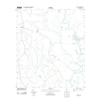 2012 Easen Hill2012 Print · USGSThe Pascagoula River bottomlands in Jackson County come into focus during the early twenty-first century, showing a landscape defined by oxbow lakes and rural settlements. Researchers can trace family history through sites like White Cem and Holly Landing, or locate landmarks such as Sims-Mill Pond and Red Bluff.
 - 2012 Map of Hurley, 2012 Print
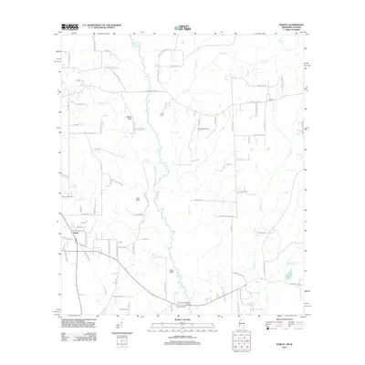 2012 Hurley2012 Print · USGSJackson County at the start of the 2010s reveals a rural landscape deeply tied to the Escatawpa River corridor. Researchers can pinpoint family history sites at Tanners Cem or trace local landmarks like Hurley Lookout Tower and Aerohead Airport.
 - 2012 Map of Three Rivers, 2012 Print
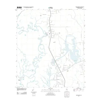 2012 Three Rivers2012 Print · USGSThe Pascagoula River delta in Jackson County comes to life in this map from the early 2010s. Genealogists and historians can trace family roots through several local landmarks like Caswell Springs Cem, Three Rivers, and the riverside Poticaw Landing.
 - 2012 Map of Deer Island, 2012 Print
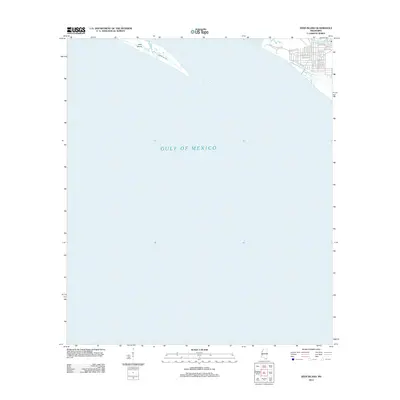 2012 Deer Island2012 Print · USGSThe Mississippi shoreline east of Biloxi is captured here in the early 2010s, showing the developed coast across from the wilder stretches of the sound. Trace the residential growth along Point Aux Chenes Rd or the geography of Deer Island and Grand Bayou.
 - 2012 Map of Gautier North, 2012 Print
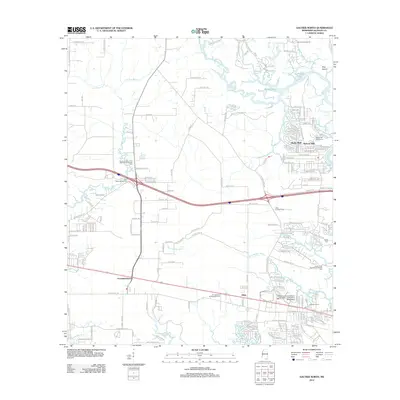 2012 Gautier North2012 Print · USGSIn the early twenty-first century, this area of coastal Mississippi shows a blend of marshland and suburban expansion. Trace local family history at Taylor Cem or explore the waterways of Old Fort Bayou and the Pascagoula River near Martin Bluff.
 - 2012 Map of Ocean Springs, 2012 Print
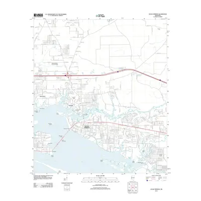 2012 Ocean Springs2012 Print · USGSCoastal Mississippi in the early twenty-first century reveals a landscape of tidal bayous and growing shoreline communities. Genealogists and local historians can trace the development of Ocean Springs and Saint Martin or locate family sites near Antioch Cem and Weeks Bayou.
 - 2012 Map of Big Point, 2012 Print
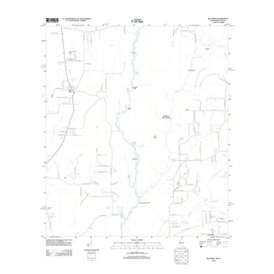 2012 Big Point2012 Print · USGSCrossing the Alabama and Mississippi border in 2012, this survey shows a landscape shaped by the winding Escatawpa River and rural family settlements. Genealogists and local historians can trace legacy sites like Big Point Cem, Tates Cem, and the unique river bluff names like Miles Bluff.
 - 2012 Map of Pascagoula North, 2012 Print
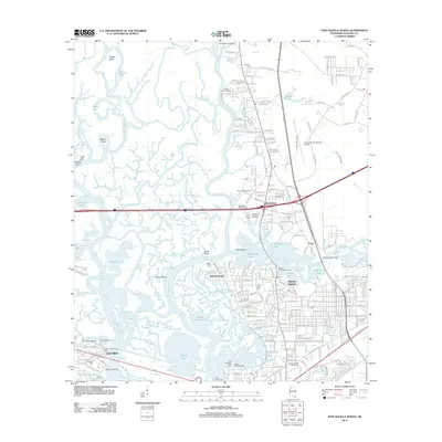 2012 Pascagoula North2012 Print · USGSThe confluence of the Pascagoula and Escatawpa Rivers comes to life in this detailed 2012 portrait of Mississippi’s coastal industrial corridor. Researchers can trace local heritage through the Old Spanish Fort Cem, locate the Jackson County Fairground, and explore the riverfronts near Moss Point and Escatawpa.
 - 2012 Map of Harleston, 2012 Print
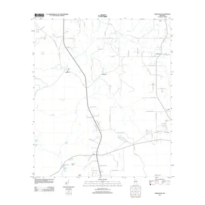 2012 Harleston2012 Print · USGSCoastal Mississippi riverlands come into focus in the early 2010s, showing the intricate sloughs and creek-side settlements of Jackson County. Trace the locations of rural communities like Old Americus and Wade, or locate family sites such as Steede Cem and Carter Cem.
 - 2012 Map of Pascagoula South, 2012 Print
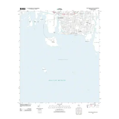 2012 Pascagoula South2012 Print · USGSThe Mississippi coast in the early twenty-first century reveals a dense network of shipyards, residential neighborhoods, and industrial bayous. Genealogists and researchers can trace local landmarks from Memorial Gardens Cem to the waterfronts of East Pascagoula and South Pascagoula.
 - 2012 Map of Kreole, 2012 Print
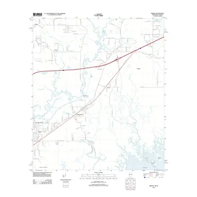 2012 Kreole2012 Print · USGSCoastal Jackson County is captured here in the early twenty-first century, showing the intricate bayou systems east of Moss Point. Researchers can trace family sites near Kivisto Cem, the community at Orange Grove, or the wetlands around Bayou Gumbest.
 - 2012 Map of Dog Keys Pass, 2012 Print
 2012 Dog Keys Pass2012 Print · USGSThe Mississippi coast and the open waters of the Gulf of Mexico define this coastal survey from the early 2010s. Maritime researchers can trace the positions of East Point and West Point to see how these landmarks guarded the sound.
 - 2012 Map of Biloxi, 2012 Print
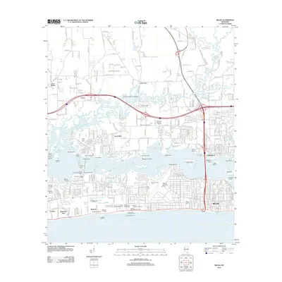 2012 Biloxi2012 Print · USGSThe Mississippi Gulf Coast is captured here in the early twenty-first century, showing the intricate relationship between the bay and the growing city. Trace historic landmarks from Beauvoir and the Old French Cem to the sprawling Keesler Air Force Base.
 - 2012 Map of Gautier South, 2012 Print
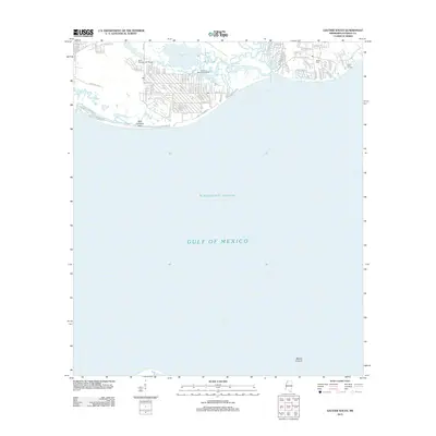 2012 Gautier South2012 Print · USGSThe Gautier coastline comes alive in this survey, showing the residential neighborhoods and bayou networks just after the first decade of the millennium. Researchers can trace local landmarks like Bethel Cem, the Saint Andrews Golf Course, and Camp Lamotte.
 - 2012 Map of Petit Bois Island, 2012 Print
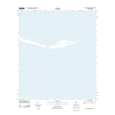 2012 Petit Bois Island2012 Print · USGSThe Gulf Coast's shifting barrier systems are captured here in the early twenty-first century, showing the narrow landmass south of the mainland. Trace the delicate shoreline of Petit Bois Island as it sits surrounded by the open waters of the Gulf of Mexico.
 - 2012 Map of Horn Island West, 2012 Print
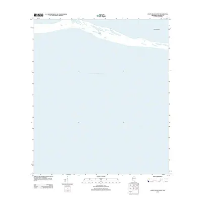 2012 Horn Island West2012 Print · USGSMississippi's barrier islands are captured in this early twenty-first century survey of the Jackson County coast. Researchers can trace the fragile shoreline of Horn Island and the coastal indentation of The Horseshoe amidst the Gulf of Mexico.
 - 2012 Map of Horn Island East, 2012 Print
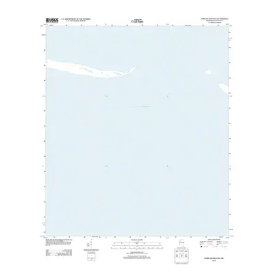 2012 Horn Island East2012 Print · USGSJackson County's barrier islands appear in the early twenty-first century as the sands meet the open Gulf of Mexico. Researchers can trace the shifting footprint of the eastern reaches of Horn Island and its relationship to the surrounding coastal waters.
 - 2014 Map of Grand Bay SW, 2014 Print
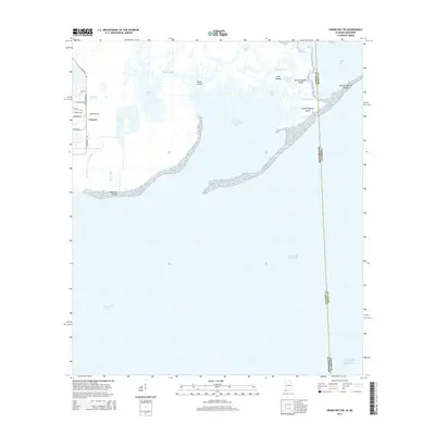 2014 Grand Bay SW2014 Print · USGSCoastal Alabama and Mississippi are defined by their vast marshlands and maritime boundaries in this early twenty-first-century survey. Researchers can trace the intricate shorelines of Grande Batture Islands or locate the settlement at The Prairie near Bangs Lake.
 - 2015 Map of Vancleave, 2015 Print
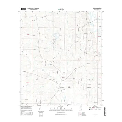 2015 Vancleave2015 Print · USGSCoastal Mississippi settlement and the river valley are captured here as the new century began. Genealogists and local researchers can trace family landmarks like Old Shiloh Cemetery and riverfront points at Dees Landing or McCall Landing.
Showing maps 1-25 of 69
Top cities of Jackson County
- Pascagoula historical maps
- Ocean Springs historical maps
- Gautier historical maps
- Moss Point historical maps
Frequently asked questions
- What are the different types of historical maps available for Jackson County?
- What is the oldest map of Jackson County?
- Where can I purchase historical maps of Jackson County for my home or office?
- Where can I download high-res historical maps of Jackson County?
- Are there historical topographic maps available for Jackson County?
- Is there historical aerial imagery available for Jackson County?
- Where are historical maps of Jackson County sourced from?