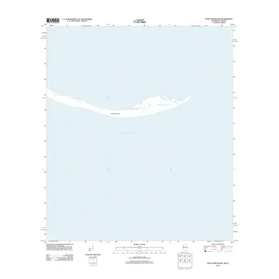
2012 Map of Petit Bois Island
USGS Topo · Published 2012About this map
Petit Bois Island stretches across the northern reaches of the Gulf of Mexico, serving as a critical barrier in this 2012 coastal survey. This topographic study documents the thin, elongated profile of the island at a time when Gulf currents and storm cycles constantly reshape its fragile shoreline. The map focuses almost entirely on the interaction between the landmass and the surrounding sea, capturing the intricate interior ponds and inlets that provide habitat within this maritime environment. Unlike more developed coastal areas, the landscape here remains devoid of infrastructure, reflecting its status as a preserved natural landform. Researchers can use this record to analyze the island's morphology and the shifting sands that define the Mississippi-Alabama border region.
Find a feature on this map
2 named features on this map. Tap any name to fly to it.
Don’t see what you’re looking for? This feature index may not catch every label — zoom into the map to look around manually.
Map Details
Editions of this 2012 Petit Bois Island Map
This is the sole edition of this map. No revisions or reprints were ever made.
Other maps of this area

1921 · Grand Bay
USGS Topo · 1:62,500

1921 · Petit Bois Island
USGS Topo · 1:62,500

1941 · Horn Island
USGS Topo · 1:62,500

1942 · Petit Bois Island
USGS Topo · 1:62,500

1942 · Horn Island
USGS Topo · 1:62,500

1943 · Pascagoula
USGS Topo · 1:62,500

1943 · Grand Bay
USGS Topo · 1:62,500

1953 · Mobile
USGS Topo · 1:250,000

1955 · Pascagoula
USGS Topo · 1:62,500

1957 · Mobile
USGS Topo · 1:250,000