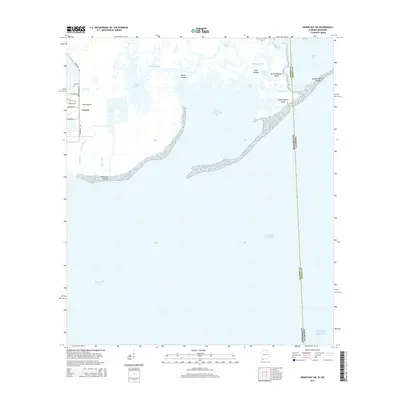
2014 Map of Grand Bay SW
USGS Topo · Published 2014About this map
The Prairie stands as a small inland settlement area on the western edge of this coastal landscape, situated near industrial access roads like Industrial Rd and Port Rd. The map primarily documents the complex estuarine environment where the Mississippi Sound meets a network of marshes and barrier features. The maritime boundary between Jackson and Mobile Counties and the states of Mississippi and Alabama cuts through the aquatic terrain, marking jurisdictional lines across open water and shifting landforms.
Find a feature on this map
29 named features on this map. Tap any name to fly to it.
Don’t see what you’re looking for? This feature index may not catch every label — zoom into the map to look around manually.
Map Details
Editions of this 2014 Grand Bay SW Map
This is the sole edition of this map. No revisions or reprints were ever made.
Other maps of this area

1921 · Grand Bay
USGS Topo · 1:62,500

1921 · Petit Bois Island
USGS Topo · 1:62,500

1941 · Horn Island
USGS Topo · 1:62,500

1942 · Petit Bois Island
USGS Topo · 1:62,500

1942 · Horn Island
USGS Topo · 1:62,500

1943 · Pascagoula
USGS Topo · 1:62,500

1943 · Grand Bay
USGS Topo · 1:62,500

1953 · Mobile
USGS Topo · 1:250,000

1955 · Pascagoula
USGS Topo · 1:62,500

1957 · Mobile
USGS Topo · 1:250,000