2000s (21st Century) Maps of Jackson County, Mississippi
Explore 123 historic maps of Jackson County from the 2000s (21st Century). These maps offer a rare glimpse into what life looked like during the 2000s — showing old roads, neighborhoods, homes, and landmarks that have changed or disappeared over time.
Whether you're researching your family's past, planning a metal detecting trip, or studying how Jackson County's landscape evolved across the 2000s, these high-resolution maps are a powerful tool for exploring the history of this region.
- Focus on a specific era: All maps on this page are from the 2000s, giving you a focused view of this time period.
- See what’s changed: Compare century-old streets, trails, and buildings to today's modern landscape using overlays and satellite layers.
- Research with precision: Use these maps for genealogy, historical research, land use analysis, or educational projects.
- View, download, or print: Maps are fully viewable online in high resolution, and can be downloaded or printed for your own records.
Start exploring Jackson County's history through authentic maps from the 2000s. This is your window into the past.
Jackson County, MS maps
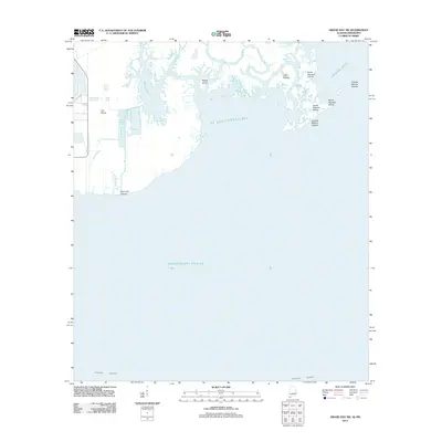
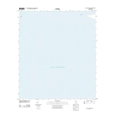
(123)- 2000 Map of Horn Island West, 2001 Print
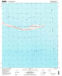
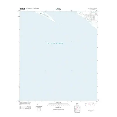
 2000 Horn Island West2001 Print · USGSThe Mississippi barrier islands are captured at the turn of the millennium, showing the western reach of Horn Island within the Gulf Islands National Seashore. Researchers can trace remote coastal markers like Chimney Well and the shallow sound at Middle Ground.
 - 2000 Map of Horn Island East, 2001 Print
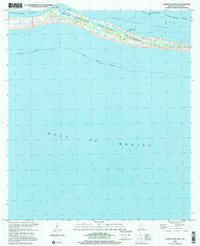
 2000 Horn Island East2001 Print · USGSThe Mississippi coast's barrier islands are captured at the end of the century, showing the intersection of protected wilderness and major shipping lanes. Trace the maritime pathways of Horn Island and Petit Bois Island along the Pascagoula Channel.
 - 2000 Map of Petit Bois Island, 2001 Print
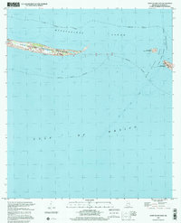
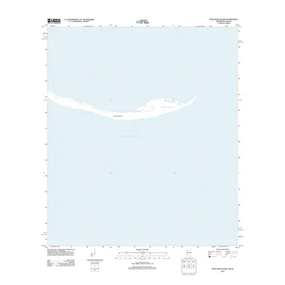
 2000 Petit Bois Island2001 Print · USGSPetit Bois Island remained a wild barrier along the Gulf Coast at the turn of the century, bifurcated by the Mississippi-Alabama state line. Researchers can trace the maritime geography of the Petit Bois National Wildlife Refuge and the location of the Horn Island Lighthouse.
 - 2000 Map of Latimer, 2002 Print
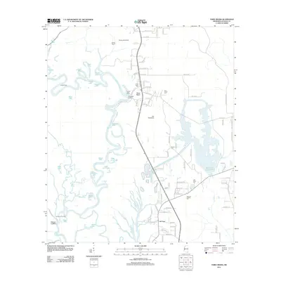
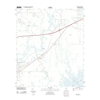
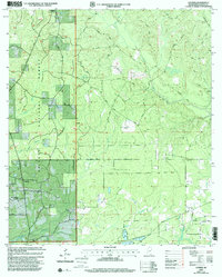 2000 Latimer2002 Print · USGSCoastal Jackson County at the turn of the century reveals a landscape shaped by the pine forests and rural homesteads of the Latimer area. Researchers can trace family ties and early congregations at sites like New Fayard Cem, Bethel Hill Ch, and Seymour Cem.
 - 2011 Map of Grand Bay SW, 2011 Print
 2011 Grand Bay SW2011 Print · USGSCovers Jackson County, including Dauphin Island, Mobile County, and other nearby areas
 - 2012 Map of Vestry, 2012 Print
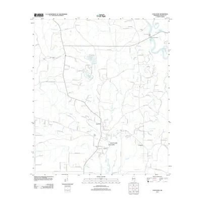
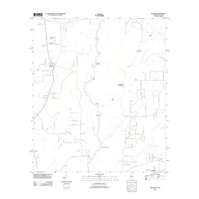
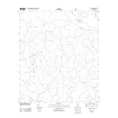 2012 Vestry2012 Print · USGSCovers Jackson County, including Vestry, George County, and other nearby areas
 - 2012 Map of Latimer, 2012 Print
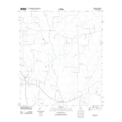
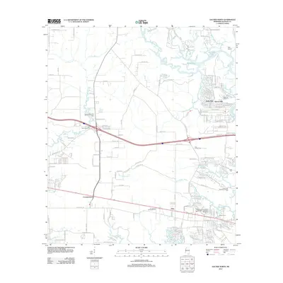
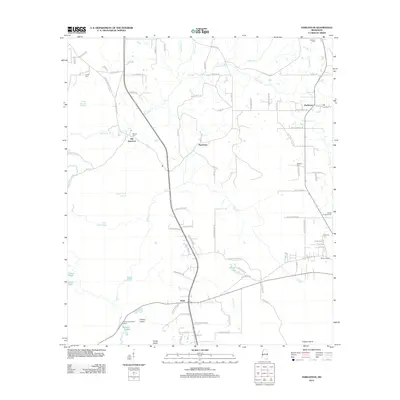
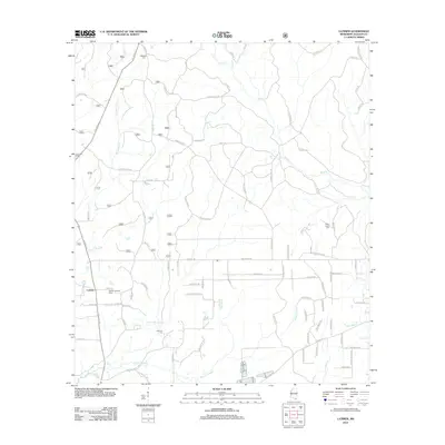 2012 Latimer2012 Print · USGSCovers Jackson County, including Larue, Latimer, and other nearby areas
 - 2012 Map of White Plains, 2012 Print
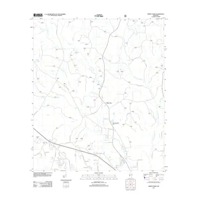 2012 White Plains2012 Print · USGSCovers Jackson County, including White Plains, Harrison County, and other nearby areas
 - 2012 Map of Beatrice, 2012 Print
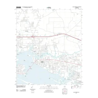
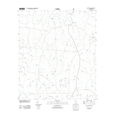 2012 Beatrice2012 Print · USGSCovers Jackson County, including Dantzler, Beatrice, and other nearby areas
 - 2012 Map of Vancleave, 2012 Print
 2012 Vancleave2012 Print · USGSCovers Jackson County, including Vancleave, Dees Landing, and other nearby areas
 - 2012 Map of Easen Hill, 2012 Print
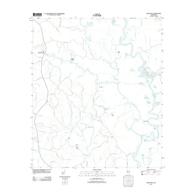 2012 Easen Hill2012 Print · USGSCovers Jackson County, including Holly Landing, George County, and other nearby areas
 - 2012 Map of Hurley, 2012 Print
 2012 Hurley2012 Print · USGSCovers Jackson County, including Hurley, Mobile County, and other nearby areas
 - 2012 Map of Three Rivers, 2012 Print
 2012 Three Rivers2012 Print · USGSCovers Jackson County, including Coll Town, Poticaw Landing, and other nearby areas
 - 2012 Map of Deer Island, 2012 Print
 2012 Deer Island2012 Print · USGSCovers Jackson County, including Biloxi, Harrison County, and other nearby areas
 - 2012 Map of Gautier North, 2012 Print
 2012 Gautier North2012 Print · USGSCovers Jackson County, including Ocean Springs, Gautier, and other nearby areas
 - 2012 Map of Ocean Springs, 2012 Print
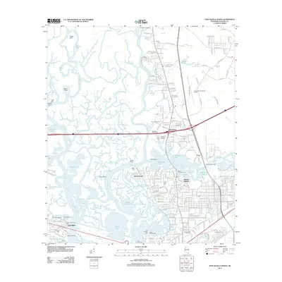
 2012 Ocean Springs2012 Print · USGSCovers Jackson County, including Biloxi, Ocean Springs, and other nearby areas
 - 2012 Map of Big Point, 2012 Print
 2012 Big Point2012 Print · USGSCovers Jackson County, including Cloverdale, Big Point, and other nearby areas
 - 2012 Map of Pascagoula North, 2012 Print
 2012 Pascagoula North2012 Print · USGSCovers Jackson County, including Pascagoula, Gautier, and other nearby areas
 - 2012 Map of Harleston, 2012 Print
 2012 Harleston2012 Print · USGSCovers Jackson County, including Popetown, Wade, and other nearby areas
 - 2012 Map of Pascagoula South, 2012 Print
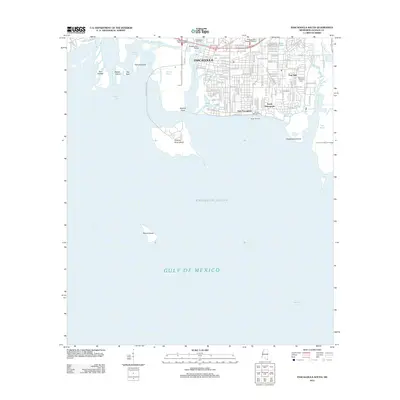 2012 Pascagoula South2012 Print · USGSCovers Jackson County, including Pascagoula, Gautier, and other nearby areas
 - 2012 Map of Kreole, 2012 Print
 2012 Kreole2012 Print · USGSCovers Jackson County, including Moss Point, Pecan, and other nearby areas
 - 2012 Map of Dog Keys Pass, 2012 Print
 2012 Dog Keys Pass2012 Print · USGSCovers Jackson County, including Harrison County, Saint Bernard Parish, and other nearby areas
 - 2012 Map of Biloxi, 2012 Print
 2012 Biloxi2012 Print · USGSCovers Jackson County, including Biloxi, D'Iberville, and other nearby areas
 - 2012 Map of Gautier South, 2012 Print
 2012 Gautier South2012 Print · USGSCovers Jackson County, including Gautier, United States, and other nearby areas
 - 2012 Map of Petit Bois Island, 2012 Print
 2012 Petit Bois Island2012 Print · USGSCovers Jackson County, including Dauphin Island, Mobile County, and other nearby areas
Showing maps 1-25 of 123
Top cities of Jackson County
- Pascagoula historical maps
- Ocean Springs historical maps
- Gautier historical maps
- Moss Point historical maps
Frequently asked questions
- What are the different types of historical maps available for Jackson County?
- What is the oldest map of Jackson County?
- Where can I purchase historical maps of Jackson County for my home or office?
- Where can I download high-res historical maps of Jackson County?
- Are there historical topographic maps available for Jackson County?
- Is there historical aerial imagery available for Jackson County?
- Where are historical maps of Jackson County sourced from?