2010s Maps of Lawrence County, Mississippi
Explore 42 historic maps of Lawrence County from the 2010s. These maps offer a rare glimpse into what life looked like during the 2010s — showing old roads, neighborhoods, homes, and landmarks that have changed or disappeared over time.
Whether you're researching your family's past, planning a metal detecting trip, or studying how Lawrence County's landscape evolved across the 2010s, these high-resolution maps are a powerful tool for exploring the history of this region.
- Focus on a specific era: All maps on this page are from the 2010s, giving you a focused view of this time period.
- See what’s changed: Compare century-old streets, trails, and buildings to today's modern landscape using overlays and satellite layers.
- Research with precision: Use these maps for genealogy, historical research, land use analysis, or educational projects.
- View, download, or print: Maps are fully viewable online in high resolution, and can be downloaded or printed for your own records.
Start exploring Lawrence County's history through authentic maps from the 2010s. This is your window into the past.
Lawrence County, MS maps
(42)- 2012 Map of New Hebron, 2012 Print
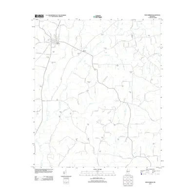 2012 New Hebron2012 Print · USGSNew Hebron and the surrounding Lawrence County countryside are shown here in the early twenty-first century as a landscape of rural family homesteads and winding creeks. Genealogists can trace decades of local history through numerous burial sites like Zion Hill Cem, Hebron Cem, and Old Mobley Cem.
 - 2012 Map of Shivers, 2012 Print
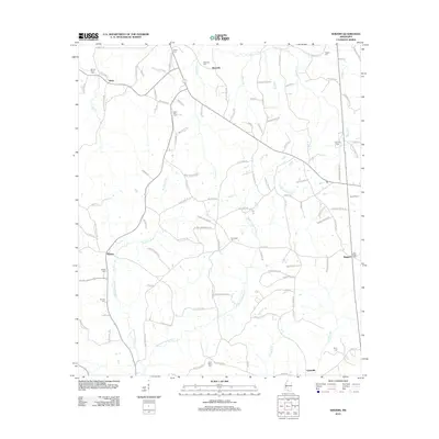 2012 Shivers2012 Print · USGSSimpson County rural life is mapped here in the early twenty-first century, spanning the landscapes of Westville and Shivers. Researchers can trace generations of local history through family sites like Rose Hill Cem, Grubbs Cem, and the old paths along W Prong Silver Cr.
 - 2012 Map of Oak Vale, 2012 Print
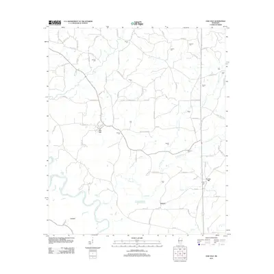 2012 Oak Vale2012 Print · USGSMarion County's river-bottoms and rural communities are captured here in the early twenty-first century. Genealogists can locate family landmarks and numerous burial sites like Bourne Cem, Parkman Cem, and the settlement at Oak Vale.
 - 2012 Map of Prentiss West, 2012 Print
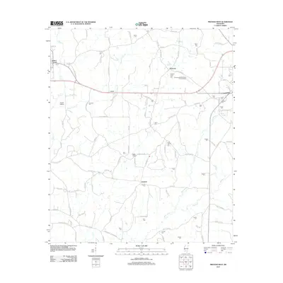 2012 Prentiss West2012 Print · USGSJefferson Davis County shows its deep-rooted family history during the early 2010s, documented through a landscape of rural crossroads and cemeteries. Genealogists can trace local lineages through sites like Armstrong Cem, South Pleasant Hill Cem, and the community of Whitesand.
 - 2012 Map of Topeka, 2012 Print
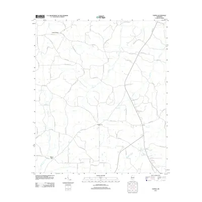 2012 Topeka2012 Print · USGSLawrence County, Mississippi, is shown here in the early 2010s as a landscape of rural crossroads and winding creek systems. Researchers can locate established community hubs like Topeka and Bristers Store or trace the routes of E Topisaw Cr and Halls Cr.
 - 2012 Map of Darbun, 2012 Print
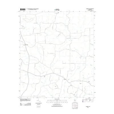 2012 Darbun2012 Print · USGSWalthall County in the early twenty-first century remains a rural landscape defined by creek valleys and long-standing family settlements. Genealogists and researchers can trace local roots through landmarks like Sartinville Cem, Rials Farms, and the winding Magees Cr.
 - 2012 Map of Nola, 2012 Print
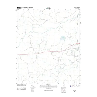 2012 Nola2012 Print · USGSLawrence County, Mississippi, retains its rural character in this 2012 study of the creek-fed hills south of Sontag. Researchers can trace family-named routes and landmarks from Nola to Rosella, including the waters of Lake Mary Crawford and Joseph Nevlans Spring.
 - 2012 Map of Jayess, 2012 Print
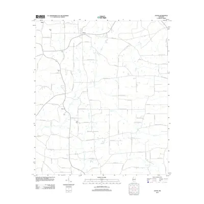 2012 Jayess2012 Print · USGSWalthall County at the start of the 2010s reveals a quiet landscape of rural crossroads and family-named homesteads. Genealogists can trace property locations and local history through Enon Cem, New Bethel Cem, and landmarks along Dummy Line Rd and Upper Jayess Rd.
 - 2012 Map of Monticello NE, 2012 Print
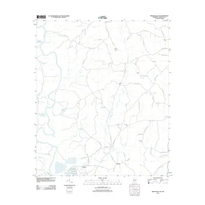 2012 Monticello NE2012 Print · USGSThe Pearl River valley in Lawrence County remained a quiet agricultural landscape in the early twenty-first century. Genealogists and local historians can trace family roots through numerous landmarks like North Pleasant Hill Cem, Ferguson, and Hooker.
 - 2012 Map of Schley, 2012 Print
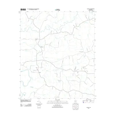 2012 Schley2012 Print · USGSThis rural Mississippi landscape south of Mendenhall is captured in the early 2010s as it centers on the river-fed terrain of Simpson County. Genealogists and local researchers can locate numerous family burial sites and landmarks like Armstrong-Buckley Cem, the Shivers Lookout Tower, and the settlement at Schley.
 - 2012 Map of Monticello, 2012 Print
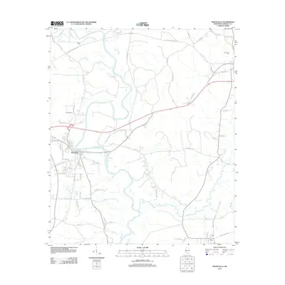 2012 Monticello2012 Print · USGSMonticello and its surrounding riverlands are captured here in the early twenty-first century as the local infrastructure follows the winding Pearl River. Genealogists and local historians can locate Wilson Cem, the community of Arm, and landmarks like Clay Airport.
 - 2012 Map of Oma, 2012 Print
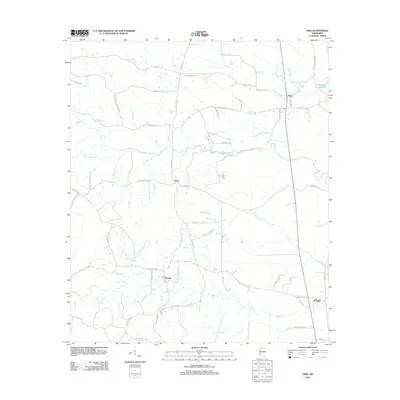 2012 Oma2012 Print · USGSLawrence County settlements and family farmsteads are documented in this recent survey of the Mississippi countryside. Genealogists and local historians can trace the geography around Oma, Sontag, and Fair Hill Cem along the banks of Bahala Cr.
 - 2012 Map of Tilton, 2012 Print
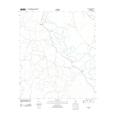 2012 Tilton2012 Print · USGSThe Pearl River valley in Lawrence County is documented here during the early twenty-first century. Genealogists and local historians can locate rural landmarks like Bozeman Cem, Sauls Cem, and the prominent Tilton Lookout Tower.
 - 2012 Map of Georgetown, 2012 Print
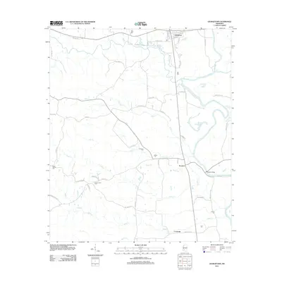 2012 Georgetown2012 Print · USGSGeorgetown and the surrounding Copiah County riverlands are documented here in the early twenty-first century. Researchers can trace local heritage through numerous burial sites like Poplar Springs Cem or locate landmarks such as the Rockport Bridge and Ashley Lookout Tower.
 - 2015 Map of Jayess, 2015 Print
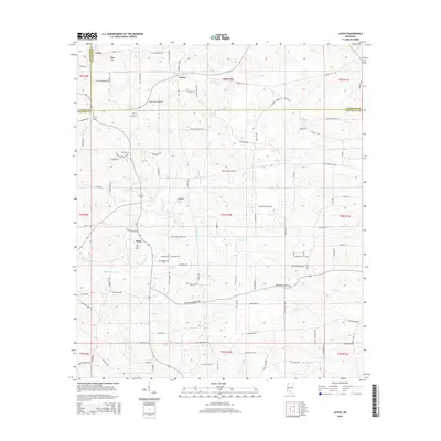 2015 Jayess2015 Print · USGSThe rural borderlands of Walthall, Lincoln, and Lawrence counties are shown here as they appeared in the early 21st century. Genealogists can trace local family lineages through named landmarks like Garner Cem, Hope Hill church, and the community of Enon.
 - 2015 Map of Monticello NE, 2015 Print
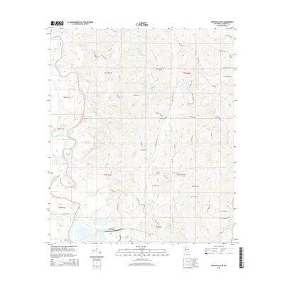 2015 Monticello NE2015 Print · USGSMississippi's Pearl River valley and the rural communities of Lawrence County are captured here in the mid-2010s. Researchers can trace family-named roads and landmarks like North Pleasant Hill Cem, Ferguson, and Sutton Lake.
 - 2015 Map of New Hebron, 2015 Print
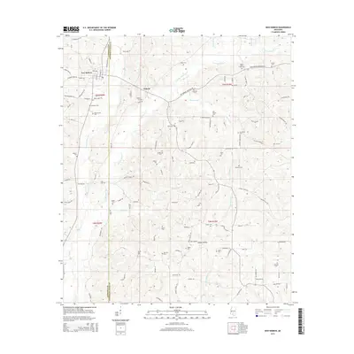 2015 New Hebron2015 Print · USGSNew Hebron and the surrounding countryside appear in detail during the mid-2010s, showing a landscape defined by the upper reaches of Silver Creek. Genealogists can locate numerous family-named burial sites like Stater Cem and Dampeer Cem alongside local landmarks like Galilee Ch.
 - 2015 Map of Nola, 2015 Print
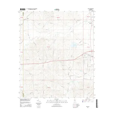 2015 Nola2015 Print · USGSLawrence County, Mississippi, is shown here in the mid-2010s, capturing the rural community of Monticello and the smaller settlements of Nola and Rosella. Researchers can trace local genealogy through numerous family-named landmarks and routes like Jim Hearn Ln or find historic water sources like Joseph Neylans Spring.
 - 2015 Map of Shivers, 2015 Print
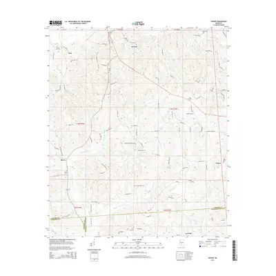 2015 Shivers2015 Print · USGSSimpson County and neighboring Lawrence and Jefferson Davis counties are captured here in the mid-2010s, showing a landscape shaped by rural tradition. Genealogists can trace family heritage through numerous burial grounds like Strong River Cem and the settlement of Shivers.
 - 2015 Map of Georgetown, 2015 Print
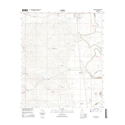 2015 Georgetown2015 Print · USGSThe confluence of the Pearl and Strong Rivers defines this Mississippi landscape in the mid-2010s. Genealogists can trace family footprints across several rural burial grounds, including Poplar Springs Cem, and explore the river-edge settlements of Georgetown and Rockport.
 - 2015 Map of Tilton, 2015 Print
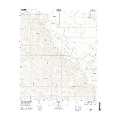 2015 Tilton2015 Print · USGSThe Pearl River valley in south-central Mississippi is captured here during the mid-2010s, showing a landscape defined by its waterways and rural homesteads. Genealogists can trace family connections through landmarks like Bozeman Cemetery and settlements like Robinwood and Tilton.
 - 2015 Map of Schley, 2015 Print
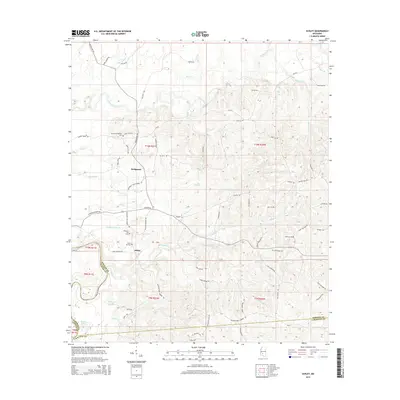 2015 Schley2015 Print · USGSSimpson County’s rural river valleys are captured here in the mid-2010s, showing the agricultural and forested landscape around Bridgeport and Schley. Genealogists can locate several family burial grounds, including the Armstrong-Buckley Cem and Taylor Hill Cem near the Strong River.
 - 2015 Map of Monticello, 2015 Print
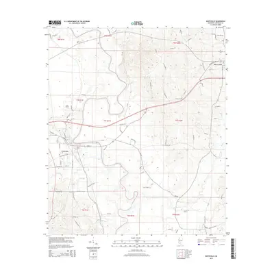 2015 Monticello2015 Print · USGSLawrence County, Mississippi, is captured here in the mid-2010s as the Pearl River winds past the town of Monticello. Researchers can trace local heritage through Wilson Cem, Armstrong Cemetery, and the rural community of Arm.
 - 2015 Map of Oma, 2015 Print
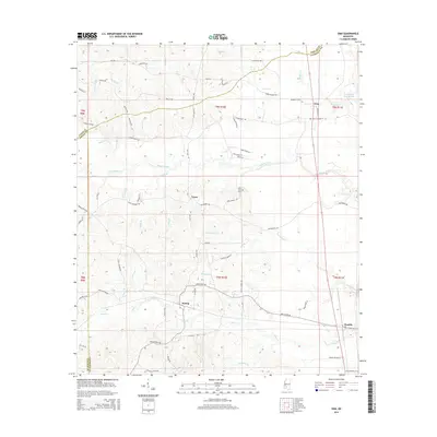 2015 Oma2015 Print · USGSThe rural borderlands of Copiah, Lawrence, and Lincoln Counties are captured here in the mid-2010s. Genealogists and local researchers can trace family lands near Sontag, Oma, and Tryus, or locate the Fair Hill Cem and old routes like Smith Ferry Rd.
 - 2015 Map of Darbun, 2015 Print
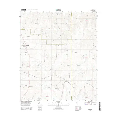 2015 Darbun2015 Print · USGSWalthall, Lawrence, and Marion counties converge in this rural Mississippi landscape as it appeared in the mid-2010s. Researchers can trace ancestral property and community ties through family-named landmarks like Jack Duncan Rd and local burial grounds including Sartinville Cem.
Showing maps 1-25 of 42
Top cities of Lawrence County
Frequently asked questions
- What are the different types of historical maps available for Lawrence County?
- What is the oldest map of Lawrence County?
- Where can I purchase historical maps of Lawrence County for my home or office?
- Where can I download high-res historical maps of Lawrence County?
- Are there historical topographic maps available for Lawrence County?
- Is there historical aerial imagery available for Lawrence County?
- Where are historical maps of Lawrence County sourced from?