2020s Maps of Lawrence County, Mississippi
Explore 28 historic maps of Lawrence County from the 2020s. These maps offer a rare glimpse into what life looked like during the 2020s — showing old roads, neighborhoods, homes, and landmarks that have changed or disappeared over time.
Whether you're researching your family's past, planning a metal detecting trip, or studying how Lawrence County's landscape evolved across the 2020s, these high-resolution maps are a powerful tool for exploring the history of this region.
- Focus on a specific era: All maps on this page are from the 2020s, giving you a focused view of this time period.
- See what’s changed: Compare century-old streets, trails, and buildings to today's modern landscape using overlays and satellite layers.
- Research with precision: Use these maps for genealogy, historical research, land use analysis, or educational projects.
- View, download, or print: Maps are fully viewable online in high resolution, and can be downloaded or printed for your own records.
Start exploring Lawrence County's history through authentic maps from the 2020s. This is your window into the past.
Lawrence County, MS maps
(28)- 2020 Map of Prentiss West, 2020 Print
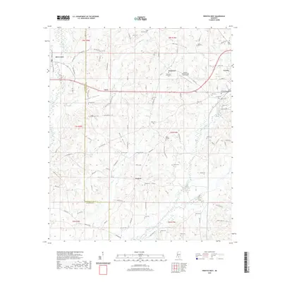 2020 Prentiss West2020 Print · USGSJefferson Davis County and the western edge of Prentiss are captured here in the early twenty-first century. Researchers can trace dozens of family and community landmarks, from Mount Olive Cem and Patterson-Garner-Loftin Cem to rural centers like Whitesand and Lucas.
 - 2020 Map of Topeka, 2020 Print
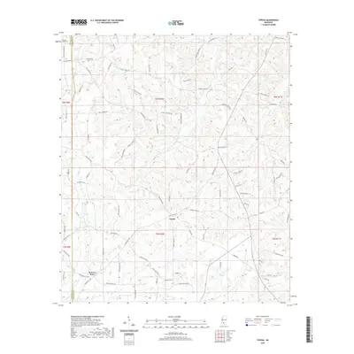 2020 Topeka2020 Print · USGSLawrence County's rural heartland is documented here during the early twenty-first century, showing a landscape of timber and creek-bottom settlements. Researchers can locate the Pleasant Grove Cem and trace the local footprints of Topeka and Bristers Store.
 - 2020 Map of Jayess, 2020 Print
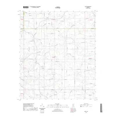 2020 Jayess2020 Print · USGSThe rural borderlands of Lincoln and Walthall counties are captured here in the early twenty-first century. Researchers can trace family history through numerous named landmarks like Garner Cem and roads such as Dewitt Alexander Rd.
 - 2020 Map of Monticello, 2020 Print
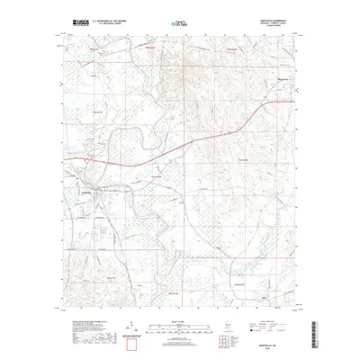 2020 Monticello2020 Print · USGSMonticello and the surrounding Lawrence County countryside are captured here in the early twenty-first century as the Pearl River shapes the local landscape. Researchers can locate the Lawrence County Courthouse, trace family roots at Wilson Cem, or explore the small community of Arm.
 - 2020 Map of Shivers, 2020 Print
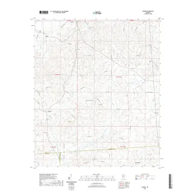 2020 Shivers2020 Print · USGSSimpson County and its southern neighbors appear here in recent years, showing a landscape defined by small settlements and winding creeks. Genealogists can locate family landmarks like Rose Hill Cem, Pinola, and Owens Cem across this rural terrain.
 - 2020 Map of Oak Vale, 2020 Print
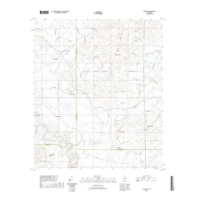 2020 Oak Vale2020 Print · USGSThe Pearl River valley in South Mississippi remains a landscape of family-named roads and small hill communities in this recent survey. Genealogists can trace local heritage through numerous sites like Society Hill Cem, Hepsibah Cem, and Oak Vale.
 - 2020 Map of Oma, 2020 Print
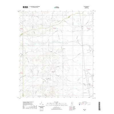 2020 Oma2020 Print · USGSLawrence and Copiah counties are documented here in the early twenty-first century as rural life centers on long-established timber and farming communities. Genealogists can trace family ties through names like Fair Hill Cem and settlements including Oma, Tryus, and Sontag.
 - 2020 Map of New Hebron, 2020 Print
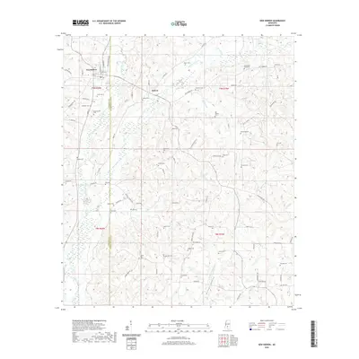 2020 New Hebron2020 Print · USGSNew Hebron and the rural borderlands of Lawrence County are mapped here in the early twenty-first century. Genealogists and historians can trace the deep-rooted local heritage through over twenty-five burial sites, including North Silver Creek Cem, Galilee Cem, and Hebron Cem.
 - 2020 Map of Nola, 2020 Print
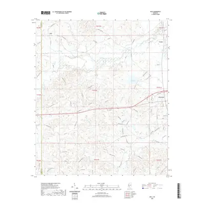 2020 Nola2020 Print · USGSThe rural landscape near Monticello and Nola is captured here in the early twenty-first century as family-named roads weave through the Fair River valley. Trace local roots and land use near Lake Mary Crawford or the waters of Josephs Neylands Spring.
 - 2020 Map of Tilton, 2020 Print
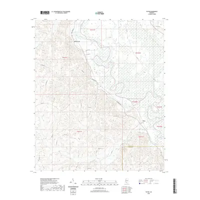 2020 Tilton2020 Print · USGSThe rural stretches of Lawrence County come to life in this recent survey of the Pearl River bottomlands. Genealogists and local historians can trace family-named roads and find the exact locations of Bozeman Cem, Sauls Cem, and the settlement at Tilton.
 - 2020 Map of Schley, 2020 Print
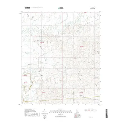 2020 Schley2020 Print · USGSSimpson County's rural landscape is documented here in the early twenty-first century as the Strong River winds toward its confluence. Researchers can locate family landmarks like the Armstrong-Buckley Cem and trace the paths of Bridgeport and Schley.
 - 2020 Map of Monticello NE, 2020 Print
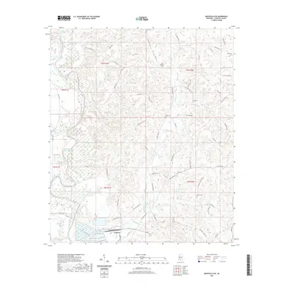 2020 Monticello NE2020 Print · USGSLawrence County, Mississippi, is shown here in the early twenty-first century as a landscape of river valleys and rural family landmarks. Genealogists can trace family names at North Pleasant Hill Cem, Cliburn Cem, and the settlement at Ferguson.
 - 2020 Map of Georgetown, 2020 Print
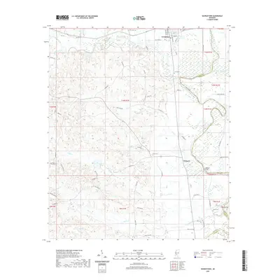 2020 Georgetown2020 Print · USGSThe Pearl River valley in Copiah County is documented here at the start of the 2020s, showing the riverside settlements and rural cemeteries. Researchers can locate Rockport Bridge and trace local family history at Lily Mae Cem or Norman Cem.
 - 2020 Map of Darbun, 2020 Print
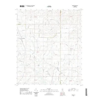 2020 Darbun2020 Print · USGSWalthall and Marion counties meet in this 2020 survey of the rural Piney Woods region. Genealogists can trace family footprints across Sartinville and Darbun, or locate quiet burial sites like Magees Creek Cem and Sauls Valley Cem.
 - 2024 Map of Shivers, 2024 Print
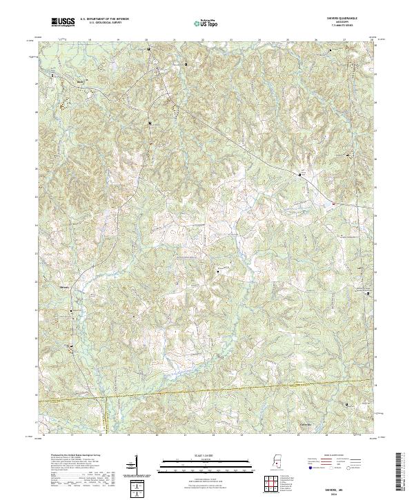 2024 Shivers2024 Print · USGSIn the rural reaches of South Mississippi, this survey captures a landscape of family homesteads and small communities connected by the Strong River and its branches. Genealogists can trace family footprints through numerous burial sites like Shivers Cem, Owens Cem, and the Missionary Church Cem.
 - 2024 Map of Oma, 2024 Print
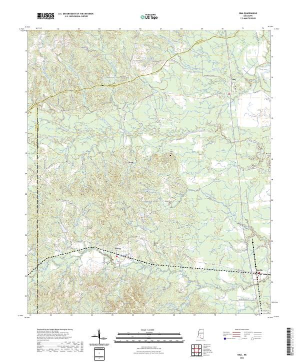 2024 Oma2024 Print · USGSLawrence and Copiah counties meet in this rural 2024 survey of southern Mississippi, showing the area during a period of modern agricultural stability. Genealogists and researchers can trace family-named roads and sites like Fair Hill Cem and the small settlements of Oma and Wanilla.
 - 2024 Map of Monticello NE, 2024 Print
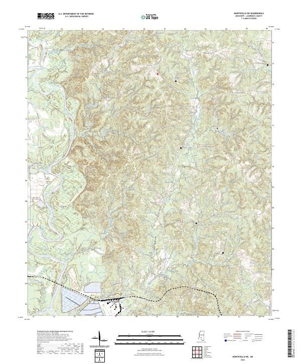 2024 Monticello NE2024 Print · USGSLawrence County's river-bottom landscape is captured here in the early twenty-first century, centered on the Pearl River valley. Genealogists can trace family footprints at the Buckley Thompson Historical Cem or near the old settlement of Ferguson.
 - 2024 Map of Topeka, 2024 Print
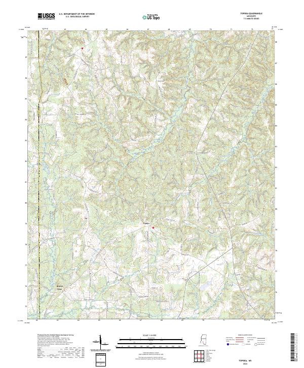 2024 Topeka2024 Print · USGSThe rural borderlands of Lawrence and Lincoln counties are captured here in the modern era. Genealogists and local historians can trace family landholdings along Thames Nelson Rd or near the historic centers of Topeka and Bristers Store.
 - 2024 Map of Jayess, 2024 Print
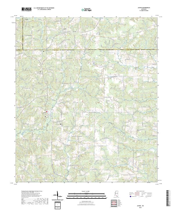 2024 Jayess2024 Print · USGSWalthall County and its neighbors are shown in the early 2020s, revealing a landscape of family-named roads and rural communities. Researchers can locate ancestral sites like Enon Cem and Garner Cem or trace the drainage of Carters Creek and Leatherwood Creek.
 - 2024 Map of Oak Vale, 2024 Print
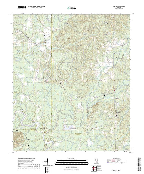 2024 Oak Vale2024 Print · USGSThe rural landscapes of Jefferson Davis and Lawrence counties are mapped here in the modern era. Genealogists can trace family heritage through local landmarks like Society Hill and numerous burial sites including Hepzibah Cem and Bass Cem.
 - 2024 Map of Prentiss West, 2024 Print
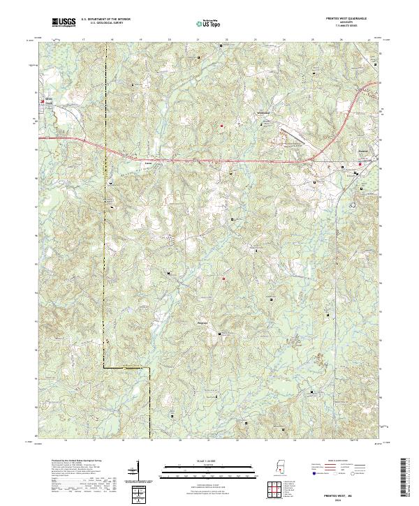 2024 Prentiss West2024 Print · USGSJefferson Davis County in the modern era maintains a landscape rich with family-named landmarks and rural congregations. Genealogists can trace specific sites like the Patterson - Garner - Loftin Cem, Shady Grove Baptist Church Cem, and the old rail corridor of the Illinois Central Railroad.
 - 2024 Map of New Hebron, 2024 Print
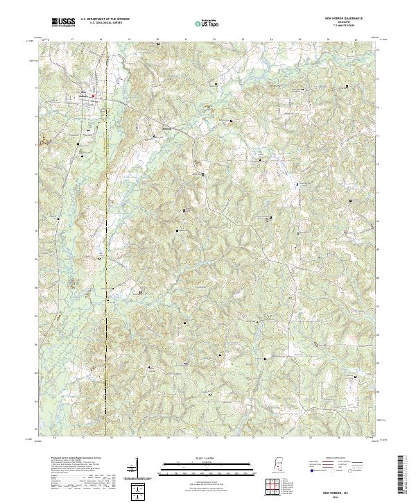 2024 New Hebron2024 Print · USGSCrossing the Lawrence and Jefferson Davis county line in the early twenty-first century, this map shows a landscape shaped by the prongs of Silver Creek. Genealogists can locate numerous rural family burial sites including Saint Mary Cem, Zion Hill Cem, and Hartzog Cem.
 - 2024 Map of Georgetown, 2024 Print
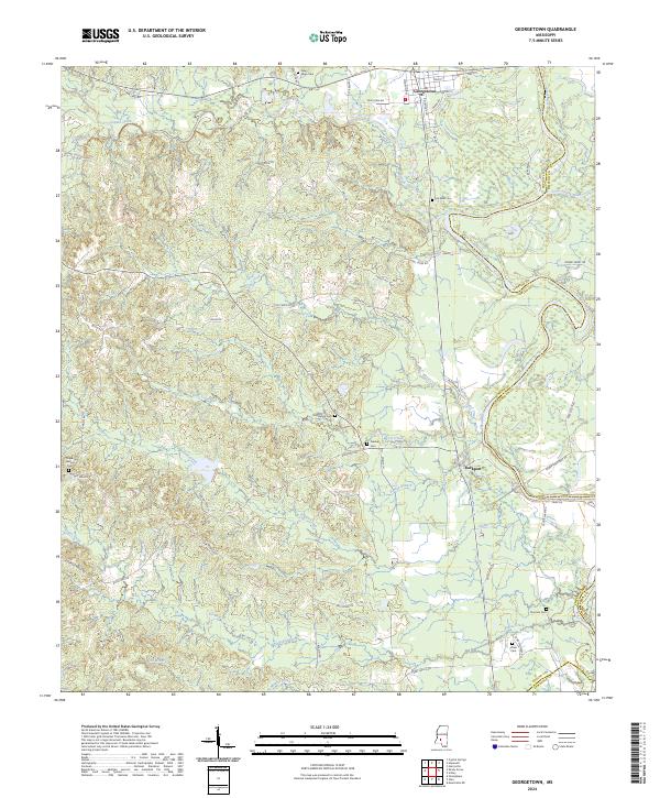 2024 Georgetown2024 Print · USGSThe confluence of the Pearl and Strong rivers defines this area in the early 2020s. Researchers can locate several burial sites including Galilee Cem and Providence Cem or trace the rural routes around Georgetown and Rockport.
 - 2024 Map of Schley, 2024 Print
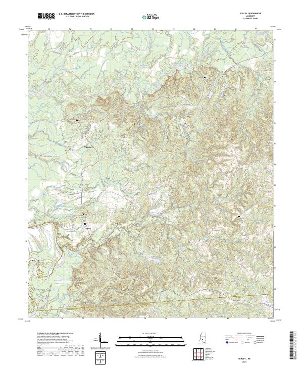 2024 Schley2024 Print · USGSSimpson County’s river valleys appear in contemporary detail, showing the rural communities near the Pearl River and Strong River. Genealogists can locate family landmarks such as Armstrong-Buckley Cem, Schley, and Pleasant Hill Cem.
 - 2024 Map of Tilton, 2024 Print
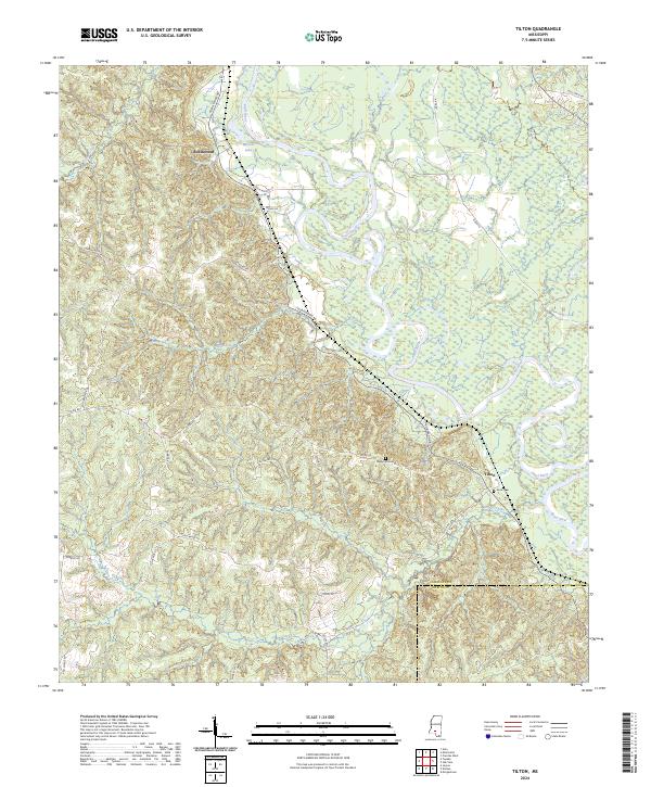 2024 Tilton2024 Print · USGSThe meanders of the Pearl River and the rural communities of southern Mississippi are captured here in the early twenty-first century. Genealogists and local historians can locate family landmarks such as Bozeman Cem, Sauls Cem, and the settlement at Tilton.
Showing maps 1-25 of 28
Top cities of Lawrence County
Frequently asked questions
- What are the different types of historical maps available for Lawrence County?
- What is the oldest map of Lawrence County?
- Where can I purchase historical maps of Lawrence County for my home or office?
- Where can I download high-res historical maps of Lawrence County?
- Are there historical topographic maps available for Lawrence County?
- Is there historical aerial imagery available for Lawrence County?
- Where are historical maps of Lawrence County sourced from?