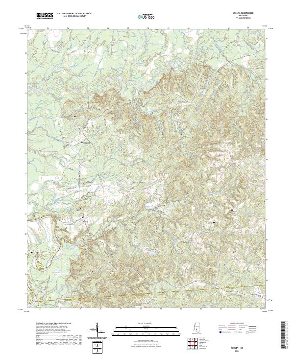
2024 Map of Schley
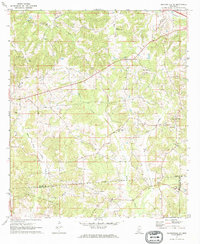
USGS Topo · Published 2024This historical map portrays the area of Schley in 2024, primarily covering Simpson County as well as portions of Lawrence County and Copiah County. Featuring a scale of 1:24000, this map provides a highly detailed snapshot of the terrain, roads, buildings, counties, and historical landmarks in the Schley region at the time. Published in 2024, it is the sole known edition of this map.
Map Details
Editions of this 2024 Schley Map
This is the sole edition of this map. No revisions or reprints were ever made.
Historical Maps of Lawrence County Through Time
16 maps found
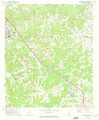
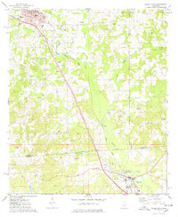
1970 Harrisville
Simpson County, MS
1970 Mendenhall East
Simpson County, MS
1970 Mendenhall West
Simpson County, MS
1971 Mendenhall SE
Simpson County, MS
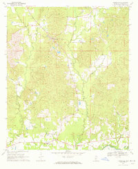
1971 Schley
Simpson County, MS
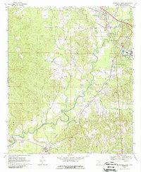
1971 Shivers
Simpson County, MS
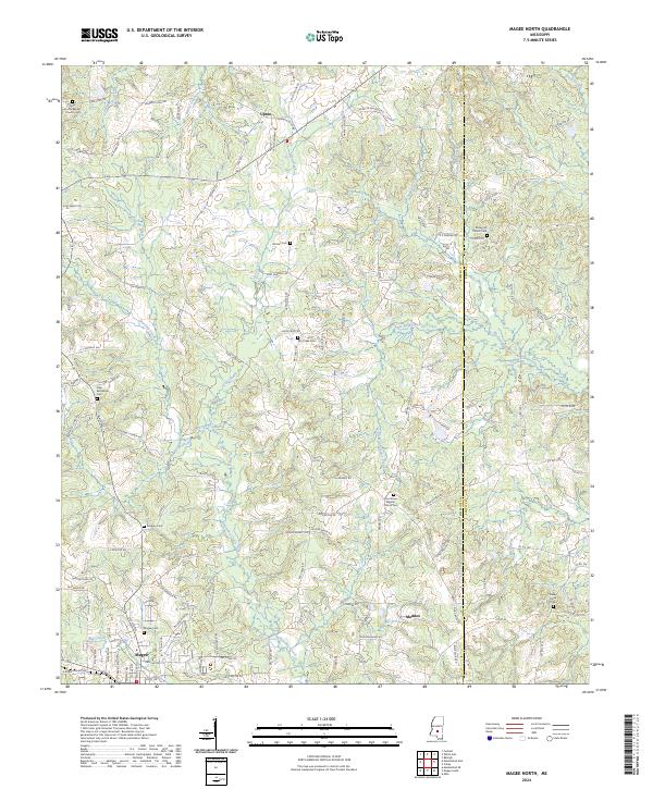
1975 Magee North
Simpson County, MS
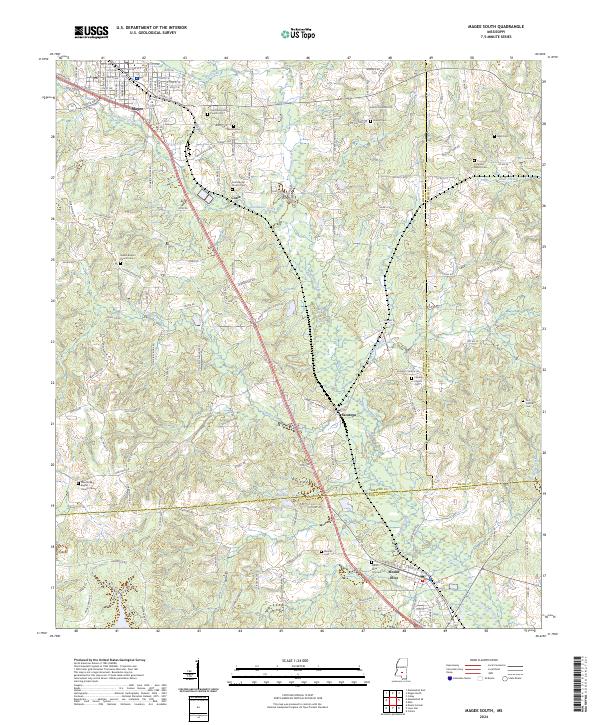
1975 Magee South
Simpson County, MS
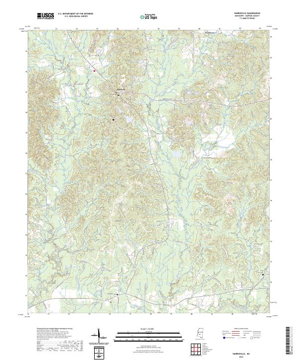
2024 Harrisville
Simpson County, MS
2024 Magee North
Simpson County, MS
2024 Magee South
Simpson County, MS
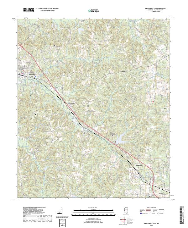
2024 Mendenhall East
Simpson County, MS
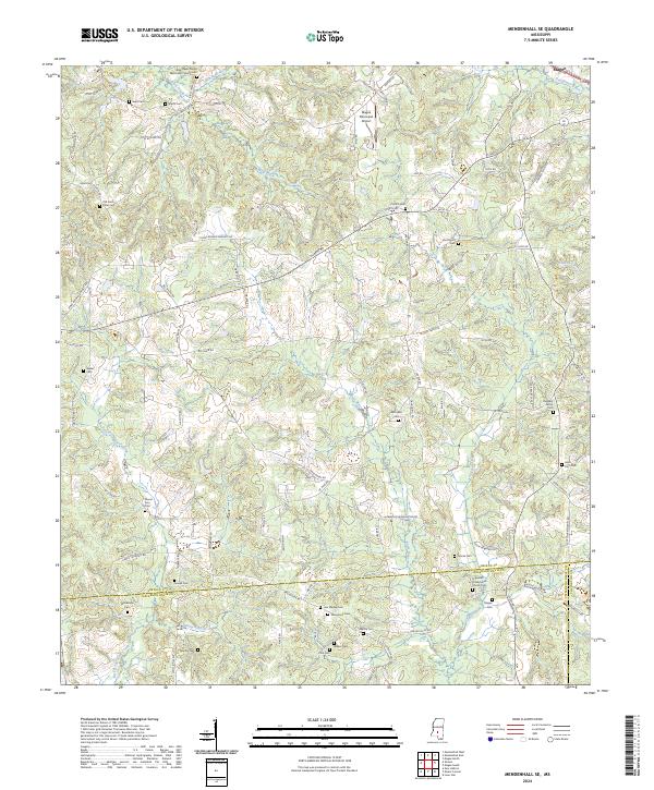
2024 Mendenhall SE
Simpson County, MS
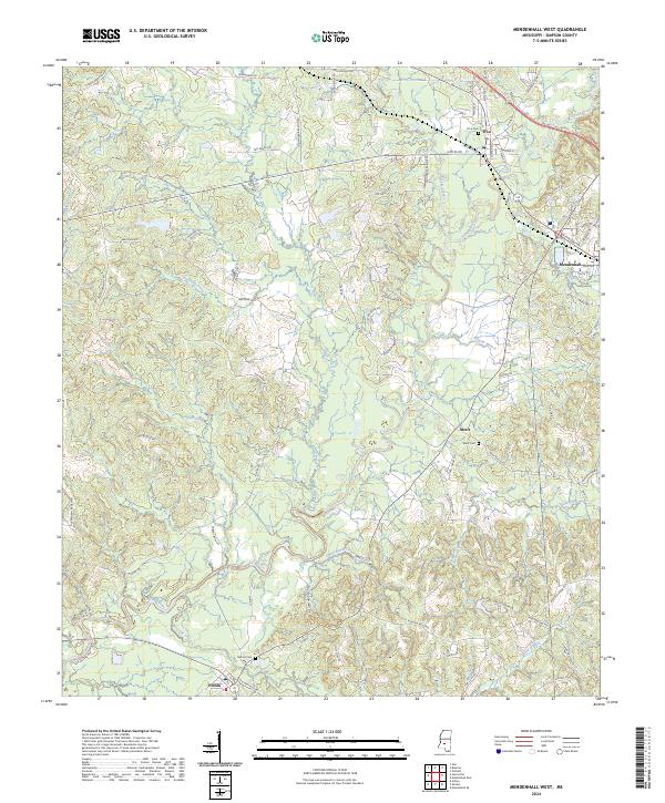
2024 Mendenhall West
Simpson County, MS
2024 Schley
Simpson County, MS
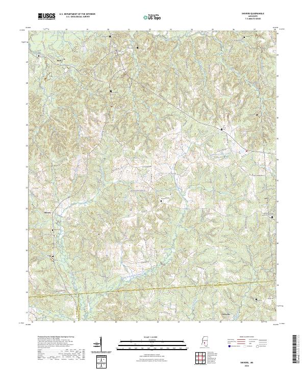
2024 Shivers
Simpson County, MS