2000s (21st Century) Maps of Marion County, Mississippi
Explore 85 historic maps of Marion County from the 2000s (21st Century). These maps offer a rare glimpse into what life looked like during the 2000s — showing old roads, neighborhoods, homes, and landmarks that have changed or disappeared over time.
Whether you're researching your family's past, planning a metal detecting trip, or studying how Marion County's landscape evolved across the 2000s, these high-resolution maps are a powerful tool for exploring the history of this region.
- Focus on a specific era: All maps on this page are from the 2000s, giving you a focused view of this time period.
- See what’s changed: Compare century-old streets, trails, and buildings to today's modern landscape using overlays and satellite layers.
- Research with precision: Use these maps for genealogy, historical research, land use analysis, or educational projects.
- View, download, or print: Maps are fully viewable online in high resolution, and can be downloaded or printed for your own records.
Start exploring Marion County's history through authentic maps from the 2000s. This is your window into the past.
Marion County, MS maps
(85)- 2012 Map of Angie, 2012 Print
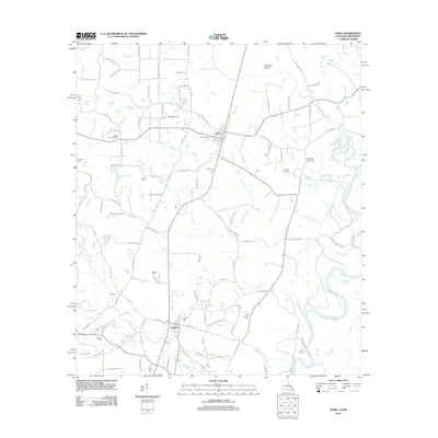 2012 Angie2012 Print · USGSWashington Parish near the Pearl River shows a landscape of timberlands and small communities in the early 2010s. Genealogists can trace numerous family burial sites including Rester Cem, Pierce Cem, and Old Fornea Cem, while landmarks like the Angle Lookout Tower mark the terrain.
 - 2012 Map of Columbia North, 2012 Print
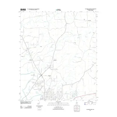 2012 Columbia North2012 Print · USGSMarion County, Mississippi, in the early 2010s shows a landscape defined by the winding Pearl River and active oil exploration. Researchers can locate numerous family and community burial grounds like Stringer Cem and trace the extent of the Columbia Oil Field.
 - 2012 Map of Sandy Hook NW, 2012 Print
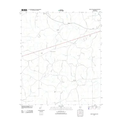 2012 Sandy Hook NW2012 Print · USGSThe rural stretches of Marion County are documented here in the early twenty-first century, showing a landscape defined by timber and agriculture. Genealogists can locate Little Rock Cem, Foxworth Cem, and the industry at Knoxo Oil Field.
 - 2012 Map of Pinebur, 2012 Print
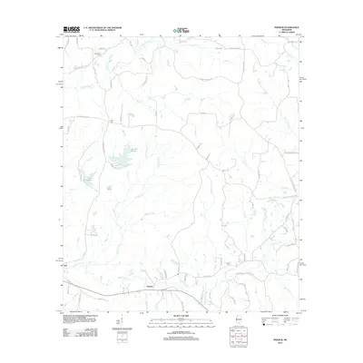 2012 Pinebur2012 Print · USGSMarion County, Mississippi, is shown here in the early 2010s as a landscape of rural settlements and significant reservoirs. Genealogists and local researchers can trace family landmarks like Breakfield Cem and Pinebur Cem or locate homes near Lake Bill Waller.
 - 2012 Map of Oak Vale, 2012 Print
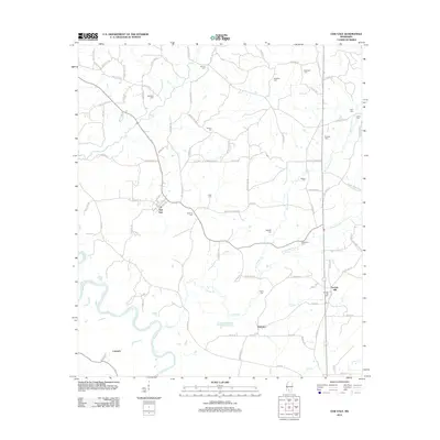 2012 Oak Vale2012 Print · USGSMarion County's river-bottoms and rural communities are captured here in the early twenty-first century. Genealogists can locate family landmarks and numerous burial sites like Bourne Cem, Parkman Cem, and the settlement at Oak Vale.
 - 2012 Map of Improve, 2012 Print
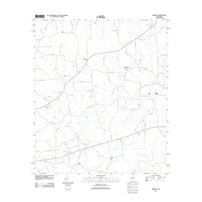 2012 Improve2012 Print · USGSLamar County communities like Improve and Enon appear here as part of a landscape shaped by oil exploration and small family-run cemeteries. Genealogists and local researchers can trace numerous sites including Rose Hill Cem, Stringer Cem, and the Improve Lookout Tower.
 - 2012 Map of Bassfield, 2012 Print
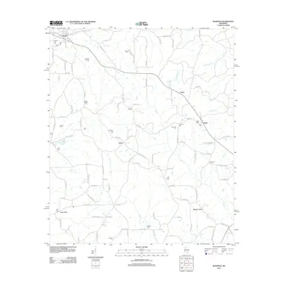 2012 Bassfield2012 Print · USGSJefferson Davis County comes into focus in this early twenty-first-century survey centered on the town of Bassfield. Genealogists can trace family heritage through nearly twenty distinct burial sites, including the Blackburn-Carter Cem, Old Broom Cem, and Wheeler Cem.
 - 2012 Map of Dexter, 2012 Print
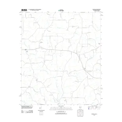 2012 Dexter2012 Print · USGSThe rural borderlands of Walthall County are captured here in the early twenty-first century, showing a landscape defined by oil fields and family cemeteries. Researchers can locate several burial sites like Centerville Cem and Carson Springs Cem near the Dexter Oil and Gas Field.
 - 2012 Map of Darbun, 2012 Print
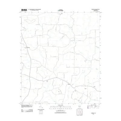 2012 Darbun2012 Print · USGSWalthall County in the early twenty-first century remains a rural landscape defined by creek valleys and long-standing family settlements. Genealogists and researchers can trace local roots through landmarks like Sartinville Cem, Rials Farms, and the winding Magees Cr.
 - 2012 Map of Fords Creek, 2012 Print
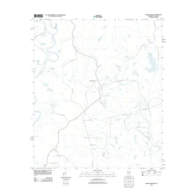 2012 Fords Creek2012 Print · USGSPearl River County in the early twenty-first century remains a landscape shaped by its namesake river and deep rural roots. Researchers can trace local landmarks and family-named roads such as Richie Cem, Fords Creek, and Hills of Sinai Rd.
 - 2012 Map of Sandy Hook, 2012 Print
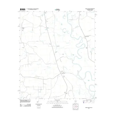 2012 Sandy Hook2012 Print · USGSSandy Hook and the surrounding Marion County bottomlands are documented here just after the turn of the millennium. Genealogists can trace family footprints through several local burial sites like Ford Chapel Cem and Pearl River Cem near Saint Paul.
 - 2012 Map of Morgantown, 2012 Print
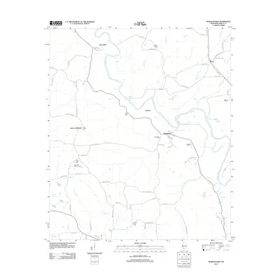 2012 Morgantown2012 Print · USGSThe Pearl River valley in Marion County comes to life on this early 21st-century map. Researchers can trace rural lineages through the Holly Springs and Richland Creek cemeteries or locate the Morgantown and Newson oil fields.
 - 2012 Map of Baxterville SW, 2012 Print
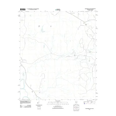 2012 Baxterville SW2012 Print · USGSThe borderlands of Mississippi and Louisiana are captured here during a period of active energy production and rural expansion. Researchers can trace family history through numerous landmarks including Rose Hill Cem, the settlement of Rouse, and the Baxterville Oil and Gas Field.
 - 2012 Map of Bunker Hill, 2012 Print
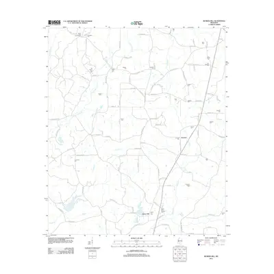 2012 Bunker Hill2012 Print · USGSSouthern Mississippi's rural character is on full display in this early twenty-first century survey of the area surrounding Ebenezer. Researchers can locate dozens of historic family burial grounds, including Old Bassfield Cemetery and Thompson Chapel Cemetery.
 - 2012 Map of Columbia South, 2012 Print
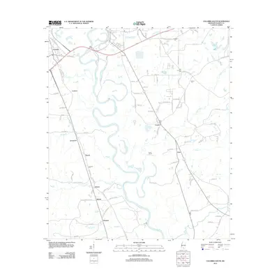 2012 Columbia South2012 Print · USGSSouthern Mississippi's riverine landscape is captured here in the early twenty-first century as it follows the winding Pearl River. Genealogists and historians can trace local family lineages through sites like Sunflower Cem and the communities of Jamestown and Foxworth.
 - 2012 Map of Kokomo, 2012 Print
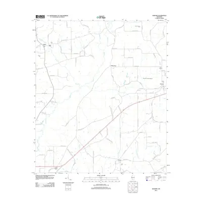 2012 Kokomo2012 Print · USGSWalthall County, Mississippi, is shown here in the early twenty-first century, preserving a landscape of creek-side settlements and family homesteads. Genealogists can trace family-named routes and local landmarks like Knoxo Cem, New Damascus Cem, and the Summers Poultry Farm.
 - 2012 Map of Tilton, 2012 Print
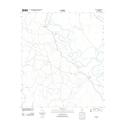 2012 Tilton2012 Print · USGSThe Pearl River valley in Lawrence County is documented here during the early twenty-first century. Genealogists and local historians can locate rural landmarks like Bozeman Cem, Sauls Cem, and the prominent Tilton Lookout Tower.
 - 2015 Map of Angie, 2015 Print
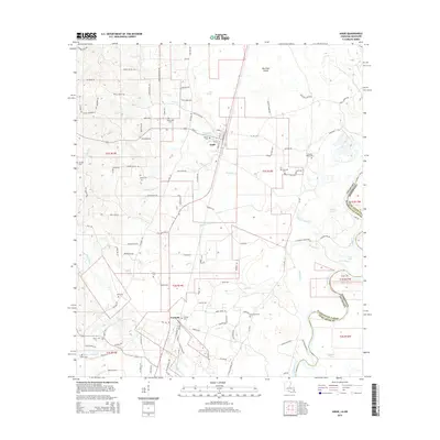 2015 Angie2015 Print · USGSThe rural borderlands between Louisiana and Mississippi come into focus in this mid-2010s survey of Washington Parish. Local historians can trace family roots through numerous burial sites like Bonnie Cem and Old Fornea Cem while following the winding path of the Pearl River.
 - 2015 Map of Morgantown, 2015 Print
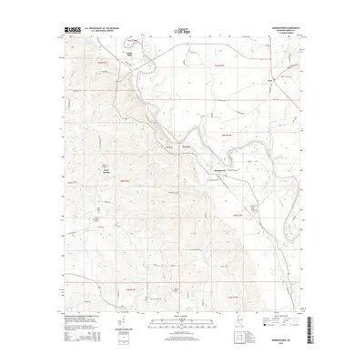 2015 Morgantown2015 Print · USGSMarion County during the mid-2010s is captured here as a landscape of river bends and rural settlements. Genealogists can trace family connections through numerous sites like Holly Springs Cem, Richland Creek Cem, and the community at White Bluff.
 - 2015 Map of Bassfield, 2015 Print
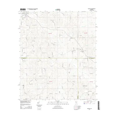 2015 Bassfield2015 Print · USGSThe tri-county borderlands of Jefferson Davis, Marion, and Lamar counties are captured here in 2015. Genealogists can trace family heritage through a dense network of rural burial sites, including Magee-Sullivan Cem, New Union Cem, and Hickory Grove Cem.
 - 2015 Map of Pinebur, 2015 Print
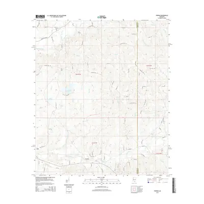 2015 Pinebur2015 Print · USGSMarion and Lamar Counties in the mid-2010s reflect a rural landscape of timberlands and watershed management. Researchers can trace local lineage through family-named landmarks and sites like Pinebur Cemetery, Lake Bill Waller, and the settlement of Hub.
 - 2015 Map of Dexter, 2015 Print
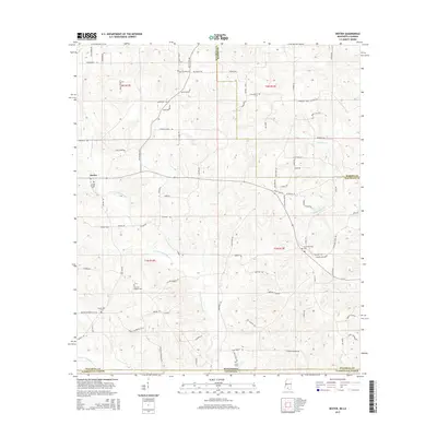 2015 Dexter2015 Print · USGSCrossing the Mississippi and Louisiana border in the mid-2010s, this area reveals a landscape of family-named roads and quiet cemeteries. Researchers can trace local lineage through sites like Crystal Springs Cem, Hinds Cem, and the settlement of Dexter.
 - 2015 Map of Columbia North, 2015 Print
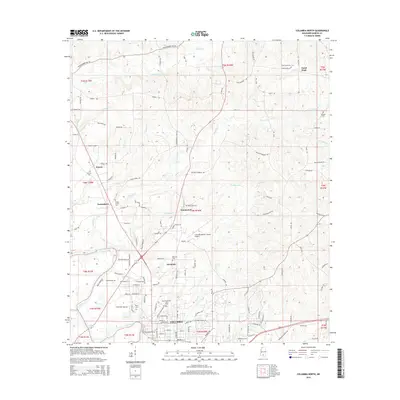 2015 Columbia North2015 Print · USGSMarion County in the mid-2010s shows a landscape of river-bend settlements and deep-rooted rural communities. Researchers can trace family sites from the streets of Columbia to the country plots at Harmony, Expose, and Emmanuel Cem.
 - 2015 Map of Kokomo, 2015 Print
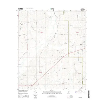 2015 Kokomo2015 Print · USGSWalthall and Marion counties are captured here in the mid-2010s, showing a rural landscape of family homesteads and winding creeks. Researchers can trace ancestral roots through numerous local landmarks like Salem Church, China Grove Cem, and New Damascus Cem.
 - 2015 Map of Columbia South, 2015 Print
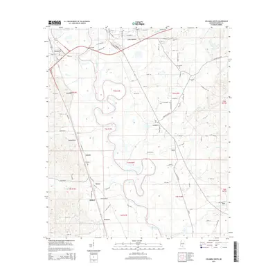 2015 Columbia South2015 Print · USGSMarion County's riverfront comes alive in this 2015 study, showing the oxbows of the Pearl River at Columbia. Genealogists can trace local roots through numerous landmarks like New Zion Cem, Antioch Cem, and the settlement of Pickwick.
Showing maps 1-25 of 85
Top cities of Marion County
Frequently asked questions
- What are the different types of historical maps available for Marion County?
- What is the oldest map of Marion County?
- Where can I purchase historical maps of Marion County for my home or office?
- Where can I download high-res historical maps of Marion County?
- Are there historical topographic maps available for Marion County?
- Is there historical aerial imagery available for Marion County?
- Where are historical maps of Marion County sourced from?