2000s (21st Century) Maps of Pearl River County, Mississippi
Explore 123 historic maps of Pearl River County from the 2000s (21st Century). These maps offer a rare glimpse into what life looked like during the 2000s — showing old roads, neighborhoods, homes, and landmarks that have changed or disappeared over time.
Whether you're researching your family's past, planning a metal detecting trip, or studying how Pearl River County's landscape evolved across the 2000s, these high-resolution maps are a powerful tool for exploring the history of this region.
- Focus on a specific era: All maps on this page are from the 2000s, giving you a focused view of this time period.
- See what’s changed: Compare century-old streets, trails, and buildings to today's modern landscape using overlays and satellite layers.
- Research with precision: Use these maps for genealogy, historical research, land use analysis, or educational projects.
- View, download, or print: Maps are fully viewable online in high resolution, and can be downloaded or printed for your own records.
Start exploring Pearl River County's history through authentic maps from the 2000s. This is your window into the past.
Pearl River County, MS maps
(123)- 2000 Map of Carnes, 2002 Print
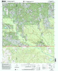 2000 Carnes2002 Print · USGSForrest and Stone counties appear at the turn of the millennium as a blend of timberland and active energy extraction. Genealogists can locate several remote burial grounds and churches, including Old Sandhill Ch, Eureka Cem, and Fairley Cem.
 - 2000 Map of Hillsdale, 2002 Print
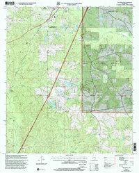 2000 Hillsdale2002 Print · USGSPearl River and Lamar counties at the turn of the millennium show a landscape of deep pine woods and family holdings. Researchers can trace ancestral roots through several rural burial sites, including the Rouse Field Cem, Lumpkin Cem, and Hickory Grove Ch.
 - 2000 Map of Silver Run, 2002 Print
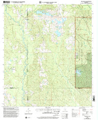 2000 Silver Run2002 Print · USGSSouthern Mississippi's timber and river country is captured here at the end of the twentieth century, spanning the borders of Stone, Harrison, and Pearl River counties. Researchers can locate numerous family burial sites like Hester Cem and rural centers such as Old Barth Community Ch.
 - 2012 Map of Hickory, 2012 Print
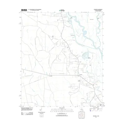 2012 Hickory2012 Print · USGSSt. Tammany Parish at the turn of the decade is shown here as a landscape defined by the W Pearl River and its intricate bayous. Researchers can trace family roots at Hickory Cem or Charter Oak Cem, and locate landmarks like the Hickory Lookout Tower.
 - 2012 Map of Bogalusa East, 2012 Print
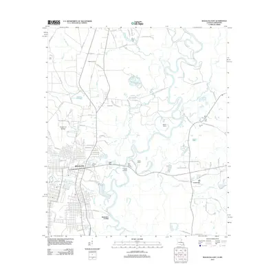 2012 Bogalusa East2012 Print · USGSBogalusa and the Pearl River valley are detailed here in the early twenty-first century. Researchers can trace family history through sites like Ponemah Cemetery and Miley Cemetery or locate the Richardson Landing and Piggott Crossing landmarks.
 - 2012 Map of Angie, 2012 Print
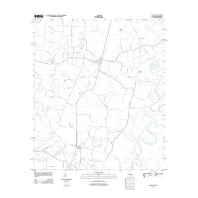 2012 Angie2012 Print · USGSWashington Parish near the Pearl River shows a landscape of timberlands and small communities in the early 2010s. Genealogists can trace numerous family burial sites including Rester Cem, Pierce Cem, and Old Fornea Cem, while landmarks like the Angle Lookout Tower mark the terrain.
 - 2012 Map of Poplarville, 2012 Print
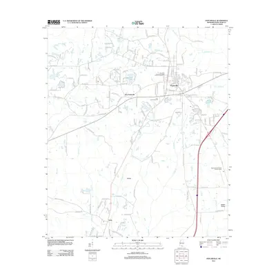 2012 Poplarville2012 Print · USGSPoplarville and the surrounding Pearl River County countryside are captured here in the early 2010s. Researchers can locate long-standing communities like Derby and Juniper Grove, or trace the campus layout of Pearl River Community College and the Pearl River Fairgrounds.
 - 2012 Map of Big Swamp, 2012 Print
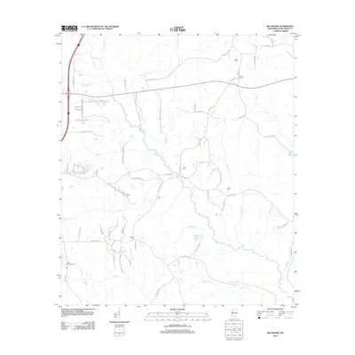 2012 Big Swamp2012 Print · USGSPearl River County's wetlands and family lands are surveyed here in the early 2000s, showing a landscape defined by the Wolf River drainage. Genealogists can locate several small burial sites including Myrick Cem and Frye Cem, or trace the rural routes of Troy Dedeaux Rd.
 - 2012 Map of Orvisburg, 2012 Print
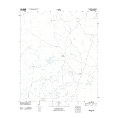 2012 Orvisburg2012 Print · USGSPearl River County at the start of the 2010s reveals a rural landscape deeply connected to its creeks and family lands. Genealogists and local historians can trace legacy sites like Orvisburg Cem, the Spring Hill Lookout Tower, and family-named routes such as Hersel Daughdrill Rd.
 - 2012 Map of White Sand, 2012 Print
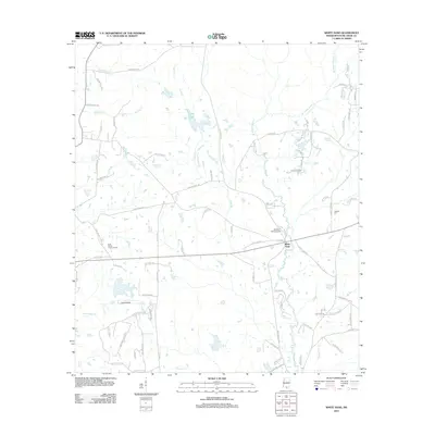 2012 White Sand2012 Print · USGSPearl River County rural life and aviation are captured here during the early twenty-first century. Researchers can trace family-named roads and sites like Holdens Cem, the Buck Branch Lookout Tower, and the local White Sand settlement area.
 - 2012 Map of Hillsdale, 2012 Print
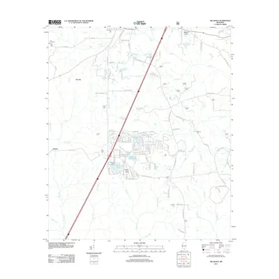 2012 Hillsdale2012 Print · USGSPearl River County at the start of the decade shows a landscape where established family settlements meet modern recreation. Genealogists and historians can trace local roots through the Byrd Line School and numerous family plots like Felix Ladner Cem and Rouse Field Cem.
 - 2012 Map of Millard, 2012 Print
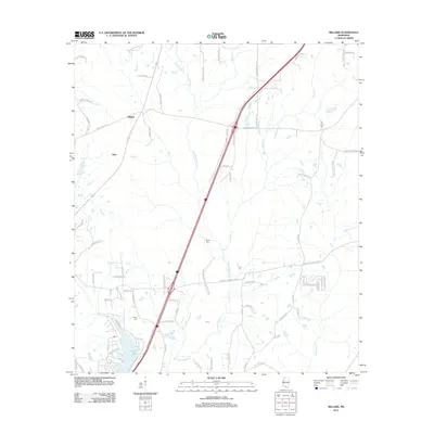 2012 Millard2012 Print · USGSPearl River County rural life is captured here in the early twenty-first century, showing the crossroads at Millard and Tyler. Genealogists can locate family landmarks like Martin Cem and Spiers Cem or trace the development of Anchor Lake.
 - 2012 Map of Savannah, 2012 Print
 2012 Savannah2012 Print · USGSPearl River County settlements and small family farms are scattered throughout this wooded Mississippi landscape in the early 2010s. Researchers can locate family burial sites at Anner Cem and Steep Hollow Cem, or trace rural road networks like Shawtown Rd and Melton Smith Rd.
 - 2012 Map of Industrial, 2012 Print
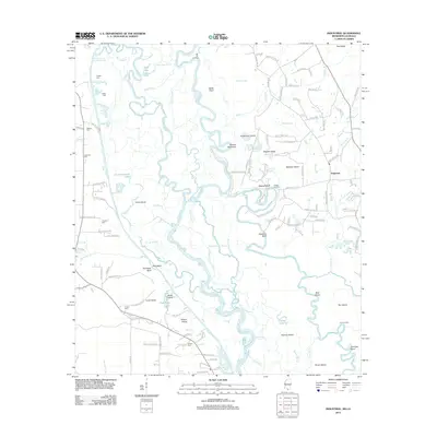 2012 Industrial2012 Print · USGSThe Pearl River and Bogue Chitto bottomlands at the Mississippi-Louisiana border are shown in high detail at the start of the 2010s. Researchers can locate family heritage sites like Hebron Cem and Thomas Cem or trace river landings such as Old Tar Landing.
 - 2012 Map of Silver Run, 2012 Print
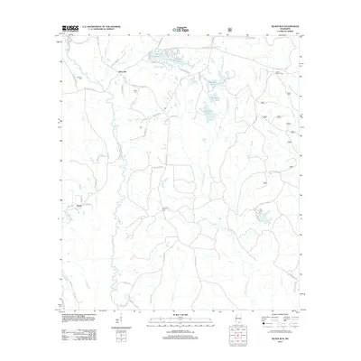 2012 Silver Run2012 Print · USGSSilver Run and the Pearl River County backcountry are captured here in the early twenty-first century, showing a landscape of timberlands and family homesteads. Researchers can locate ancestral sites like Dedeaux Cem or trace landmarks such as the Hickman Lookout Tower.
 - 2012 Map of Lumberton, 2012 Print
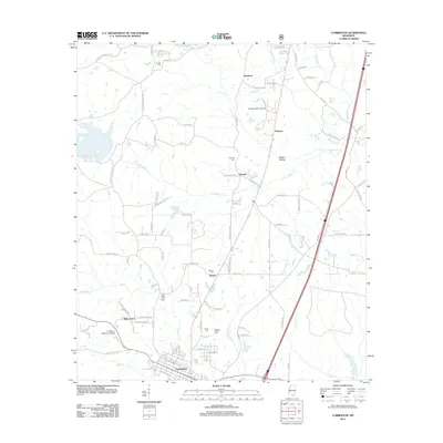 2012 Lumberton2012 Print · USGSLumberton and its rural surroundings are captured in the early twenty-first century, showing the evolution of this Lamar County settlement. Local historians can trace old family sites and burial grounds like Samuel Slade Cemetery and explore smaller communities such as Talowah and Wells Town.
 - 2012 Map of Rock Hill, 2012 Print
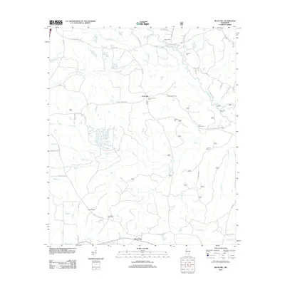 2012 Rock Hill2012 Print · USGSForrest County’s rural landscape is captured here in the early 2000s, centered on the community of Rock Hill. Genealogists and local researchers can locate numerous family burial grounds including Anderson Cem, the Forrest County Home, and the Rock Hill Lookout Tower.
 - 2012 Map of Fords Creek, 2012 Print
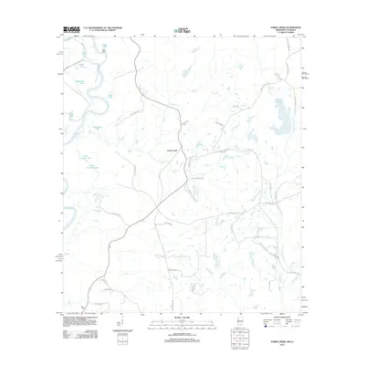 2012 Fords Creek2012 Print · USGSPearl River County in the early twenty-first century remains a landscape shaped by its namesake river and deep rural roots. Researchers can trace local landmarks and family-named roads such as Richie Cem, Fords Creek, and Hills of Sinai Rd.
 - 2012 Map of Carnes, 2012 Print
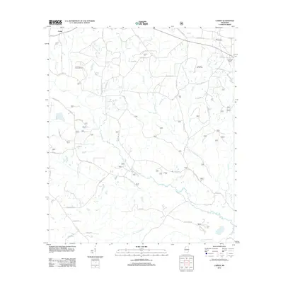 2012 Carnes2012 Print · USGSStone County life in the early twenty-first century is centered on rural communities like Carnes and Texas. Genealogists and historians can trace family roots through numerous burial sites including Entrekin Cem, Bounds Cem, and the Thomas School site.
 - 2012 Map of Caesar, 2012 Print
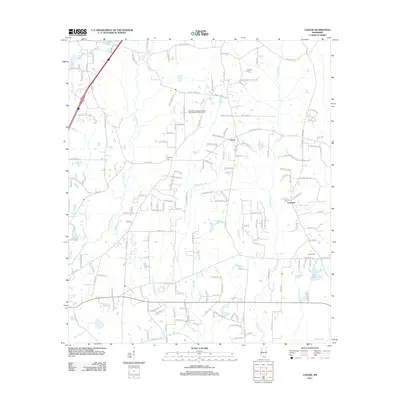 2012 Caesar2012 Print · USGSSouthern Mississippi's piney woods and creek bottoms are captured here in the early twenty-first century. Genealogists can locate family landmarks such as Pearson Cem, Gipson Cem, and the small community centers of Caesar and Leetown.
 - 2012 Map of Browns Lake, 2012 Print
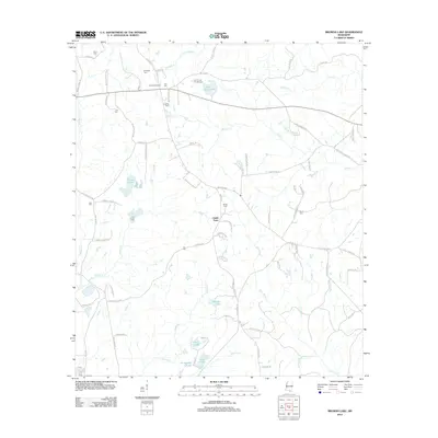 2012 Browns Lake2012 Print · USGSStone County in the early twenty-first century reveals a deeply rooted rural landscape centered on the settlement of Smith Town. Genealogists and local historians can trace family land via Lee Lookout Tower and numerous burial sites like Seals Cem and Daugdrill Cem.
 - 2012 Map of Henleyfield, 2012 Print
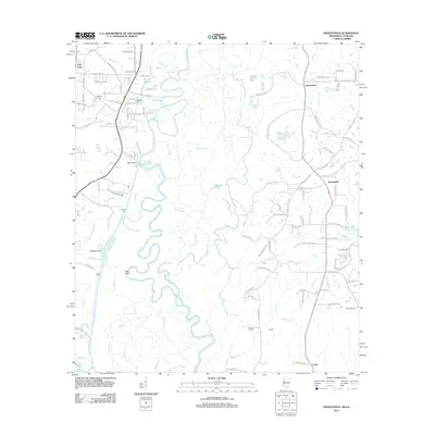 2012 Henleyfield2012 Print · USGSThe Pearl River valley comes into sharp focus in this early twenty-first century study of the Louisiana-Mississippi borderlands. Genealogists and local historians can locate several family cemeteries, including Duffys Cem and Sheridan Cem, alongside rural settlements like Henleyfield.
 - 2012 Map of Nicholson, 2012 Print
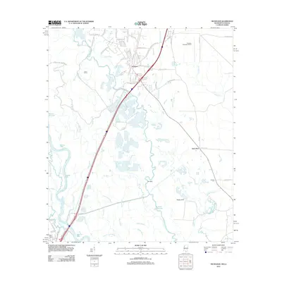 2012 Nicholson2012 Print · USGSSouthern Mississippi's riverine borderlands are captured here in the early twenty-first century, showing the interface between growing settlements and the Pearl River wetlands. Researchers can trace family history at Turtleskin Cem and Pearl River Cem or explore the intricate bayou networks near The Delta and Jackson Landing.
 - 2012 Map of McNeill, 2012 Print
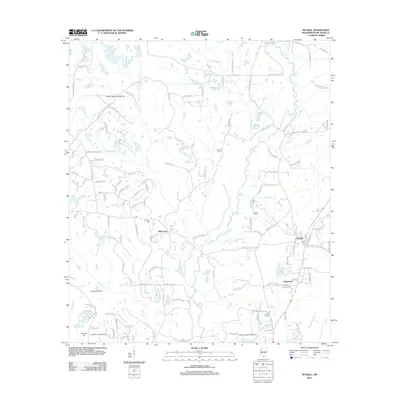 2012 McNeill2012 Print · USGSPearl River County in the early 2010s reveals a unique rural landscape defined by numerous private airfields and small settlements. Genealogists and historians can trace family roots through Holliman Cem or locate local landmarks like Lacy Lookout Tower and McNeill.
 - 2012 Map of Picayune, 2012 Print
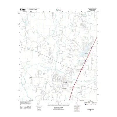 2012 Picayune2012 Print · USGSPicayune and its surrounding Pearl River County settlements are shown in detail during the early 2010s. Researchers can locate the Thigpen Cem, trace the drainage of Alligator Br, and explore the grounds of the Crosby Arboretum.
Showing maps 1-25 of 123
Top cities of Pearl River County
Frequently asked questions
- What are the different types of historical maps available for Pearl River County?
- What is the oldest map of Pearl River County?
- Where can I purchase historical maps of Pearl River County for my home or office?
- Where can I download high-res historical maps of Pearl River County?
- Are there historical topographic maps available for Pearl River County?
- Is there historical aerial imagery available for Pearl River County?
- Where are historical maps of Pearl River County sourced from?