2020s Maps of Pearl River County, Mississippi
Explore 48 historic maps of Pearl River County from the 2020s. These maps offer a rare glimpse into what life looked like during the 2020s — showing old roads, neighborhoods, homes, and landmarks that have changed or disappeared over time.
Whether you're researching your family's past, planning a metal detecting trip, or studying how Pearl River County's landscape evolved across the 2020s, these high-resolution maps are a powerful tool for exploring the history of this region.
- Focus on a specific era: All maps on this page are from the 2020s, giving you a focused view of this time period.
- See what’s changed: Compare century-old streets, trails, and buildings to today's modern landscape using overlays and satellite layers.
- Research with precision: Use these maps for genealogy, historical research, land use analysis, or educational projects.
- View, download, or print: Maps are fully viewable online in high resolution, and can be downloaded or printed for your own records.
Start exploring Pearl River County's history through authentic maps from the 2020s. This is your window into the past.
Pearl River County, MS maps
(48)- 2020 Map of Angie, 2020 Print
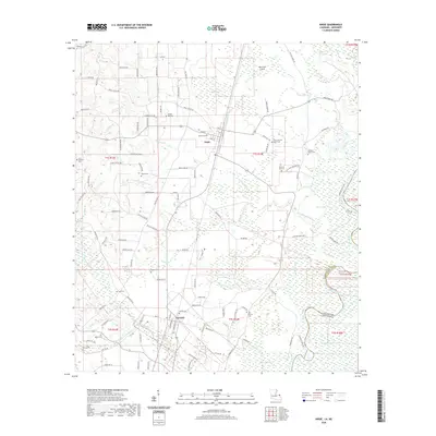 2020 Angie2020 Print · USGSWashington Parish at the turn of the decade is defined by its rural settlements and the winding Pearl River bottomlands. Researchers can trace family history through a high density of burial sites like Wesley Ray Cemetery and Fornea Cemetery.
 - 2020 Map of Bogalusa East, 2020 Print
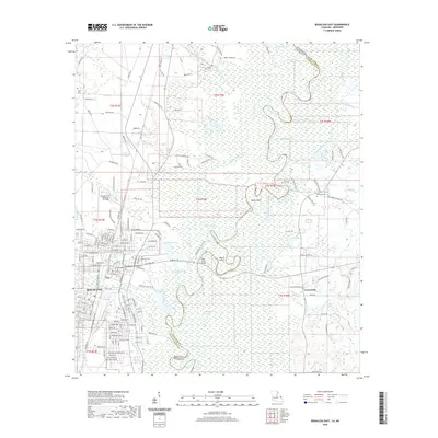 2020 Bogalusa East2020 Print · USGSBogalusa and the Pearl River swamp lands are captured here in the early twenty-first century as the city meets the winding Mississippi state line. Researchers can locate family landmarks like Ponemah Cem and Kennedy Cem, or trace water routes through Peters Cutoff and Hamp Island.
 - 2020 Map of Hickory, 2020 Print
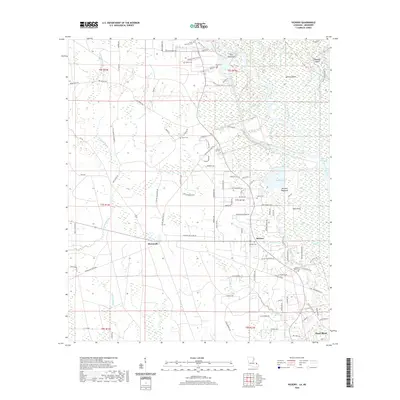 2020 Hickory2020 Print · USGSThe transition from the Honey Island Swamp to rural communities like Hickory is captured here in the early twenty-first century. Genealogists can trace family heritage through numerous burial grounds including Hickory Cem, Moran Cem, and Henry Talley Cem.
 - 2020 Map of Baxterville SW, 2020 Print
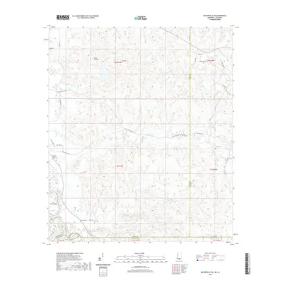 2020 Baxterville SW2020 Print · USGSThe rural borderlands of southern Mississippi and northern Louisiana are documented here at the turn of the decade. Genealogists can locate several family and community burial sites, including Ford Cem, New Hope Cem, and Howard Cem.
 - 2020 Map of White Sand, 2020 Print
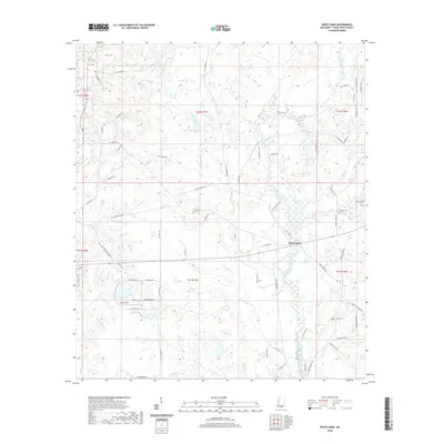 2020 White Sand2020 Print · USGSWhite Sand and the surrounding Pearl River County countryside are captured here in the early twenty-first century. Genealogists and local historians can trace family-named sites like Holdens Cem and Oreck Farms, or locate the rural Oreck Airport near the banks of West Hobolochitto Creek.
 - 2020 Map of Big Swamp, 2020 Print
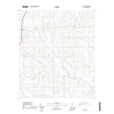 2020 Big Swamp2020 Print · USGSThe Pearl River County interior comes into focus here during the early twenty-first century, centered on the wetlands east of Poplarville. Genealogists and local historians can trace family land proximity to landmarks like Myrick Cem, Waterhole Brake, and Antler Ridge.
 - 2020 Map of Orvisburg, 2020 Print
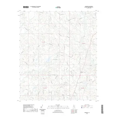 2020 Orvisburg2020 Print · USGSPearl River County at the start of the 2020s shows a landscape of timbered creek bottoms and quiet rural settlements. Genealogists can trace family connections via Orvisburg Cem and roads like Burge and Reyer Rd or Wayne Pardue Rd.
 - 2020 Map of Baxterville, 2020 Print
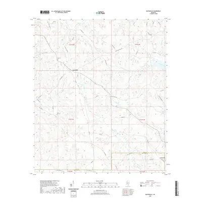 2020 Baxterville2020 Print · USGSBaxterville and the surrounding piney woods come into focus on the eve of the 2020s. Researchers can trace family sites at Baxterville Cem or follow the route of Tatum Salt Dome Rd and Crown Zellerback Rd through the brakes and creeks.
 - 2020 Map of Industrial, 2020 Print
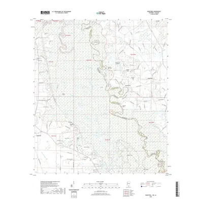 2020 Industrial2020 Print · USGSThe Pearl River bottomlands at the Mississippi-Louisiana line come alive in this recent survey of the swamp and bluff country. Genealogists and local historians can locate many small burial sites like Hebron Baptist Cem and trace the winding course of the West Pearl River past Industrial and Talisheek.
 - 2020 Map of Picayune, 2020 Print
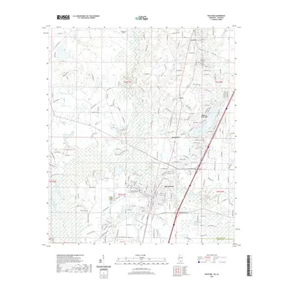 2020 Picayune2020 Print · USGSPicayune and the surrounding Pearl River County countryside are captured here in the early twenty-first century as suburban growth reaches into the pinewoods. Researchers can locate the Pearl River Cem, the George Ford Airport, and the planned waterside community of Hide-A-Way Lake.
 - 2020 Map of Henleyfield, 2020 Print
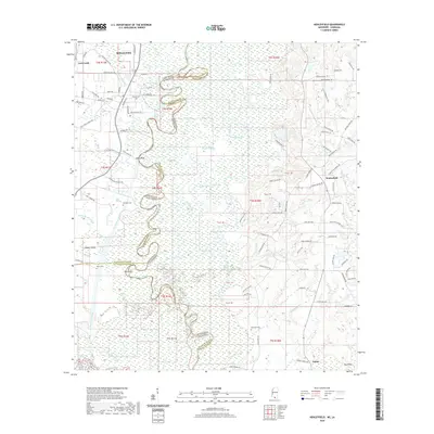 2020 Henleyfield2020 Print · USGSThe Pearl River forms a winding border between Louisiana and Mississippi in this 2020 study of the Bogalusa vicinity. Researchers can locate family sites at Duffys Cem and Sheridan Cem or trace the river's path past Pools Bluff and Hidden Island.
 - 2020 Map of Savannah, 2020 Print
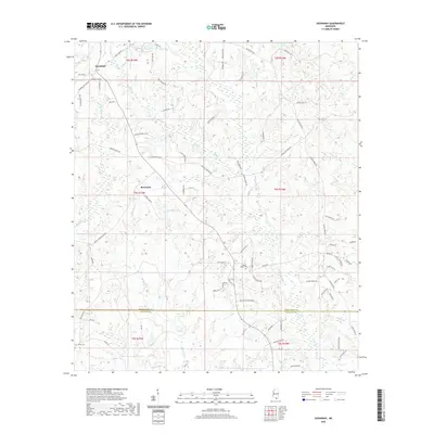 2020 Savannah2020 Print · USGSThe Pearl River and Hancock County line is captured in this modern survey of the Savannah area. Researchers can trace rural family roots through features like Steep Hollow Cem, Anner Cem, and the old crossroads at Rowlands.
 - 2020 Map of Caesar, 2020 Print
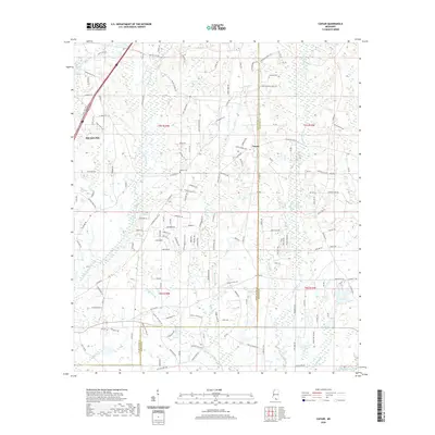 2020 Caesar2020 Print · USGSCoastal Mississippi's piney woods and creek bottoms are documented here in the early twenty-first century as the area balances rural roots with nearby growth. Researchers can locate family landmarks like Pearson Cem or trace the winding course of Catahoula Cr and Dead Tiger Cr.
 - 2020 Map of McNeill, 2020 Print
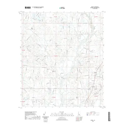 2020 McNeill2020 Print · USGSSouthern Mississippi's rural character and small-town roots are preserved here as they appeared in 2020. Local researchers can locate family burial sites at Mitchell Cem and Smith Cem or trace the drainage of Mill Cr into West Hobolochitto Creek.
 - 2020 Map of Fords Creek, 2020 Print
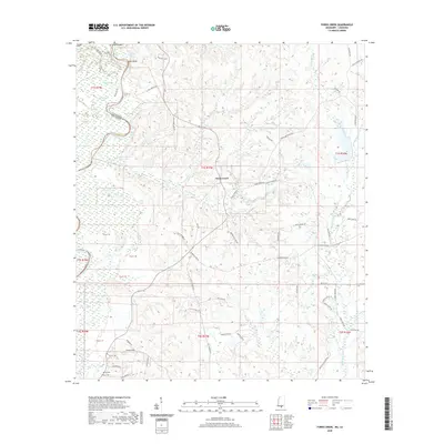 2020 Fords Creek2020 Print · USGSThe Pearl River bottomlands at the Mississippi-Louisiana border are revealed here just as the new decade began. Researchers can trace the winding course of the Pearl River and locate local landmarks like Richie Cem and the settlement of Fords Creek.
 - 2020 Map of Poplarville, 2020 Print
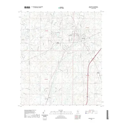 2020 Poplarville2020 Print · USGSPoplarville and its surrounding Pearl River County countryside are captured here in the early twenty-first century. Researchers can trace the layout of the County Courthouse, the Derby settlement, and local landmarks like Bonner Lake.
 - 2020 Map of Browns Lake, 2020 Print
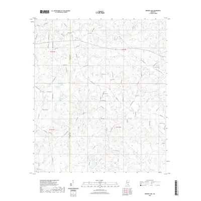 2020 Browns Lake2020 Print · USGSThe Pearl River and Stone County line comes alive in this modern survey of the Biloxi River headwaters. Genealogists and local historians can pinpoint family landmarks like Daugdrill Cem, Red Creek Cem, and the waters of Lake Toc-O-Leen.
 - 2021 Map of Millard, 2021 Print
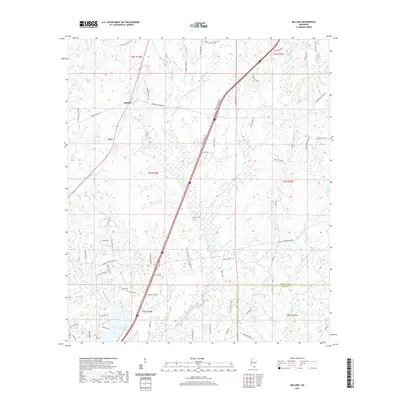 2021 Millard2021 Print · USGSPearl River County at the start of the 2020s shows a landscape defined by its rural settlements and sprawling creek systems. Researchers can trace family history at Spiers Cem or locate properties along Savannah Millard Rd and near Anchor Lake.
 - 2021 Map of Nicholson, 2021 Print
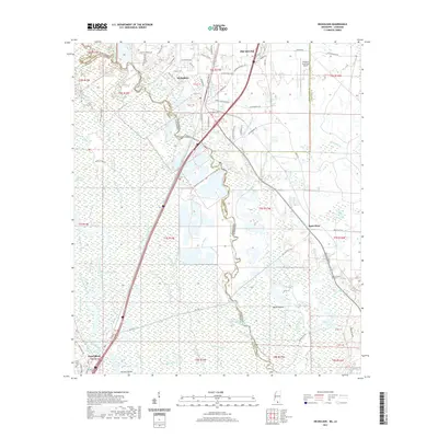 2021 Nicholson2021 Print · USGSPearl River County and the borderlands of Louisiana appear in high detail during the early 2020s as the communities of Picayune and Nicholson expand. Researchers can trace the winding Pearl River, locate family sites near Turtleskin Cem, and study the intricate waterways of the Honey Island Swamp.
 - 2021 Map of Silver Run, 2021 Print
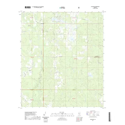 2021 Silver Run2021 Print · USGSSilver Run and the eastern De Soto National Forest appear here in the early twenty-first century, reflecting a landscape of timber and family homesteads. Genealogists can locate several local burial grounds, including Dedeaux Cem and Ladner Cem, alongside named water features like Happy Lake.
 - 2021 Map of Carnes, 2021 Print
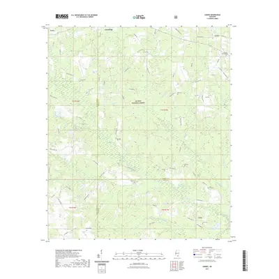 2021 Carnes2021 Print · USGSThe rural borderlands of South Mississippi are captured here in recent years, showing the intersection of three counties within the De Soto National Forest. Researchers can locate numerous family burial grounds including Entrekin Cem, Seal Cem, and the Bounds Cem near the banks of Red Creek.
 - 2021 Map of Hillsdale, 2021 Print
 2021 Hillsdale2021 Print · USGSCoastal plain pine forests and quiet settlements define this region of Pearl River County in recent years. Genealogists and historians can locate numerous family-named landmarks and burial grounds, including Rouse Field Cem, Lumpkin Cem, and the waters of Catfish Lake.
 - 2021 Map of Rock Hill, 2021 Print
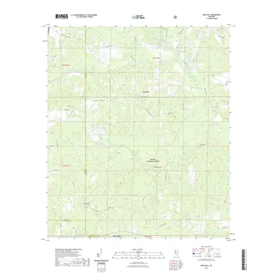 2021 Rock Hill2021 Print · USGSForrest County at the start of the 2020s remains a landscape of deep timber and winding creek bottoms. Genealogists and local historians can trace family roots through several isolated burial sites, including Battson Cem, Slade Cem, and Rock Hill Cem near Pistol Ridge.
 - 2021 Map of Lumberton, 2021 Print
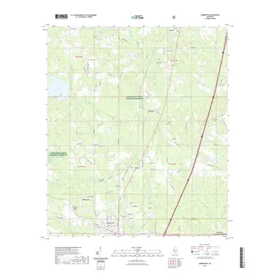 2021 Lumberton2021 Print · USGSLumberton and the surrounding Lamar County timberlands are documented here in the early twenty-first century. Genealogists can locate family-named landmarks and burial grounds including Samuel Slade Cemetery, Seneca, and the I H Bass Jr Memorial Airport.
 - 2024 Map of Hickory, 2024 Print
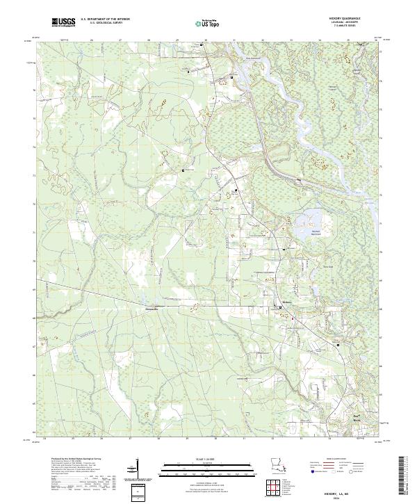 2024 Hickory2024 Print · USGSThe St. Tammany Parish lowlands are captured here in the early twenty-first century, showcasing the intricate waterway networks of the Pearl River basin. Genealogists and local historians can trace family-named routes and small burial sites like Charter Oak Cem, Talley Cem, and Hickory Cem.
Showing maps 1-25 of 48
Top cities of Pearl River County
Frequently asked questions
- What are the different types of historical maps available for Pearl River County?
- What is the oldest map of Pearl River County?
- Where can I purchase historical maps of Pearl River County for my home or office?
- Where can I download high-res historical maps of Pearl River County?
- Are there historical topographic maps available for Pearl River County?
- Is there historical aerial imagery available for Pearl River County?
- Where are historical maps of Pearl River County sourced from?