2000s (21st Century) Maps of Pontotoc County, Mississippi
Explore 79 historic maps of Pontotoc County from the 2000s (21st Century). These maps offer a rare glimpse into what life looked like during the 2000s — showing old roads, neighborhoods, homes, and landmarks that have changed or disappeared over time.
Whether you're researching your family's past, planning a metal detecting trip, or studying how Pontotoc County's landscape evolved across the 2000s, these high-resolution maps are a powerful tool for exploring the history of this region.
- Focus on a specific era: All maps on this page are from the 2000s, giving you a focused view of this time period.
- See what’s changed: Compare century-old streets, trails, and buildings to today's modern landscape using overlays and satellite layers.
- Research with precision: Use these maps for genealogy, historical research, land use analysis, or educational projects.
- View, download, or print: Maps are fully viewable online in high resolution, and can be downloaded or printed for your own records.
Start exploring Pontotoc County's history through authentic maps from the 2000s. This is your window into the past.
Pontotoc County, MS maps
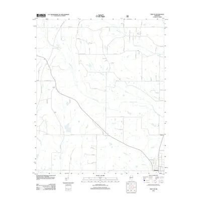
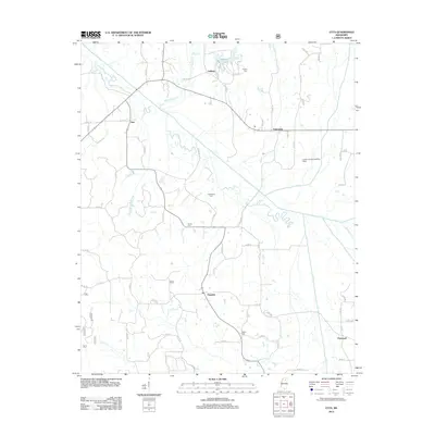
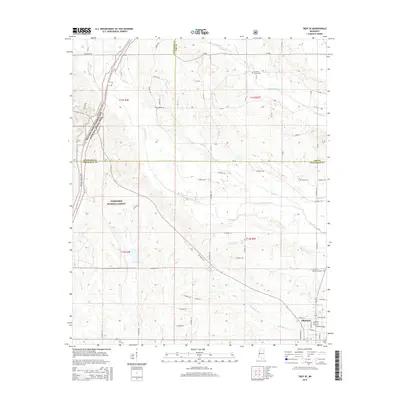
(79)- 2000 Map of Troy, 2002 Print
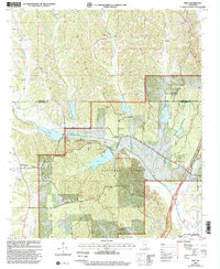 2000 Troy2002 Print · USGSThe hill country of Chickasaw and Pontotoc counties is shown here at the turn of the millennium, centered on the protected lands of the Tombigbee National Forest. Researchers can locate historic rural congregations and sites like the Owl Creek Indian Mounds, Old Houlka, and Toxish Ch.
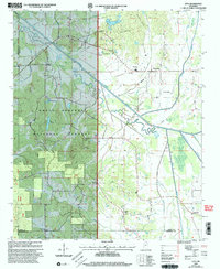
 - 2000 Map of Troy SE, 2002 Print
 2000 Troy SE2002 Print · USGSChickasaw and Lee Counties at the turn of the millennium show a landscape of forest reserves and small crossroads communities. Genealogists can trace family landmarks like Snow Town Ch Cem, Bethany, and Union Chapel near the Natchez Trace Parkway.
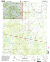
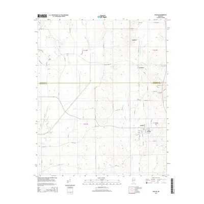
 - 2000 Map of Etta, 2003 Print
 2000 Etta2003 Print · USGSNorth Mississippi's rural landscape at the turn of the millennium shows the intersection of the Holly Springs National Forest and local farming communities. Researchers can locate family landmarks like West Union Sch, Pisgah Cem, and the old settlement of Etta.
 - 2000 Map of Thaxton, 2003 Print
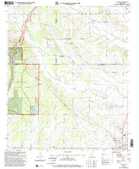
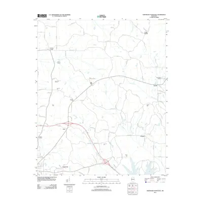
 2000 Thaxton2003 Print · USGSPontotoc and Lafayette counties appear at the turn of the twenty-first century, showing the intersection of managed forest and rural settlement. Researchers can locate family landmarks like Spring Hill Ch, trace the namesake Toccopola Creek, and find the community of Thaxton.
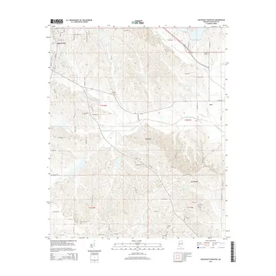
 - 2012 Map of Southwest Pontotoc, 2012 Print
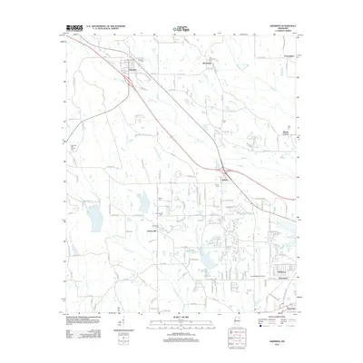
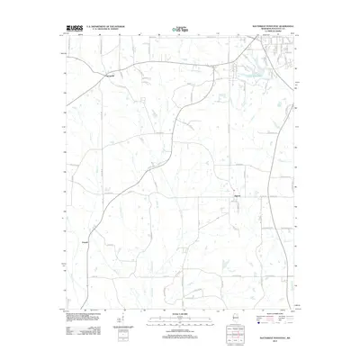 2012 Southwest Pontotoc2012 Print · USGSCovers Pontotoc County, including Pontotoc, Algoma, and other nearby areas
 - 2012 Map of Robbs, 2012 Print
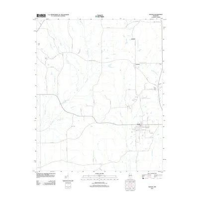
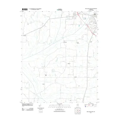
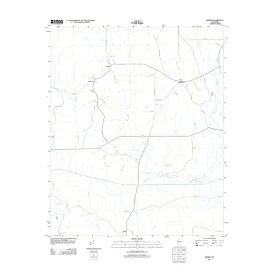 2012 Robbs2012 Print · USGSCovers Pontotoc County, including Buckhorn, Robbs, and other nearby areas
 - 2012 Map of Troy SE, 2012 Print
 2012 Troy SE2012 Print · USGSCovers Pontotoc County, including Okolona, Lee County, and other nearby areas
 - 2012 Map of Bissell, 2012 Print
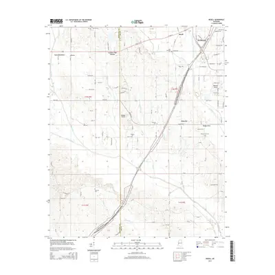
 2012 Bissell2012 Print · USGSCovers Pontotoc County, including Tupelo, Fawn Meadows, and other nearby areas
 - 2012 Map of Houlka, 2012 Print
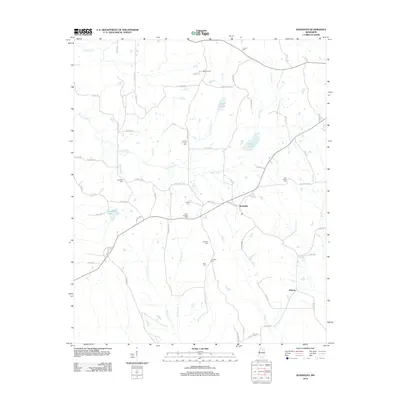
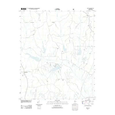
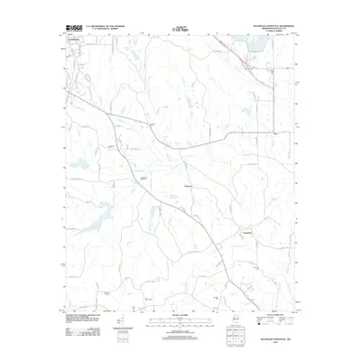
 2012 Houlka2012 Print · USGSCovers Pontotoc County, including Gershorm, New Houlka, and other nearby areas
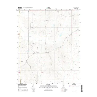
 - 2012 Map of Randolph, 2012 Print
 2012 Randolph2012 Print · USGSCovers Pontotoc County, including Toccopola, Hebron, and other nearby areas
 - 2012 Map of Etta, 2012 Print
 2012 Etta2012 Print · USGSCovers Pontotoc County, including Flatwood, Enterprise, and other nearby areas
 - 2012 Map of Thaxton, 2012 Print
 2012 Thaxton2012 Print · USGSCovers Pontotoc County, including Thaxton, Toccopola, and other nearby areas
 - 2012 Map of Sherman, 2012 Print
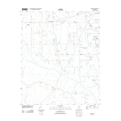
 2012 Sherman2012 Print · USGSCovers Pontotoc County, including Tupelo, Chesterville, and other nearby areas
 - 2012 Map of New Albany East, 2012 Print
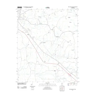 2012 New Albany East2012 Print · USGSCovers Pontotoc County, including New Albany, Blue Springs, and other nearby areas
 - 2012 Map of Troy, 2012 Print
 2012 Troy2012 Print · USGSCovers Pontotoc County, including Goodford, Old Houlka, and other nearby areas
 - 2012 Map of Northwest Pontotoc, 2012 Print
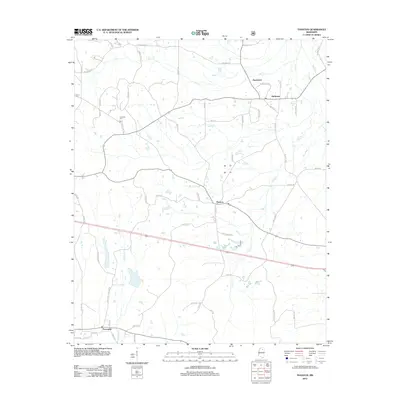
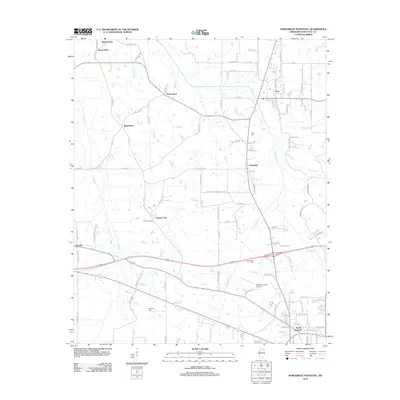 2012 Northwest Pontotoc2012 Print · USGSCovers Pontotoc County, including Pontotoc, Ecru, and other nearby areas
 - 2012 Map of New Albany West, 2012 Print
 2012 New Albany West2012 Print · USGSCovers Pontotoc County, including New Albany, Ecru, and other nearby areas
 - 2012 Map of Northeast Pontotoc, 2012 Print
 2012 Northeast Pontotoc2012 Print · USGSCovers Pontotoc County, including Pontotoc, Longview, and other nearby areas
 - 2012 Map of Southeast Pontotoc, 2012 Print
 2012 Southeast Pontotoc2012 Print · USGSCovers Pontotoc County, including Pontotoc, Woodland, and other nearby areas
 - 2015 Map of Bissell, 2015 Print
 2015 Bissell2015 Print · USGSCovers Pontotoc County, including Tupelo, Fawn Meadows, and other nearby areas
 - 2015 Map of Southeast Pontotoc, 2015 Print
 2015 Southeast Pontotoc2015 Print · USGSCovers Pontotoc County, including Pontotoc, Woodland, and other nearby areas
 - 2015 Map of Robbs, 2015 Print
 2015 Robbs2015 Print · USGSCovers Pontotoc County, including Buckhorn, Robbs, and other nearby areas
 - 2015 Map of Troy SE, 2015 Print
 2015 Troy SE2015 Print · USGSCovers Pontotoc County, including Okolona, Lee County, and other nearby areas
 - 2015 Map of Randolph, 2015 Print
 2015 Randolph2015 Print · USGSCovers Pontotoc County, including Toccopola, Hebron, and other nearby areas
 - 2015 Map of Houlka, 2015 Print
 2015 Houlka2015 Print · USGSCovers Pontotoc County, including Gershorm, New Houlka, and other nearby areas
Showing maps 1-25 of 79
Top cities of Pontotoc County
- Pontotoc historical maps
- Ecru historical maps
- Algoma historical maps
- Thaxton historical maps
- Toccopola historical maps
Frequently asked questions
- What are the different types of historical maps available for Pontotoc County?
- What is the oldest map of Pontotoc County?
- Where can I purchase historical maps of Pontotoc County for my home or office?
- Where can I download high-res historical maps of Pontotoc County?
- Are there historical topographic maps available for Pontotoc County?
- Is there historical aerial imagery available for Pontotoc County?
- Where are historical maps of Pontotoc County sourced from?