2020s Maps of Pontotoc County, Mississippi
Explore 30 historic maps of Pontotoc County from the 2020s. These maps offer a rare glimpse into what life looked like during the 2020s — showing old roads, neighborhoods, homes, and landmarks that have changed or disappeared over time.
Whether you're researching your family's past, planning a metal detecting trip, or studying how Pontotoc County's landscape evolved across the 2020s, these high-resolution maps are a powerful tool for exploring the history of this region.
- Focus on a specific era: All maps on this page are from the 2020s, giving you a focused view of this time period.
- See what’s changed: Compare century-old streets, trails, and buildings to today's modern landscape using overlays and satellite layers.
- Research with precision: Use these maps for genealogy, historical research, land use analysis, or educational projects.
- View, download, or print: Maps are fully viewable online in high resolution, and can be downloaded or printed for your own records.
Start exploring Pontotoc County's history through authentic maps from the 2020s. This is your window into the past.
Pontotoc County, MS maps
(30)- 2020 Map of Northeast Pontotoc, 2020 Print
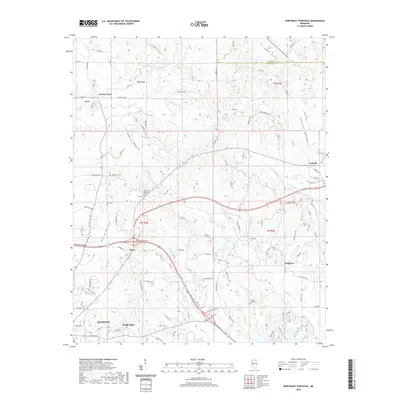 2020 Northeast Pontotoc2020 Print · USGSPontotoc County's northern landscape is shown here as it appears today, from the city of Pontotoc up to the community of Ecru. Local historians can trace family ties at Harmony Cem or locate rural landmarks like Dozier Hill and the crossroads at Rough Edge.
 - 2021 Map of Bissell, 2021 Print
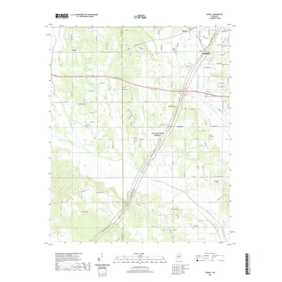 2021 Bissell2021 Print · USGSWestern Lee County and the outskirts of Tupelo are seen here in the early 2020s as suburban growth meets rural traditions. Family researchers can locate numerous historical burial sites like Old Coffee Cem and Mallory Family Cem near the Natchez Trace Pkwy.
 - 2021 Map of New Albany West, 2021 Print
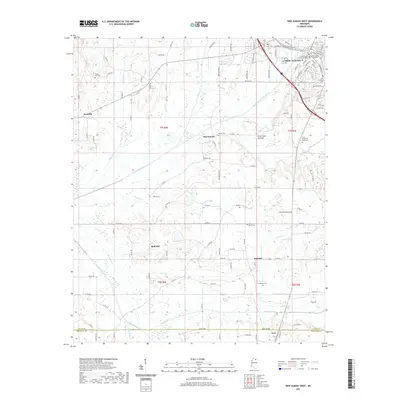 2021 New Albany West2021 Print · USGSNew Albany and the surrounding Union County countryside are detailed here during the early 2020s. Genealogists and researchers can trace local landmarks like Union Hill Cem or locate community centers in Martintown and Ingomar near the Little Tallahatchie River.
 - 2021 Map of Robbs, 2021 Print
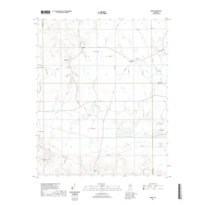 2021 Robbs2021 Print · USGSMississippi's hill country comes into focus in this contemporary survey where Calhoun, Pontotoc, and Chickasaw counties meet. Researchers can trace the routes between old crossroads settlements like Robbs and Buckhorn or find rural burial sites including Collums Cem and Indian Creek Cem.
 - 2021 Map of Northwest Pontotoc, 2021 Print
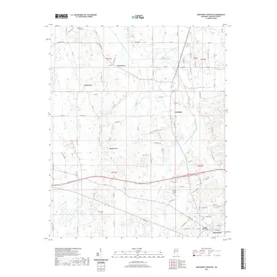 2021 Northwest Pontotoc2021 Print · USGSPontotoc County remains a land of small communities and family landmarks in the early twenty-first century. Genealogists and local historians can trace legacy sites from Hortontown to Friendship, or locate rural burials at Babb Cem and Weatherall Cem.
 - 2021 Map of Houlka, 2021 Print
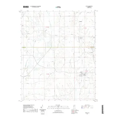 2021 Houlka2021 Print · USGSThe rural borders of Chickasaw and Pontotoc Counties are captured here during the early 2020s, showcasing the persistent small-town character of the Mississippi interior. Researchers can locate several burial grounds like Indian Creek Cem and Holladay Cem, or trace the path of the Skuna River through New Houlka.
 - 2021 Map of Randolph, 2021 Print
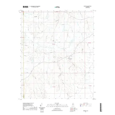 2021 Randolph2021 Print · USGSToccopola and Randolph appear in the early 2020s, showing the enduring rural layout of the Pontotoc County countryside. Genealogists can trace family heritage through numerous landmarks like Carey Springs Cem, Bramlett Cem, and Herndon Cem along the Yocona River basin.
 - 2021 Map of Southwest Pontotoc, 2021 Print
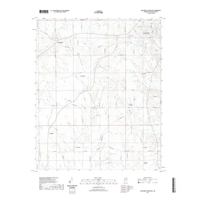 2021 Southwest Pontotoc2021 Print · USGSThe outskirts of Pontotoc County come into focus in this contemporary survey of the North Mississippi interior. Genealogists and local historians can trace the rural networks surrounding Algoma, Springville, and the waters of the Skuna River.
 - 2021 Map of Southeast Pontotoc, 2021 Print
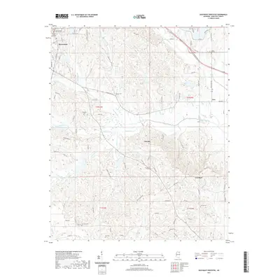 2021 Southeast Pontotoc2021 Print · USGSPontotoc County at the start of the 2020s shows a landscape of historic county seats and quiet rural hamlets. Researchers can locate family landmarks like College Hill Cem and Edington Cem near the communities of Chiwapa and Zion.
 - 2021 Map of New Albany East, 2021 Print
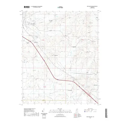 2021 New Albany East2021 Print · USGSEastern Union County and the outskirts of New Albany are captured here in the early 2020s, showing a landscape of rural communities and family legacies. Genealogists can trace numerous local sites including Adair Cem, Wallerville, and the settlement at Blue Springs.
 - 2021 Map of Sherman, 2021 Print
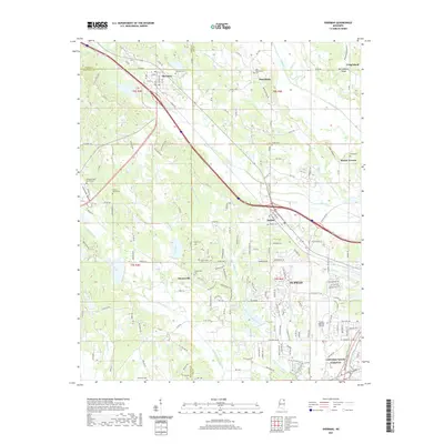 2021 Sherman2021 Print · USGSNorthwest Mississippi at the edge of the Tupelo suburbs reveals a landscape where modern aviation and historical parkways meet. Researchers can trace family ties at the Chesterville Cemetery, Belden Cemetery, and along the historic Natchez Trace Parkway.
 - 2021 Map of Troy SE, 2021 Print
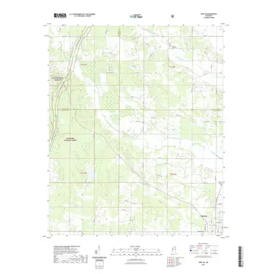 2021 Troy SE2021 Print · USGSOkolona and the surrounding timberlands of the Tombigbee National Forest appear in this recent survey of the North Mississippi interior. Local researchers can trace the historic route of the Natchez Trace Pkwy and locate family plots at Pleasant Grove Cem.
 - 2021 Map of Troy, 2021 Print
 2021 Troy2021 Print · USGSNortheastern Mississippi at the turn of the 2020s remains a landscape of dense national forest and deep-rooted rural settlements. Researchers can trace family history through local landmarks like Old Houlka, Rose Hill Cem, and the timbered hills around Davis Lake.
 - 2021 Map of Thaxton, 2021 Print
 2021 Thaxton2021 Print · USGSThis part of Pontotoc County shows its rural character and woodland borders in the early 2020s. Genealogists can trace family landmarks near Thaxton and Toccopola, including Union Cem, Laodicea Cem, and the reaches of Buttermilk Br.
 - 2021 Map of Etta, 2021 Print
 2021 Etta2021 Print · USGSThe Little Tallahatchie River basin and Holly Springs National Forest define this Union County landscape in the early 2020s. Researchers can locate longstanding rural landmarks like Pisgah Cem, the settlement of Enterprise, and the quiet waters of Darden Lake.
 - 2024 Map of New Albany East, 2024 Print
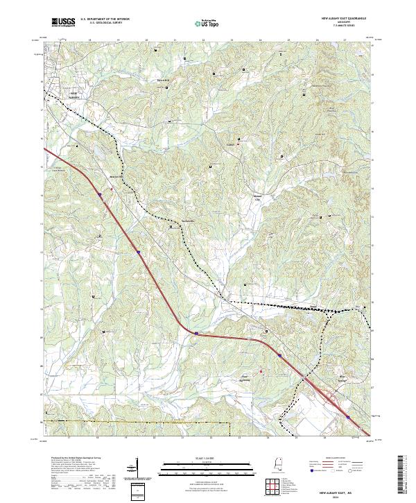 2024 New Albany East2024 Print · USGSEastern Union County and the hills of North Mississippi are captured in this 2024 survey as the region continues to evolve. Local historians can trace the foundations of Blue Springs, New Harmony, and Wallerville alongside family-named sites like Snider Cem and Rakestraw Mountain.
 - 2024 Map of Southwest Pontotoc, 2024 Print
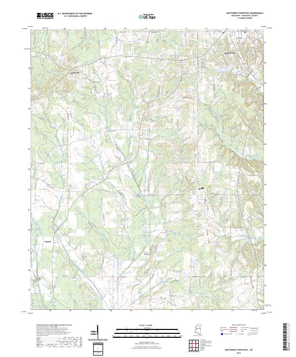 2024 Southwest Pontotoc2024 Print · USGSPontotoc and its rural surroundings are captured here in the 2020s, showing the intersection of local town life and the agricultural uplands. Genealogists and local historians can trace the paths around Algoma, Springville, and the family-named lanes branching off the Pontotoc Ridge.
 - 2024 Map of Houlka, 2024 Print
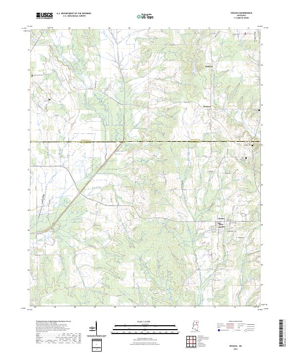 2024 Houlka2024 Print · USGSThe borderlands of Chickasaw and Pontotoc counties are captured here in the modern era, showing the twin settlements of Houlka and New Houlka. Researchers can locate several family-named landmarks and rural burial sites including Williams Cem, Holladay Cem, and Indian Creek Cem.
 - 2024 Map of Robbs, 2024 Print
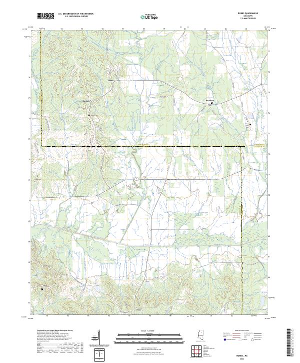 2024 Robbs2024 Print · USGSCalhoun and Pontotoc counties are shown here as a landscape of river bottoms and rural crossroads in the early twenty-first century. Genealogists and local historians can trace family locations near Hunters Cem, Blount Cem, and the old settlement of Robbs.
 - 2024 Map of Randolph, 2024 Print
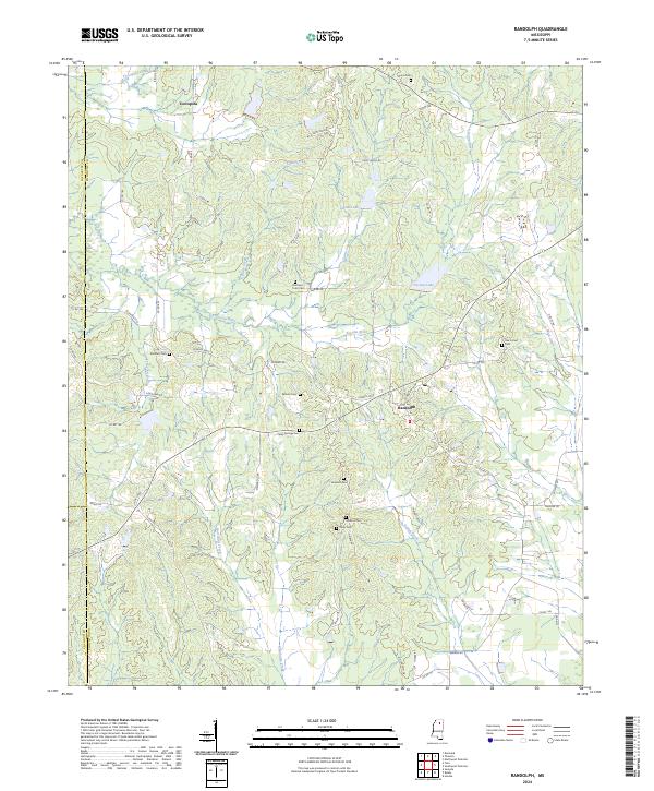 2024 Randolph2024 Print · USGSThe rural crossroads of Pontotoc County come into focus in the early twenty-first century, showing a landscape defined by the Yocona River and local history. Researchers can trace ancestral sites at Harrison Tutor Cem, Oak Forest Cem, and Salmon Cem tucked among the creeks.
 - 2024 Map of New Albany West, 2024 Print
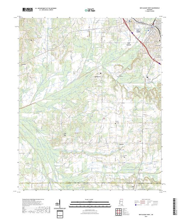 2024 New Albany West2024 Print · USGSNew Albany and the surrounding Union County hills appear in modern detail in this recent survey. Local historians can trace family roots through numerous burial sites like Union Hill Cem and Pleasant Grove Cem, or locate rural centers like Martintown and Ingomar.
 - 2024 Map of Bissell, 2024 Print
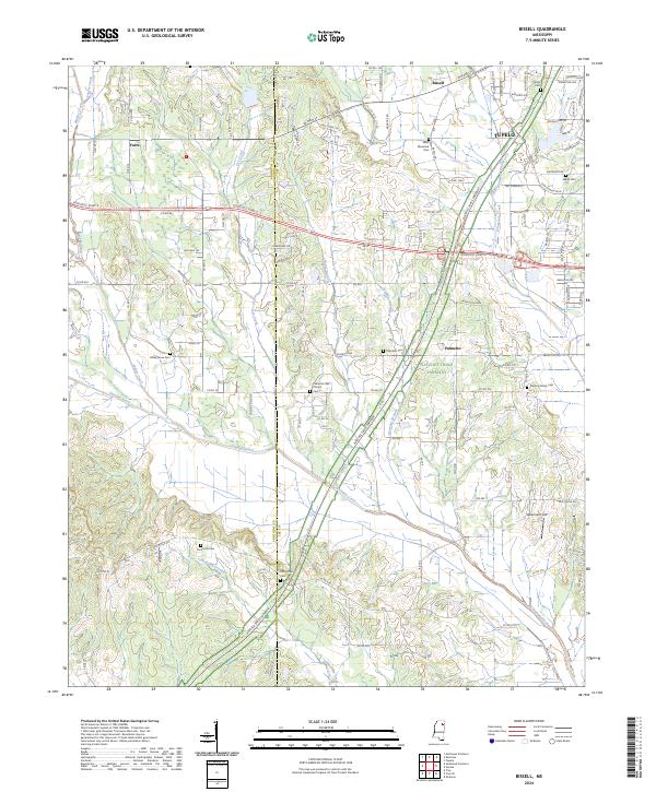 2024 Bissell2024 Print · USGSLee County's rural transitions and the western outskirts of Tupelo are captured in this recent survey. Researchers can trace historic family burial sites like Old Coffee Cem and Mallory Family Cem near the Natchez Trace Parkway.
 - 2024 Map of Thaxton, 2024 Print
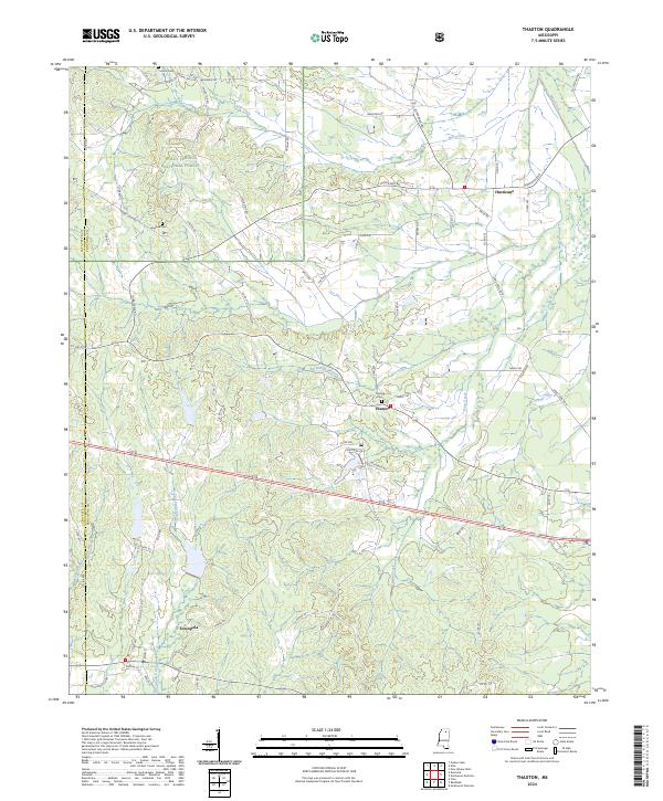 2024 Thaxton2024 Print · USGSThaxton and the surrounding Pontotoc County countryside are shown here in the 2020s as a landscape of timbered hills and headwater streams. Researchers can locate family landmarks like Union Church, Laodicea Cem, and the small settlement of Toccopola.
 - 2024 Map of Northwest Pontotoc, 2024 Print
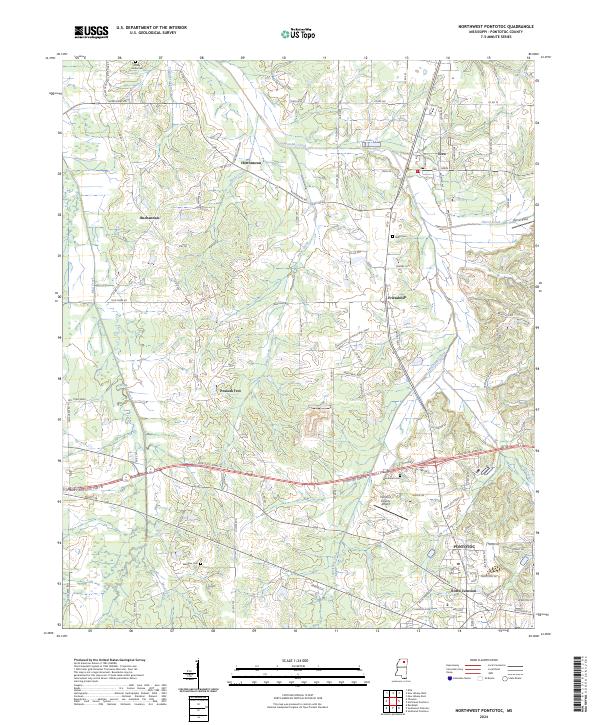 2024 Northwest Pontotoc2024 Print · USGSPontotoc County's rural communities and industrial corridors come into focus in this contemporary survey of northern Mississippi. Researchers can trace family sites at Shady Grove Cem or explore settlements like Ecru, Possum Trot, and Friendship.
 - 2024 Map of Etta, 2024 Print
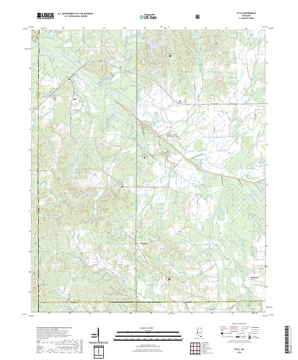 2024 Etta2024 Print · USGSUpper Mississippi hill country comes into focus here, showing the rural communities of Union and Pontotoc counties. Genealogists can trace family footprints across Pisgah Cem, the settlement of Etta, and the banks of the Little Tallahatchie River.
Showing maps 1-25 of 30
Top cities of Pontotoc County
- Pontotoc historical maps
- Ecru historical maps
- Algoma historical maps
- Thaxton historical maps
- Toccopola historical maps
Frequently asked questions
- What are the different types of historical maps available for Pontotoc County?
- What is the oldest map of Pontotoc County?
- Where can I purchase historical maps of Pontotoc County for my home or office?
- Where can I download high-res historical maps of Pontotoc County?
- Are there historical topographic maps available for Pontotoc County?
- Is there historical aerial imagery available for Pontotoc County?
- Where are historical maps of Pontotoc County sourced from?