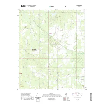
2021 Map of Etta
USGS Topo · Published 2021About this map
The Little Tallahatchie River meanders across this northern Mississippi landscape, defining a wide basin between the Darden Hills and the wooded expanses of the Holly Springs National Forest. The 2021 topography reveals a rural network of small settlements and family burial grounds that have anchored this region for generations. Small communities like Etta and Enterprise are connected by a web of county roads, while Pinedale and Flatwood sit further south and east.
Find a feature on this map
65 named features on this map. Tap any name to fly to it.
Don’t see what you’re looking for? This feature index may not catch every label — zoom into the map to look around manually.
Map Details
Editions of this 2021 Etta Map
This is the sole edition of this map. No revisions or reprints were ever made.
Other maps of this area

1942 · Denmark
USGS Topo · 1:62,500

1943 · Denmark
USGS Topo · 1:62,500

1944 · Potts Camp
USGS Topo · 1:62,500

1945 · Potts Camp
USGS Topo · 1:62,500

1949 · New Albany
USGS Topo · 1:62,500

1951 · New Albany
USGS Topo · 1:62,500

1955 · Blue Mountain
USGS Topo · 1:62,500

1956 · Tupelo
USGS Topo · 1:250,000

1958 · Tupelo
USGS Topo · 1:250,000

1980 · Northwest Pontotoc
USGS Topo · 1:24,000