2000s (21st Century) Maps of Simpson County, Mississippi
Explore 76 historic maps of Simpson County from the 2000s (21st Century). These maps offer a rare glimpse into what life looked like during the 2000s — showing old roads, neighborhoods, homes, and landmarks that have changed or disappeared over time.
Whether you're researching your family's past, planning a metal detecting trip, or studying how Simpson County's landscape evolved across the 2000s, these high-resolution maps are a powerful tool for exploring the history of this region.
- Focus on a specific era: All maps on this page are from the 2000s, giving you a focused view of this time period.
- See what’s changed: Compare century-old streets, trails, and buildings to today's modern landscape using overlays and satellite layers.
- Research with precision: Use these maps for genealogy, historical research, land use analysis, or educational projects.
- View, download, or print: Maps are fully viewable online in high resolution, and can be downloaded or printed for your own records.
Start exploring Simpson County's history through authentic maps from the 2000s. This is your window into the past.
Simpson County, MS maps
(76)- 2000 Map of White Oak, 2002 Print
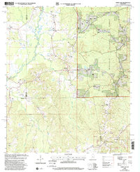 2000 White Oak2002 Print · USGSThe rural borderlands of Rankin, Simpson, and Smith Counties are captured here at the turn of the millennium. Researchers can trace family roots through numerous local landmarks, from White Oak and Heater to the Miley Cem and Merchant Ch.
 - 2012 Map of Mendenhall East, 2012 Print
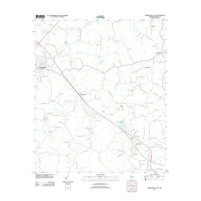 2012 Mendenhall East2012 Print · USGSSimpson County’s rural interior is captured here in the early twenty-first century, centered on the corridor between Mendenhall and Sanatorium. Researchers can trace family-named routes to sites like Poplar Springs Cem, Zion Hill, and the Martinville Oil Field.
 - 2012 Map of Shivers, 2012 Print
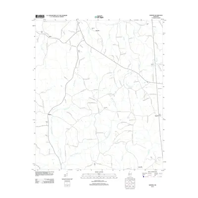 2012 Shivers2012 Print · USGSSimpson County rural life is mapped here in the early twenty-first century, spanning the landscapes of Westville and Shivers. Researchers can trace generations of local history through family sites like Rose Hill Cem, Grubbs Cem, and the old paths along W Prong Silver Cr.
 - 2012 Map of Mendenhall West, 2012 Print
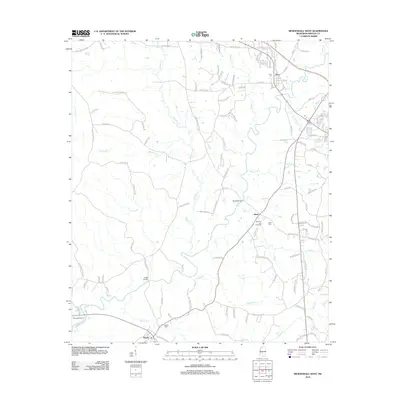 2012 Mendenhall West2012 Print · USGSSimpson County in the early twenty-first century remains defined by its river valleys and rural crossroads. Genealogists and local historians can trace family locations near the Merit Oil and Gas Field, Bishop Cem, and the river crossing at Cable Bridge.
 - 2012 Map of Magee North, 2012 Print
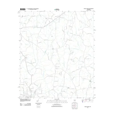 2012 Magee North2012 Print · USGSSimpson County's rural landscape is captured here in the early twenty-first century, showing a network of family-named roads and small crossroads communities. Genealogists can trace local roots through several burial sites like New Hope Cem and Dry Creek Cem, or locate historic holdings near Upton and Maddox.
 - 2012 Map of Magee South, 2012 Print
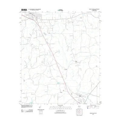 2012 Magee South2012 Print · USGSSimpson County’s rural landscape is captured here in the early twenty-first century as it stretches between Magee and Mount Olive. Researchers can trace old family footprints at Tom Sullivan Cem or locate local landmarks like McNair Millpond and the evocatively named Merry Hell.
 - 2012 Map of Harrisville, 2012 Print
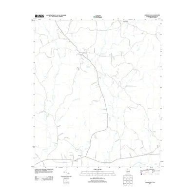 2012 Harrisville2012 Print · USGSSimpson County in the early twenty-first century reveals a landscape of rural communities and intricate creek systems. Genealogists can locate family landmarks like Harrisville Cem, Mount Olive Cem, and homes near the Strong River.
 - 2012 Map of Schley, 2012 Print
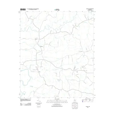 2012 Schley2012 Print · USGSThis rural Mississippi landscape south of Mendenhall is captured in the early 2010s as it centers on the river-fed terrain of Simpson County. Genealogists and local researchers can locate numerous family burial sites and landmarks like Armstrong-Buckley Cem, the Shivers Lookout Tower, and the settlement at Schley.
 - 2012 Map of White Oak, 2012 Print
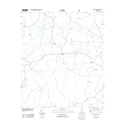 2012 White Oak2012 Print · USGSLife along the Strong River and its many tributaries is captured here in the early twenty-first century. Genealogists and local historians can trace family locations through numerous sites like Old Field Cem, Traxler, and the Puckett Oil and Gas Field.
 - 2012 Map of Puckett, 2012 Print
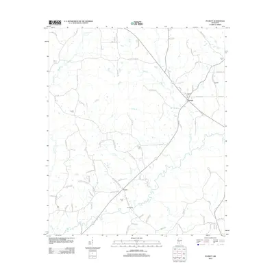 2012 Puckett2012 Print · USGSRankin County rural life is centered around the Puckett and Everett communities during the early twenty-first century. Researchers can trace family heritage through local landmarks like Puckett Cem, Ross Cem, and the river crossing at Floyd Bridge.
 - 2012 Map of Mendenhall SE, 2012 Print
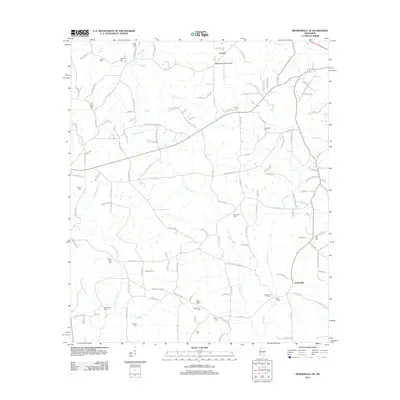 2012 Mendenhall SE2012 Print · USGSSoutheast of Magee in the early twenty-first century, this landscape is a dense network of family cemeteries and rural homesteads. Genealogists can trace deep local roots through markers at Old Saint Peter Cem, Hen Magee Cem, and the settlement of Jaynesville.
 - 2012 Map of Braxton, 2012 Print
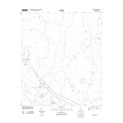 2012 Braxton2012 Print · USGSBraxton and its surrounding rural communities are captured here in the early twenty-first century, showing a landscape defined by small settlements and family history. Researchers can locate numerous local burial sites like Old Gum Springs Cem and Cato Cem, alongside landmarks like Piney Woods and the Cato Lookout Tower.
 - 2012 Map of Star, 2012 Print
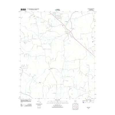 2012 Star2012 Print · USGSThe rural landscape around Simpson County comes into focus in the early 2010s, showing a network of small settlements and family cemeteries. Researchers can trace local roots at Rexford Cem, Middleton Field Cem, and the community of Anse.
 - 2012 Map of Whites, 2012 Print
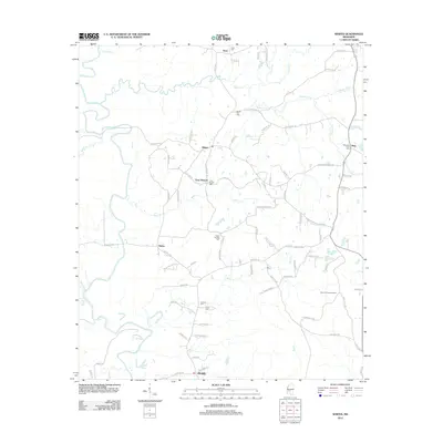 2012 Whites2012 Print · USGSRankin County rural life is preserved here in the early 2010s, showing a landscape defined by the Pearl River and quiet crossroads. Genealogists can trace family connections through numerous sites like Clear Branch Cem, Poplar Springs Cem, and Sinai Cem.
 - 2012 Map of Hopewell, 2012 Print
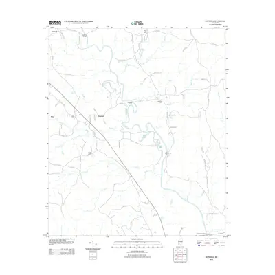 2012 Hopewell2012 Print · USGSThis Mississippi river valley landscape south of Jackson is centered on the Pearl River during the early twenty-first century. Genealogists and local researchers can trace numerous local burial sites including Zion Hill Cem, Brushy Creek Cem, and the community of Hopewell.
 - 2012 Map of Georgetown, 2012 Print
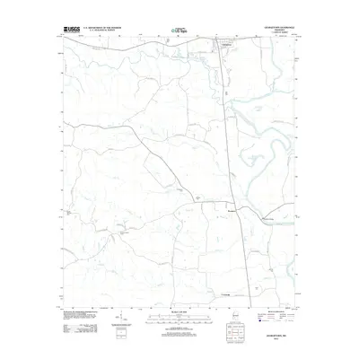 2012 Georgetown2012 Print · USGSGeorgetown and the surrounding Copiah County riverlands are documented here in the early twenty-first century. Researchers can trace local heritage through numerous burial sites like Poplar Springs Cem or locate landmarks such as the Rockport Bridge and Ashley Lookout Tower.
 - 2015 Map of Hopewell, 2015 Print
 2015 Hopewell2015 Print · USGSThe rural borderlands between Copiah and Simpson Counties are shown in the mid-2010s, centered on the winding Pearl River. Genealogists and local historians can locate several historic burial sites like Zion Hill Cem and settlements such as Hopewell and Gatesville.
 - 2015 Map of Mendenhall SE, 2015 Print
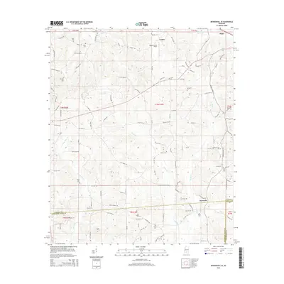 2015 Mendenhall SE2015 Print · USGSSouthern Simpson County and the outskirts of Magee are captured here in the mid-2010s as a landscape of rural family homesteads and river drainages. Genealogists can trace decades of local history through numerous sites like Old Saint Peter Cem, Jaynesville, and the Bouie River.
 - 2015 Map of Shivers, 2015 Print
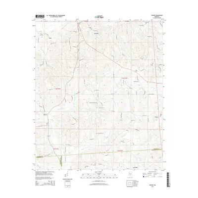 2015 Shivers2015 Print · USGSSimpson County and neighboring Lawrence and Jefferson Davis counties are captured here in the mid-2010s, showing a landscape shaped by rural tradition. Genealogists can trace family heritage through numerous burial grounds like Strong River Cem and the settlement of Shivers.
 - 2015 Map of Georgetown, 2015 Print
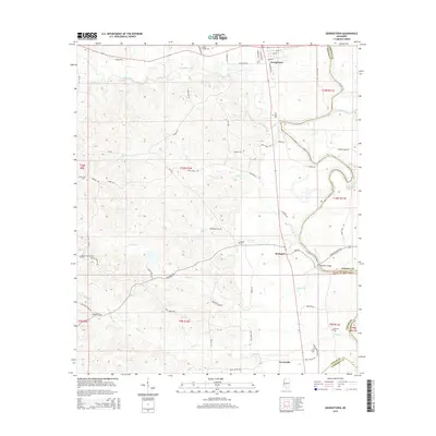 2015 Georgetown2015 Print · USGSThe confluence of the Pearl and Strong Rivers defines this Mississippi landscape in the mid-2010s. Genealogists can trace family footprints across several rural burial grounds, including Poplar Springs Cem, and explore the river-edge settlements of Georgetown and Rockport.
 - 2015 Map of Schley, 2015 Print
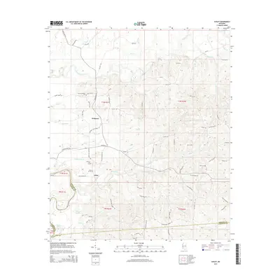 2015 Schley2015 Print · USGSSimpson County’s rural river valleys are captured here in the mid-2010s, showing the agricultural and forested landscape around Bridgeport and Schley. Genealogists can locate several family burial grounds, including the Armstrong-Buckley Cem and Taylor Hill Cem near the Strong River.
 - 2015 Map of Magee North, 2015 Print
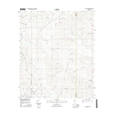 2015 Magee North2015 Print · USGSSimpson and Smith counties meet in this mid-2010s survey of the rural landscape north of Magee. Researchers can trace old family road names and locate local burial grounds like Dry Creek Cem, Pine Grove Cem, and Shady Grove Cem.
 - 2015 Map of Mendenhall West, 2015 Print
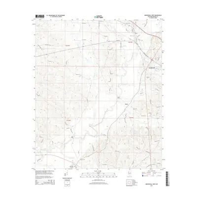 2015 Mendenhall West2015 Print · USGSSimpson County's river-bottom landscape is captured here in the mid-2010s, focused on the communities along the Strong River. Genealogists and local historians can trace family locations near Bishop Cem, Merit, and the historic crossing at Cable Bridge.
 - 2015 Map of Magee South, 2015 Print
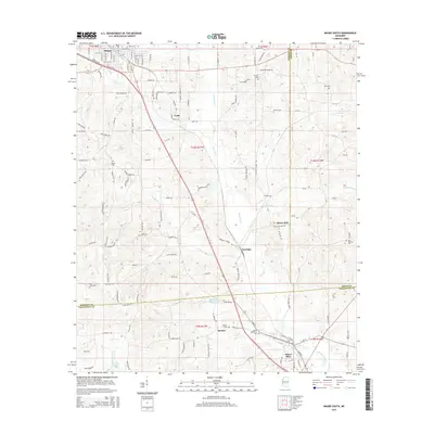 2015 Magee South2015 Print · USGSThe Piney Woods region of Simpson and Smith counties comes alive in this 2015 study of the area south of Magee. Family historians can trace local roots through numerous burial sites including McNair Cem, Ware Cem, and the settlement of Merry Hell.
 - 2015 Map of Harrisville, 2015 Print
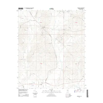 2015 Harrisville2015 Print · USGSHarrisville and the surrounding Simpson County countryside are documented here in the early twenty-first century. Researchers can locate family landmarks and burial sites like Harrisville Cemetery, New Zion Cemetery, and the community of Union.
Showing maps 1-25 of 76
Top cities of Simpson County
Frequently asked questions
- What are the different types of historical maps available for Simpson County?
- What is the oldest map of Simpson County?
- Where can I purchase historical maps of Simpson County for my home or office?
- Where can I download high-res historical maps of Simpson County?
- Are there historical topographic maps available for Simpson County?
- Is there historical aerial imagery available for Simpson County?
- Where are historical maps of Simpson County sourced from?