2020s Maps of Atchison County, Missouri
Explore 19 historic maps of Atchison County from the 2020s. These maps offer a rare glimpse into what life looked like during the 2020s — showing old roads, neighborhoods, homes, and landmarks that have changed or disappeared over time.
Whether you're researching your family's past, planning a metal detecting trip, or studying how Atchison County's landscape evolved across the 2020s, these high-resolution maps are a powerful tool for exploring the history of this region.
- Focus on a specific era: All maps on this page are from the 2020s, giving you a focused view of this time period.
- See what’s changed: Compare century-old streets, trails, and buildings to today's modern landscape using overlays and satellite layers.
- Research with precision: Use these maps for genealogy, historical research, land use analysis, or educational projects.
- View, download, or print: Maps are fully viewable online in high resolution, and can be downloaded or printed for your own records.
Start exploring Atchison County's history through authentic maps from the 2020s. This is your window into the past.
Atchison County, MO maps
(19)- 2021 Map of Tarkio East, 2021 Print
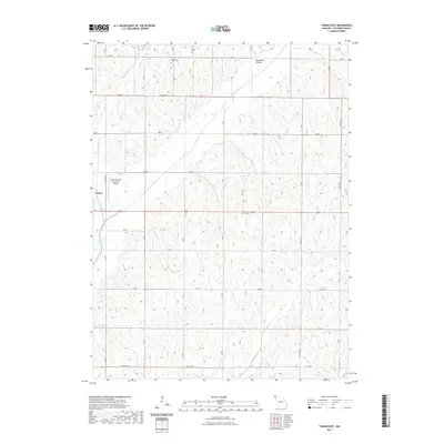 2021 Tarkio East2021 Print · USGSCovers Atchison County, including Tarkio, York, and other nearby areas
 - 2021 Map of Tarkio West, 2021 Print
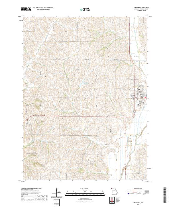 2021 Tarkio West2021 Print · USGSAtchison County's agricultural heartland is documented here in the early 2020s, centered on the western expansion of Tarkio. Genealogists and local researchers can trace family landmarks like Home Cem or follow the paths of Rock Cr and the Tarkio River.
 - 2021 Map of Rock Port, 2021 Print
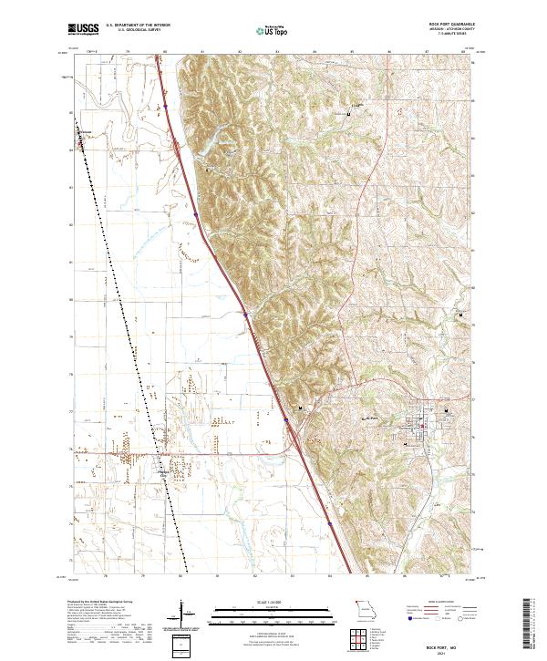 2021 Rock Port2021 Print · USGSAtchison County comes into focus in this contemporary survey of the Missouri river valley and its surrounding uplands. Researchers can trace the layout of Rock Port, locating the Atchison County Courthouse and numerous burial sites such as Millsap Cem and Linden Cem.
 - 2021 Map of Tarkio SE, 2021 Print
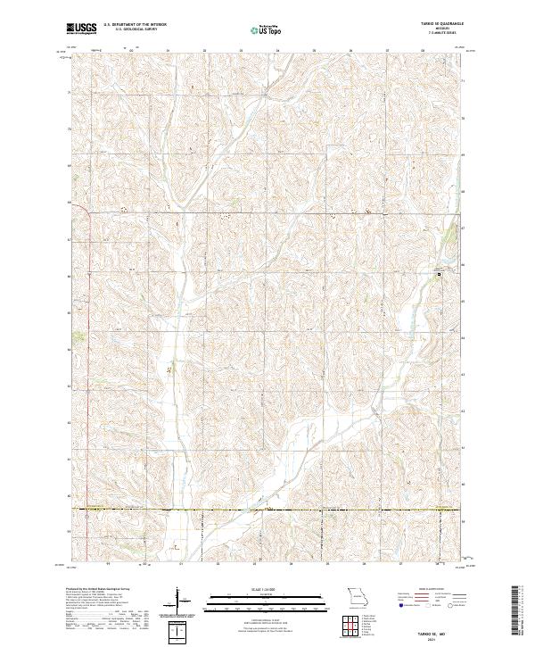 2021 Tarkio SE2021 Print · USGSAtchison and Holt counties were established agricultural hubs when this survey recorded the rolling drainage of the Little Tarkio Cr watershed. Genealogists can locate Walkup Grove Cem and trace old rural corridors such as Cemetery Rd and Hansen Ave.
 - 2021 Map of Langdon, 2021 Print
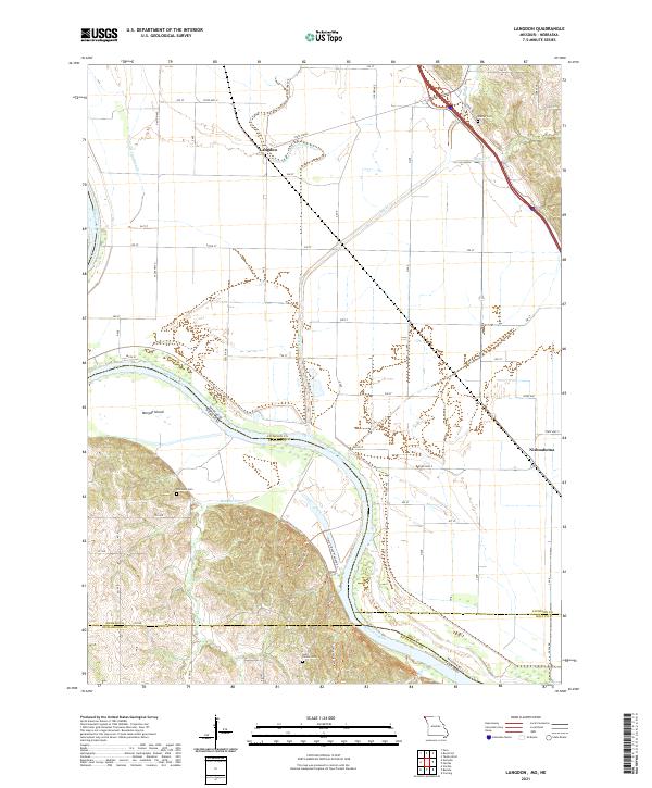 2021 Langdon2021 Print · USGSAtchison County at the Missouri-Nebraska border reveals a landscape shaped by the shifting currents of the river. Researchers can trace family history at Saint Deroin Cem or follow old watercourses like the Old Channel Nishnabotna River near Langdon.
 - 2021 Map of Dotham, 2021 Print
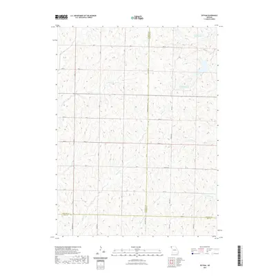 2021 Dotham2021 Print · USGSCovers Atchison County, including Oswald, Dotham, and other nearby areas
 - 2021 Map of Farmers City, 2021 Print
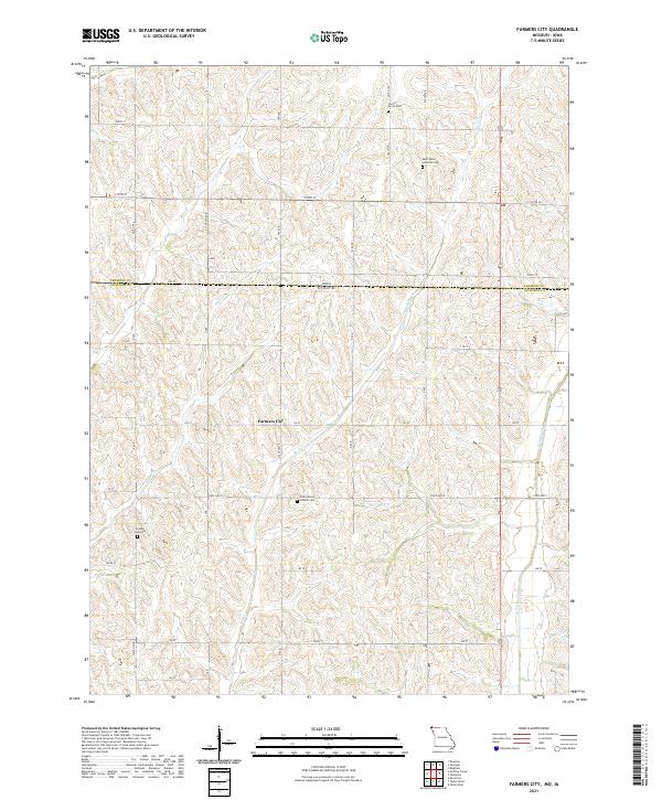 2021 Farmers City2021 Print · USGSFarmers City and the surrounding Atchison County farmland are documented here at the turn of the decade. Genealogists and historians can trace local heritage through sites like Saint Pauls Lutheran Cem and Grange Hall Cem.
 - 2021 Map of Skidmore NW, 2021 Print
 2021 Skidmore NW2021 Print · USGSCovers Atchison County, including London, Lincoln Township, and other nearby areas
 - 2021 Map of McElroy Creek, 2021 Print
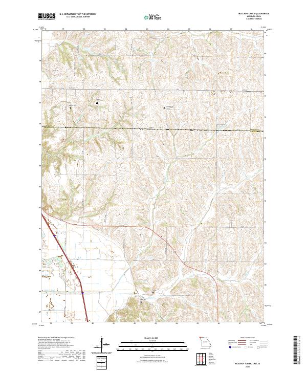 2021 McElroy Creek2021 Print · USGSThe Missouri-Iowa border region comes into focus during the early twenty-first century, showing a rural landscape defined by family history and farmland. Genealogists can trace localized roots at Mount Olive Cem, High Creek Cem, and Columbia and French Cem.
 - 2021 Map of Westboro, 2021 Print
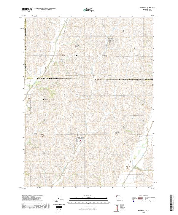 2021 Westboro2021 Print · USGSThe Missouri-Iowa border comes into focus in this recent survey of Atchison County. Genealogists and local historians can trace burial sites like Walden Grove Cem or follow the path of the Tarkio River past Westboro and Deadmans Hollow.
 - 2021 Map of Fairfax, 2021 Print
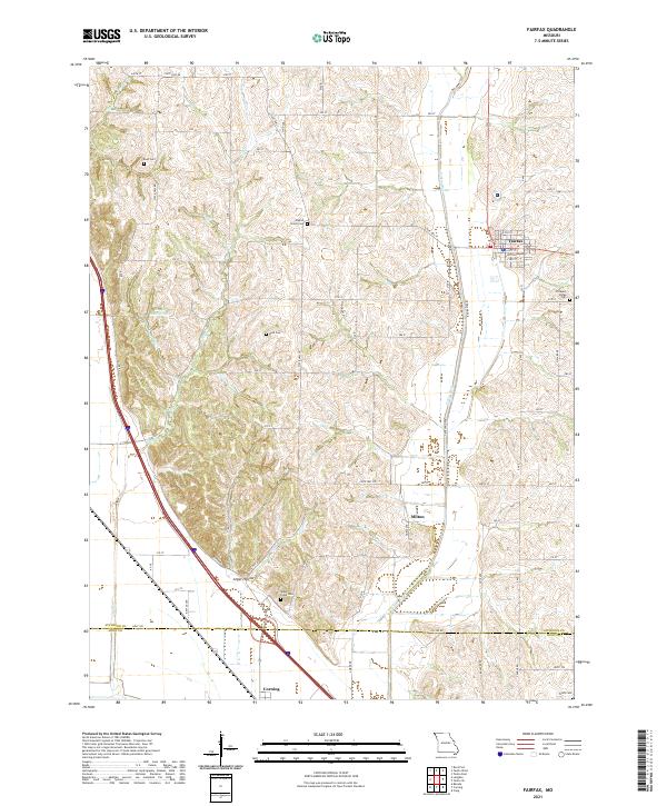 2021 Fairfax2021 Print · USGSNorthwestern Missouri's agricultural heartland is documented here in the early twenty-first century, centered on the community of Fairfax. Genealogists can trace family landmarks across several rural burial grounds, including English Grove Cemetery, Mount Hope Cemetery, and Beck Cemetery.
 - 2021 Map of Peru, 2021 Print
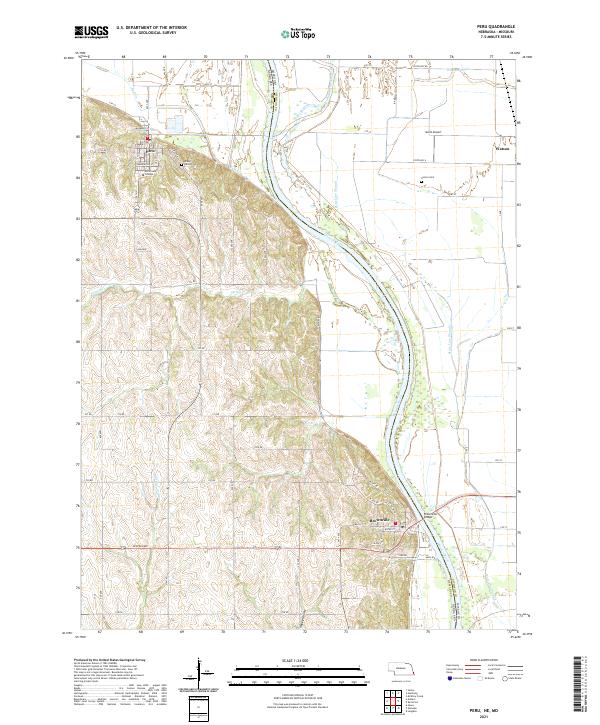 2021 Peru2021 Print · USGSThe Missouri River bluffs of Nebraska and the floodplains of Atchison County, Missouri, are captured here in the early twenty-first century. Genealogists can locate family sites at Mount Vernon Cem and Sonora Cem or trace the early campus of Peru State College.
 - 2021 Map of Julian, 2021 Print
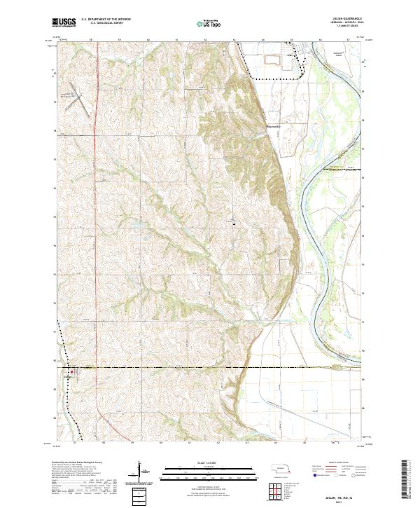 2021 Julian2021 Print · USGSThe Nebraska and Missouri borderlands come into focus in this recent survey of the Missouri River bluffs. Trace local landmarks like the Camp Creek Cem or the village of Julian and follow the path of the Steamboat Trace Trl.
 - 2021 Map of Nemaha, 2021 Print
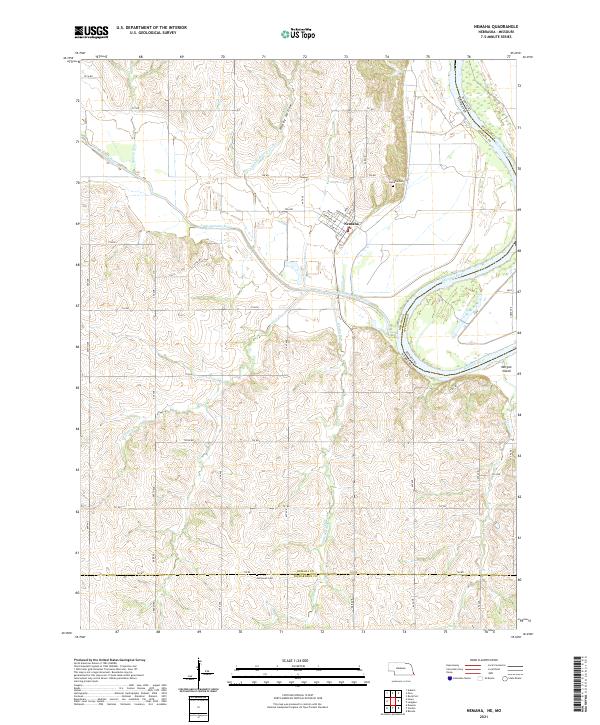 2021 Nemaha2021 Print · USGSThe bluffs and bottomlands of southeast Nebraska are captured here as they appeared in the early 2020s, centered on the village of Nemaha. Genealogists and local historians can trace the topography around Nemaha Cem and Penniwell Cem, or follow the winding Little Nemaha River to the Missouri border.
 - 2022 Map of Blanchard, 2022 Print
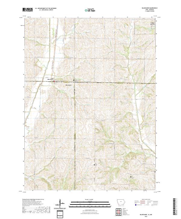 2022 Blanchard2022 Print · USGSThe Iowa-Missouri borderlands come into focus in this recent survey of the settlements between Page and Atchison counties. Genealogists can trace family footprints at Blanchard Cem, Six Corners Cem, and along the banks of the Tarkio River.
 - 2022 Map of Hamburg, 2022 Print
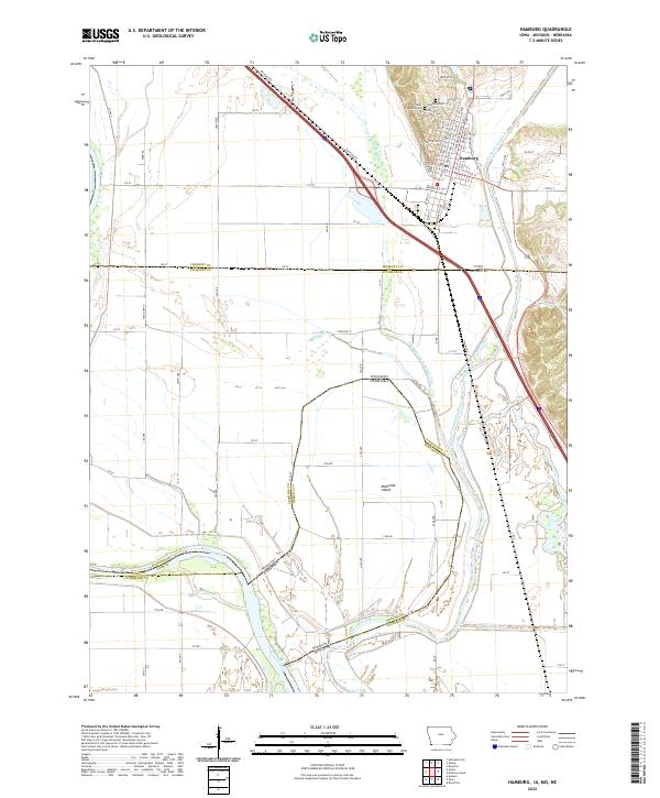 2022 Hamburg2022 Print · USGSThe tri-state border region of Iowa, Missouri, and Nebraska is captured here in the early twenty-first century as it manages its complex river systems. Genealogists and historians can trace family locations near the Hamburg Cem, Saint Marys Cem, and the unique geographic outlier of McKissick Island.
 - 2023 Map of Skidmore NW, 2023 Print
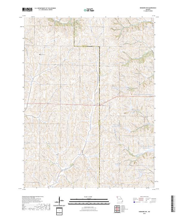 2023 Skidmore NW2023 Print · USGSNorthwest Missouri's rolling agricultural hills are meticulously documented here in the early twenty-first century as modern watershed management reshapes the land. Researchers can trace rural cemeteries like London Cem and examine a complex network of reservoirs such as Nodaway-C-20 Lake and Linville Lake.
 - 2023 Map of Dotham, 2023 Print
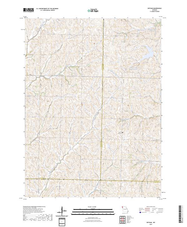 2023 Dotham2023 Print · USGSThe rural borderlands where Atchison, Nodaway, and Holt counties meet are shown here in the early 2020s. Researchers can trace land ties at Patterson Farms Lake Section 12 or locate the historic Burr Oak Church Cem among the many forks of Minnesota Valley Creek.
 - 2023 Map of Tarkio East, 2023 Print
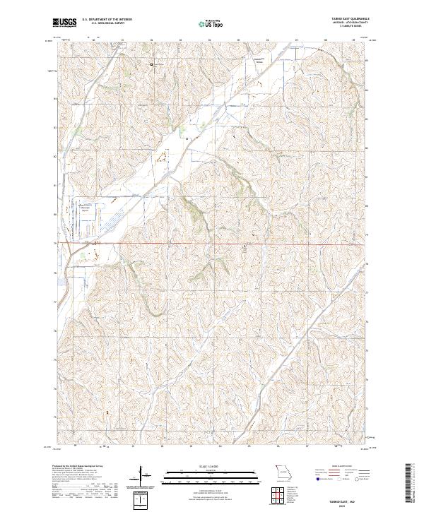 2023 Tarkio East2023 Print · USGSAtchison County's rural landscape is mapped here in the early twenty-first century, showing the organized grid of farm roads and river valleys. Researchers can locate family sites and local landmarks like Center Grove Cem, Prairie Hill Cem, and the Gould Peterson Municipal Airport.
End of results
Showing maps 1-19 of 19
Top cities of Atchison County
- Tarkio historical maps
- Rock Port historical maps
- Fairfax historical maps
- Westboro historical maps
- Watson historical maps
Frequently asked questions
- What are the different types of historical maps available for Atchison County?
- What is the oldest map of Atchison County?
- Where can I purchase historical maps of Atchison County for my home or office?
- Where can I download high-res historical maps of Atchison County?
- Are there historical topographic maps available for Atchison County?
- Is there historical aerial imagery available for Atchison County?
- Where are historical maps of Atchison County sourced from?