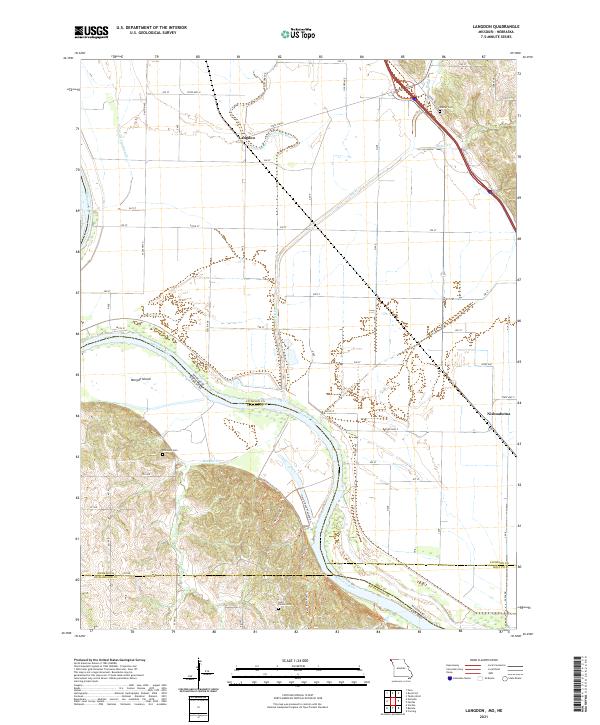
2021 Map of Langdon
USGS Topo · Published 2021This historical map portrays the area of Langdon in 2021, primarily covering Atchison County as well as portions of Nebraska. Featuring a scale of 1:24000, this map provides a highly detailed snapshot of the terrain, roads, buildings, counties, and historical landmarks in the Langdon region at the time. Published in 2021, it is the sole known edition of this map.
Map Details
Editions of this 2021 Langdon Map
This is the sole edition of this map. No revisions or reprints were ever made.
Historical Maps of Atchison County Through Time
14 maps found
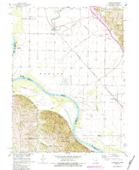
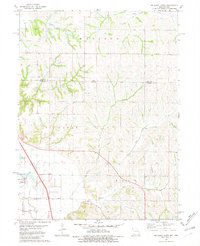
1966 Langdon
Atchison County, MO
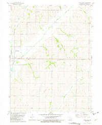
1981 Dotham
Atchison County, MO
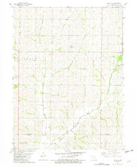
1981 Farmers City
Atchison County, MO
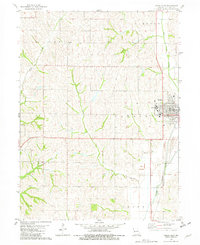
1981 McElroy Creek
Atchison County, MO
1981 Tarkio East
Atchison County, MO
1981 Tarkio SE
Atchison County, MO
1981 Tarkio West
Atchison County, MO
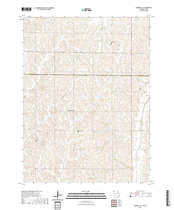
2021 Farmers City
Atchison County, MO
2021 Langdon
Atchison County, MO
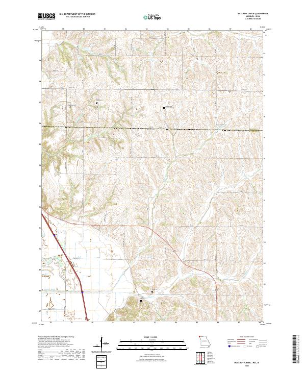
2021 McElroy Creek
Atchison County, MO
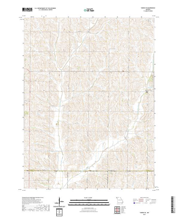
2021 Tarkio SE
Atchison County, MO
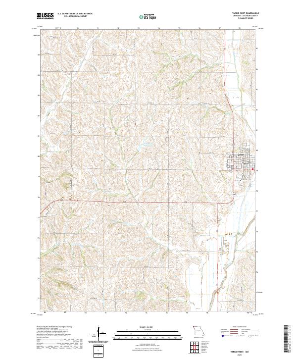
2021 Tarkio West
Atchison County, MO
2023 Dotham
Atchison County, MO
2023 Tarkio East
Atchison County, MO