2010s Maps of Atchison County, Missouri
Explore 54 historic maps of Atchison County from the 2010s. These maps offer a rare glimpse into what life looked like during the 2010s — showing old roads, neighborhoods, homes, and landmarks that have changed or disappeared over time.
Whether you're researching your family's past, planning a metal detecting trip, or studying how Atchison County's landscape evolved across the 2010s, these high-resolution maps are a powerful tool for exploring the history of this region.
- Focus on a specific era: All maps on this page are from the 2010s, giving you a focused view of this time period.
- See what’s changed: Compare century-old streets, trails, and buildings to today's modern landscape using overlays and satellite layers.
- Research with precision: Use these maps for genealogy, historical research, land use analysis, or educational projects.
- View, download, or print: Maps are fully viewable online in high resolution, and can be downloaded or printed for your own records.
Start exploring Atchison County's history through authentic maps from the 2010s. This is your window into the past.
Atchison County, MO maps
(54)- 2010 Map of Blanchard, 2010 Print
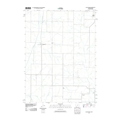 2010 Blanchard2010 Print · USGSThe Iowa-Missouri borderlands at the start of the 2010s remain a landscape of quiet agricultural tradition and scattered settlements. Genealogists and local historians can trace the locations of numerous burial grounds, including Grove, High Prairie, and Six Corners.
 - 2010 Map of Julian, 2010 Print
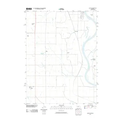 2010 Julian2010 Print · USGSJulian and the Missouri River bottoms are shown in the early twenty-first century as the landscape balances its agricultural roots with modern infrastructure. Researchers can locate Camp Creek Cemetery, the village of Minersville, and the Julian Post Office.
 - 2010 Map of Westboro, 2010 Print
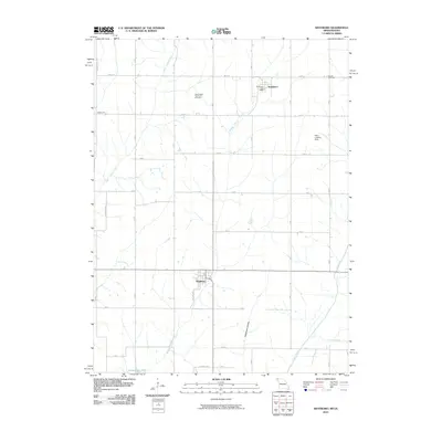 2010 Westboro2010 Print · USGSThe Missouri-Iowa borderlands near Westboro are documented here at the start of the decade, showing the rural landscape and creek-fed valleys of Atchison County. Researchers can locate the Washington Township Cemetery, the Northboro Post Office, and the private Henn Landing Strip.
 - 2010 Map of Hamburg, 2010 Print
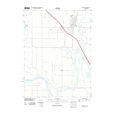 2010 Hamburg2010 Print · USGSFremont County sits at a riverine crossroads in the first decade of the millennium, where drainage engineering shapes the fertile bottoms. Researchers can trace the layout of Hamburg, locate Saint Marys Cemetery, and follow the path of the Nishnabotna River.
 - 2010 Map of McElroy Creek, 2010 Print
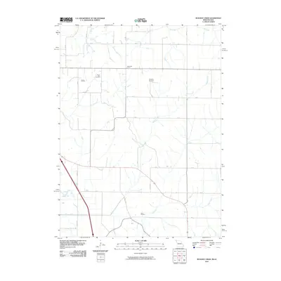 2010 McElroy Creek2010 Print · USGSAtchison County, Missouri, is captured here in the early twenty-first century, showing a highly organized landscape of family farms and rural roads. Genealogists can locate several local burial sites, including Beehive Cemetery and the Columbia and French Cemetery.
 - 2010 Map of Farmers City, 2010 Print
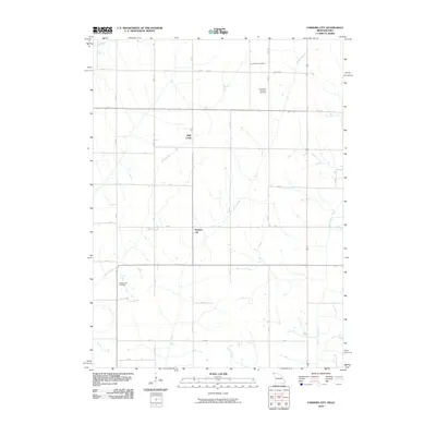 2010 Farmers City2010 Print · USGSNorthwest Missouri farmland is captured here in the early 2000s, showing the intersection of long-standing agricultural life and rural infrastructure. Genealogists can locate several burial grounds including Locust Grove Cemetery and Grange Hall Cemetery.
 - 2011 Map of Peru, 2011 Print
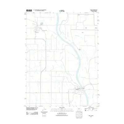 2011 Peru2011 Print · USGSThe Missouri River floodplain comes to life in this contemporary survey of the Nebraska-Missouri border region. Genealogists and historians can trace local landmarks from Mount Vernon Cemetery to the Brownville Bridge, alongside settlements like Peru and Sonora.
 - 2011 Map of Nemaha, 2011 Print
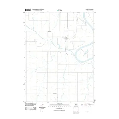 2011 Nemaha2011 Print · USGSSoutheast Nebraska and the Missouri border are documented here in the early twenty-first century, centered on the riverfront town of Nemaha. Genealogists can locate family landmarks like the Nemaha Cemetery and Penniwell Cemetery, or trace the winding course of Whisky Run.
 - 2011 Map of Julian, 2011 Print
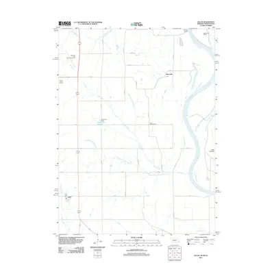 2011 Julian2011 Print · USGSThe river bluffs and agricultural plateaus of Nemaha County come to life in this survey from the early 2010s. Researchers can locate the Julian Post Office, trace the banks of the Missouri River near Schemmel Island, and find the historic Camp Creek Cemetery.
 - 2012 Map of Tarkio West, 2012 Print
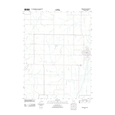 2012 Tarkio West2012 Print · USGSThe township of Tarkio and its surrounding Missouri farmstead grid are captured here in the early twenty-first century. Genealogists and local historians can trace the paths of Rock Creek and the Tarkio River alongside landmarks like Centerview Fishing Lake.
 - 2012 Map of Skidmore NW, 2012 Print
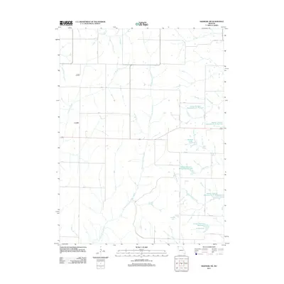 2012 Skidmore NW2012 Print · USGSLondon and the agricultural borderlands of Atchison and Nodaway counties are shown here during the early twenty-first century. Researchers can trace the extensive Hoover Frankum Watershed system, identifying A-11 Reservoir, Nodaway C-20 Lake, and the historic London Cemetery.
 - 2012 Map of Westboro, 2012 Print
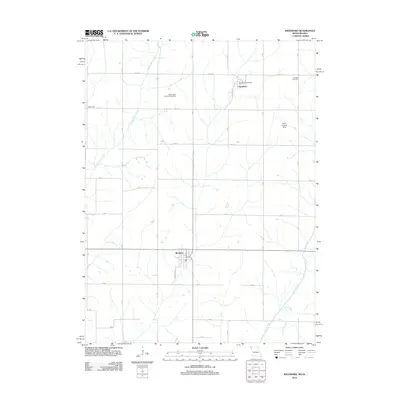 2012 Westboro2012 Print · USGSThe Missouri-Iowa borderlands near Westboro come into focus in this recent survey of the Tarkio River valley. Genealogists and local historians can locate family landmarks like Houser Cemetery, Washington Township Cemetery, and the Northboro Post Office.
 - 2012 Map of McElroy Creek, 2012 Print
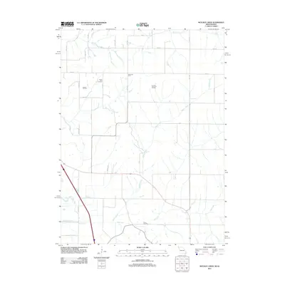 2012 McElroy Creek2012 Print · USGSThe Missouri-Iowa borderlands are captured here in the early twenty-first century, showing a landscape defined by traditional farming and prairie drainage. Genealogists can trace family footprints at Beehive Cemetery, Stoner Cemetery, and the rural settlement of McKissacks Grove.
 - 2012 Map of Farmers City, 2012 Print
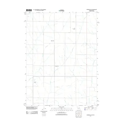 2012 Farmers City2012 Print · USGSFarmers City and the surrounding Atchison County farmland are shown here in the early twenty-first century, structured by a network of drainage creeks and grid roads. Researchers can locate family sites near Saint Pauls Lutheran Cemetery, Grange Hall Cemetery, and the banks of Rock Creek.
 - 2012 Map of Fairfax, 2012 Print
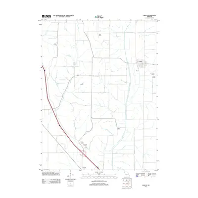 2012 Fairfax2012 Print · USGSFairfax and the surrounding Atchison County countryside appear in clear detail during the early twenty-first century. Local historians can trace family roots at Mount Hope Cemetery or Beck Cemetery and locate rural landmarks like Steele Airport.
 - 2012 Map of Tarkio East, 2012 Print
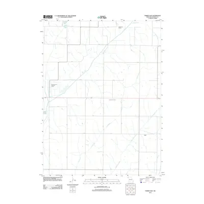 2012 Tarkio East2012 Print · USGSAtchison County's rural heartland is documented here in the early twenty-first century, showing a landscape defined by traditional agriculture and winding waterways. Researchers can locate the settlement of York and trace features like the Prairie Hill Cemetery and Deadmans Hollow.
 - 2012 Map of Rock Port, 2012 Print
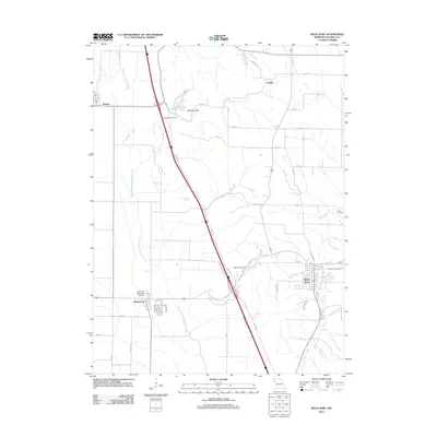 2012 Rock Port2012 Print · USGSAtchison County in the early twenty-first century reveals a landscape shaped by the Missouri River floodplain and local tributaries. Researchers can trace family history at Green Hill Cemetery or explore the rural environs of Watson and Phelps City.
 - 2012 Map of Tarkio SE, 2012 Print
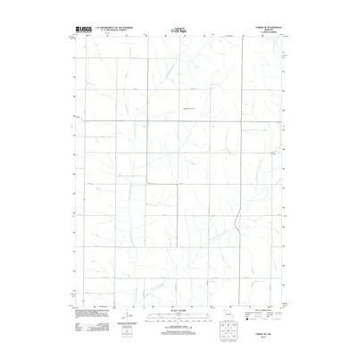 2012 Tarkio SE2012 Print · USGSAtchison County's agricultural grid and drainage basins are captured here in the early twenty-first century. Genealogists and local historians can locate the Walkup Cemetery or trace the winding courses of Little Tarkio Creek and Wildcat Creek.
 - 2012 Map of Langdon, 2012 Print
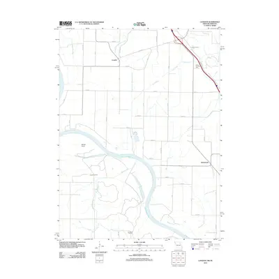 2012 Langdon2012 Print · USGSThe Missouri-Nebraska borderlands are shown in detail during the early 2010s, where the great river bend dictates the rural landscape. Genealogists can locate family sites at Hunter Cemetery or Hillsdale Cemetery and trace the former path of the Old Channel Nishnabotna River.
 - 2012 Map of Dotham, 2012 Print
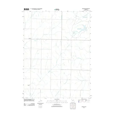 2012 Dotham2012 Print · USGSAgricultural life in Atchison County is captured here in the early 2010s. Researchers can trace rural settlement patterns near Dotham and Oswald or locate the numerous water bodies of Patterson Farms Lake Section 13.
 - 2013 Map of Hamburg, 2013 Print
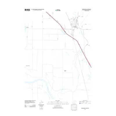 2013 Hamburg2013 Print · USGSHamburg occupies a unique tri-state river junction during the early twenty-first century, where the Iowa and Missouri borders meet the Nebraska shoreline. Genealogists and local historians can trace the town grid and landmarks like McKissick Island or the Hamburg-Mitchell Access.
 - 2013 Map of Blanchard, 2013 Print
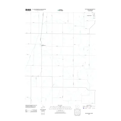 2013 Blanchard2013 Print · USGSCrossing the Iowa-Missouri border in the early 2010s, this landscape shows the rural agricultural character of Page County. Genealogists can trace the residential layouts of Blanchard and College Springs or follow the waters of the Tarkio River.
 - 2014 Map of Peru, 2014 Print
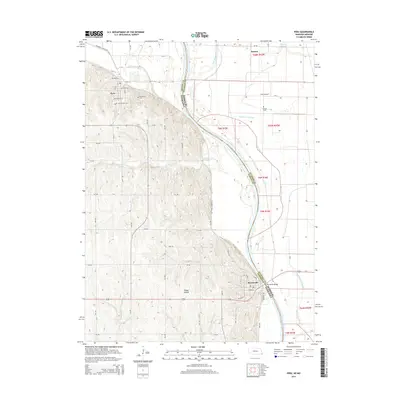 2014 Peru2014 Print · USGSThe Missouri River bluffs and bottomlands come alive in this recent survey of the Nebraska-Missouri borderlands. Genealogists and researchers can trace the streets of Peru and Brownville, locate the Peru State Coll campus, or find rural burial sites like Mt Vernon Cem.
 - 2014 Map of Nemaha, 2014 Print
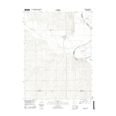 2014 Nemaha2014 Print · USGSThe village of Nemaha sits at the confluence of prairie and river bottom in the early twenty-first century. Genealogists and local historians can locate Nemaha Cem and Penniwell Cem while tracing watercourses like Whisky Run and Happy Hollow Cr.
 - 2014 Map of Julian, 2014 Print
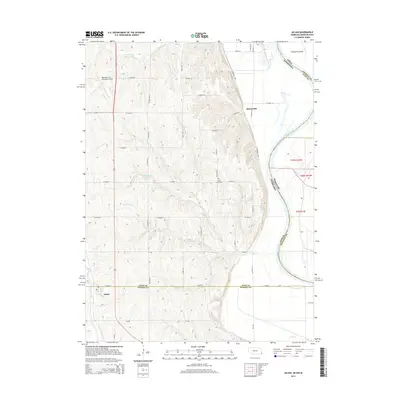 2014 Julian2014 Print · USGSThe borderlands of Nebraska, Iowa, and Missouri come into focus in this 2014 study of the Missouri River valley. Genealogists and local historians can trace the rural layouts of Julian and Minersville, or locate family sites near the Camp Creek Cem.
Showing maps 1-25 of 54
Top cities of Atchison County
- Tarkio historical maps
- Rock Port historical maps
- Fairfax historical maps
- Westboro historical maps
- Watson historical maps
Frequently asked questions
- What are the different types of historical maps available for Atchison County?
- What is the oldest map of Atchison County?
- Where can I purchase historical maps of Atchison County for my home or office?
- Where can I download high-res historical maps of Atchison County?
- Are there historical topographic maps available for Atchison County?
- Is there historical aerial imagery available for Atchison County?
- Where are historical maps of Atchison County sourced from?